6.2 hr
Overview
Drive to the Chilao Visitor Center and keep going down the road until you get to a small parking area indicated on the map. There are just four spots so you may need to turn around and park at one of the parking areas you pass. <br><br>The ride begins on this road; head west until you see some buildings and intersect another road. Take a right and you'll begin the climb up to Hillyer Trail. This road eventually turns into a dirt fire road. At the northernmost point on the trail map, you'll intersect a paved road; turn right. Continue until you reach the trailhead on the right. It is marked with signs and a Forest Service information board. <br><br>The singletrack begins here. The steepest and hardest climb, "The Wall" is ahead. Once you make it up that, you'll reach the summit where you can take a break and get some great panoramic photos of the area. <br><br>The trail now goes down along some of the most fun technical singletrack around. Hillyer Trail is a mix of sand and rock that makes for some interesting features. There is not any exposure on this trail, so its a lot more forgiving than most technical trails around. <br><br>The trail will end at a campground. The Hillyer and Chilao Loops take you to Silver Moccasin Trail from here. However, if you ride up the road at this campsite you can get another two miles of fun singletrack with minimal and easy climbing. <br><br>Take the paved access road uphill, and it will eventually connect to a wider paved road. Take a right and follow this road. It will come to a small parking area at Christian Camp where you can connect to the Silver Moccasin Trail (on the right) or continue on. If you continue along the road, there isn't much more climbing. Follow the road to the parking area ahead where the Silver Moccasin Trail begins. You'll see a bathroom and a trail marker next to it. <br><br>The trail marker is for the Pacific Crest Trail. Bikes are not allowed on the PCT but the Silver Moccasin Trail starts less than 100' down this trail. Walk your bike down the hill and
Trail Stats
21.4 km
502 m
1885 m
1576 m
—
Photos
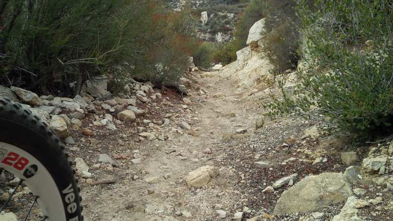
A clear section without steps or boulders. But wait, there's more...
A clear section without steps or boulders. But wait, there's more...
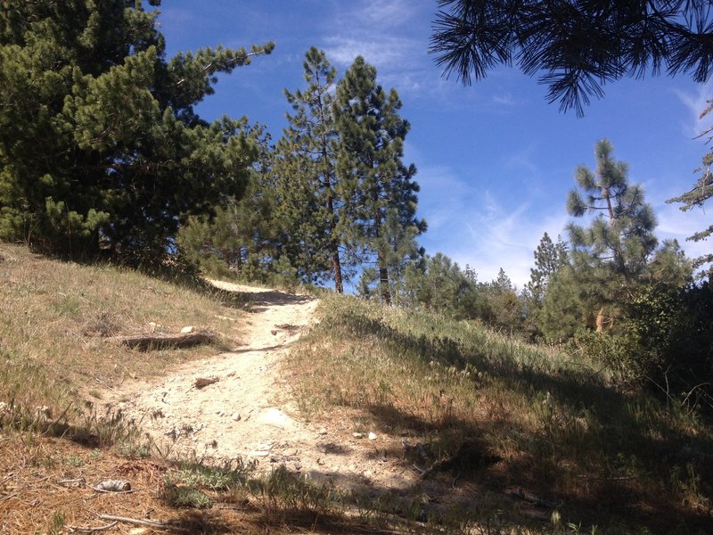
It's steeper than it looks
It's steeper than it looks
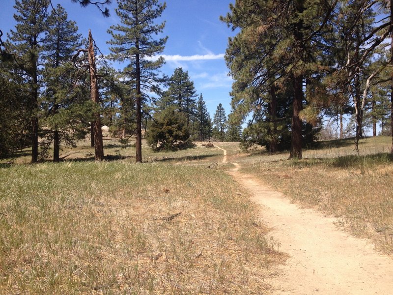
Meadow
Meadow
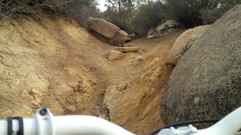
Big, doable obstacles and steeps
Big, doable obstacles and steeps
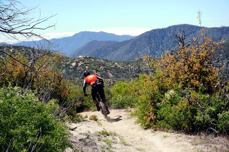
Silver Moccasin Tr between Christian Camp and Three Points is beautiful and fun, if often overlooked, out-and-back section of trail.
Silver Moccasin Tr between Christian Camp and Three Points is beautiful and fun, if often overlooked, out-and-back section of trail.
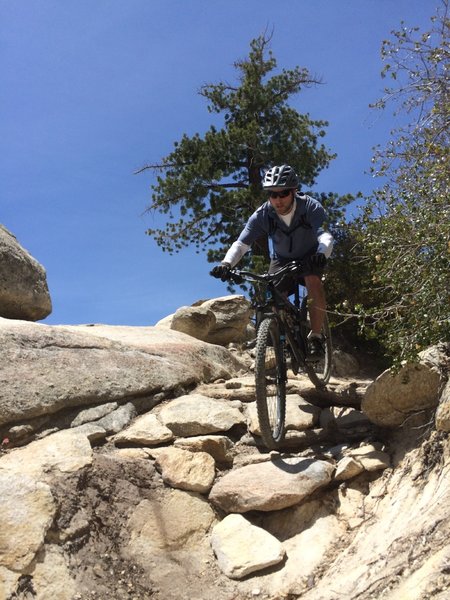
Rock fun
Rock fun
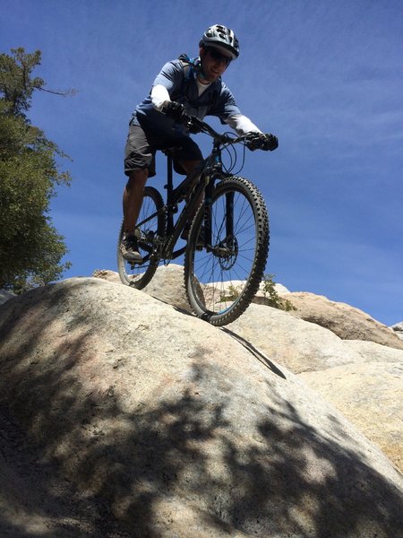
More rock puzzles
More rock puzzles