6.2 hr
Overview
Starting at Lower Aliso Canyon trailhead where it intersects with Bane Canyon Rd., take Bane Canyon Rd. north, then veer left after a bit onto the old Bane Canyon Rd. for a nice couple miles of warm up. At 1.6 miles, turn left and climb the doubletrack for a quarter mile. Stay left at the top as a right turn will drop you down Sidewinder and you'll miss all the fun. Fasten your seat belt for one of two excellent drops. After the second drop and a brief ascent, cross under the power lines for the fast and flowy section of Bane Ridge Trail. <br><br>Bane Ridge Trail drops you out onto Bane Ridge Rd. Turn right and head downhill toward Rolling M Ranch. Hook a left after a short descent, pass up and around the gate, and begin the burly fire road climb section on South Ridge. After a 1.25-mile ascent, the road veers right, but stay left for the 14% grade up San Juan Hill, the tallest point of the park. At the top, take a breather and check out the spectacular 360-degree view! <br><br>This is where the fun begins, again! Get ready for a fast and furious drop down South Ridge Rd. to Bovinian Delight Trail. The trail is signed, but you'll have to brake fast to make the hard right turn. Continue down Bovinian Delight Trail for more undulating singletrack fun. Be mindful as there are more people (hikers, bikers, and equestrians) ascending the trail, than descending. At the bottom, stop and take a break at four corners, or blow through, staying to the right to begin an easy ascent up Raptor Ridge. Raptor Ridge is the only singletrack option at four corners, and it is signed. <br><br>After a short distance, you'll quickly encounter the only true technical bit of the ride. Its a hard left, up and over an outcropping of jagged rock. <br><br>Continue on to the power tower and begin another short descent down a short doubletrack, keeping in mind you'll want to be prepared for a quick and hard left. This trail is the aptly-named Faultline Trail (signed), as it parallels the Yorba Linda tangent/spur section of the bigger, Yorba Li
Trail Stats
21.4 km
515 m
522 m
216 m
—
Photos
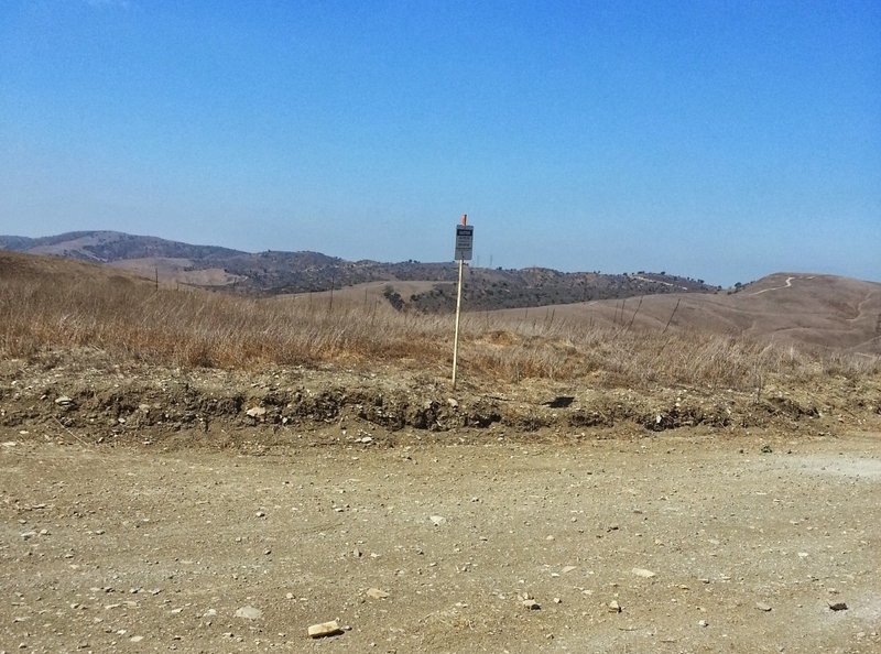
View from South Ridge fire road
View from South Ridge fire road
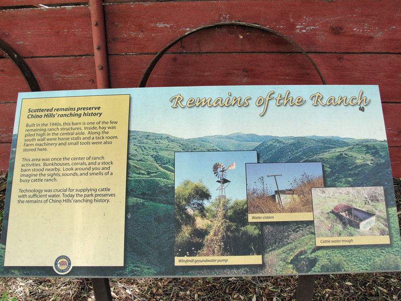
Signage at Rolling M Ranch.
Signage at Rolling M Ranch.
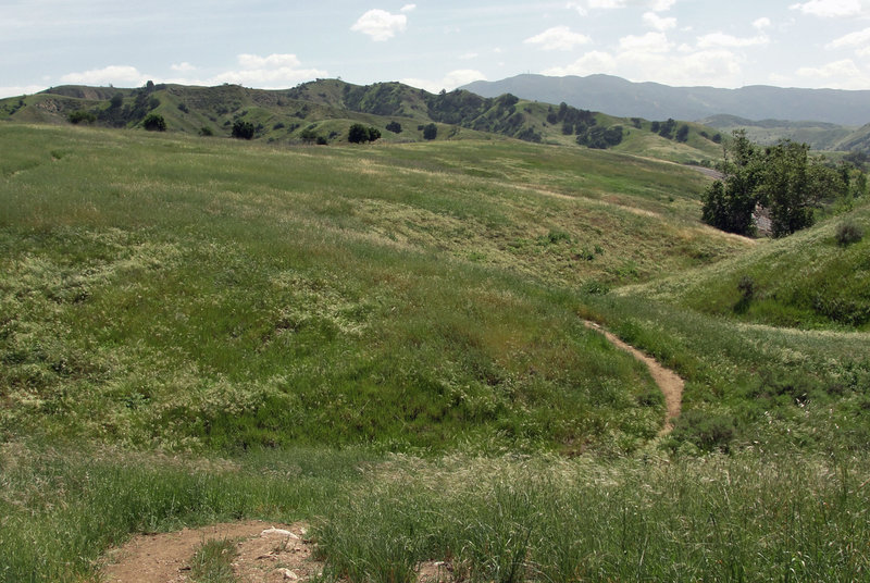
A fun, little singletrack connector to finish off the ride, referred to as 'Young Magicness' on Strava.
A fun, little singletrack connector to finish off the ride, referred to as 'Young Magicness' on Strava.
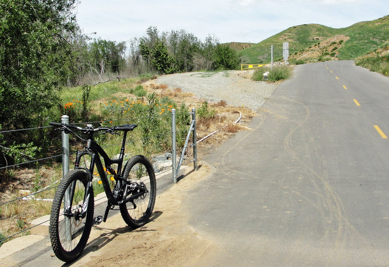
Veer left here onto the old Bane Cyn route.
Veer left here onto the old Bane Cyn route.
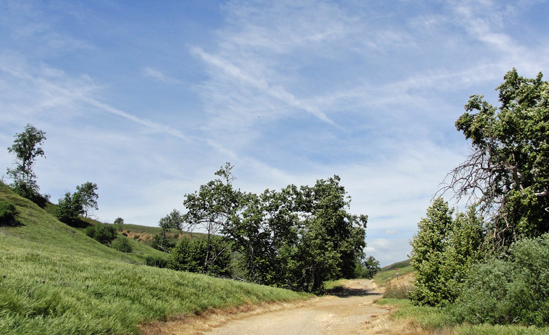
Leisurely ascent up the old Bane Cyn roadbed.
Leisurely ascent up the old Bane Cyn roadbed.
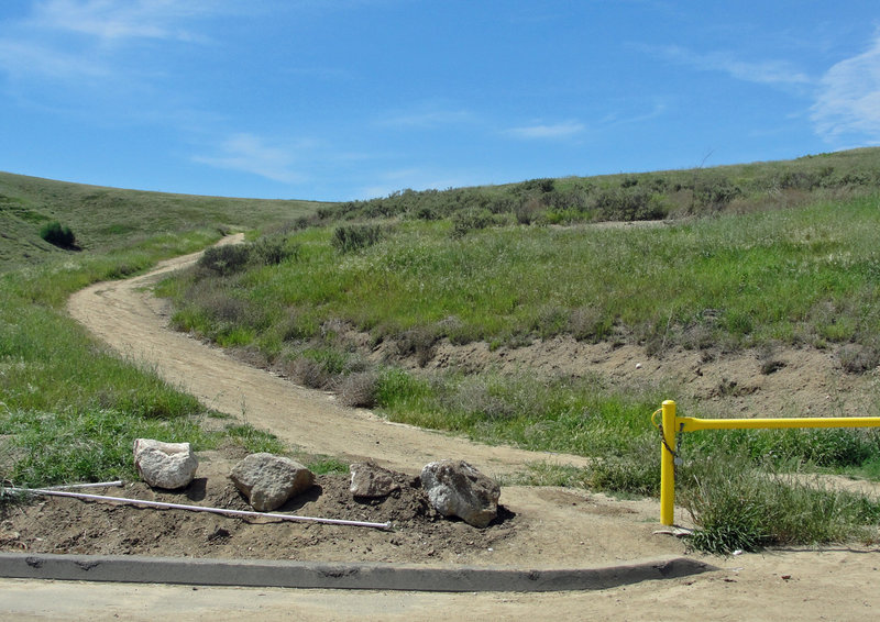
Bane Ridge turn off; hook a hard left here from Bane Cyn road, to begin your ascent up the doubletrack section.
Bane Ridge turn off; hook a hard left here from Bane Cyn road, to begin your ascent up the doubletrack section.
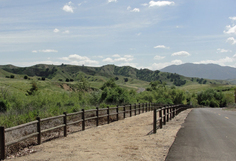
Stay left, and prepare for a hard-left, across the bridge, just before the bottom of the hill.
Stay left, and prepare for a hard-left, across the bridge, just before the bottom of the hill.
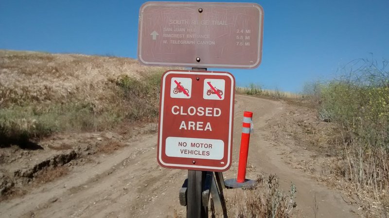
At the turn onto South Ridge to climb back to Four Corners
At the turn onto South Ridge to climb back to Four Corners
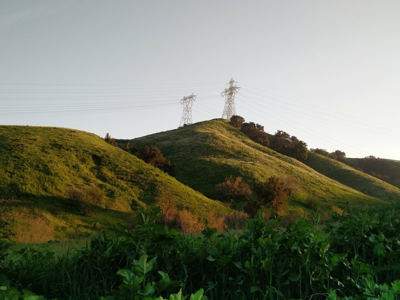
Towers stand in the distance along the South Ridge Trail.
Towers stand in the distance along the South Ridge Trail.
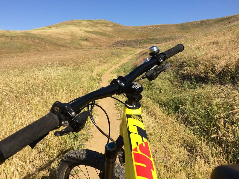
Going up to Bane Ridge Trail..past the water tank..pleasant singletrack.
Going up to Bane Ridge Trail..past the water tank..pleasant singletrack.
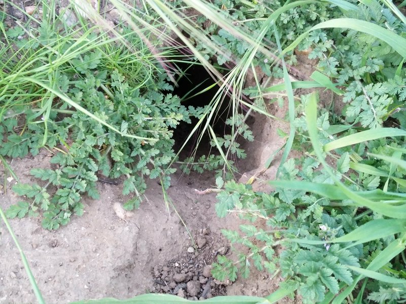
Is this a coyote home? Leave a comment below.
Is this a coyote home? Leave a comment below.
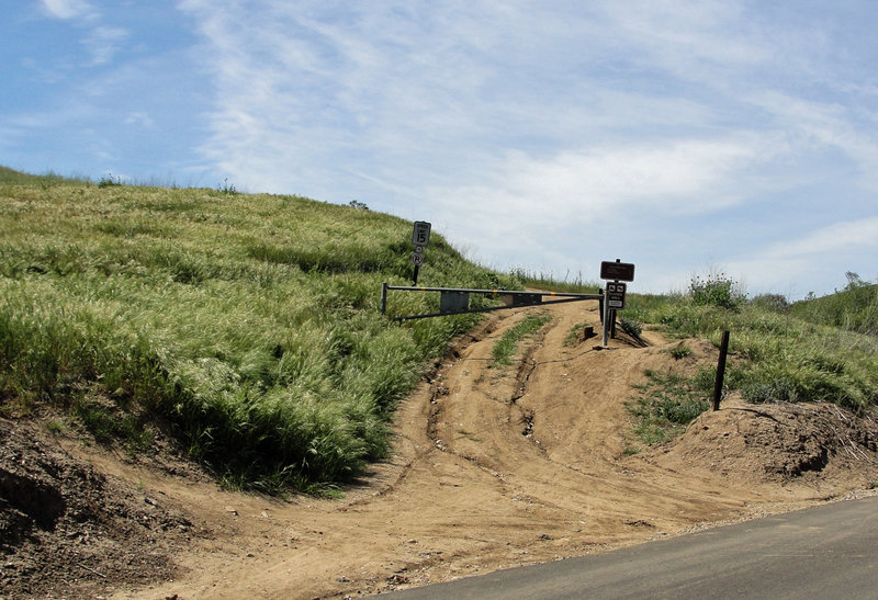
Left here, for the brutal climb up Southridge to the highest peak in the park; San Juan Hill.
Left here, for the brutal climb up Southridge to the highest peak in the park; San Juan Hill.
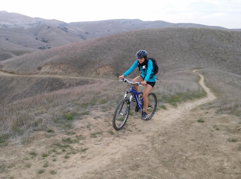
At the top already? On Bane Ridge Trail
At the top already? On Bane Ridge Trail
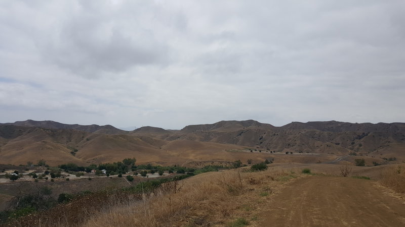
Shot from South Ridge (before the fork back to 4 corners). Looking at the Ranger Station/ campground. Nice day for riding!
Shot from South Ridge (before the fork back to 4 corners). Looking at the Ranger Station/ campground. Nice day for riding!
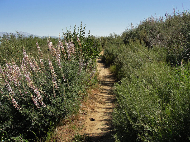
A nice cluster of Bush Lupine growing alongside Bovinian Delight!
A nice cluster of Bush Lupine growing alongside Bovinian Delight!
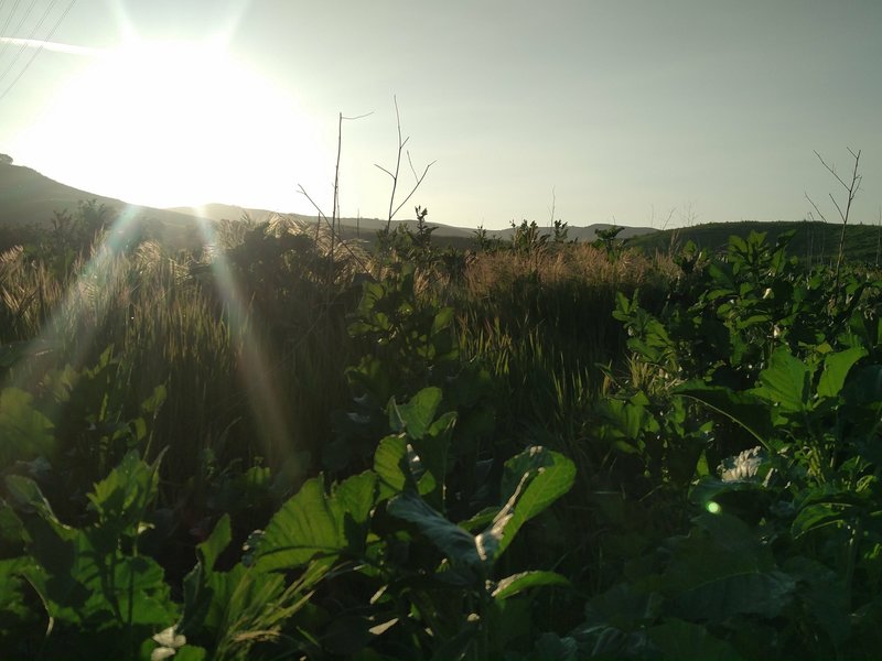
Poppy flowers are soon to bloom in Chino Hills State Park in early March.
Poppy flowers are soon to bloom in Chino Hills State Park in early March.
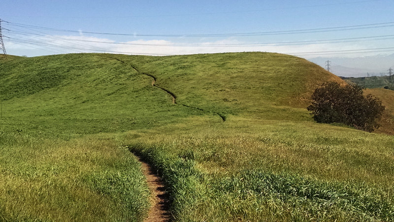
Fun and flowy Raptor Ridge!
Fun and flowy Raptor Ridge!
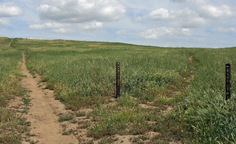
Hook a right here (Spur) for the last leg of the ride back to Bane Cyn road.
Hook a right here (Spur) for the last leg of the ride back to Bane Cyn road.
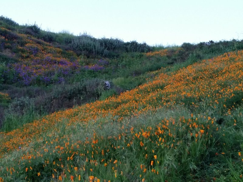
Orange poppies bed down for the night along the South Ridge Trail.
Orange poppies bed down for the night along the South Ridge Trail.
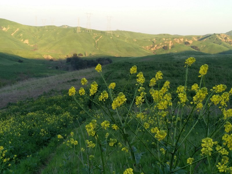
The sun sets over Chino Hills State Park and the South Ridge Trail.
The sun sets over Chino Hills State Park and the South Ridge Trail.
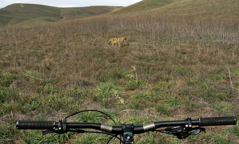
Brother Coyote.
Brother Coyote.
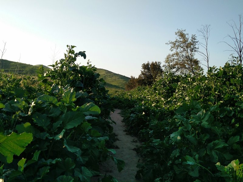
Some parts of the South Ridge Trail have dense undergrowth right up to the trail.
Some parts of the South Ridge Trail have dense undergrowth right up to the trail.
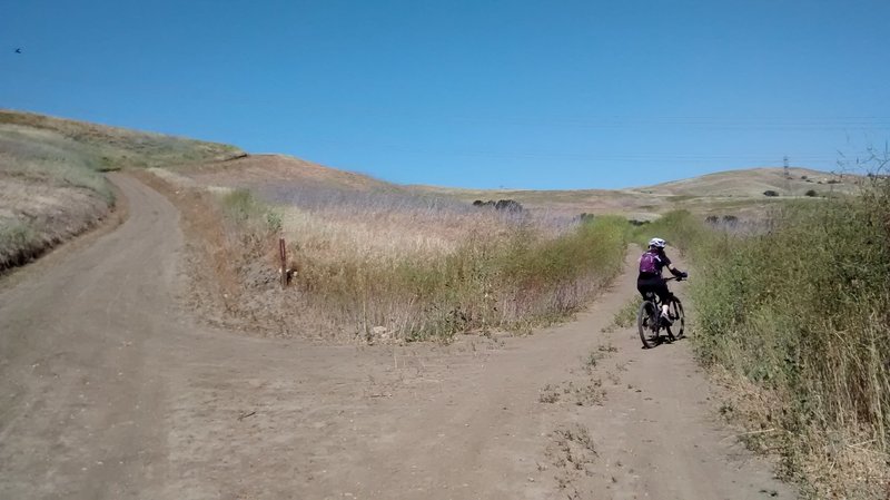
Turning right at the first fork, marked "Telegraph".
Turning right at the first fork, marked "Telegraph".
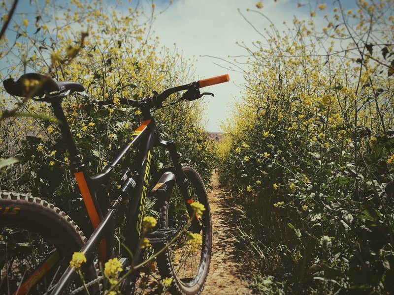
Narrow singletrack
Narrow singletrack
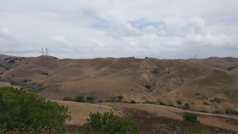
Taken from South Ridge, looking at the Telegraph Road climb back to 4 Corners and the ending of Raptor Ridge.
Taken from South Ridge, looking at the Telegraph Road climb back to 4 Corners and the ending of Raptor Ridge.
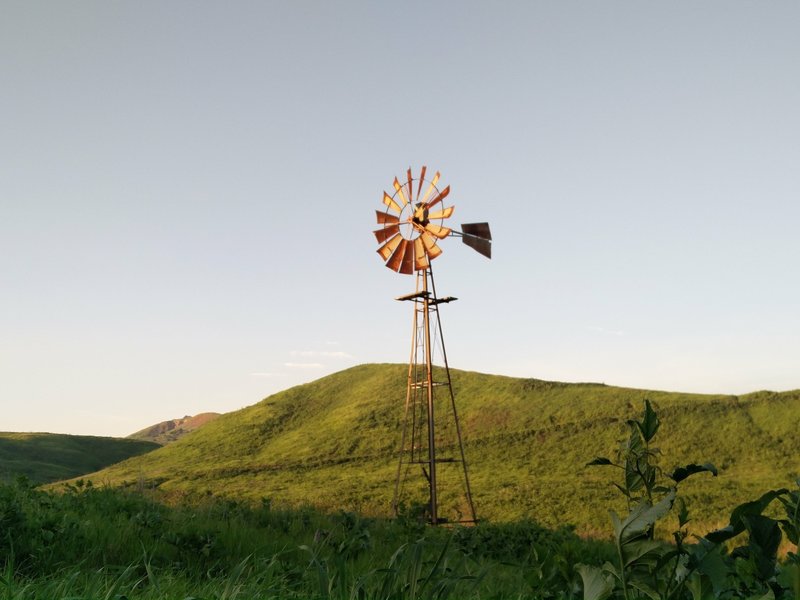
A windmill stands guard along the South Ridge Trail.
A windmill stands guard along the South Ridge Trail.
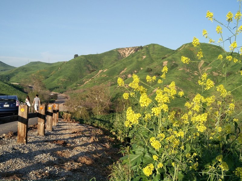
Chino Hills State Park is rife with wildflowers after a wet spring.
Chino Hills State Park is rife with wildflowers after a wet spring.
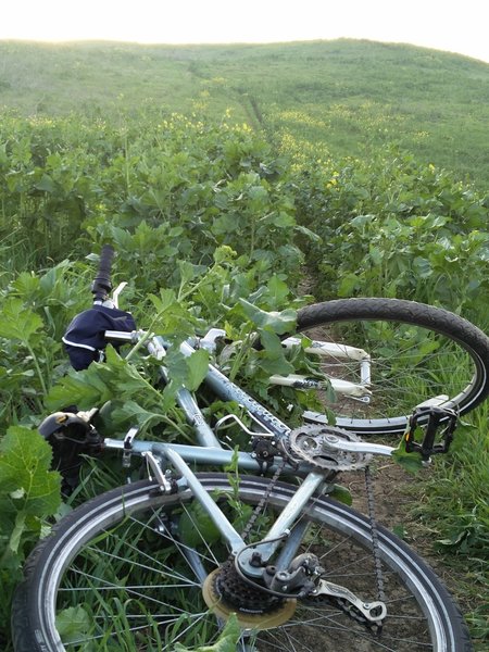
At least if you fall along the South Ridge Trail, it will be into soft green plants!
At least if you fall along the South Ridge Trail, it will be into soft green plants!
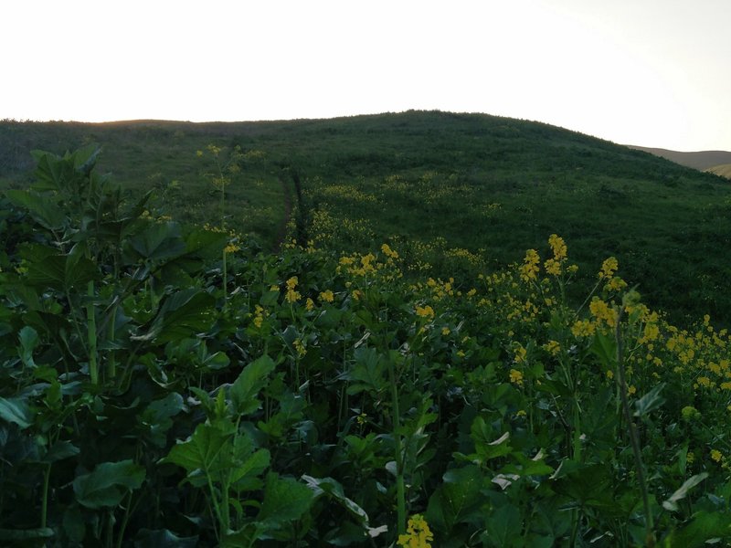
Lovely yellow flowers pepper the fields alongside the South Ridge Trail.
Lovely yellow flowers pepper the fields alongside the South Ridge Trail.
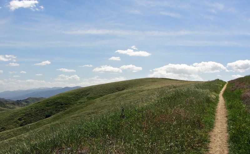
Nice warm up climb on the Bane Ridge doubletrack, headed for the crest.
Nice warm up climb on the Bane Ridge doubletrack, headed for the crest.
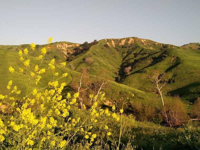
Chino Hills State Park comes alive in the spring.
Chino Hills State Park comes alive in the spring.
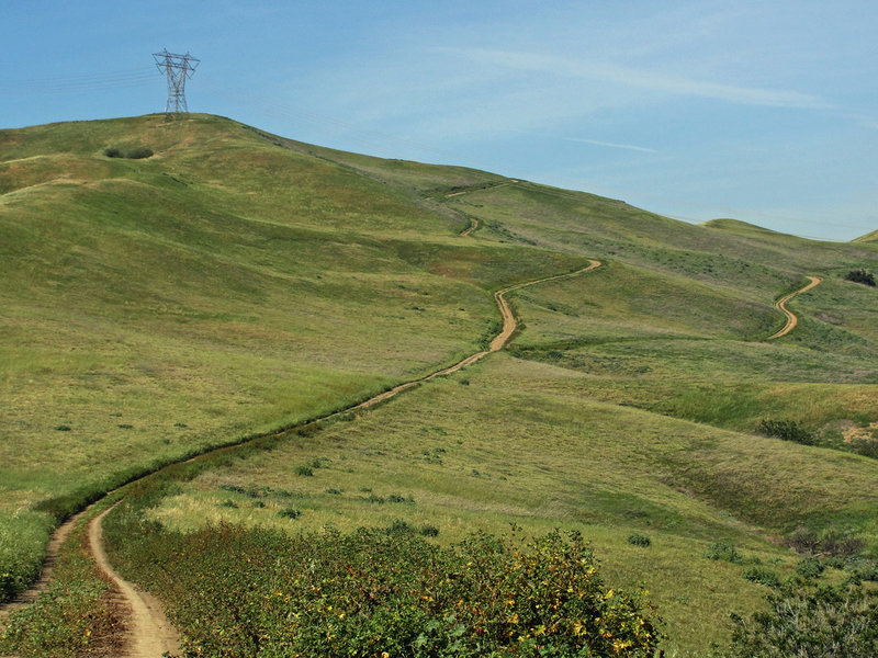
Stay left at the fork to stay on Southridge for the burly climb up San Juan Hill. The 360 degree view of SoCal from the top is the pay-off; not to mention the descent on Bovinian Delight!
Stay left at the fork to stay on Southridge for the burly climb up San Juan Hill. The 360 degree view of SoCal from the top is the pay-off; not to mention the descent on Bovinian Delight!
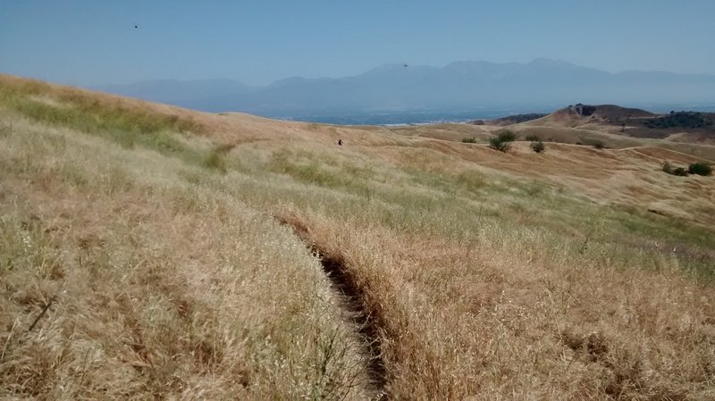
RIding partner disappearing into the distance at the start of Raptor Ridge
RIding partner disappearing into the distance at the start of Raptor Ridge
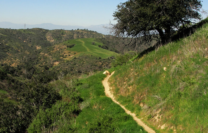
Don't miss the rock-hoppin' opportunities descending Bovinian Delight.
Don't miss the rock-hoppin' opportunities descending Bovinian Delight.
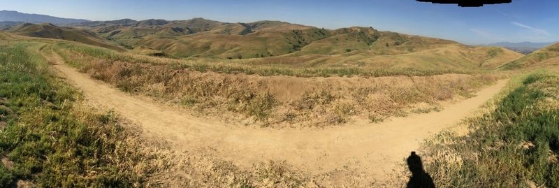
On Bane Ridge Trail before Sidewinder..this is one trail but the panorama mode makes it look this way..left is continuing on Bane Ridge.
On Bane Ridge Trail before Sidewinder..this is one trail but the panorama mode makes it look this way..left is continuing on Bane Ridge.
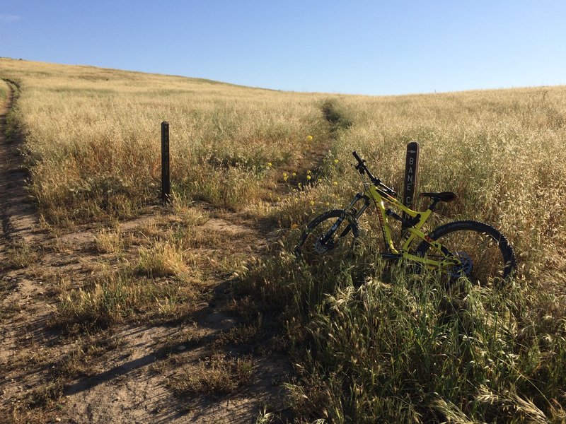
Left trail is Bane Ridge, do not recommend going up here as it is a singletrack and riders are coming down this way. Take the right singletrack, Bane Canyon and ride it up to the water tank and veer left around which will bring you to Bane Ridge..much mor
Left trail is Bane Ridge, do not recommend going up here as it is a singletrack and riders are coming down this way. Take the right singletrack, Bane Canyon and ride it up to the water tank and veer left around which will bring you to Bane Ridge..much mor
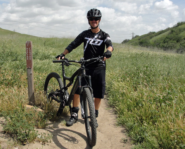
Ready to rock... Raptor on my Ripley.
Ready to rock... Raptor on my Ripley.
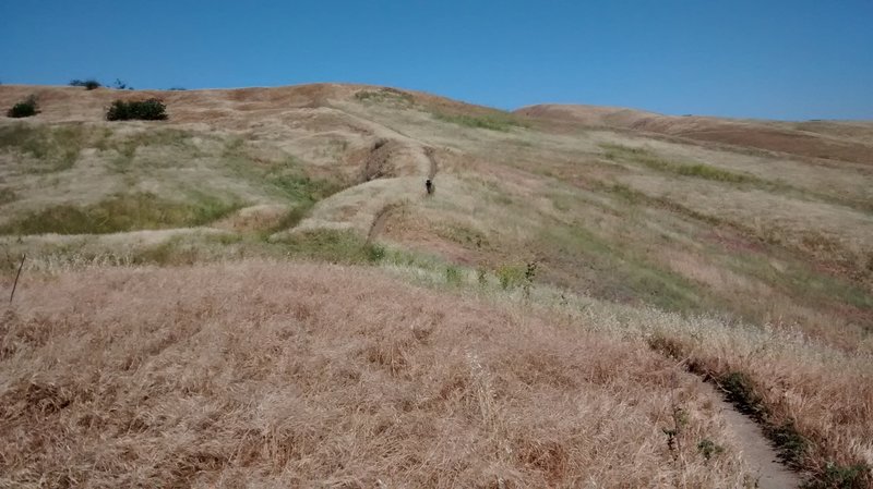
About halfway along the flowy ridge
About halfway along the flowy ridge
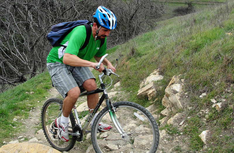
Steve F. attempting the gnarly-bit on my vintage cruiser
Steve F. attempting the gnarly-bit on my vintage cruiser
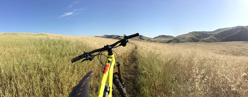
Nice singletrack of the spur connector to Bane Canyon Road..fun!
Nice singletrack of the spur connector to Bane Canyon Road..fun!
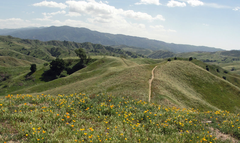
Poppies trail-side, lower Bane ridge trail.
Poppies trail-side, lower Bane ridge trail.
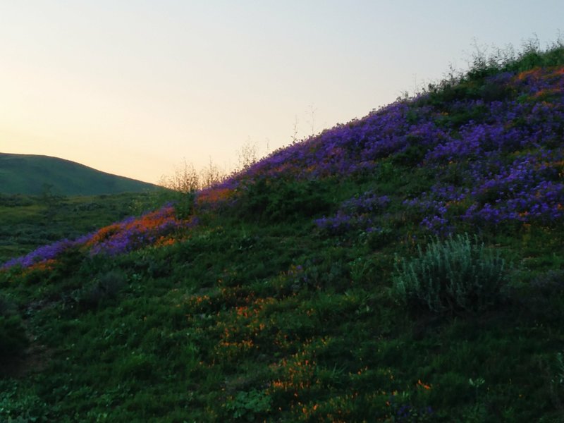
The sun sets over the day's final scene in Chino Hills State Park.
The sun sets over the day's final scene in Chino Hills State Park.
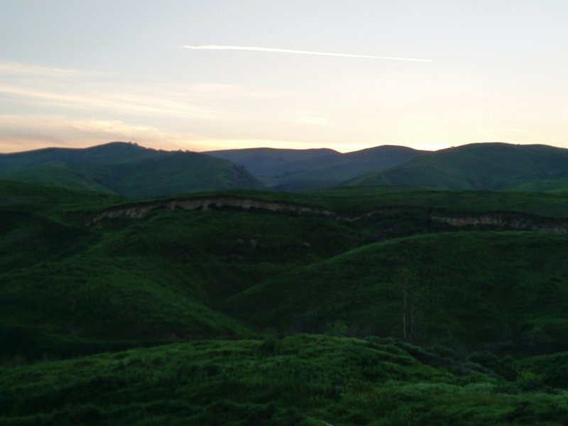
The last glimmer of light streaks across the sky along the South Ridge Trail.
The last glimmer of light streaks across the sky along the South Ridge Trail.
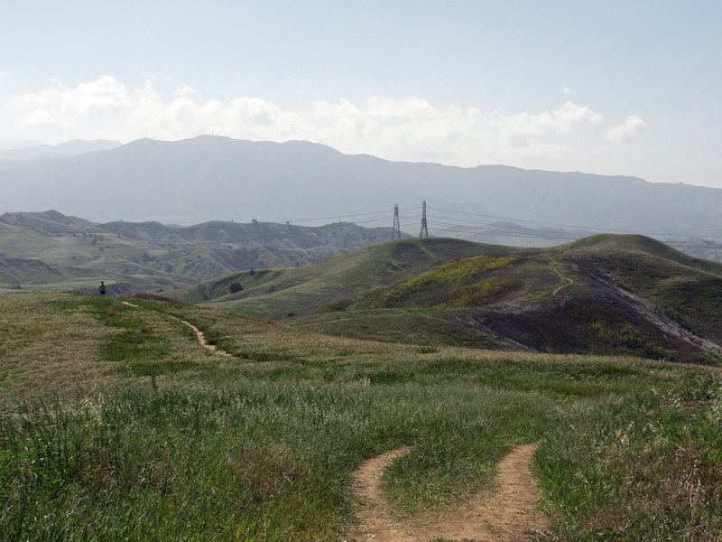
Stay left here, going right will take you down Sidewinder and you'll miss all the fun!
Stay left here, going right will take you down Sidewinder and you'll miss all the fun!
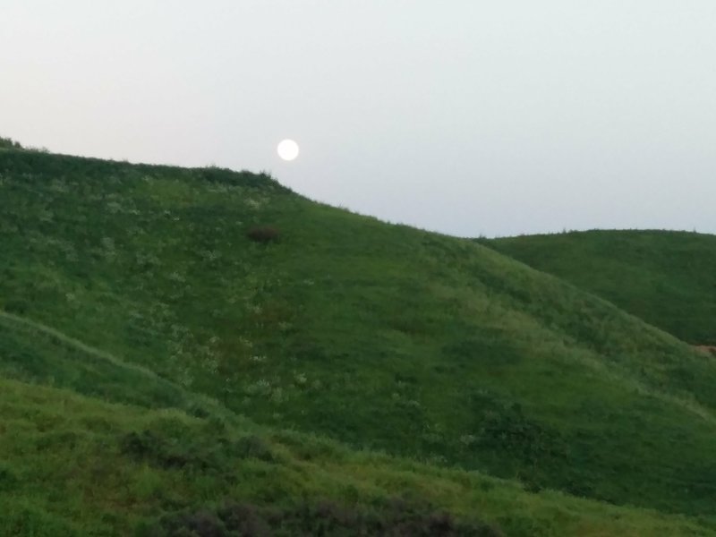
A full moon climbs above the ridgeline along the South Ridge Trail.
A full moon climbs above the ridgeline along the South Ridge Trail.
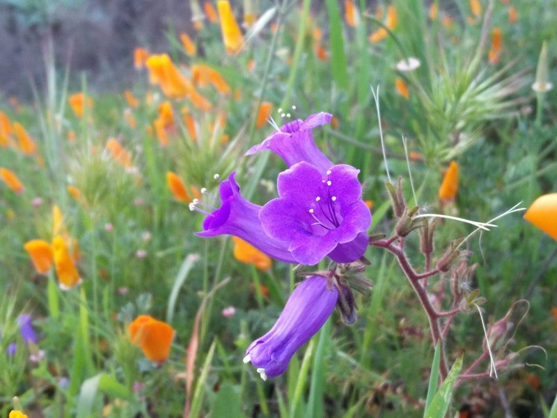
A purple bell blossoms along the South Ridge Trail.
A purple bell blossoms along the South Ridge Trail.
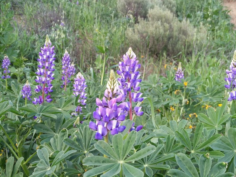
Lupine grow in abundance atop South Ridge.
Lupine grow in abundance atop South Ridge.
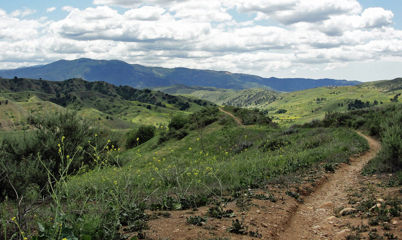
Ripping through the south end of Bane Ridge!
Ripping through the south end of Bane Ridge!
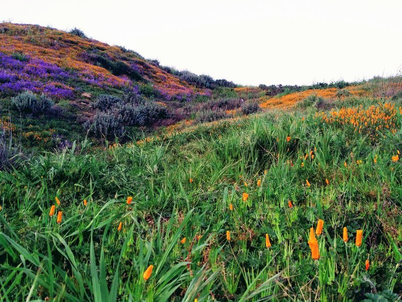
The blooms are finally here! Yet, all the poppy flowers were closed.
The blooms are finally here! Yet, all the poppy flowers were closed.
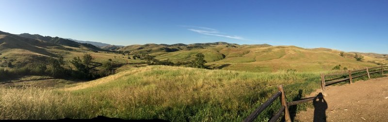
Gorgeous views south into Banie Canyon.
Gorgeous views south into Banie Canyon.

Its a rare day you don't see brother coyote along this route...CHSP version of the Coyote & the Roadrunner.
Its a rare day you don't see brother coyote along this route...CHSP version of the Coyote & the Roadrunner.
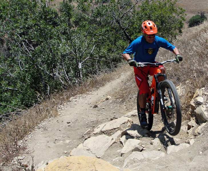
Lui V. 'Rip'–ing Raptor's rock garden!
Lui V. 'Rip'–ing Raptor's rock garden!
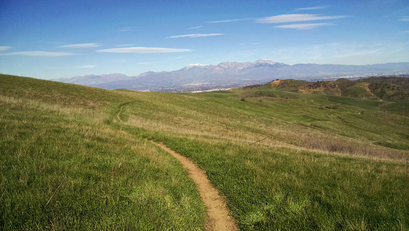
Faultline, baby!
Faultline, baby!