5.6 hr
Overview
From the Angeles Crest Fire Station, head straight back along the driveway and around the locked gate. <br><br>Mt. Lukens Truck Trail #3N27 is a steep, rutted fire and access road that goes all the way to the top of Mt. Lukens. It begins with a quiet series of switchbacks up to where the power lines cross the ridge. The climb has just begun, but the bench here is a great place to stop, catch your breath, and take in the spectacular views of Los Angeles, the Arroyo Seco, and the entire front range of the San Gabriel Mountains. <br><br>If you've ever wondered about the switchbacks on the remote Ken Burton Trail, you can see most of them zig-zagging down the other side of the canyon. The next three miles continue to climb along the ridge, passing the teepee at Bee Flats and the top of the Earl Canyon Mtwy. <br><br>At mile 4.2, the road forks. To the left Lukens Truck Trail continues another three miles to the peak, and if what you just rode wasn't enough climbing for you, it's a nice way to tack on some more miles/elevation. To the right is Grizzly Flat Road, and whether or not you grab the peak you should go down it. The road is bench cut into the steep mountainside wide enough to accommodate vehicles, but the trail itself quickly narrows to a snaking singletrack. <br><br>Enjoy two miles of flowing, fast trail, but ride with care. As close as this loop is to the city (and the highway below), it is not well-traveled and can suffer from overgrowth, downed trees, and rock slides. Several points offer spectacular views down into the Arroyo Seco and even down the backside of Lukens into Big Tujunga towards the end. <br><br>Grizzly Flat Road eventually intersects with Hoyt Mountain Road and the Plantation Rd/Dark Canyon Tr. Below this intersection and to the left, Grizzly Flat Road is likely bush-whacking all the way down to Big T. To the right, Dark Canyon Tr. is a fast and loose singletrack descent back to the asphalt of Angeles Crest. And straight ahead keeps you on this particular loop by putting you on the gentle c
Trail Stats
18.3 km
598 m
1233 m
695 m
—
Photos
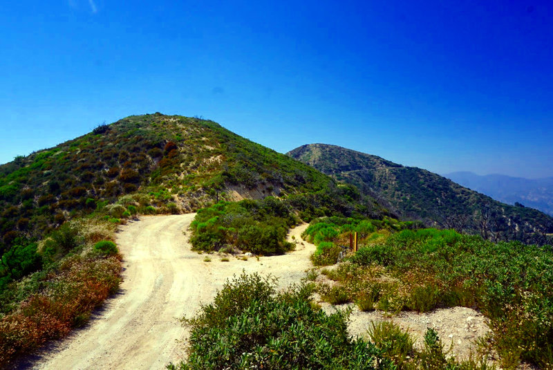
Saddle at the top of Grizzly Flats Road. Lukens Truck Trail continues its climb to the peak on the left.
Saddle at the top of Grizzly Flats Road. Lukens Truck Trail continues its climb to the peak on the left.
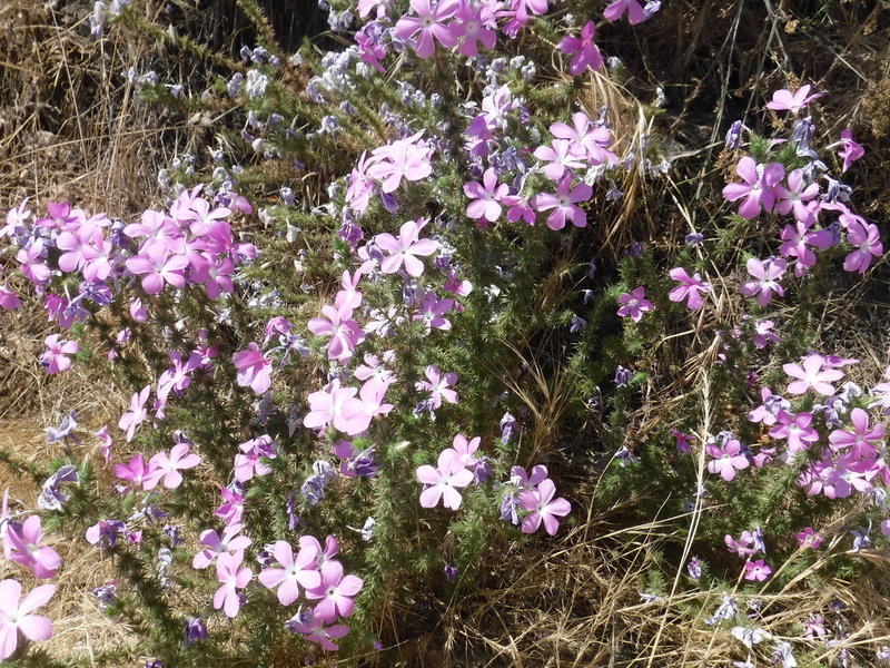
Wildflowers halfway up the climb.
Wildflowers halfway up the climb.
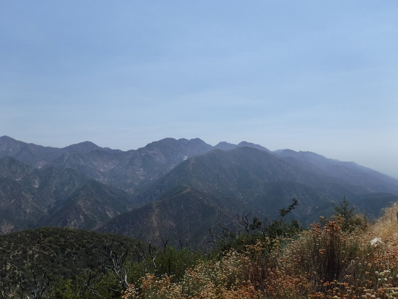
View to the east during the climb.
View to the east during the climb.
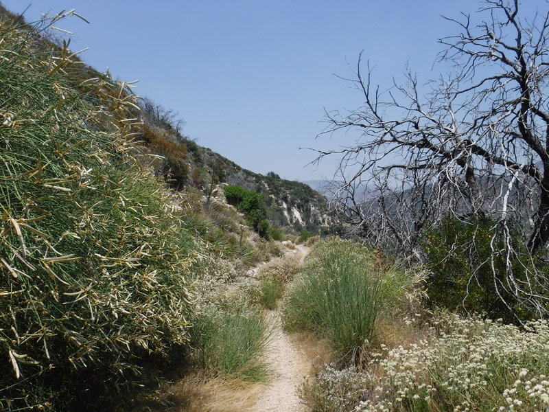
Most of Grizzly Flat Road is in fact gentle, nontechnical singletrack. Maps say the steep Dark Canyon Trail branches off of it near the bottom, but I couldn't locate it.
Most of Grizzly Flat Road is in fact gentle, nontechnical singletrack. Maps say the steep Dark Canyon Trail branches off of it near the bottom, but I couldn't locate it.
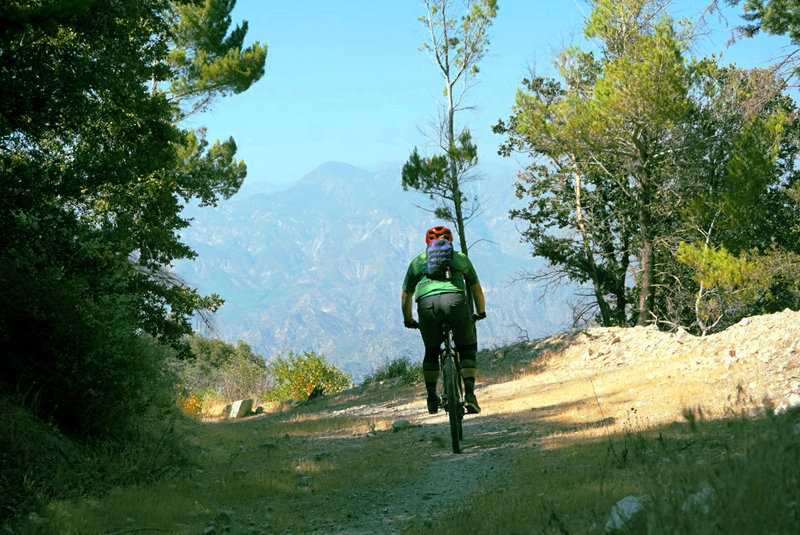
A wide section of Grizzly Flats gives leave to enjoy the vastness of the Angeles National Forest.
A wide section of Grizzly Flats gives leave to enjoy the vastness of the Angeles National Forest.