8.2 hr
Overview
Park along Santiago Canyon Rd, and ride up a short, but steep, paved road called Modjeska Grade Road. At the top, at roughly 0.5 miles, you'll find the pipe gate that leads you to Santiago Truck Trail - you can't miss it, on the right.<br><br>Head up Santiago Truck Trail and prepare yourself for some steady climbing. While this trail has "Truck" in the name, it is really more a mix of double and singletrack, thanks to years of vehicle closure and not being maintained as a fire road.<br><br>Roughly 4 miles into the ride, you'll come to a semi-technical downhill section that is a mix of large rocks, ruts, and loose smaller rocks (pretty much a common theme in the ride from this point on). At the end of this relatively short downhill section is where the locally-famous American flag sits, which marks The Luge trailhead. At this point, keep left to continue on Santiago Truck Trail.<br><br>Continue for another few miles through some fairly steep climbs and rocky sections, and you'll come to a sharp steep switchback turn that bends left and climbs its way, curving right. Stop at the top of this section (just before the trail turns hard right), let your 180+ bpm settle and look west to take in the view of Orange County and the flag you once passed, which now seems far away.<br><br>Continue for a few more miles, and you'll see a fire road on the right. This is Joplin Truck Trail. Keep straight (left) and continue on Santiago Truck Trail (note, some maps identify this remaining section to be a continuation of Joplin Truck Trail, not Santiago Truck Trail).<br><br>You've now come to the most challenging section of the ride, as the trail works its way through steep, loose, rocky sections that will force a rider to sprint out of the saddle multiple times to avoid putting a foot down or stopping. You'll hit your max heart rate many times from this point until you drop down into Old Camp, which seems much farther than it actually is.<br><br>Once you feel like you've had enough of steep, loose technical climbing, you'll pop out
Trail Stats
27.8 km
762 m
961 m
426 m
—
Photos
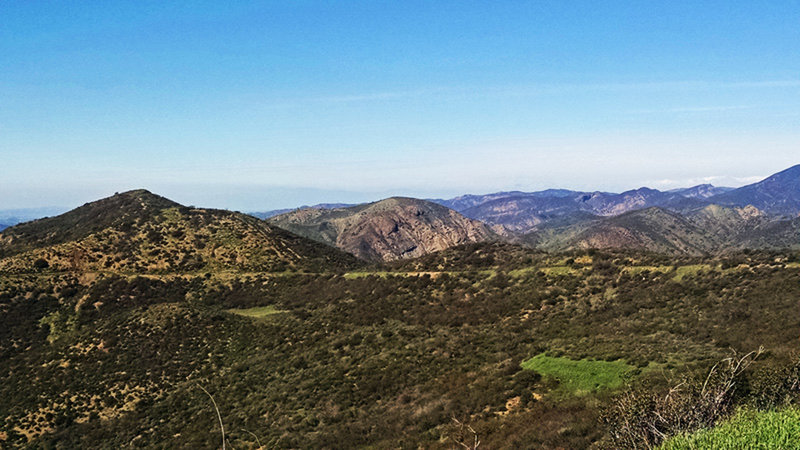
Climbing o'plenty!
Climbing o'plenty!
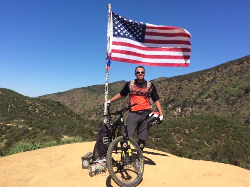
Out riding The Luge on a demo day!
Out riding The Luge on a demo day!
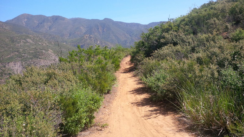
View of Santiago Truck Trail (looking east) with Santiago Peak (trademark antennas) in the background.
View of Santiago Truck Trail (looking east) with Santiago Peak (trademark antennas) in the background.
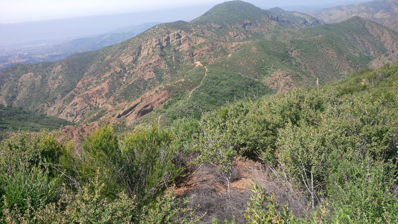
View from Santiago Truck Trail (looking west) of The Luge trailhead, with Orange County in the background.
View from Santiago Truck Trail (looking west) of The Luge trailhead, with Orange County in the background.
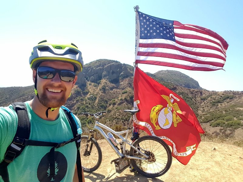
Cool overlook with a flag at roughly the halfway point.
Cool overlook with a flag at roughly the halfway point.
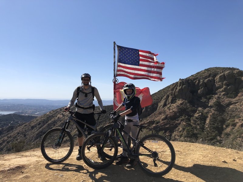
First time on the Luge was a great ride.
First time on the Luge was a great ride.
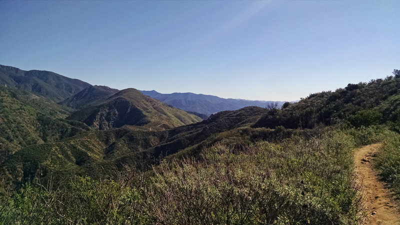
Classic Chaparral Singletrack.
Classic Chaparral Singletrack.
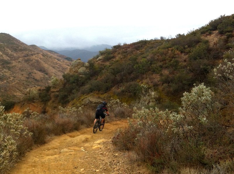
A short but welcome down after a lot of climbing
A short but welcome down after a lot of climbing
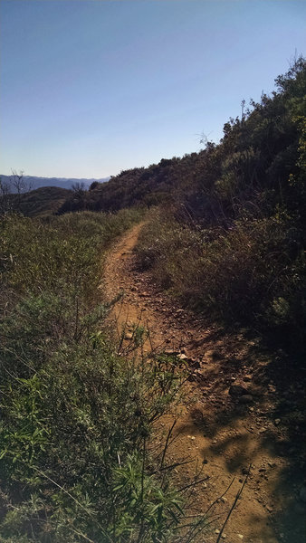
Santiago Truck Trail.
Santiago Truck Trail.
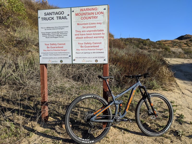
Entrance after a grueling uphill Modjeska Grade Rd.
Entrance after a grueling uphill Modjeska Grade Rd.
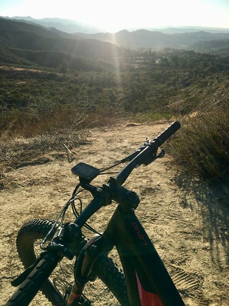
Looking down the beginning of the Luge climb
Looking down the beginning of the Luge climb
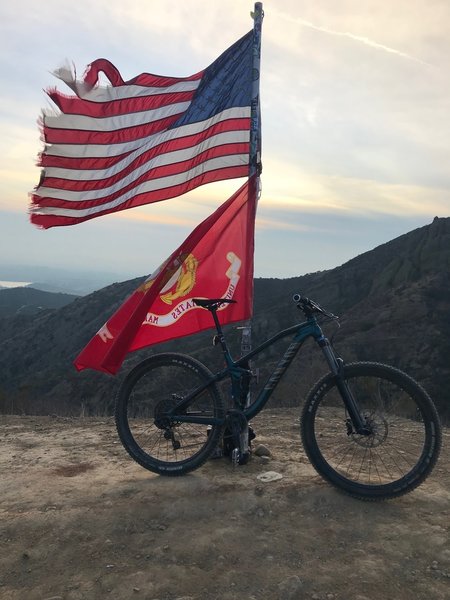
Top
Top
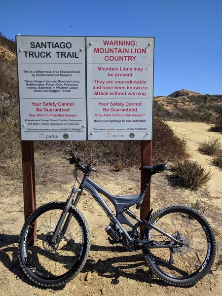
Santiago Truck Trail Entrance - start of the Luge loop
Santiago Truck Trail Entrance - start of the Luge loop
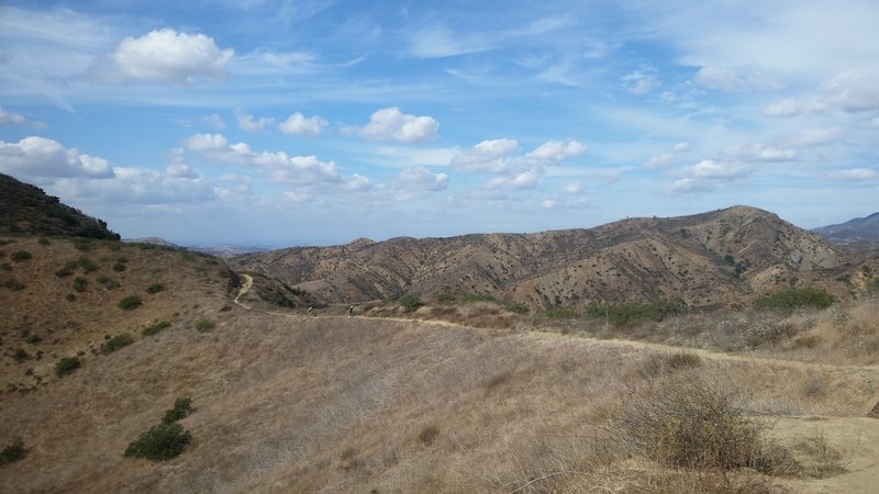
Santiago Truck Trail
Santiago Truck Trail
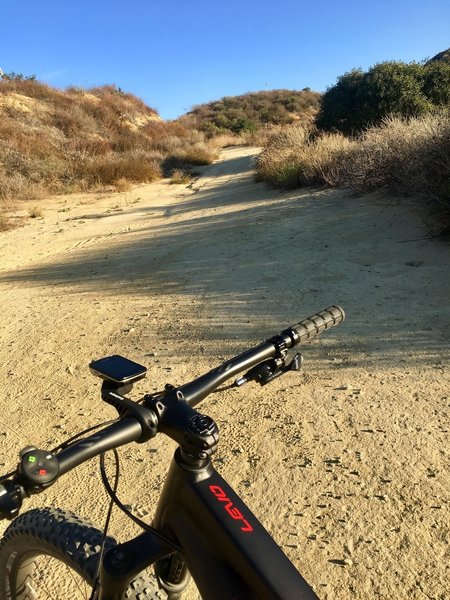
Starting up the dirt on the Luge
Starting up the dirt on the Luge
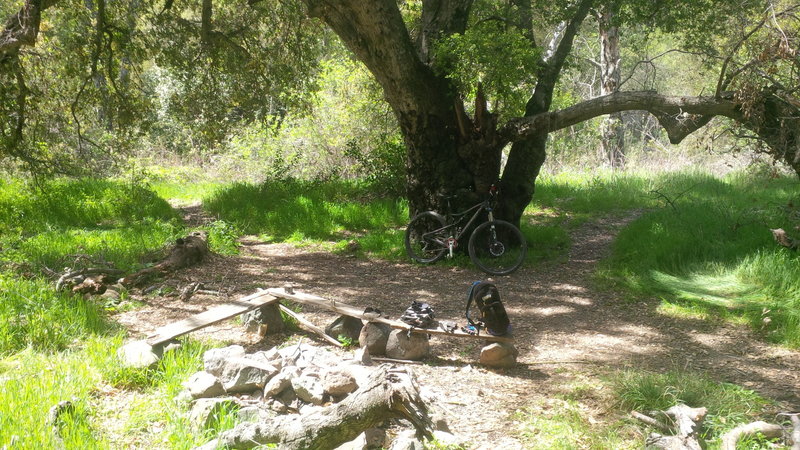
View of historical Old Camp.
View of historical Old Camp.
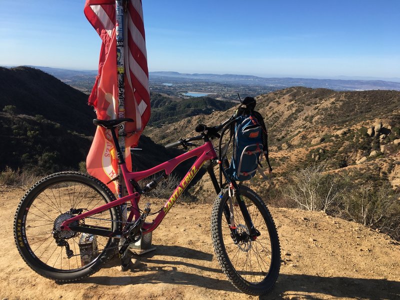
Election Day at the Flags!
Election Day at the Flags!
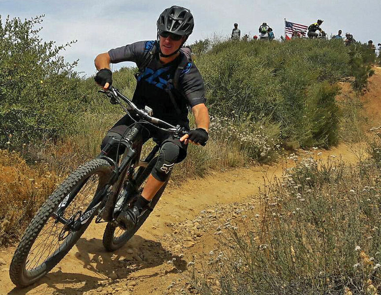
Dropping into 'The Luge'.
Dropping into 'The Luge'.
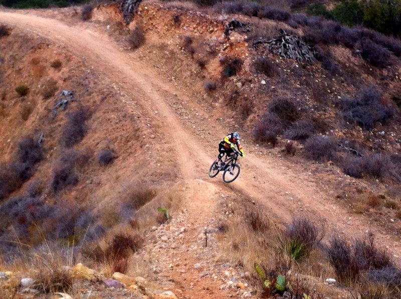
Off the wall
Off the wall
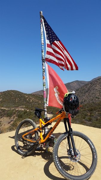
Top of the Luge taking a breather and getting the GoPro ready for the fun ride down
Top of the Luge taking a breather and getting the GoPro ready for the fun ride down
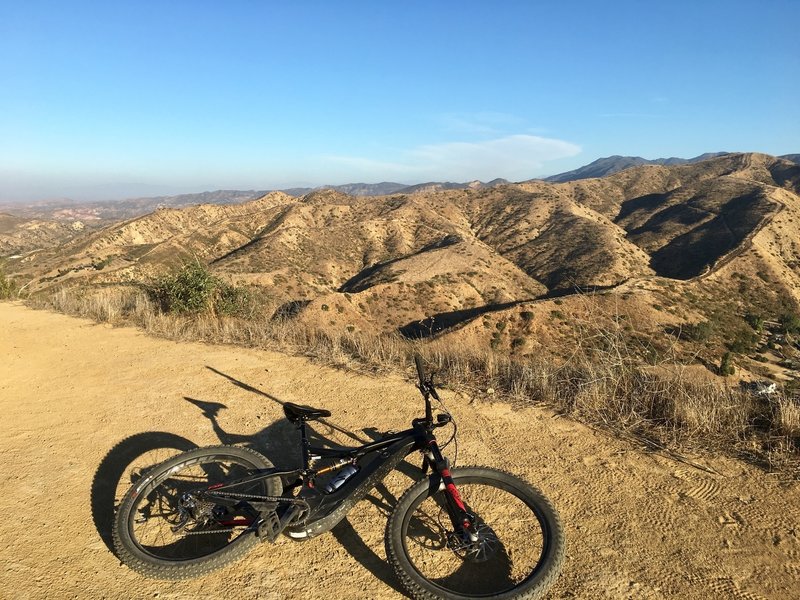
Looking southeast during the way up.
Looking southeast during the way up.
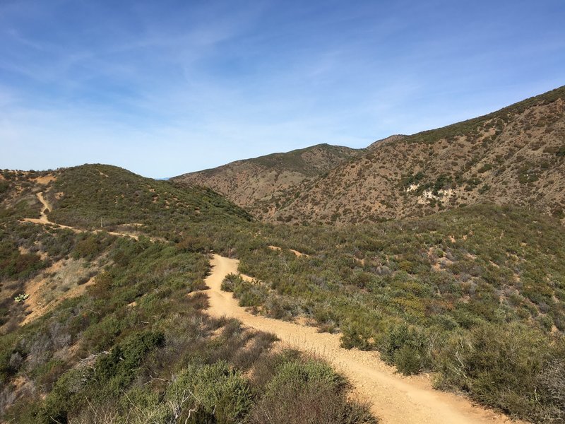
Amazing ride
Amazing ride
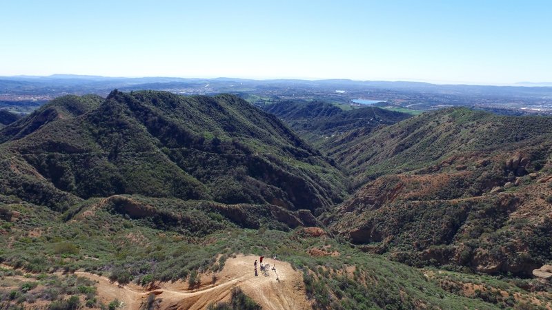
The scenery from The Luge Trail. Photo by DPCAero.com
The scenery from The Luge Trail. Photo by DPCAero.com
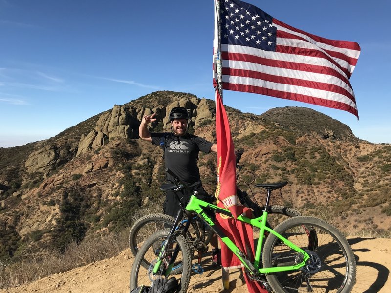
My first time riding ‘The Luge’ cautiously.
My first time riding ‘The Luge’ cautiously.
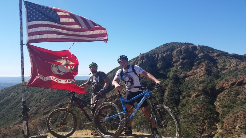
If you made it to the Flag pole - you made it half way! Now watch out for speed on the descent and some obstacles on the descent - be careful they come up fast! Better safe then sorry!
If you made it to the Flag pole - you made it half way! Now watch out for speed on the descent and some obstacles on the descent - be careful they come up fast! Better safe then sorry!
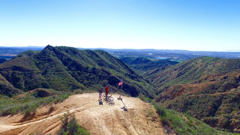
Flag pole on the top of the Luge. Photo by DPCAero.com
Flag pole on the top of the Luge. Photo by DPCAero.com