7.4 hr
Overview
For a description of the trail, read this: Blackstar Canyon Rd.<br><br>Near the crest, there is a closed, swinging gate with an opening for hikers/bikers to pass through. Just beyond this gate is the intersection with Main Divide Rd - Blackstar to Maple Springs. Turn right, and look for Beeks Place in the clearing on the right. Deep in shade, the old cabin foundations are surrounded by tall pine trees, planted originally by the Beek family decades ago, and provide an ideal place for a long break and pictures.<br><br>Continue up Main Divide and climb a short, but very steep section to the dopler radar dome for more pics.<br><br>For an easy downhill ride back to the car, just follow the same dirt road back down. If you want to explore a few no-name singletracks, read on...<br><br>From the dome, there is a short singletrack from the back of the clearing. It's super short, but better than a fire road. Look for the second one on the right at the swinging gate. This one is a little longer, loose and intermediate level technical. The third one is on the left a few hundred yards after rejoining the fire road. It's very easy to zoom right past, so slow down and look for a mile marker-type road sign on the left that's bent at an odd angle. The trail starts right after that sign. This one is a thin slice down loose, steep, grass-covered hills. There are a few more small ones, but I'll let you find those.<br><br>Have fun!
Trail Stats
24.7 km
712 m
914 m
263 m
—
Photos
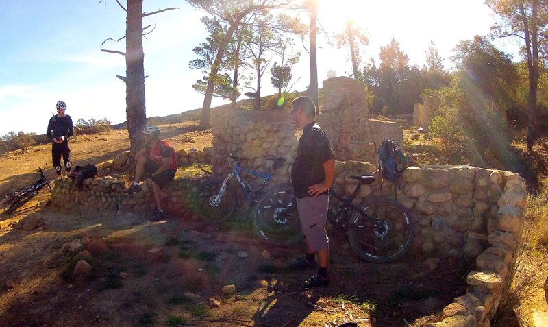
Taking a break at Beeks Place.
Taking a break at Beeks Place.
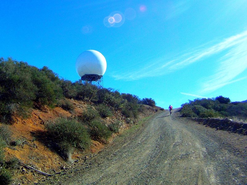
Almost there! The last, steep slope up to the dome.
Almost there! The last, steep slope up to the dome.
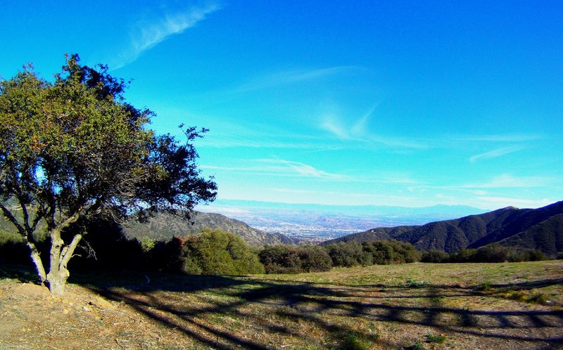
Looking east from the dome over Riverside County.
Looking east from the dome over Riverside County.
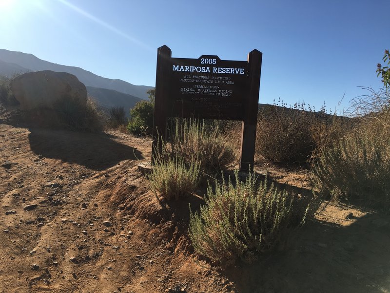
Mountain lion territory
Mountain lion territory

Radar Doppler
Radar Doppler
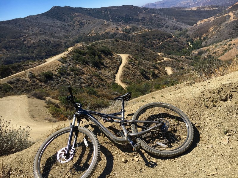
Winding up the Black Star Canyon Trail.
Winding up the Black Star Canyon Trail.
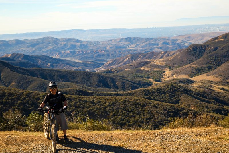
Looking west over Orange County from the dome.
Looking west over Orange County from the dome.
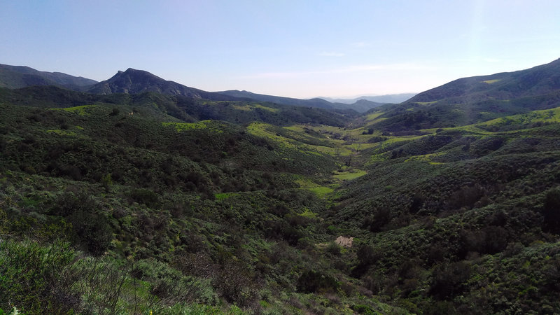
This is a view of the historical indian village meadows.
This is a view of the historical indian village meadows.
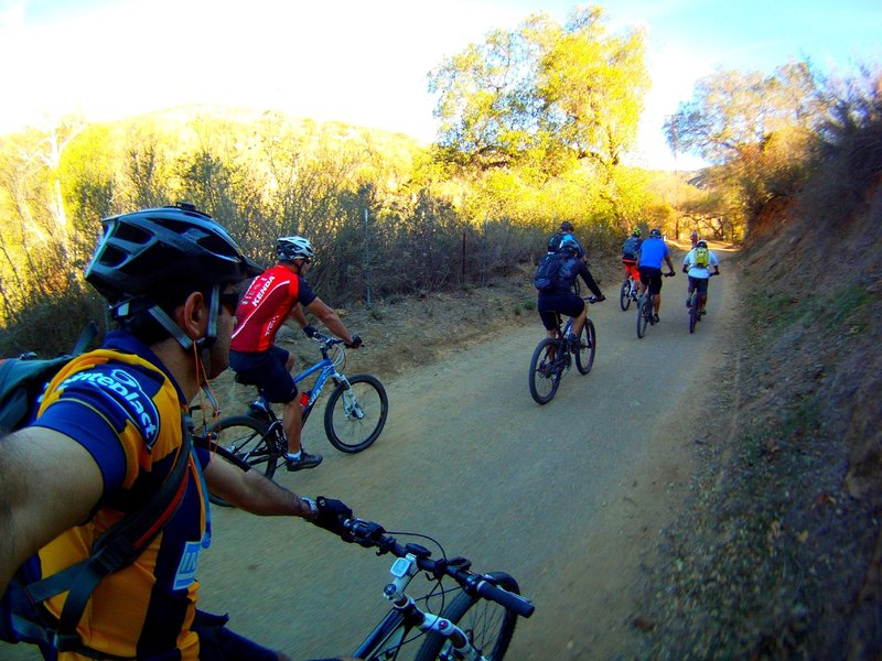
Just getting warmed up.
Just getting warmed up.
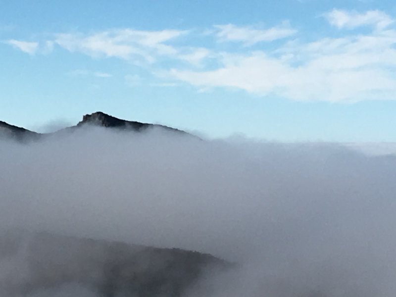
Over the clouds
Over the clouds
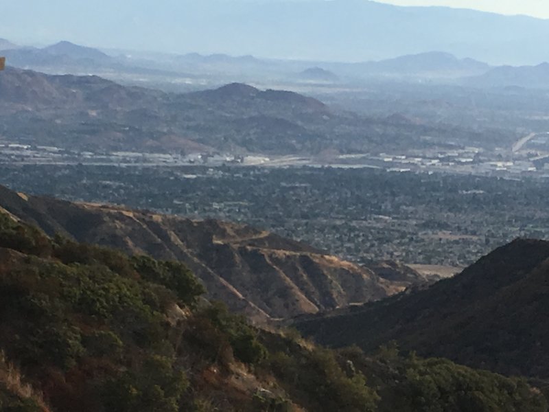
Corona
Corona
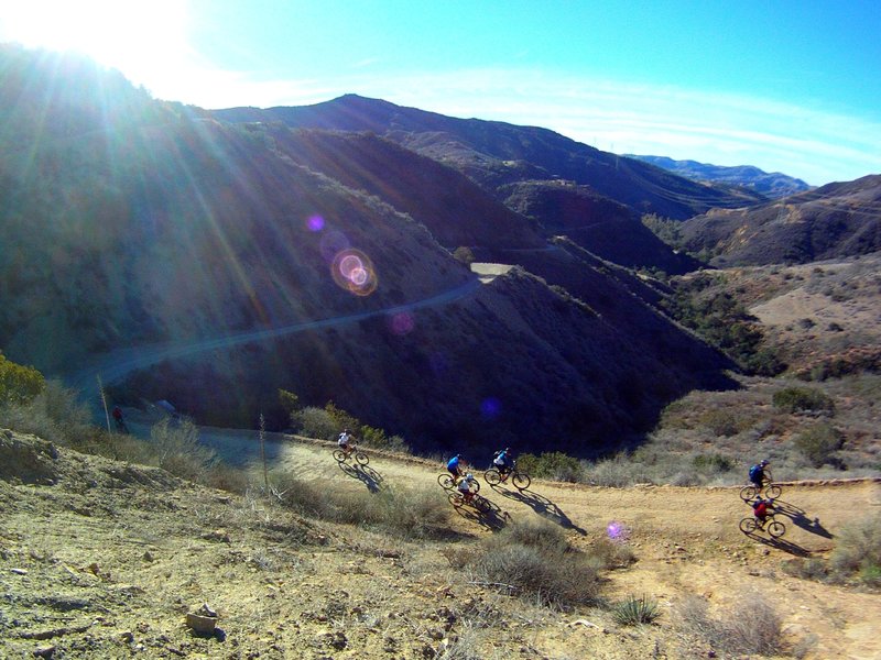
Looking down from a big, wide switchback in the heart of the climb.
Looking down from a big, wide switchback in the heart of the climb.
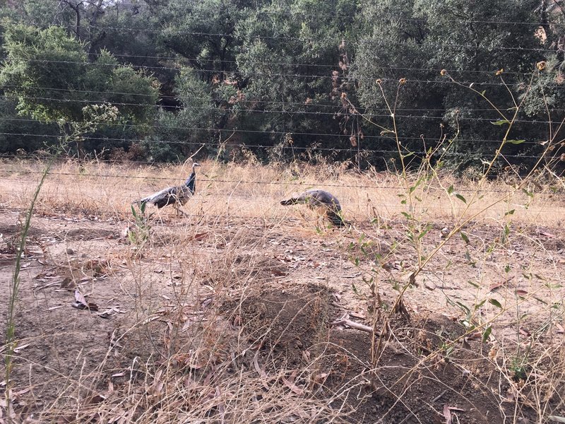
Peacocks
Peacocks