3.5 hr
Overview
Once you enter Lopez Lake stay on Lopez Dr. all the way to the end where there is parking on the left, park there and start your ride on the dirt/gravel road to Camp French. Once you've reached Camp French, take the trail back towards the lake (Duna Vista Loop) following the signs.<br><br>About a mile into the hard packed dirt you'll encounter some rocks and roots, you'll come to a Y in the trail. You are now at the bottom of the Duna Vista Loop, which is normally taken clockwise, so stay to the left and keep going. The trail is singletrack from here on out and it follows the lake edge, depending on water level. This is a nice easy ride with some small hills and a few rocky turns. After these smaller bumps there's a big climb to the top. It's up to you whether you ride or hike to the top as it gets very steep. Watch your step as the trail is narrow with some loose rocks and small ruts. Given your direction of travel, the mountain will be on your right and cliff on your left. There are trees that provide shade along the way. so use them for your rest spots.<br><br>Once you reach the top you can choose to take the Duna Vista Spur trail to your left. This is an excellent MTB trail, with narrow singletrack, good flow, and it's not too steep. There's a viewpoint at the end of the dam and beyond to the dunes. Enjoy the view for a while, then return to Duna Vista Loop.<br><br>Once back on Duna Vista Loop, within the first 50-yards, there is a small trail to the left leads up a short but steep hill, leave your bike on the main trail and hike it. The views at the top are to die for!<br><br>Once you catch your breath, head back on the trail and enjoy the views as you ride the ridge. Enjoy the fast-paced downhill but be careful, there are switchbacks with tight tricky turns. Every turn has its own challenges, from rocks, roots, trees, or all of the above. It only takes a few minutes to get back down to where the "Y" in the trail is, after the fast descent, ride back on the trail you rode in on back to where you parked. th
Trail Stats
12.2 km
296 m
351 m
157 m
—
Photos
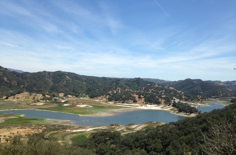
Climbing the up hill section of Duna Vista Loop looking over the lake. The main marina is to the far right, can just see the boat docks, and the to left is Mustang Water Park's parking lot and a little further left is the zip lining area.
Climbing the up hill section of Duna Vista Loop looking over the lake. The main marina is to the far right, can just see the boat docks, and the to left is Mustang Water Park's parking lot and a little further left is the zip lining area.
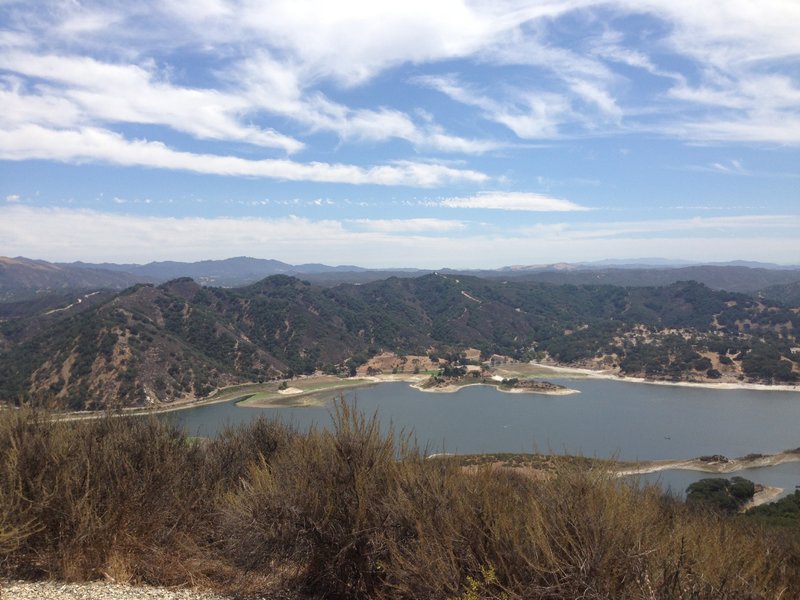
View east from Duna Vista
View east from Duna Vista
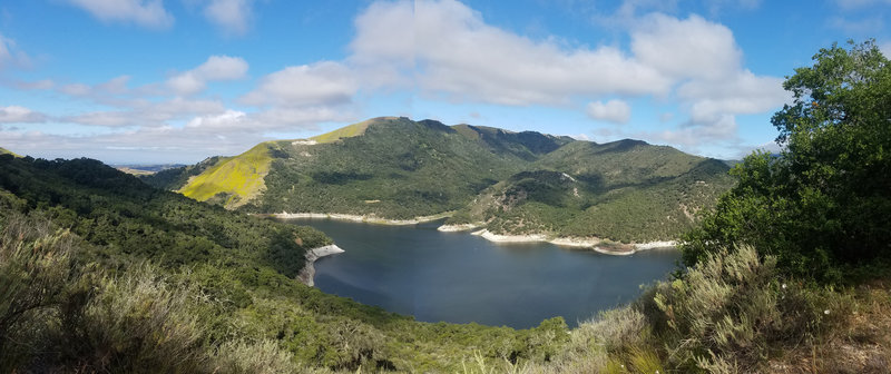
Looking out to the west
Looking out to the west
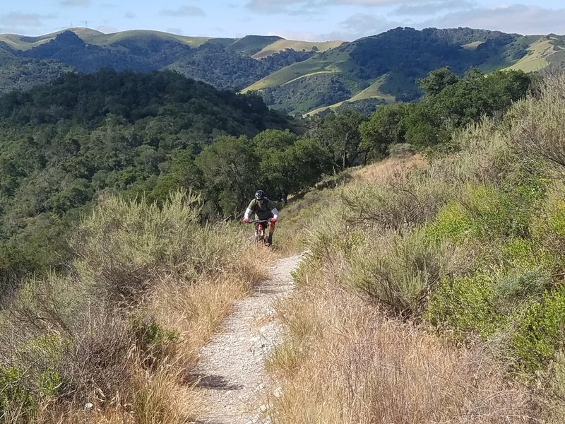
Friend riding up the trail to the high point of the Duna Vista Loop
Friend riding up the trail to the high point of the Duna Vista Loop
Looking south from beginning of Duna Vista Loop
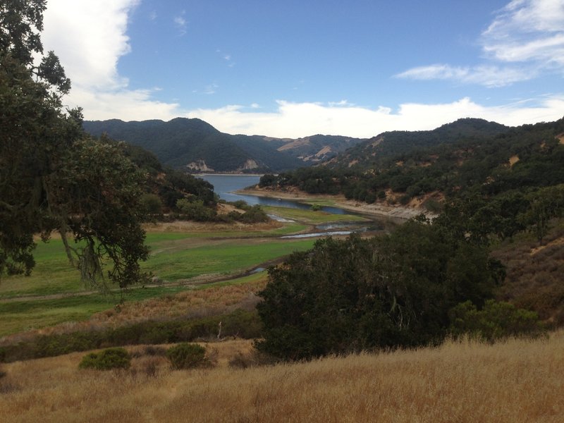
Looking south from beginning of Duna Vista Loop
Good view of the other side of the lake and down on a remote boat dock
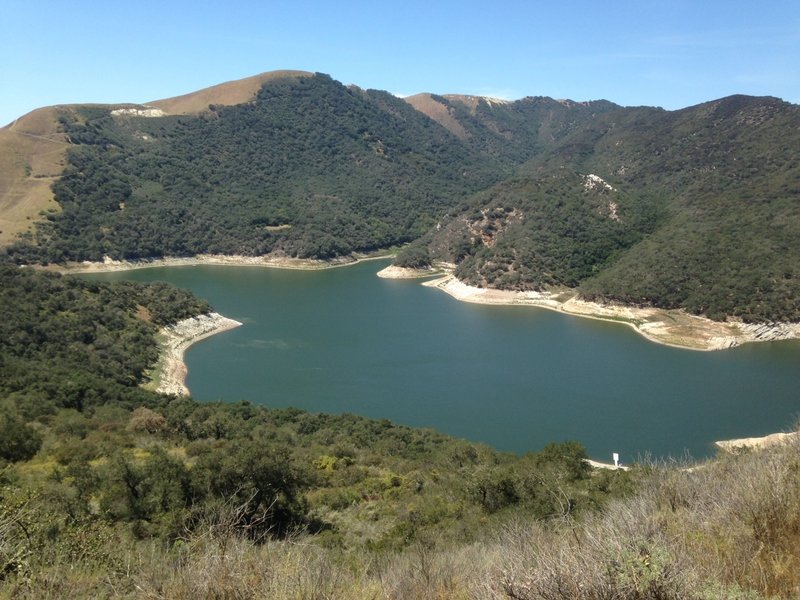
Good view of the other side of the lake and down on a remote boat dock