11.7 hr
Overview
The easiest way UP Santiago is Maple Springs Rd, which starts in Silverado Canyon. However, the best way DOWN Santiago is Holy Jim Canyon.<br><br>Everyone meet in the dirt lot where Trabuco Canyon Rd crosses Trabuco Creek. Oneill Park lies immediately west and south of the area. Leave half of the vehicles there and the rest will shuttle everyone to Silverado Canyon. Take Trabuco Canyon Rd/Live Oak Canyon Rd 3.3 miles west and north, then turn right at Cook's Corner onto Santiago Canyon Rd. Drive 5.8 miles and turn right on Silverado canyon Rd. Stay right and drive another 5.6 miles to a ranger station with a few parking spots (you'll need a $5 Daily Pass from the National Forest service). Otherwise, there may be legal parking along the road approaching the station, although I've never tried looking.<br><br>The climb to the peak, although technically easy, is steep and unrelenting. Start up Maple Springs Rd (paved section) and within half a mile you'll be pulling a steady 7%, working up a good sweat. The first three miles cut through a beautiful green, shaded valley. The next 4.5 miles on Maple Springs Rd (dirt section) are just as steep, but they cut up the sides of the mountain, have much less tree shade, and are wide, fire road. Except for an occasional rock or boulder to steer around, the footing is clear and easy.<br><br>At the 7.5 mile mark, after a wide left switchback, there will be a clearing surrounded by low, rusted metal-tube fencing. This is called Four Corners... original, I know. Uphill and to the left through this clearing is the way to Main Divide Rd (do not go downhill to the right... bad). After the short climb look for a swinging gate on the right and ride around it, this is Main Divide Rd - Maple Springs to Santiago Peak.<br><br>From the gate to the peak is 4.6 miles of wide fire road. However, a large portion of this stretch is covered by loose, fist-sized rocks that almost never allow a clean line through them. You'll spin your wheels on them, you'll worry about the way they claw and poke a
Trail Stats
38.7 km
1202 m
1720 m
307 m
—
Photos
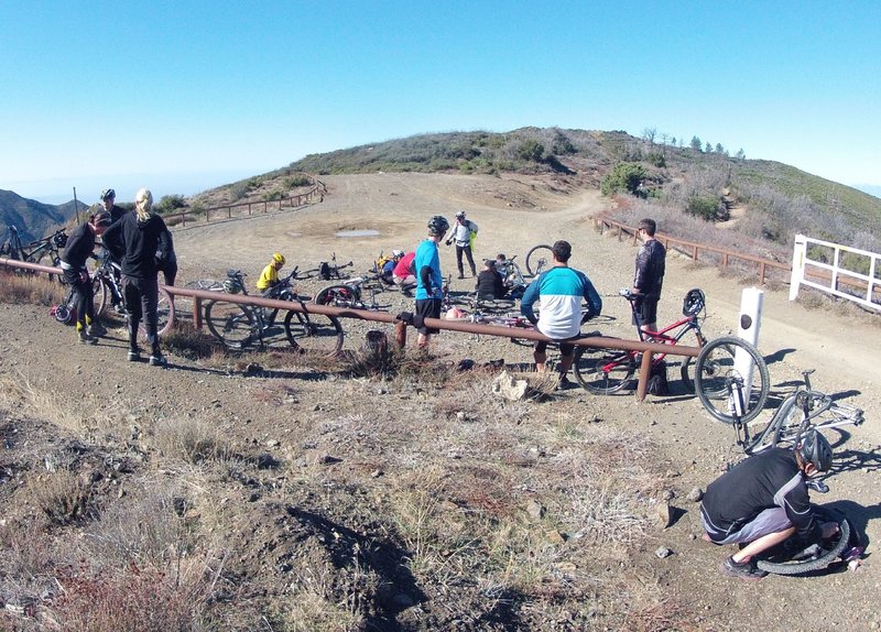
Four Corners, looking west.
Four Corners, looking west.
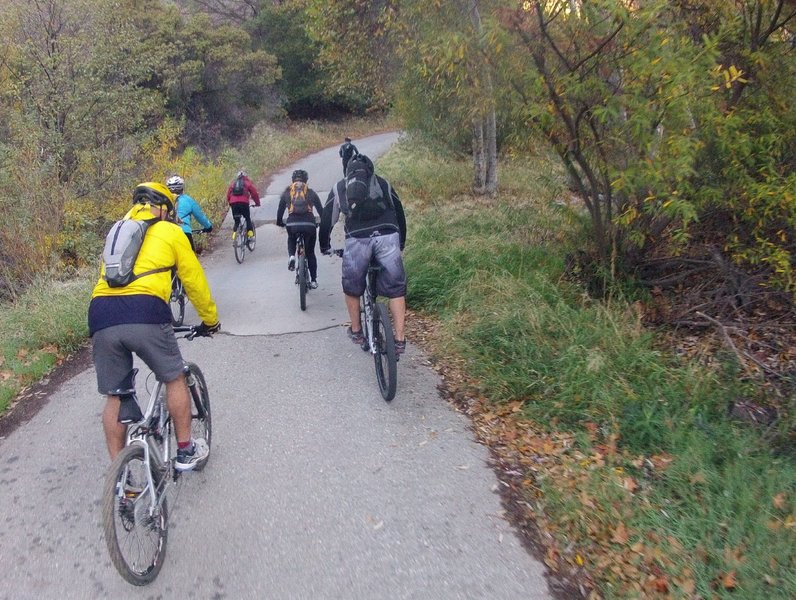
Near the beginning of the trail, in one of only a few flat spots before the climbing starts, appreciate the forests beauty.
Near the beginning of the trail, in one of only a few flat spots before the climbing starts, appreciate the forests beauty.
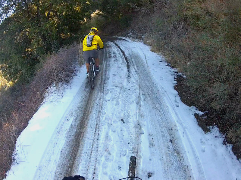
Crunch, crunch. Careful now. Don't brake too hard.
Crunch, crunch. Careful now. Don't brake too hard.
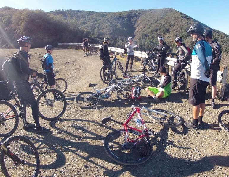
Time to take a break at one of the best view spots of the ride.
Time to take a break at one of the best view spots of the ride.
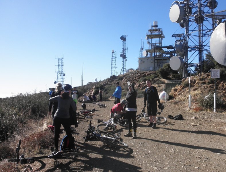
You made it! The top of Santiago Peak. Take a few pics, eat a little food, and get ready to go because you have a long ride back down to the car!
You made it! The top of Santiago Peak. Take a few pics, eat a little food, and get ready to go because you have a long ride back down to the car!
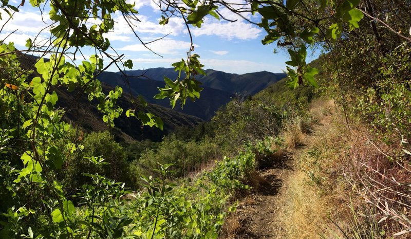
When you can take your eyes off the trail, Lower HJ has fantastic views that will have you forgetting you're not far from civilization.
When you can take your eyes off the trail, Lower HJ has fantastic views that will have you forgetting you're not far from civilization.
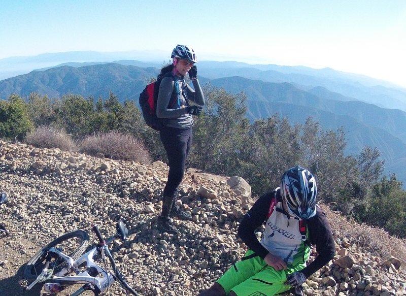
One short break before the final push to the top. Take a look around. You're so high on the pean now that sight lines open up to both sides of the mountain. You're almost there!
One short break before the final push to the top. Take a look around. You're so high on the pean now that sight lines open up to both sides of the mountain. You're almost there!
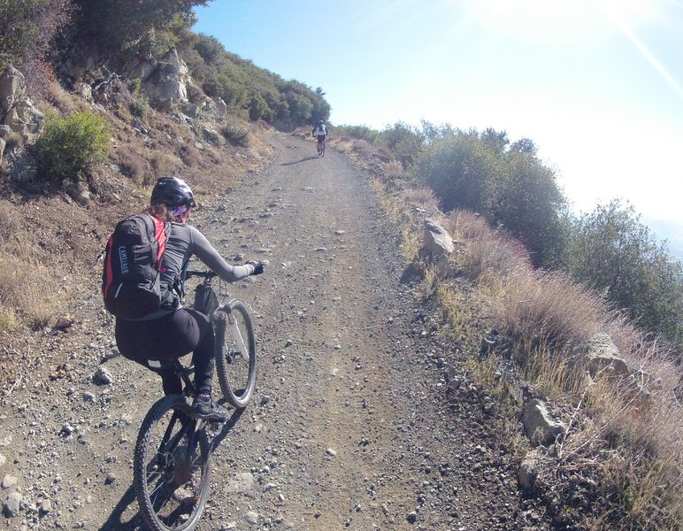
Just around the bend from the snow and ice the sun is shining fiercely, but now it's time to put on your climbing pants again because it won't stop until you reach the top!
Just around the bend from the snow and ice the sun is shining fiercely, but now it's time to put on your climbing pants again because it won't stop until you reach the top!
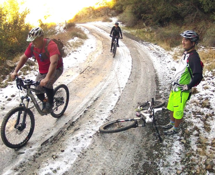
Watch out! Deep in a permanently shaded corner the snow and ice will linger for days, even in Southern California.
Watch out! Deep in a permanently shaded corner the snow and ice will linger for days, even in Southern California.
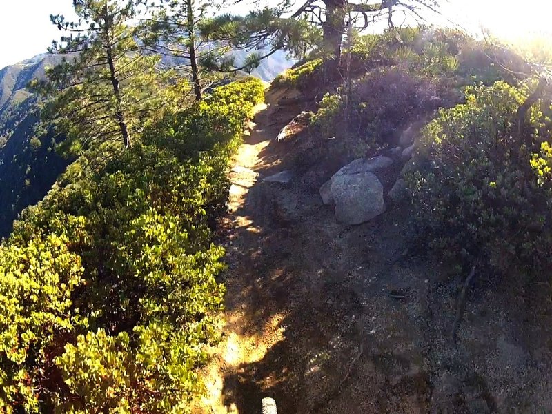
Feels like you're on top of the world.
Feels like you're on top of the world.
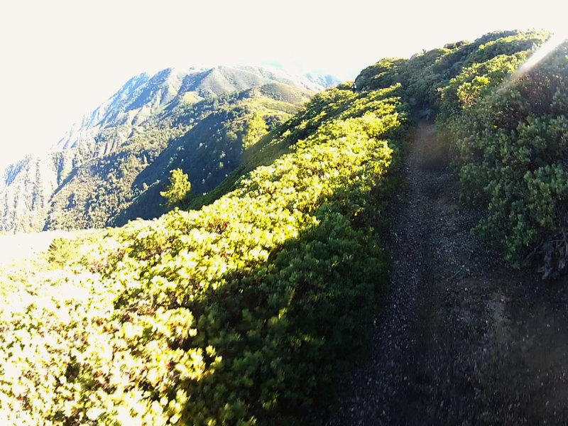
Unbelievable view after coming out of a tree tunnel.
Unbelievable view after coming out of a tree tunnel.
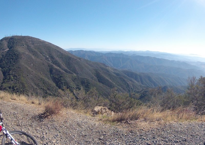
Standing just below Modjeska Peak looking south and east across the meat of the Santa Ana Mountains towards San Diego is Santiago Peak, the highest peak in the Santa Ana's on the far left.
Standing just below Modjeska Peak looking south and east across the meat of the Santa Ana Mountains towards San Diego is Santiago Peak, the highest peak in the Santa Ana's on the far left.
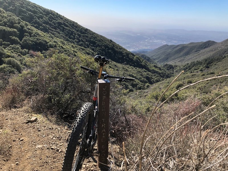
Enough of going up, time to go down!
Enough of going up, time to go down!
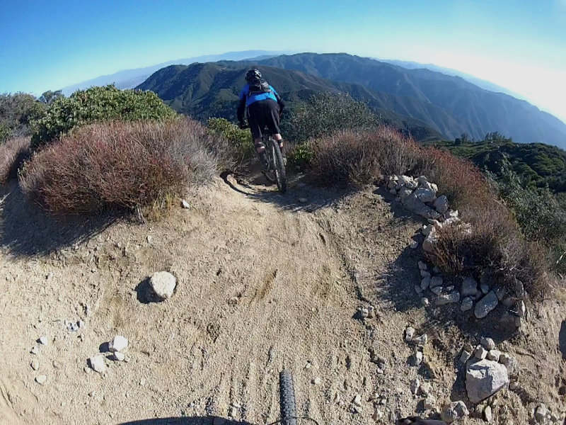
Hold on! This is the start of a crazy drop into a trail you'll want to come back to over and over again.
Hold on! This is the start of a crazy drop into a trail you'll want to come back to over and over again.
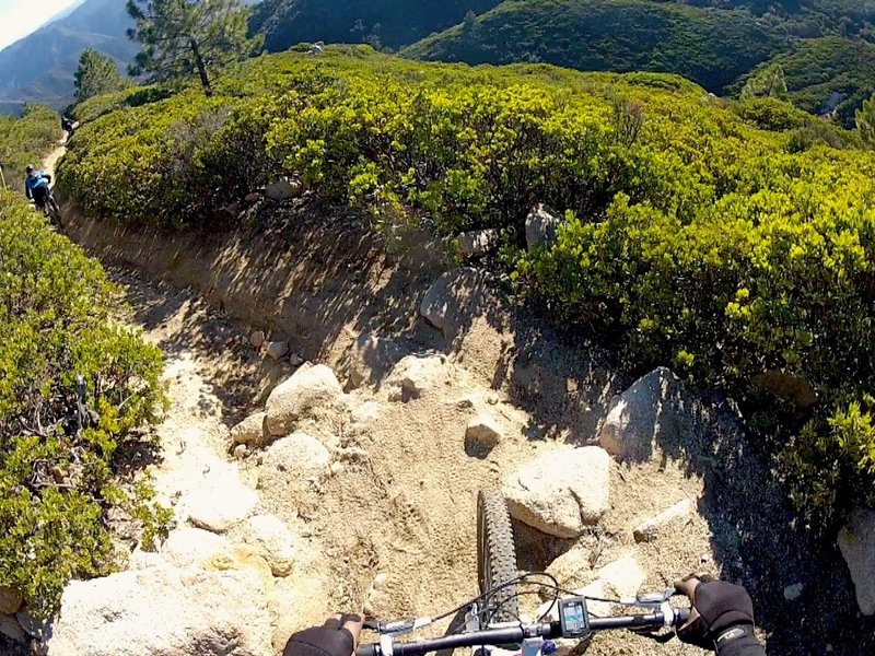
The first of many drops on loose rocks.
The first of many drops on loose rocks.
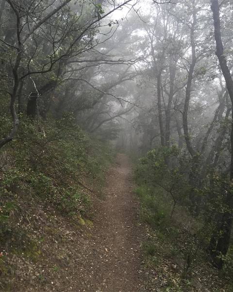
Heading up Holy Jim with some drizzle and heavy fog to cool me down!
Heading up Holy Jim with some drizzle and heavy fog to cool me down!
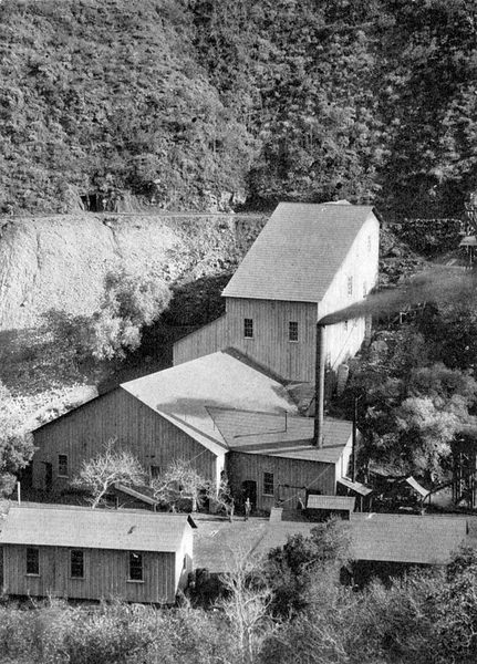
Santa Ana Tin Mine, Trabuco Canyon, April 1903
Santa Ana Tin Mine, Trabuco Canyon, April 1903