7.3 hr
Overview
Park at Charlton Flats picnic area then cross HWY 2 and climb Mt. Mooney Rd, a winding fire road with old burnt trees all around. Descend Mt. Mooney Rd while viewing the thick forested part of Angeles that didn't burn in the 2009 Station Fire and turn right onto HWY 2, stay alert for fast cars and motorcycles. Take the first left into campground area (paved) and take a right onto Silver Moccasin Trail, a winding, heavily forested singletrack across from the first campground).<br><br>Exit Silver Moccasin and turn left onto the pavement and follow the pavement down to first right into Chilao (there are homes, a school, and fire dept). Follow the paved road straight as it deteriorates into fire road 3N14. Follow 3N14 for a few miles as it slowly climbs while enjoying epic views of Mt. Pacifico and surrounding peaks. Turn right and climb paved Santa Clara Divide Rd/Pacifico Mountain Rd.<br><br>At the top, turn right and climb singletrack Mt. Hillyer Trail. This is the only tough climbing on the loop. After the climb be sure to relax at the outcropping of rocks near the top of Mt. Hillyer. There's even a rusty tin coffee can with a notepad to log in, then descend the Mt. Hillyer Trail to Horse Flats Campground. It is a tight and super winding trail, follow the bike tracks and pay attention at all times as it is easy to make a wrong turn. Lots of rocks, fallen trees, sandy sections and step downs. Follow the trail to the campground, turn right at the junction and descend Silver Moccasin Trail. This section of the trail is rock garden city with more than a few switchbacks. Your skill level will be tested. Turn left at the pavement and re-connect onto Silver Moccasin Trail (you've already ridden this one).<br><br>Cross the pavement to reconnect with Silver Moccasin again either just before or within the Little Pines campground, watch for signs. This section of Silver Moccasin is straight and fast with plenty of step downs in the beginning and narrow rocky exposed singletrack to finish. Finally, exit Silver Moccasin and
Trail Stats
24.5 km
685 m
1885 m
1514 m
—
Photos
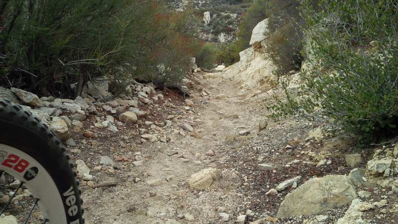
A clear section without steps or boulders. But wait, there's more...
A clear section without steps or boulders. But wait, there's more...
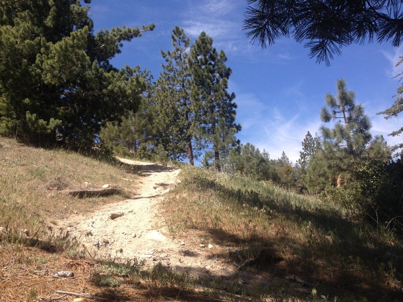
It's steeper than it looks
It's steeper than it looks
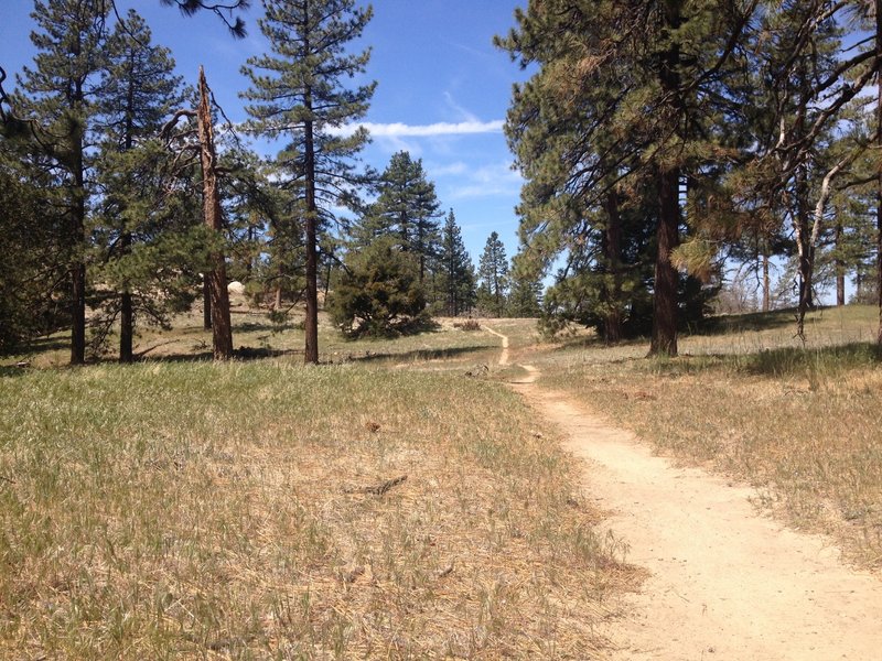
Meadow
Meadow
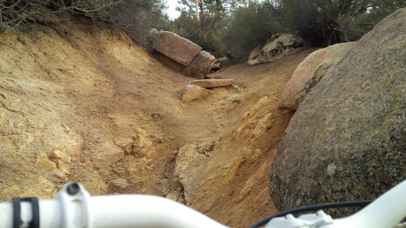
Big, doable obstacles and steeps
Big, doable obstacles and steeps
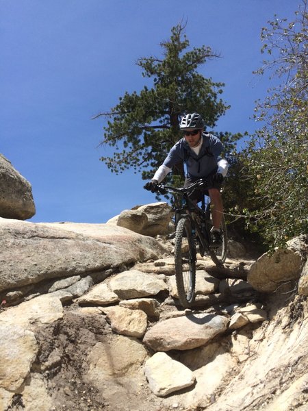
Rock fun
Rock fun
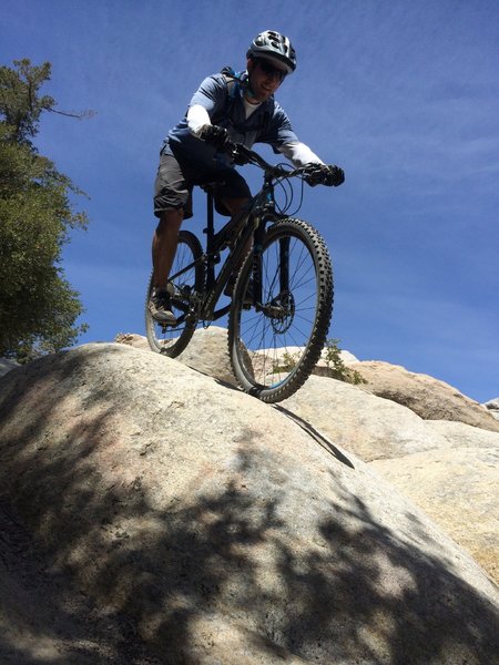
More rock puzzles
More rock puzzles