2.6 hr
Overview
First, you start in the parking lot next to Wahoos, and you take Serrano Creek Trail under the bridge and you make a right and stay on the trail. Then almost immediately, you turn left and you go on a little trail down by the creek (which is usually dried up). You take this until you get out of the creek and you make a right onto Serrano Road. <br><br>You take this road around a gate that is usually shut so cars can't get in. You'll pass two or three side trails along the way but you take this for about a mile until you come across a fork in the road. Instead of going to Dreaded Hill Rd, you stay to the right on the Serrano Cow Trail. You take this for about half a mile and it eventually turns into Whiting Rd. <br><br>This begins your ascent where you'll encounter a few forks and side trails but stay on the fire road and keep going up for about a mile. Once you pass a cell phone tower, you are almost at the top. You'll see the last big hill. After this, you continue along the same trail until you go down and then up a big dip, then you'll see a big bench and a sign. This is Four Corners. This is a great resting spot, especially before the ride down. <br><br>Once you have rested up, turn around and start to go back the way you came, but once you are at the bottom of the big dip, make a left onto Cactus Hill Trail. This is a super fun downhill singletrack, about half a mile. There are a ton of small jumps and turns to make it thrilling. Shocks and gloves are recommended because it's pretty bumpy, but it's a lot of fun. You'll come to a fork in the road, take the left side that leads downhill. After a little bit more downhill, you'll come to a second fork. Here, you can see how you are feeling and choose what you want to do. The right side is shorter and less intense, but the right side has a little bit more uphill but has a fun singletrack downhill. <br><br>These trails will both meet up so it doesn't matter which one you take. These roads will both take you back to Whiting Rd, where you'll make a left. From here,
Trail Stats
9.2 km
204 m
438 m
243 m
—
Photos
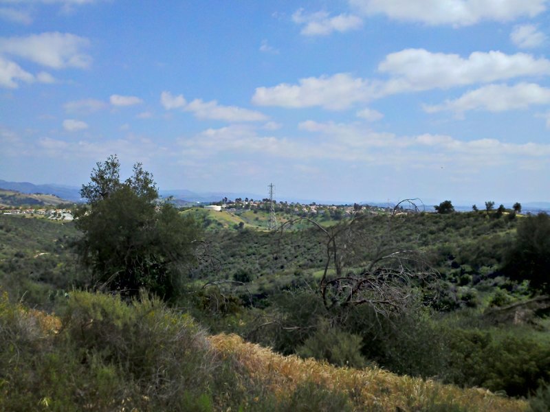
A South Easterly look from Four Corners
A South Easterly look from Four Corners
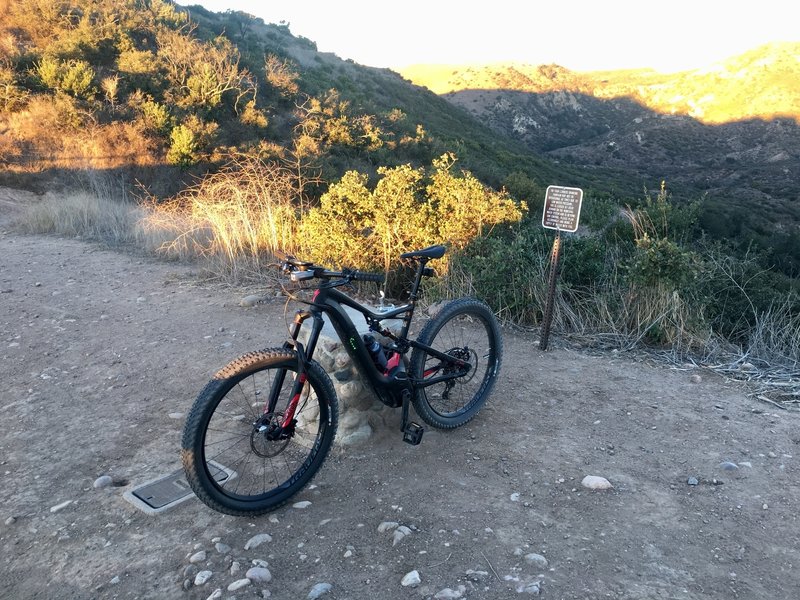
Top of Whiting Ranch.
Top of Whiting Ranch.
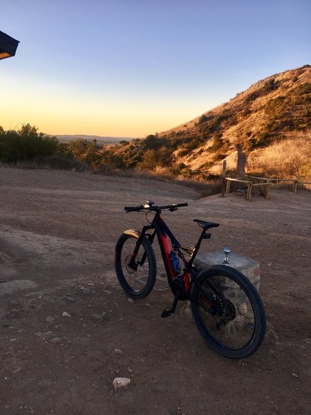
Top of Mustang.
Top of Mustang.
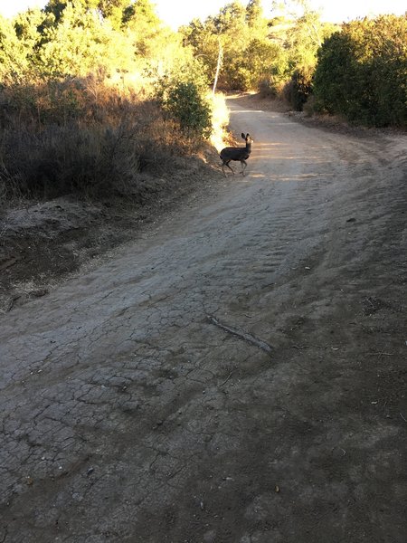
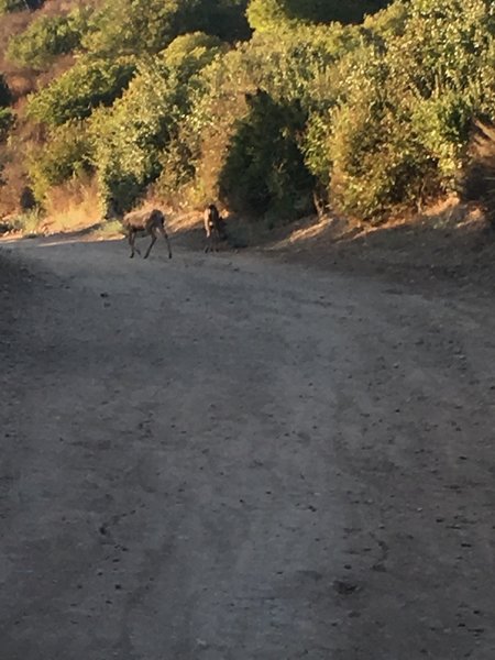
Looking for his or her mom
Looking for his or her mom
Few friends
Few friends