5.0 hr
Overview
Start near Canyon View Park, with plenty of parking along Canyon Vistas or in the surrounding neighborhoods if the street is full. <br><br>If facing the park from the street, go to the bottom of the hill and into the neighborhood. Take a left on Silkwood, and then a right on Bottlebrush. Take Bottlebrush up to Hollyleaf and make a left. Take Hollyleaf to the end where it turns into a dirt trail called West Ridge Trail. <br><br>West Ridge Trail is a fire road that goes along the ridge, with some occasional steep slopes. If the weather is clear, you can see views of the ocean at certain peaks. Follow this trail along the ridge, about two miles until you get to Top of the World, where you'll eventually veer right onto Park Avenue Trail. If you hit the cul-de-sac, you've gone too far\u2013but don't worry, you can access Park Avenue Trail from the cul-de-sac. Just turn around, and keep left at next three forks to get back onto Park Avenue Trail.<br><br>Park Avenue Trail is a short, but fun trail with some scenic views. At the bottom, you'll end up near the top of Thurston Middle School with a short, but steep climb back onto the street\u2013Park Ave. Go left and up Park Ave to the top where it ends at Alta Laguna Blvd. Make a right onto Alta Laguna Blvd and head south about a mile to get to Meadows Trail.<br><br>Meadows Trail is known to be "one of the most used trails at Aliso." It's packed dirt and well maintained, so expect a smoother ride with more flowy switchback sections and less technical features. Be aware that it is, however, pretty steep\u2013one of the steepest (and most fun) sections of this entire loop. Keep alert for two-way traffic and hikers, although this is known to be more of a downhill singletrack. Once you get through the never-ending turns, you'll eventually dead end at Wood Canyon Trail, which you'll turn left on for a slow and easy incline back toward the parking area.<br><br>Don't forget to detour onto Coyote Run Trail about one mile up on the left side, at the bottom of Mathis Canyon Trail.
Trail Stats
17.1 km
430 m
305 m
27 m
—
Photos
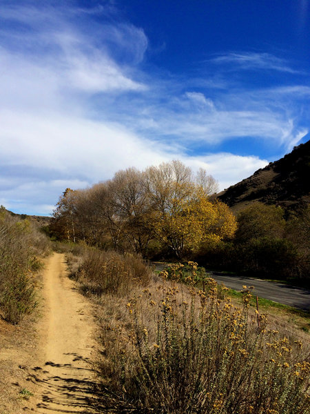
Golden autumn day
Golden autumn day
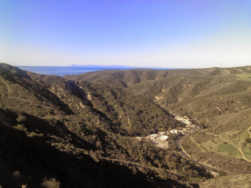
Top of Mathis by the fire hydrant overlooking Laguna Canyon Road with Catalina Island in background.
Top of Mathis by the fire hydrant overlooking Laguna Canyon Road with Catalina Island in background.
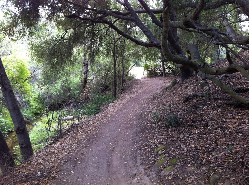
Coyote Run - Nice.
Coyote Run - Nice.
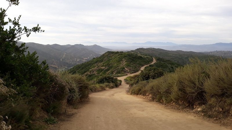
West Ridge Trail
West Ridge Trail
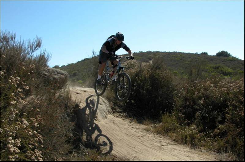
Racing down Meadows Trail on the first downhill stretch on the route
Racing down Meadows Trail on the first downhill stretch on the route
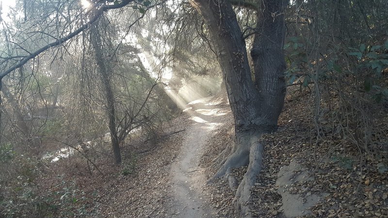
The sun peeking through the trees with morning mist on Coyote Run Trail.
The sun peeking through the trees with morning mist on Coyote Run Trail.
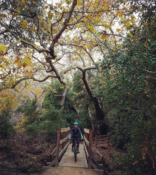
A beautiful patch of nature hides relatively untouched within the LA mega-metropolis.
A beautiful patch of nature hides relatively untouched within the LA mega-metropolis.

Bluebird Canyon -Laguna Beach, CA
Photo by Bill Freeman
Bluebird Canyon -Laguna Beach, CA Photo by Bill Freeman