11.8 hr
Overview
This trail is a shuttle to the trailhead start arrange for drop off and pick up before you go.<br><br>Start your ride at Josephine Peak Road trailhead off to the south of Angeles Crest Hwy (Hwy-2). The actual trailhead is just a short distance north on FH-59 and will be off to the right. <br><br>+Take Josephine Peak Road 2.6 miles and climb to the Josephine / Strawberry Saddle trail junction, on the RIGHT you'll see the singletrack trail entrance (DO NOT continue on the fire road on the left)<br><br>+Strawberry Saddle and Colby Canyon Trail will meet up go (SLIGHT LEFT) to stay on Colby Canyon Trail. From here you'll round the mountain and enjoy some scenic mountain views, fresh pine trees and some sweet but sketchy singletrack.<br><br>+ You'll eventually arrive at Strawberry Meadows follow the trail markers on the huge boulders marked "TRAIL" with a Native American arrows. A mile down you'll arrive at a sign in box (there's usually nothing inside) keep right, and you'll know you're going the right way when trail shoots up, at this point you'll reach a sustained climb that gets steep and later gets easier as you go. The trail will finally take you down a fast a flowy descent to Hwy 2 and the Redbox Ranger Station at the bottom.<br><br>+Cross HWY 2 and head toward the Redbox Ranger Station. Rest up.<br><br>+Make your way down the Gabrielino Trail (NRT) or "Redbox trail" The doubletrack will turn into a singletrack a few miles down, keep an eye out for poodle-dog bush and all types of natural terrain obstacles. This trail has a short but challenging rock garden get past it and you're done with the "hard part" of the trail. Continue to Switzer Picnic Area and chill out a bit.<br><br>+From the Switzer Picnic Area, make your way down to Commodore Camp and Switzer Falls area it's very rocky be careful. IMPORTANT! Stay right when you reach the "Y" intersection Gabrielino Trail junction! Do not go left! That trail will take you down into to the falls and that's not where you want to go unless you don't mind climbing bac
Trail Stats
41.5 km
870 m
1592 m
352 m
—
Photos
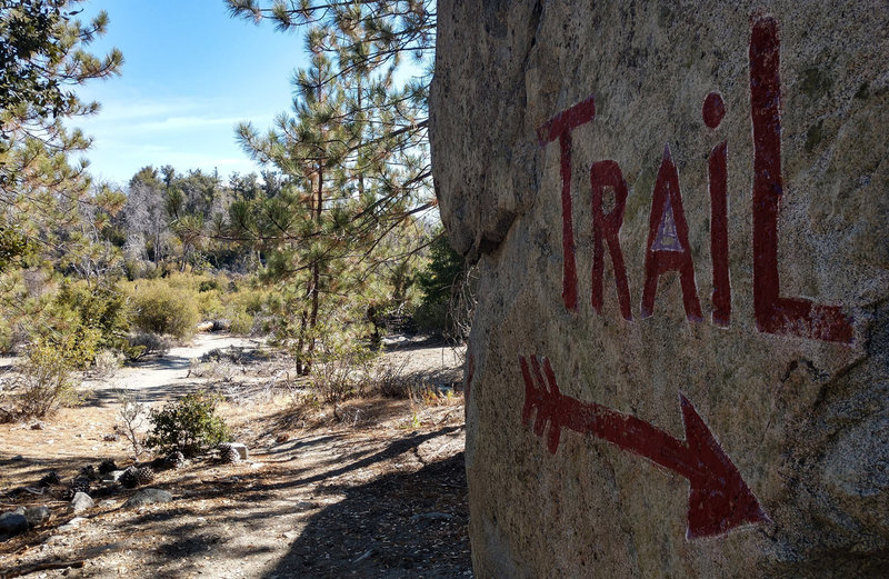
Just a reminder...
Just a reminder...
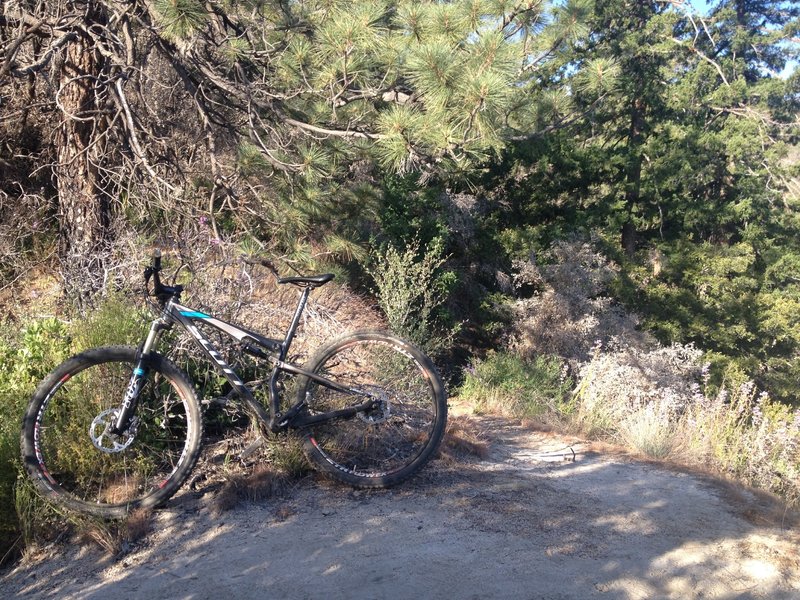
Strawberry peak trail
Strawberry peak trail
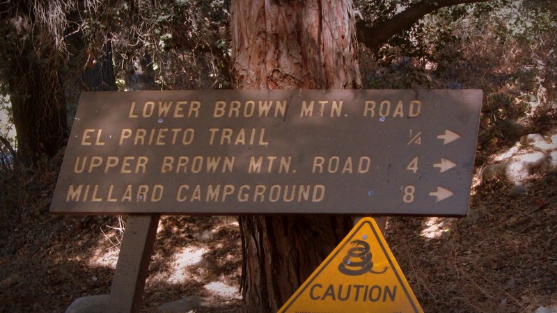
Starting of Fern Truck Trail.
Starting of Fern Truck Trail.
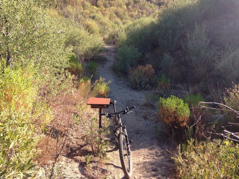
The register box where you'll want to go to the right onto Strawberry Peak Trail, which heads back uphill towards Strawberry / Lawlor saddle.
The register box where you'll want to go to the right onto Strawberry Peak Trail, which heads back uphill towards Strawberry / Lawlor saddle.
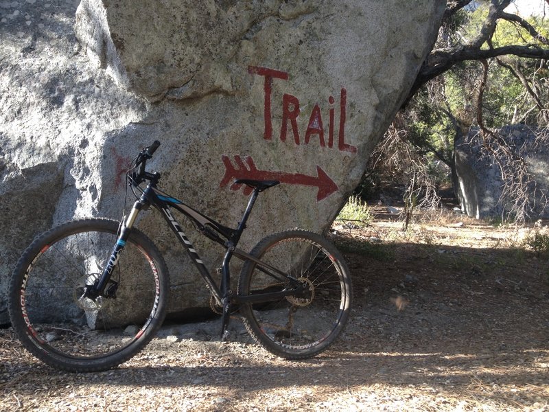
Strawberry meadows
Strawberry meadows
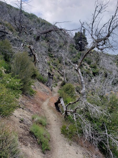
Bees are swarming in a tree here, be careful not to aggravate them, their hive is located in a dead tree.
Bees are swarming in a tree here, be careful not to aggravate them, their hive is located in a dead tree.
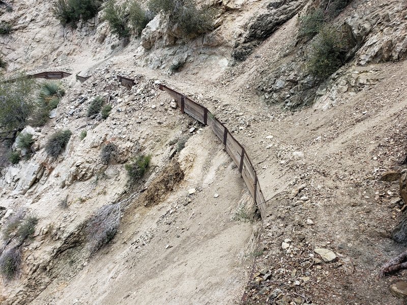
Trail is too eroded to ride, had to carry the bike here.
Trail is too eroded to ride, had to carry the bike here.
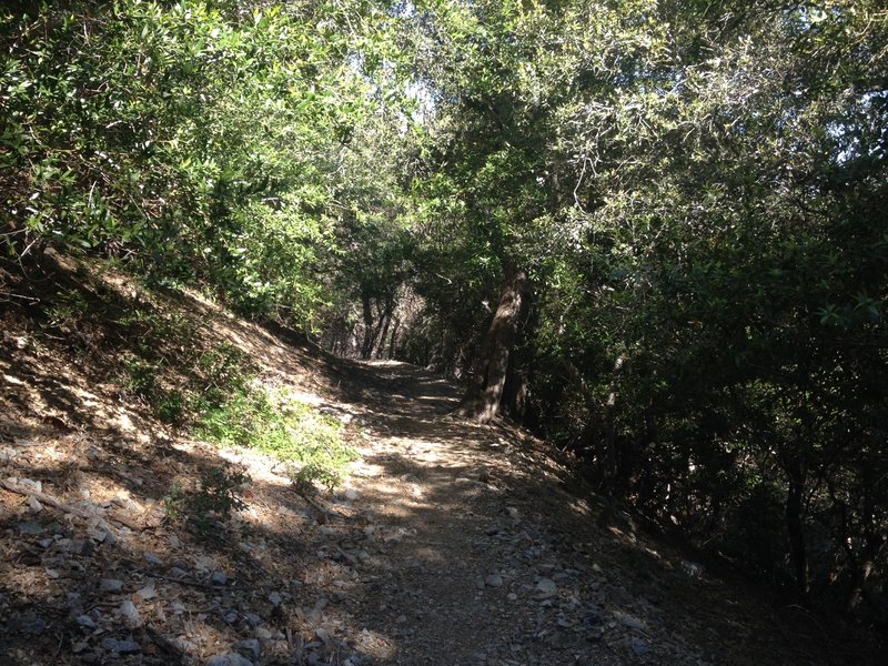
This section of the Gabrielino trail is fast and shaded.
This section of the Gabrielino trail is fast and shaded.
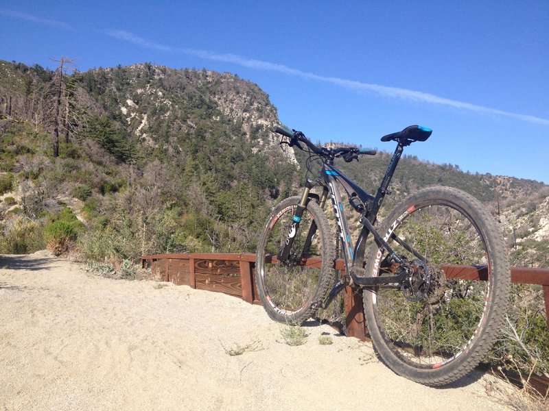
View of Strawberry peak from trail
View of Strawberry peak from trail
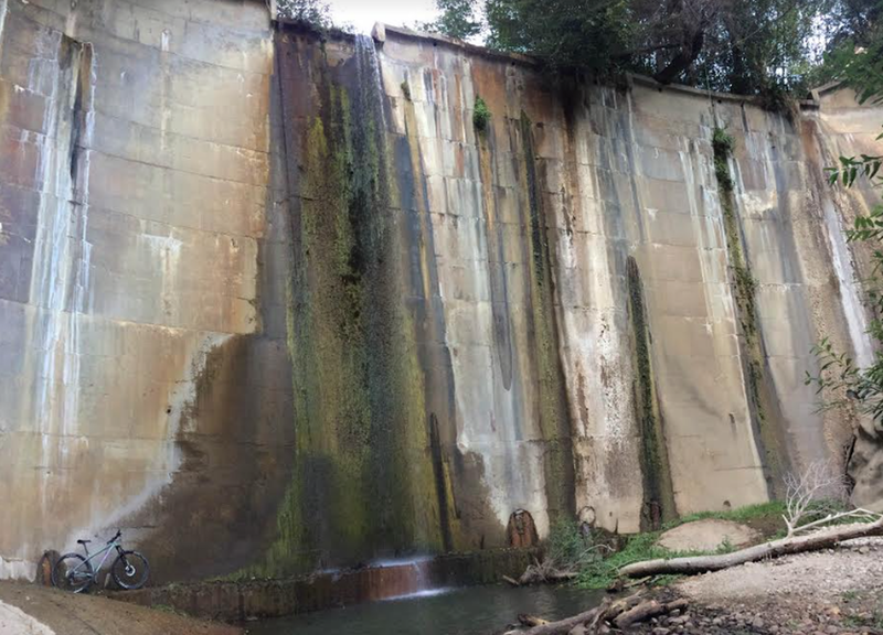
A Santa Cruz posing with the damn
A Santa Cruz posing with the damn
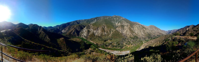
Riding Mt Wilson
Riding Mt Wilson
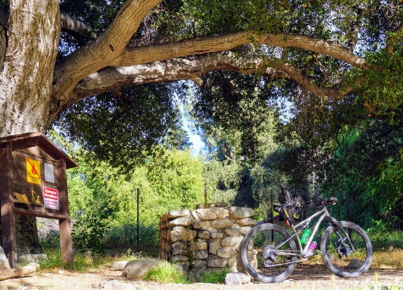
After a long ride, this oak-shaded drinking fountain has cool, refreshing mountain spring water on tap.
After a long ride, this oak-shaded drinking fountain has cool, refreshing mountain spring water on tap.
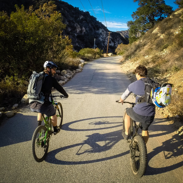
Access road leading back to the trailheads.
Access road leading back to the trailheads.
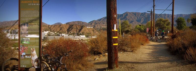
Next to Windsor Ave. parking.
Next to Windsor Ave. parking.
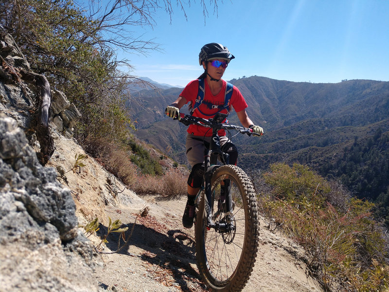
Plenty of exposure and elevation gain await you on this trail!
Plenty of exposure and elevation gain await you on this trail!
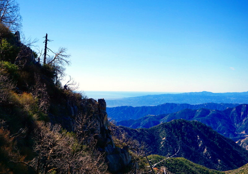
A faintly visible Carter, ignores the fantastic views as he rounds the corner into the Strawberry Peak Trail's downhill section. In the distance is the Lukens, Verdugos, and Santa Monica Mountain ranges.
A faintly visible Carter, ignores the fantastic views as he rounds the corner into the Strawberry Peak Trail's downhill section. In the distance is the Lukens, Verdugos, and Santa Monica Mountain ranges.
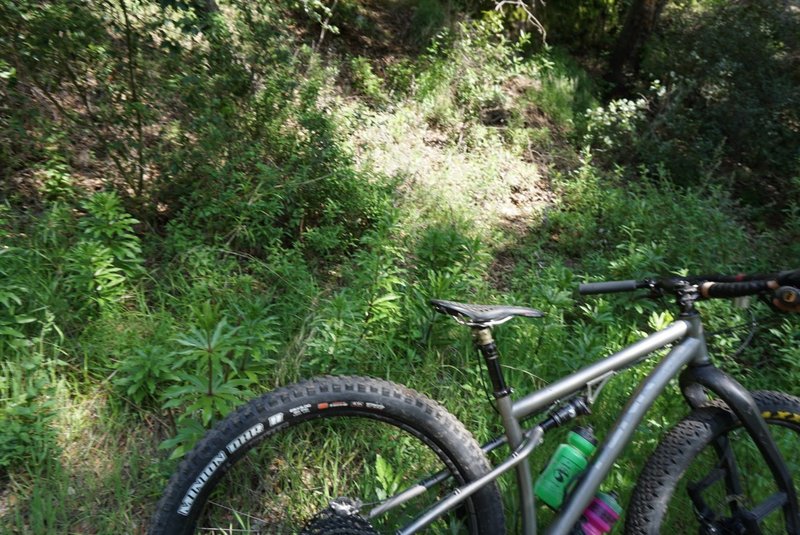
Endangered Humboldt's Lilies grow directly on the Gabrielino in places, be aware and do not disturb them.
Endangered Humboldt's Lilies grow directly on the Gabrielino in places, be aware and do not disturb them.
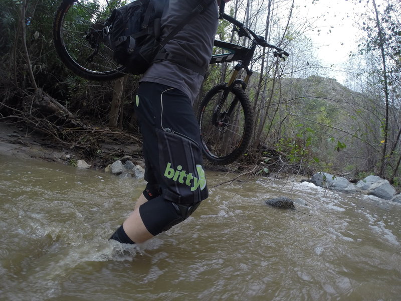
When it rains, the trail can become a bit wet in places.
When it rains, the trail can become a bit wet in places.
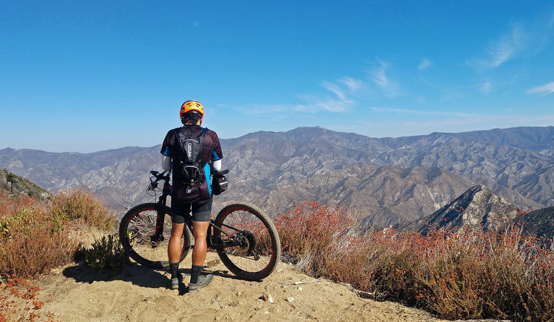
Spectacular views from the top of Colby Canyon.
Spectacular views from the top of Colby Canyon.
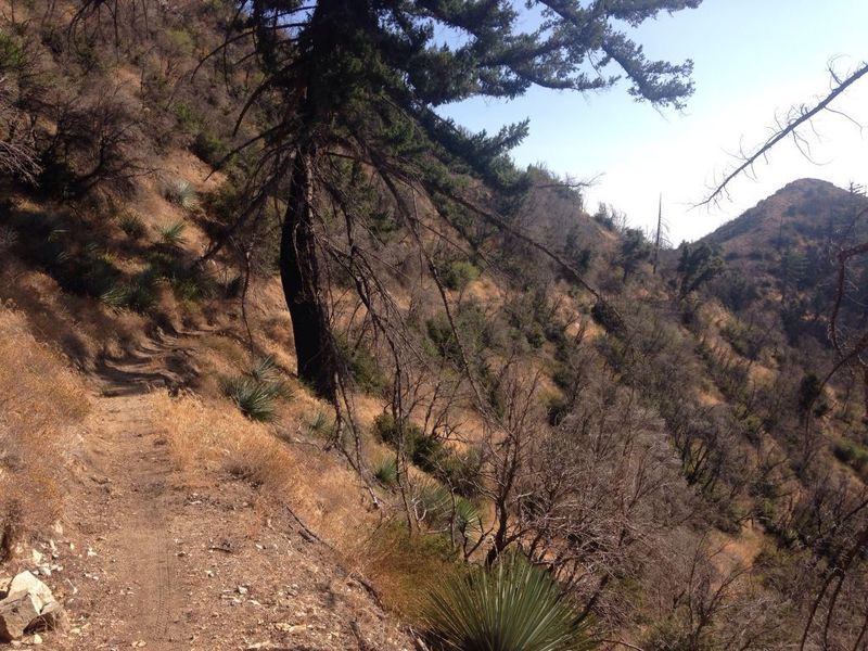
Looking back towards Josephine Saddle
Looking back towards Josephine Saddle
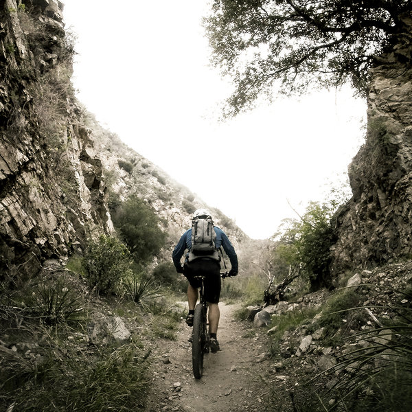
The gap on the Gabrielino Trail.
The gap on the Gabrielino Trail.
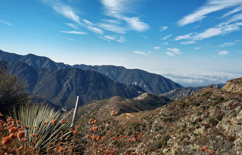
View from the top of Colby Canyon.
View from the top of Colby Canyon.
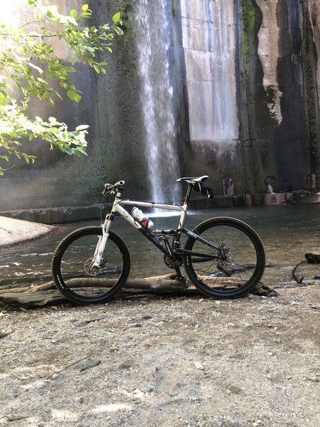
Dam
Dam
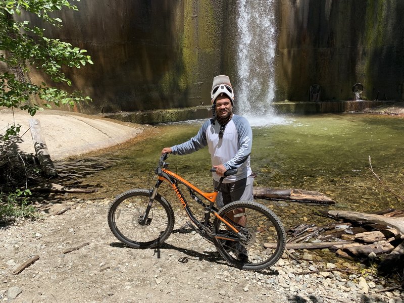
Endgame at the USFS Dam!
Endgame at the USFS Dam!
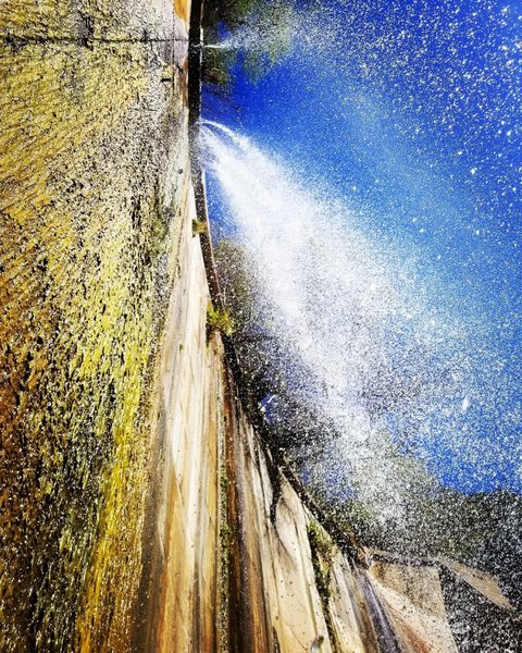
The Dam in February 2018.
The Dam in February 2018.
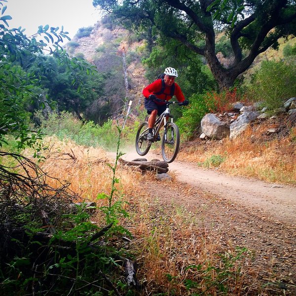
Gotta hit 'em when you see 'em!
Gotta hit 'em when you see 'em!
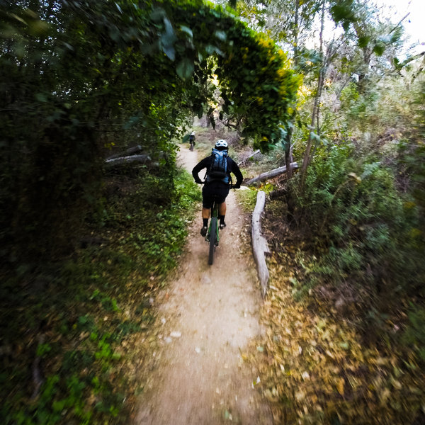
Typical of the singletrack along the Gabrielino Trail trail and the Arroyo.
Typical of the singletrack along the Gabrielino Trail trail and the Arroyo.
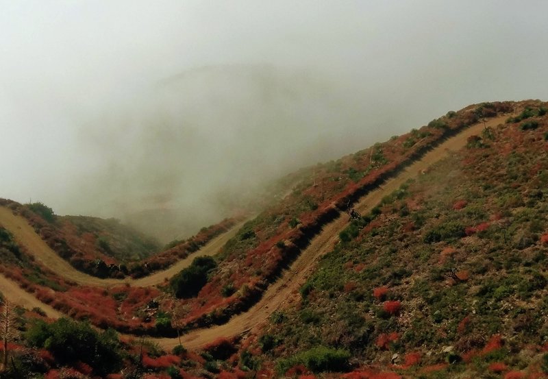
They look intimidating, but the switchbacks climbing to Josephine saddle are a very pleasant grade. South-facing, though, so exposed to the sun unless you climb it in a cloud.
They look intimidating, but the switchbacks climbing to Josephine saddle are a very pleasant grade. South-facing, though, so exposed to the sun unless you climb it in a cloud.
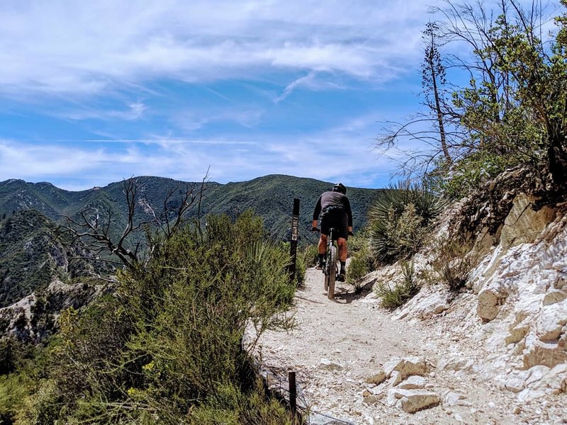
It's (mostly) all downhill from here. Once you pass the Bear Canyon Tr junction the crowds thin out and the views expand grandly.
It's (mostly) all downhill from here. Once you pass the Bear Canyon Tr junction the crowds thin out and the views expand grandly.
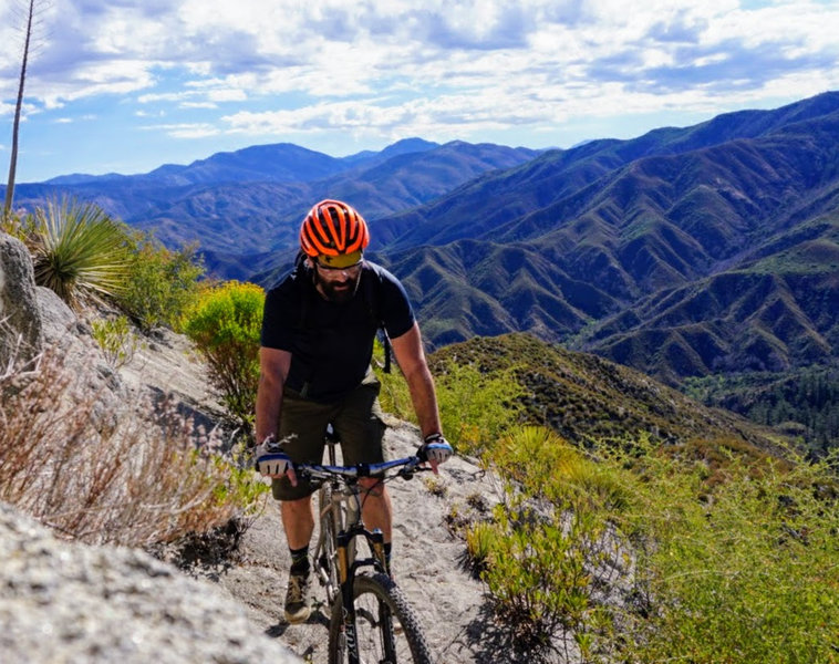
The ascent between Strawberry Meadows and the Lawlor Saddle is a lot like the view from it: long and breath-taking.
The ascent between Strawberry Meadows and the Lawlor Saddle is a lot like the view from it: long and breath-taking.
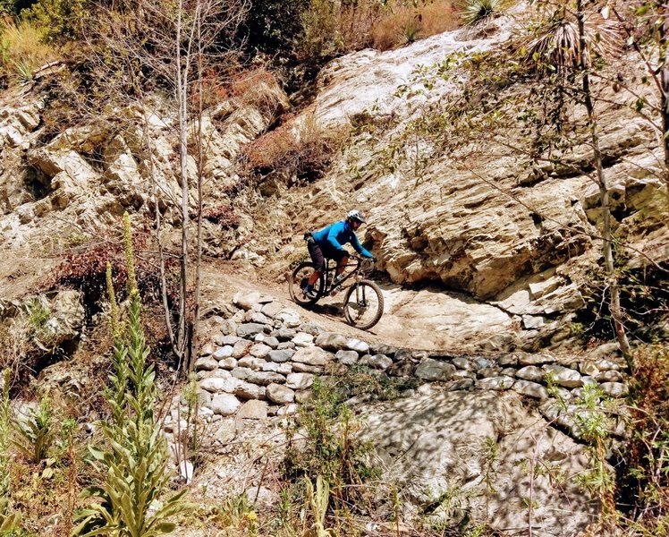
Erik rides a recently restored section of the Gabrielino.
Erik rides a recently restored section of the Gabrielino.
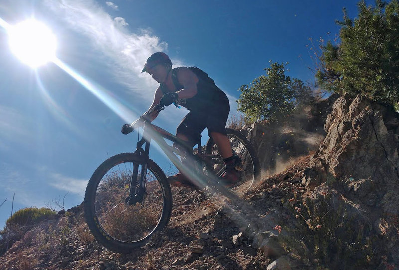
Gabriel Z. in classic form.
Gabriel Z. in classic form.
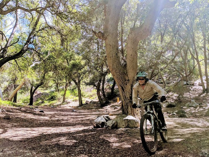
Rolling into idyllic Switzer's Picnic Area after an invigorating ride down from Red Box
Rolling into idyllic Switzer's Picnic Area after an invigorating ride down from Red Box
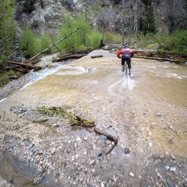
When it rains.....
When it rains.....
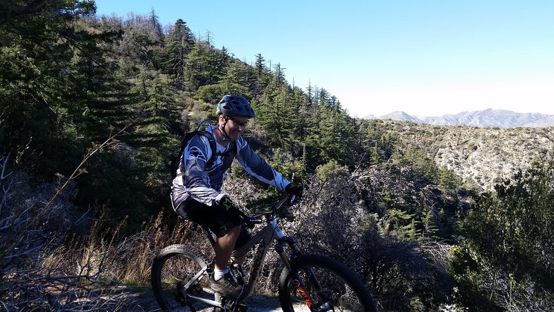
Rolling Colby Canyon Trail on my Knolly!
Rolling Colby Canyon Trail on my Knolly!
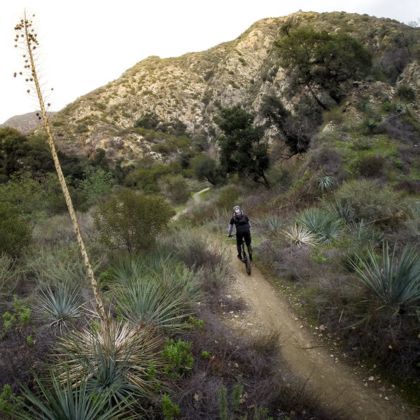
Cruising north on a winter afternoon.
Cruising north on a winter afternoon.
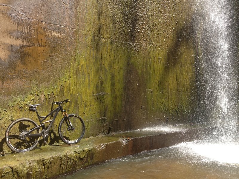
Waterfall over the debris dam.
Waterfall over the debris dam.
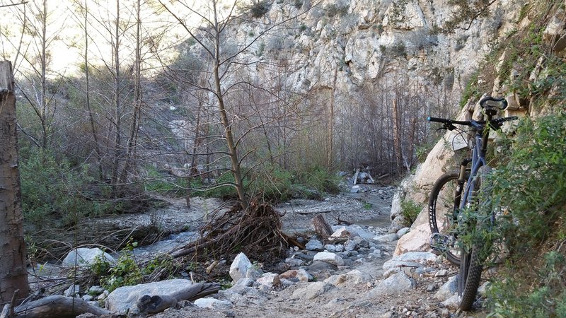
One of the many fun creek / river crossings
One of the many fun creek / river crossings
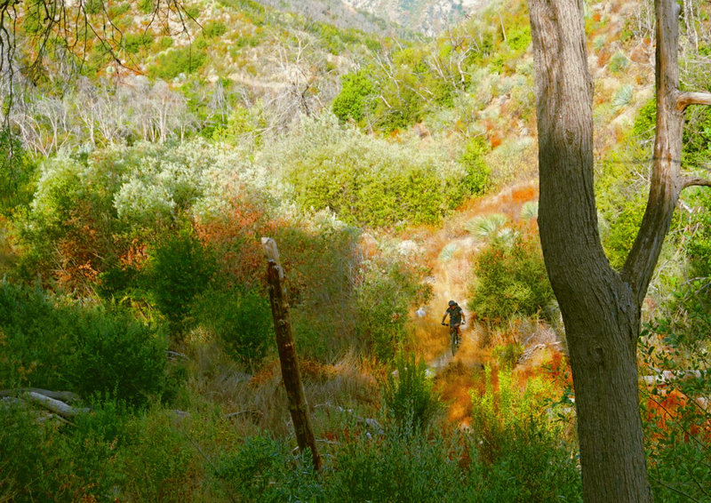
Martino climbs the Gabrielino from Switzers Picnic Area to Red Box.
Martino climbs the Gabrielino from Switzers Picnic Area to Red Box.
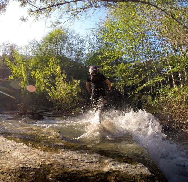
Splash through this water crossing at one of the spillways.
Splash through this water crossing at one of the spillways.
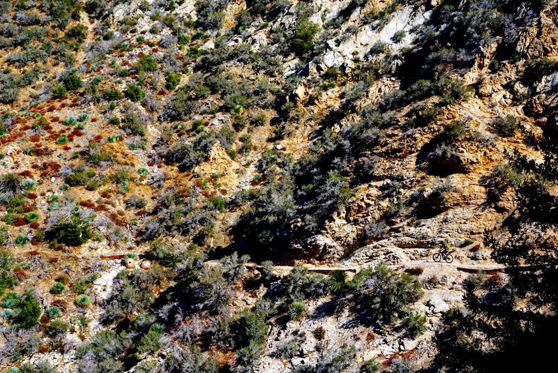
Alex Fore (bottom right) navigates the extreme exposure along Colby Canyon Trail on the Strawberry Peak Loop.
Alex Fore (bottom right) navigates the extreme exposure along Colby Canyon Trail on the Strawberry Peak Loop.
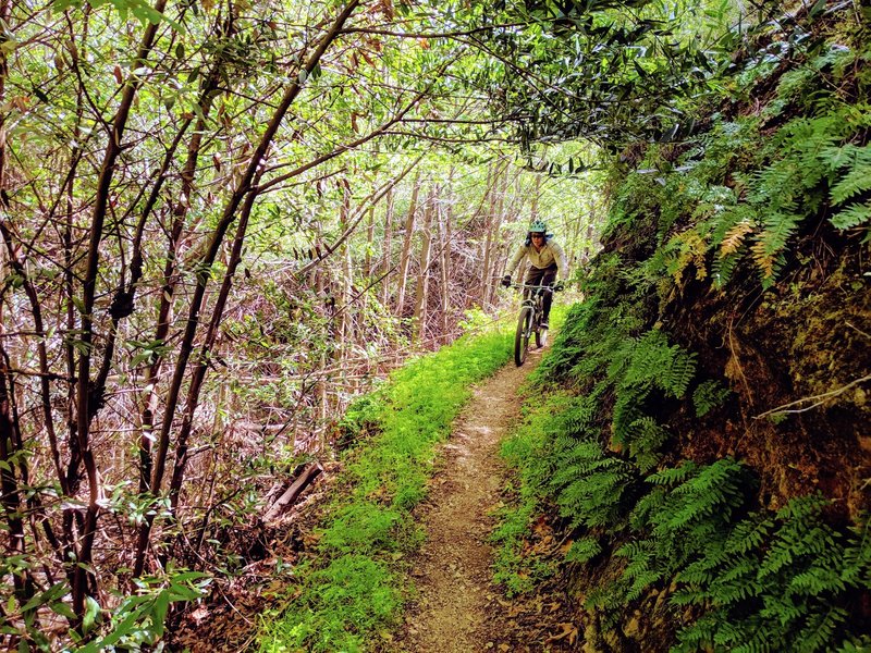
Lush ferns and young, post-fire growth disguise the narrow bench and steep exposure in the Long Canyon section of the Gabrielino
Lush ferns and young, post-fire growth disguise the narrow bench and steep exposure in the Long Canyon section of the Gabrielino
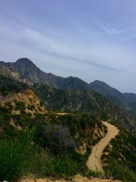
Looking back, half-way up the switchbacks on Josephine Saddle Fire road.
Looking back, half-way up the switchbacks on Josephine Saddle Fire road.

view toward the Angeles Crest Highway.
view toward the Angeles Crest Highway.
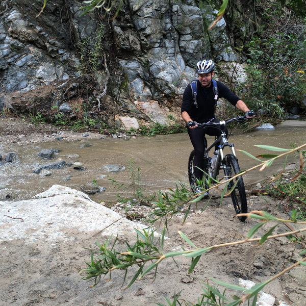
Lots of stream crossings on the way up Gabrielino Trail. It's a challenge not to fall in at least once!
Lots of stream crossings on the way up Gabrielino Trail. It's a challenge not to fall in at least once!
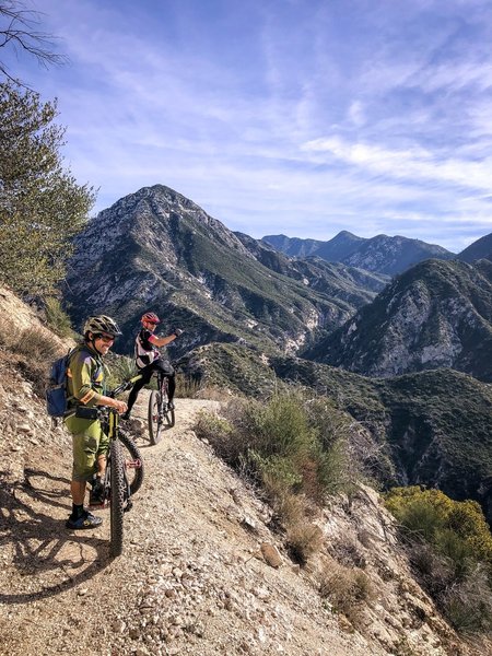
Steve Messer and John Nobil on the newly re-opened Gabrielino Trail
Steve Messer and John Nobil on the newly re-opened Gabrielino Trail
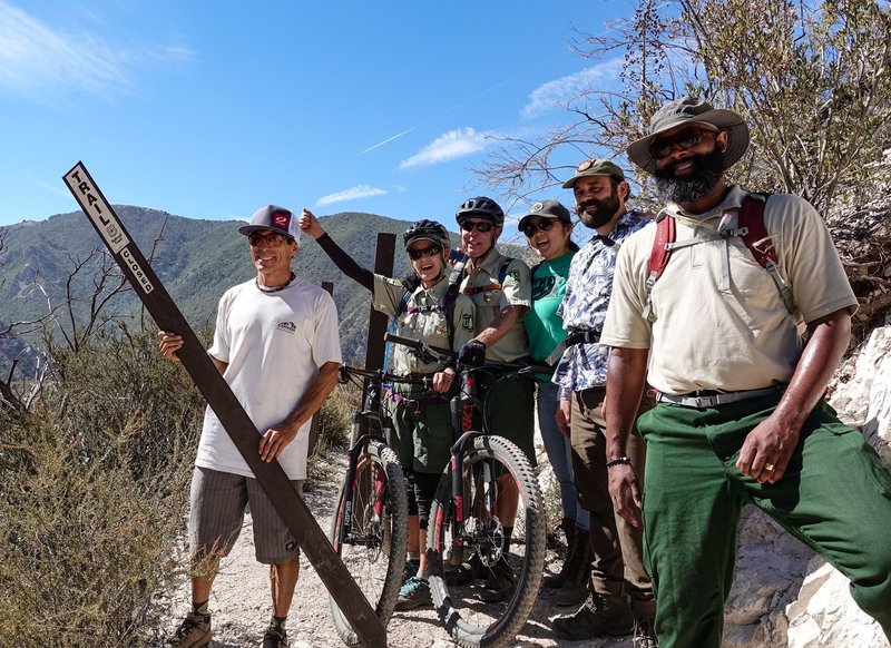
Steve Messer from CORBA removes the closed sign at Bear Canyon Junction on August 24, 2018. The trail is now open all the way through from Chantry to JPL, thank to CORBA, Mount Wilson Bicycling Association, REI and SCE.
Steve Messer from CORBA removes the closed sign at Bear Canyon Junction on August 24, 2018. The trail is now open all the way through from Chantry to JPL, thank to CORBA, Mount Wilson Bicycling Association, REI and SCE.
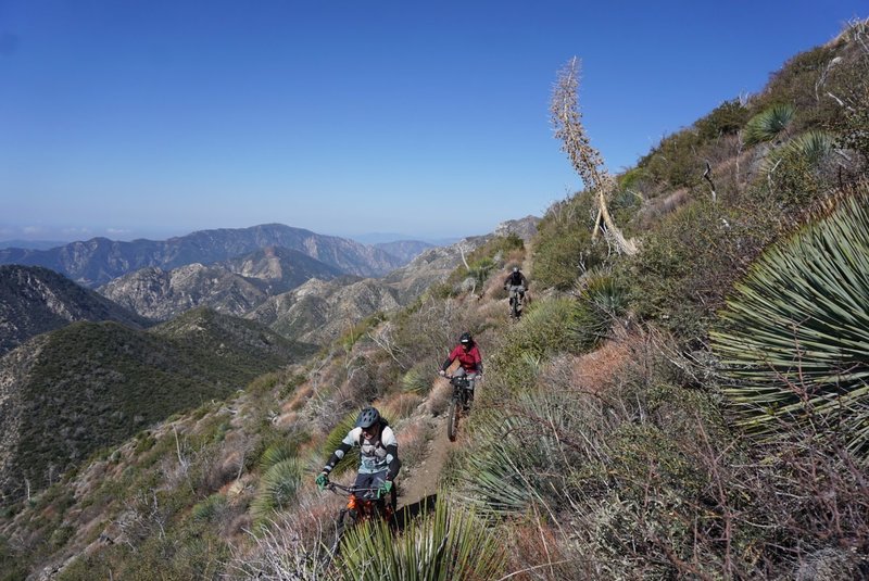
The descent from Lawlor saddle to Red Box offers more epic views of the Angeles National Forest
The descent from Lawlor saddle to Red Box offers more epic views of the Angeles National Forest