8.0 hr
Overview
From 138, turn south onto Ridge Route Road and drive for about four miles. Head straight through the intersection with Mesa View Dr and Pine Canyon Rd and park at the dirt parking lot on the side of the road after the "S" curve.<br><br>From the dirt parking lot, start climbing south on the paved Ridge Route Road. Around mile 3, you'll turn to the left and start your climb to the top on 7N23 Liebre Mountain Trail. After around 3.5 miles, turn right onto the Golden Eagle Trail. After a couple miles on the Golden Eagle Trail, the trail will cross 7N23 Liebre Mountain Trail. Turn right onto 7N23 Liebre Mountain. <br><br>Continue for another couple miles as the fire road start to level off. There are several trails/fire roads that cross the main road, in addition to the Pacific Crest Trail, which is not designated for bikes, so stick to the GPS tracks.<br><br>At mile 10.3, look for the left turn onto a doubletrack that will head north for a couple hundred yards before you turn left to return on the Golden Eagle Trail. At mile 14.3, stay to the right, continuing on Golden Eagle Trail back to Old Ridge Road near the parking area.
Trail Stats
27.5 km
679 m
1755 m
1207 m
—
Photos
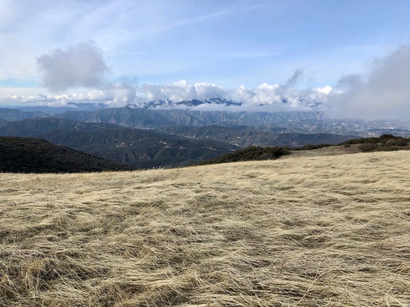
Pyramid Lake in the distance
Pyramid Lake in the distance
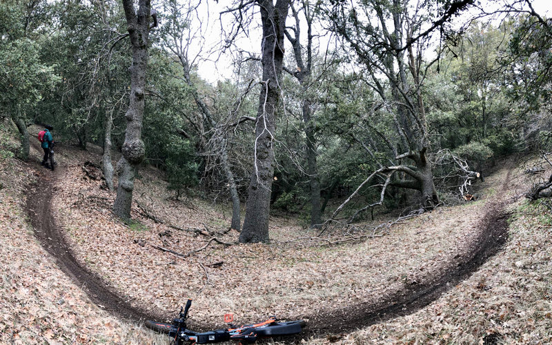
On the upper portion of the Sandberg Trail
On the upper portion of the Sandberg Trail
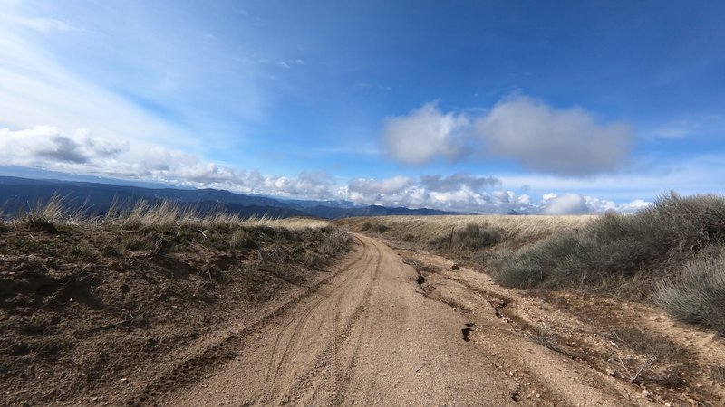
The views are terrific from up there. Here, looking Southwest.
The views are terrific from up there. Here, looking Southwest.
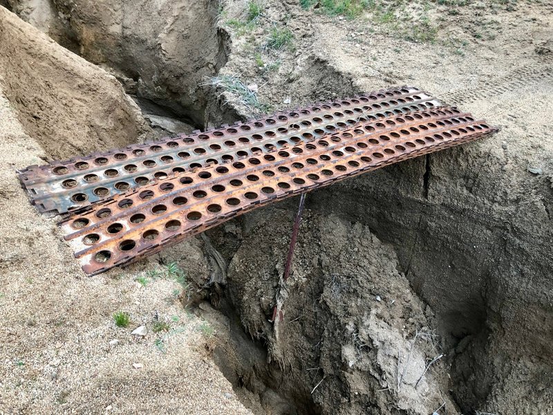
Temporary bridge that is becoming even more temporary. Erosion has occurred in the last month or two.
Temporary bridge that is becoming even more temporary. Erosion has occurred in the last month or two.
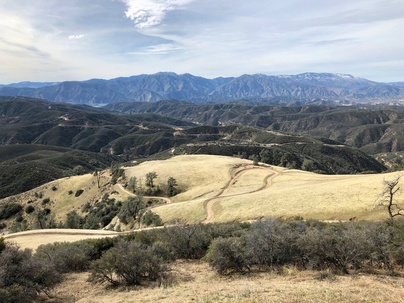
Viewing Southward
Viewing Southward
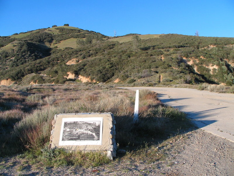
Liebre Road maintenance camp location.
Liebre Road maintenance camp location.
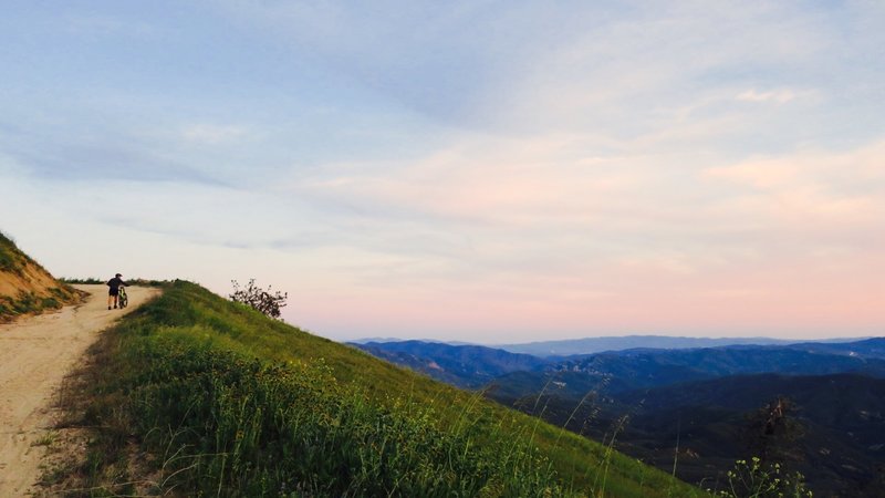
Pushing up while enjoying the views.
Pushing up while enjoying the views.
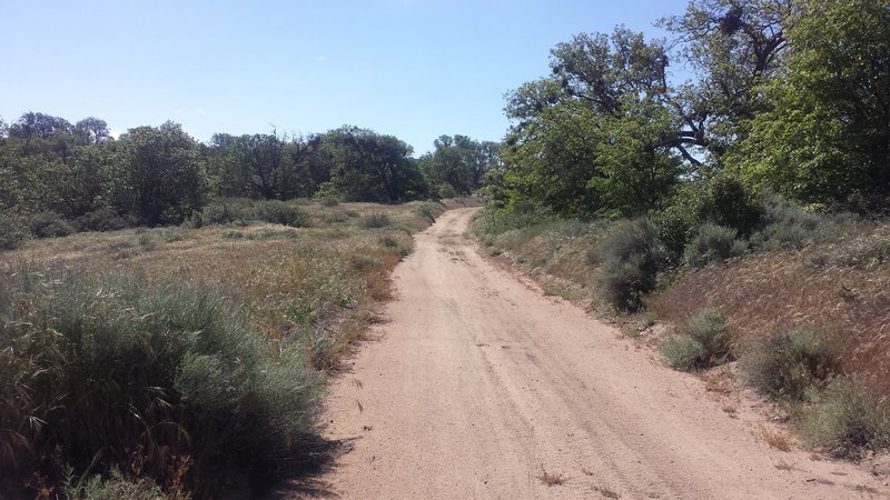
The fire road climbing up.
The fire road climbing up.
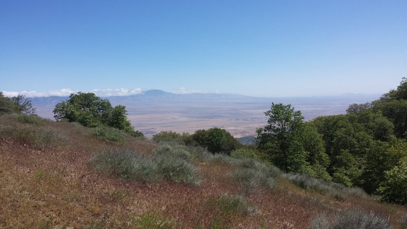
Mojave desert and the Tehachapi Range.
Mojave desert and the Tehachapi Range.
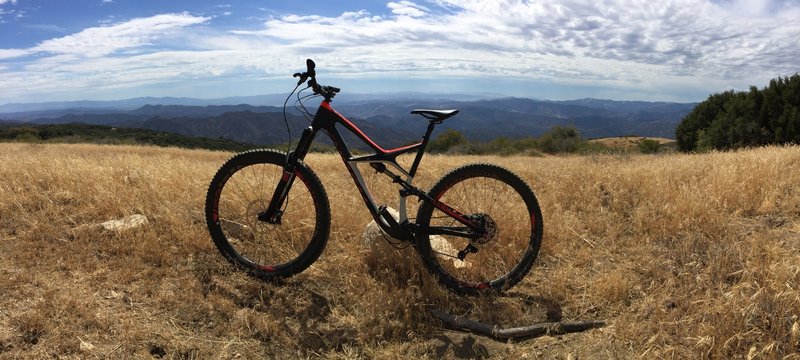
Looking SSW from atop Mt Liebre. Catalina Island visible.
Looking SSW from atop Mt Liebre. Catalina Island visible.
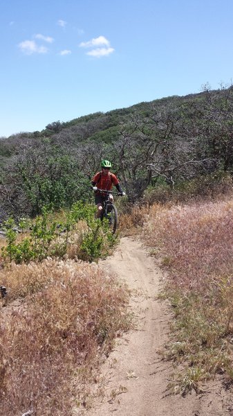
Fun downhill!
Fun downhill!
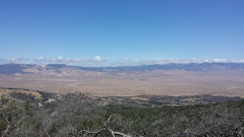
Mojave desert and the Tehachapi Range
Mojave desert and the Tehachapi Range
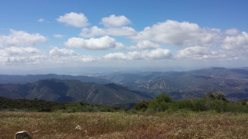
Beautiful views from the top!
Beautiful views from the top!
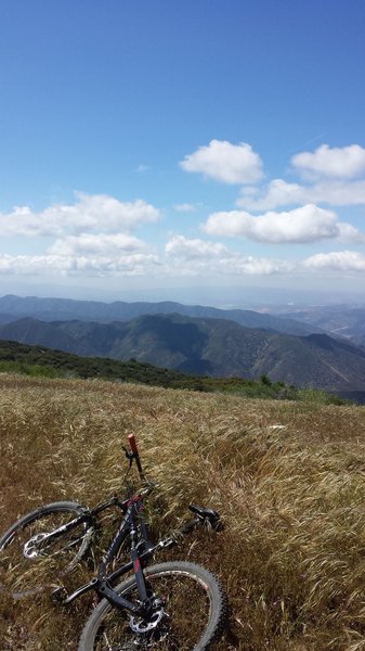
Top of Liebre Mountain looking southwest.
Top of Liebre Mountain looking southwest.
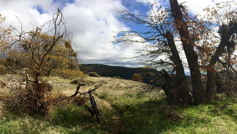
Highly recommended when the hills are green after the first couple of rains in the fall or in the spring.
Highly recommended when the hills are green after the first couple of rains in the fall or in the spring.