12.6 hr
Overview
From the Tucker Wildlife Sanctuary at the end of Modjeska Canyon Rd., head around the gate and start climbing. If you weren't awake yet, you'll be quickly as the first mile gains ~510 feet before a short 0.25-mile downhill. The downhill is over quickly, and you start climbing again.<br><br>The Harding Truck Trail lives up to its name\u2014it's hard. It's a truck trail / fire road the whole way up. Although wide, it does have more of a double or even singletrack feel than most OC fire roads. One side will be more dominant than the other. Unlike Maple Springs Rd (the most common way to reach 4 Corners), you'll not experience vehicle traffic on Harding unless there is an event scheduled that day. It's a popular trail running route. The trail will also stay hard-packed throughout the year and holds up against rain fairly well other than the first two miles. It's definitely more challenging though.<br><br>At the 7-mile mark, you'll get a much-appreciated reprieve from the average eight-plus percent climbing for about 0.75 miles before the last 1.5 mile charge up to 4 Corners. From 4 Corners, you can head down to Maple Springs and road-ride back to your car, head up to Modjeska, Santiago Peaks, Joplin Trail, Silverado Motorway, or simply back down Harding.<br><br>Joplin is a technical-trail-lovers kind of trail located at the top of the Santa Ana Mountains. It starts at the saddle of Modjeska and Santiago Peaks and drops down the west slope of the mountains to an area called Old Camp. Drops is a good word to describe this trail as it sheds off nearly 2,000 feet of elevation in about two miles. The trail is often loose and rocky with some chunky stuff here and there. Combined with an average grade of 20 percent, this is one of those places where you need to bring your "A" game to fully appreciate this trail. You just can't drive to either the bottom or the top of the trail so it requires some work to access it. <br><br>The route described here is a combination of the Harding Truck Trail, Main Divide Rd, Joplin Trail
Trail Stats
40.7 km
1459 m
1535 m
339 m
—
Photos
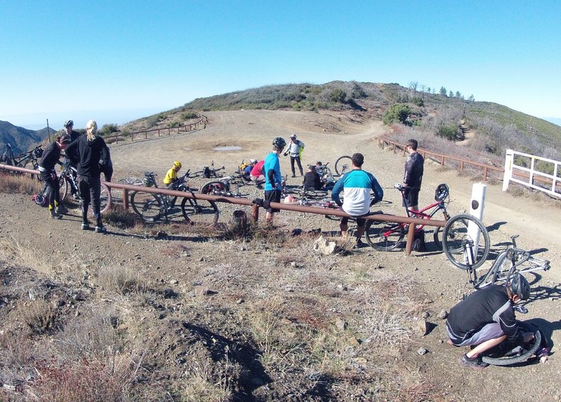
Four Corners, looking west.
Four Corners, looking west.
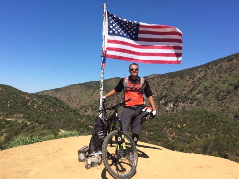
Out riding The Luge on a demo day!
Out riding The Luge on a demo day!
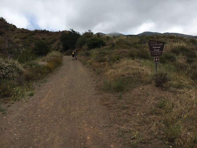
Entering Cleveland NF towards the beginning of Harding.
Entering Cleveland NF towards the beginning of Harding.
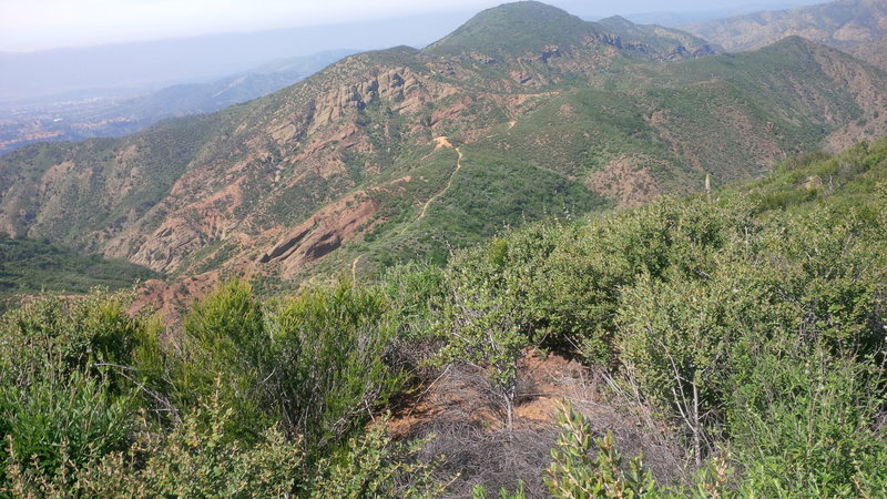
View from Santiago Truck Trail (looking west) of The Luge trailhead, with Orange County in the background.
View from Santiago Truck Trail (looking west) of The Luge trailhead, with Orange County in the background.
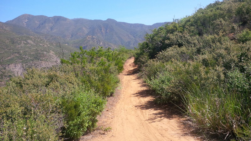
View of Santiago Truck Trail (looking east) with Santiago Peak (trademark antennas) in the background.
View of Santiago Truck Trail (looking east) with Santiago Peak (trademark antennas) in the background.
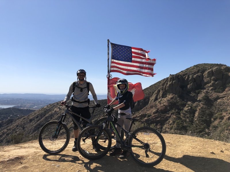
First time on the Luge was a great ride.
First time on the Luge was a great ride.
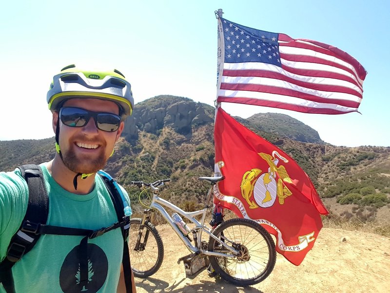
Cool overlook with a flag at roughly the halfway point.
Cool overlook with a flag at roughly the halfway point.
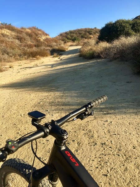
Starting up the dirt on the Luge
Starting up the dirt on the Luge
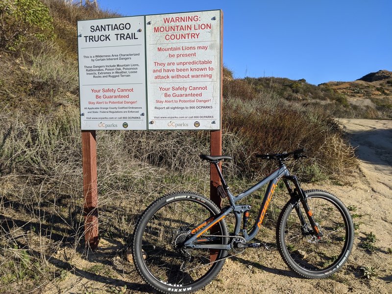
Entrance after a grueling uphill Modjeska Grade Rd.
Entrance after a grueling uphill Modjeska Grade Rd.
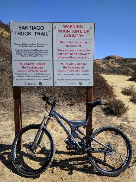
Santiago Truck Trail Entrance - start of the Luge loop
Santiago Truck Trail Entrance - start of the Luge loop
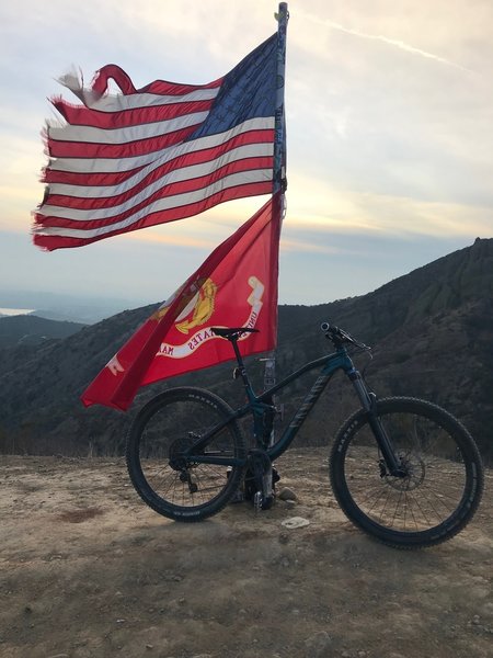
Top
Top
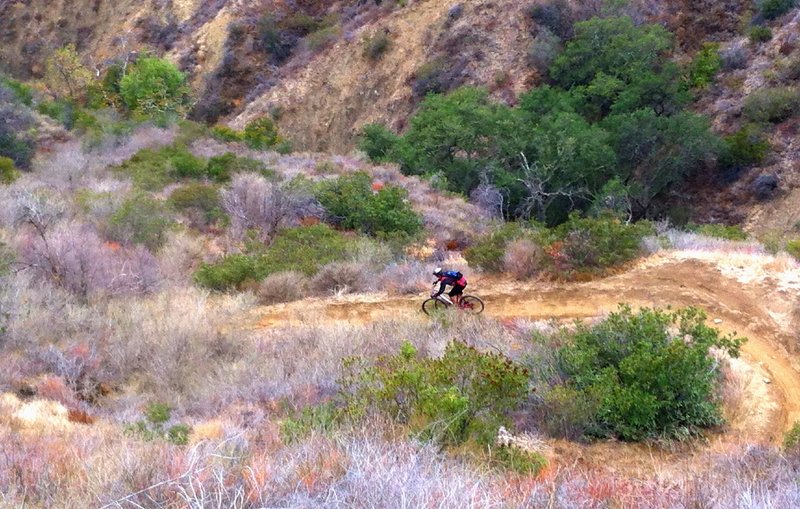
Like a sled course, The Luge snakes steeply down the cliff side.
Like a sled course, The Luge snakes steeply down the cliff side.
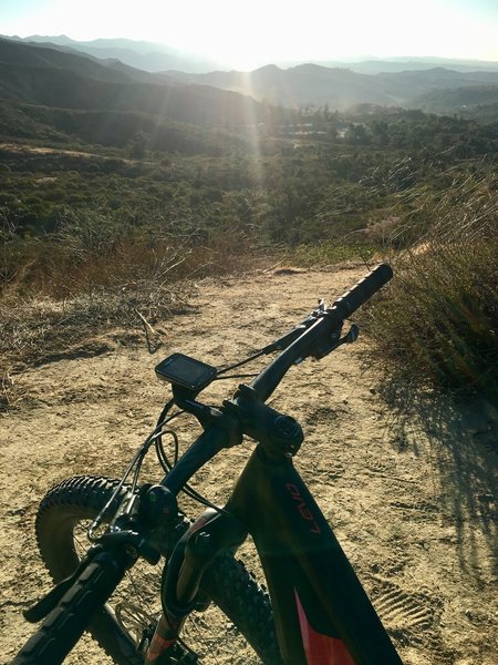
Looking down the beginning of the Luge climb
Looking down the beginning of the Luge climb
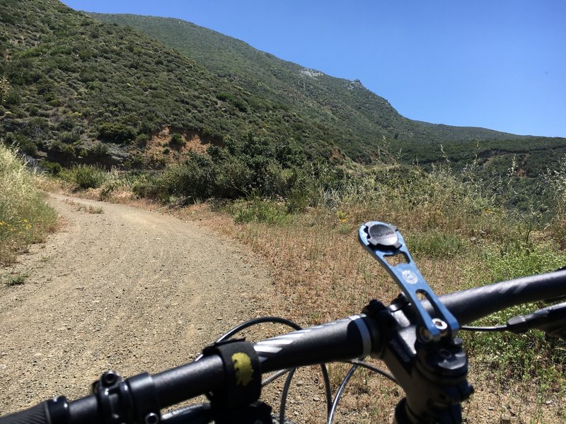
Near Laurel Springs on Harding TT.
Near Laurel Springs on Harding TT.
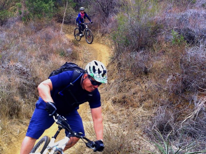
Always a good time on The Luge
Always a good time on The Luge
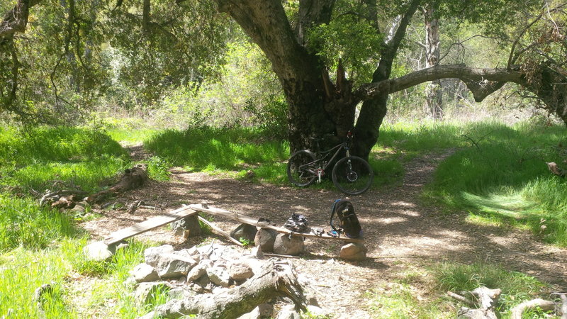
View of historical Old Camp.
View of historical Old Camp.
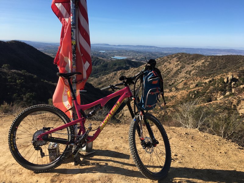
Election Day at the Flags!
Election Day at the Flags!
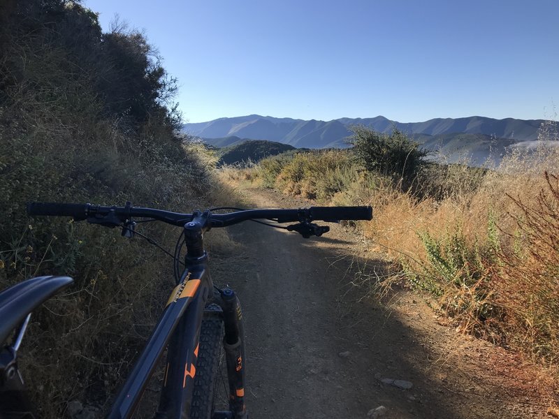
Perfect cool morning ride up Truck Trail.
Perfect cool morning ride up Truck Trail.
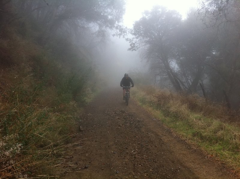
Gorilla in the Harding mist
Gorilla in the Harding mist
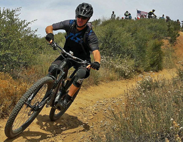
Dropping into 'The Luge'.
Dropping into 'The Luge'.
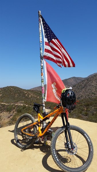
Top of the Luge taking a breather and getting the GoPro ready for the fun ride down
Top of the Luge taking a breather and getting the GoPro ready for the fun ride down
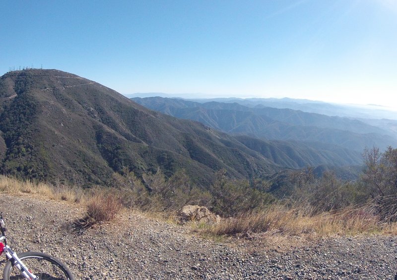
Standing just below Modjeska Peak looking south and east across the meat of the Santa Ana Mountains towards San Diego is Santiago Peak, the highest peak in the Santa Ana's on the far left.
Standing just below Modjeska Peak looking south and east across the meat of the Santa Ana Mountains towards San Diego is Santiago Peak, the highest peak in the Santa Ana's on the far left.
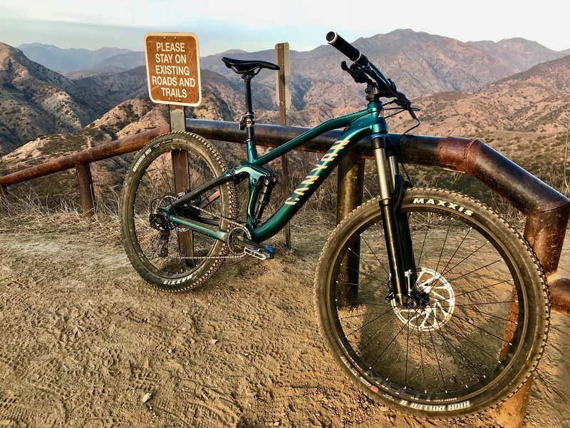
Great view from the trail
Great view from the trail
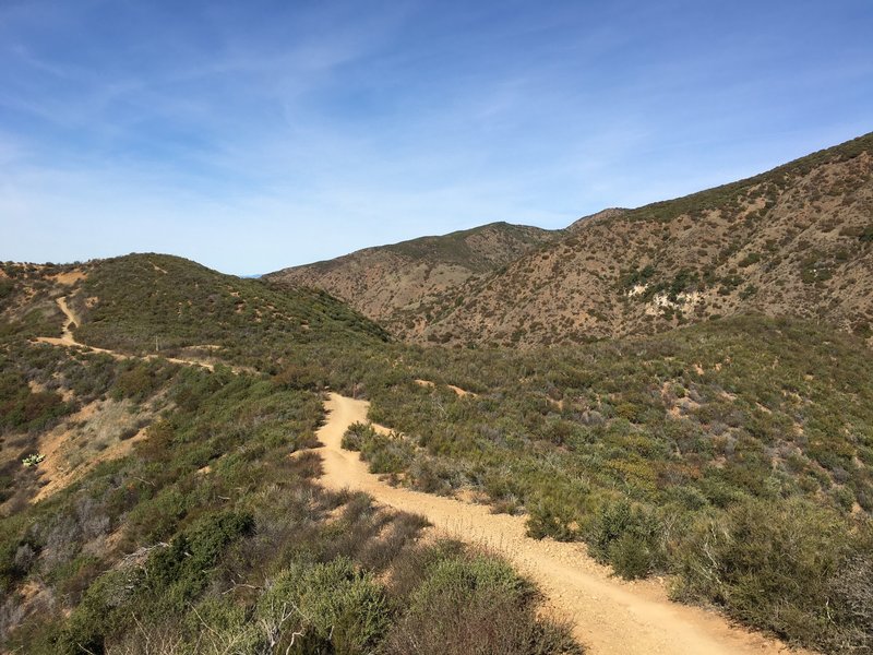
Amazing ride
Amazing ride
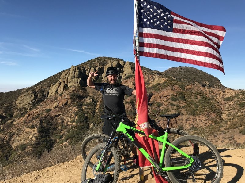
My first time riding ‘The Luge’ cautiously.
My first time riding ‘The Luge’ cautiously.
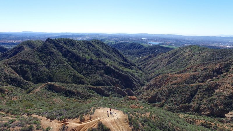
The scenery from The Luge Trail. Photo by DPCAero.com
The scenery from The Luge Trail. Photo by DPCAero.com
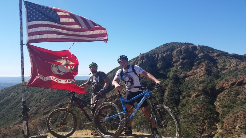
If you made it to the Flag pole - you made it half way! Now watch out for speed on the descent and some obstacles on the descent - be careful they come up fast! Better safe then sorry!
If you made it to the Flag pole - you made it half way! Now watch out for speed on the descent and some obstacles on the descent - be careful they come up fast! Better safe then sorry!
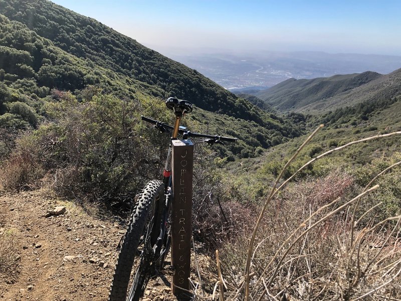
Enough of going up, time to go down!
Enough of going up, time to go down!
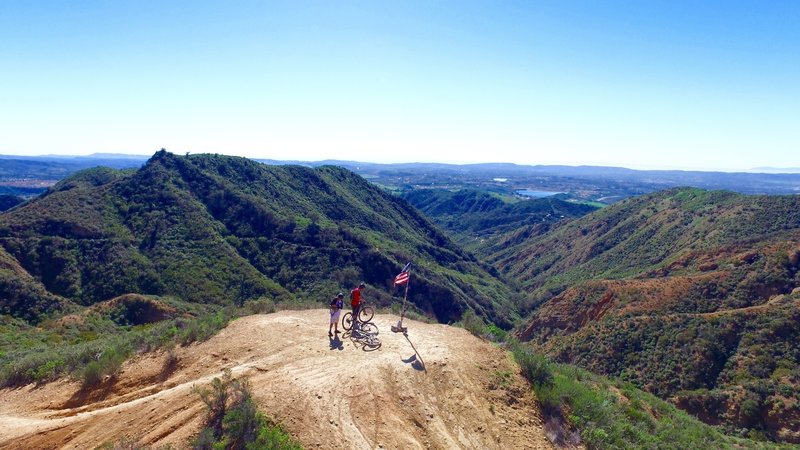
Flag pole on the top of the Luge. Photo by DPCAero.com
Flag pole on the top of the Luge. Photo by DPCAero.com
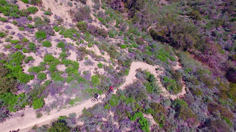
Down the Luge. Shot by DPCAero.com
Down the Luge. Shot by DPCAero.com