7.3 hr
Overview
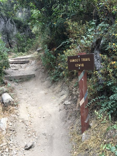
Park at the top of Chaney Trail (flashing yellow light on Loma Alta Dr.), a steep residential street that turns into a twisting National Forest road (if full, turn left at the top and go downhill to the Millard Campground lot. Ride bike back to top of Chaney). Go around the swinging gate, and right away the paved fire road, Mt Lowe Rd, gets steep and weaves a few times. It levels off for a hundred yards and on the right will be a fenced-in forest service facility. <br><br>At the end of this facility, look left and take notice of the trail that drops to Millard Campground, you'll be going that way later. For the next two miles, the builders somehow found a way to weave this paved fire road up a mountain without deviating from a 12% incline for a single inch. I mean... STEEP. So put your head down, find a rhythm, and try to ignore the pain. There will be a left-hand split half-way up, but stay right.<br><br>At exactly 2.3 miles from the gate, look for a trailhead on the left with a sign post. I remember a couple of trees standing near the trail entrance. See the overview above for details on Sunset Ridge Trail.<br><br>2.4 miles down from the top, Sunset Ridge Trail eventually merges from the right, like a freeway, onto the pavement of Mt Lowe Rd near the forest service facility. Remember that trail I told you to notice? Now take that right-hand drop to Millard Campground and enjoy, finally, the ability to open it up a little on the flowy section. At the trails end, say hi to the campers as your passing kicks a few leaves into their sites. The path turns into dirt fire road and a one-mile climb starts, up 300 feet, along Millard Canyon Rd. <br><br>The road peaks then starts to descend. Take the first right-hand turn on a fire road after 1/4th mile of downhill (if you end up at a gate with a house on the left, you missed the turn). This short section leads to the entrance of El Prieto Trail, but from its south side instead of the north like most everyone else does. Look for a small, left-hand drop into the forest be
Trail Stats
23.1 km
902 m
1044 m
401 m
—
Photos
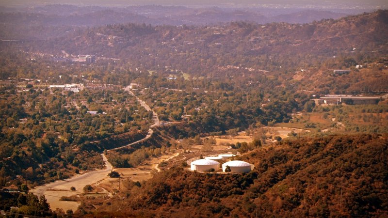
Half way on Fern Truck Trail.
Half way on Fern Truck Trail.
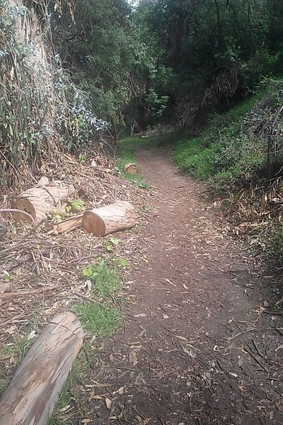
El Prieto trail. Beautiful area other than lots of poison oak!
El Prieto trail. Beautiful area other than lots of poison oak!
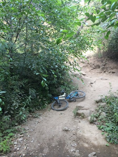
Watch your noggin, those bushes are dangerous!
Watch your noggin, those bushes are dangerous!
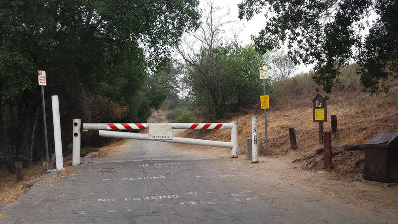
Go around this gate to begin the long climb to the top where Sunset Ridge Trail begins
Go around this gate to begin the long climb to the top where Sunset Ridge Trail begins
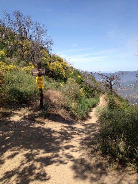
Start of the Sunset Ridge trail.
Start of the Sunset Ridge trail.
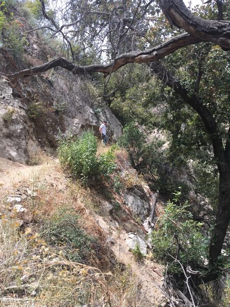
Singletrack section of the Sunset Ridge downhill - decent exposure throughout this section
Singletrack section of the Sunset Ridge downhill - decent exposure throughout this section
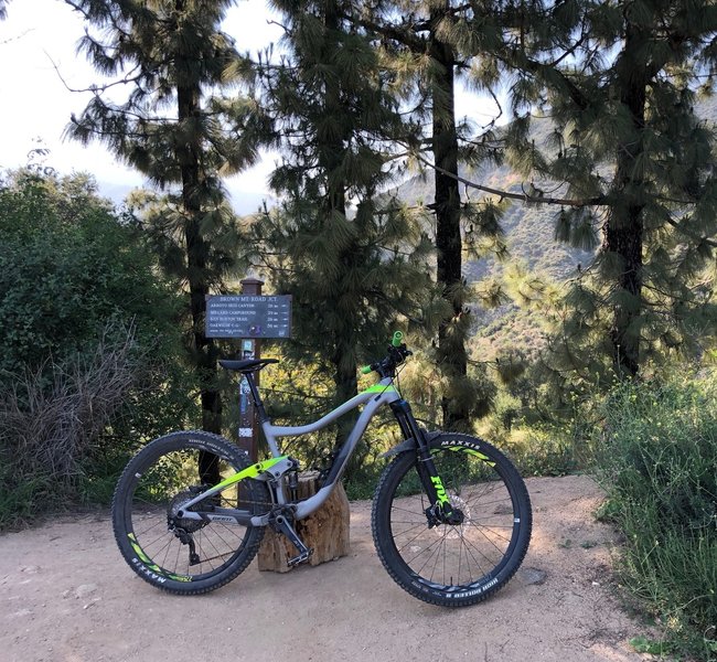
Signage at the saddle, the view before you keep heading up Brown to the very top and/or the start of Ken Burton.
Signage at the saddle, the view before you keep heading up Brown to the very top and/or the start of Ken Burton.
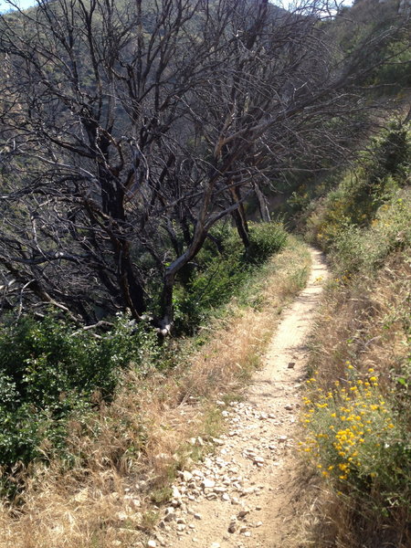
Sweet singletrack through some burned trees along the ridge.
Sweet singletrack through some burned trees along the ridge.
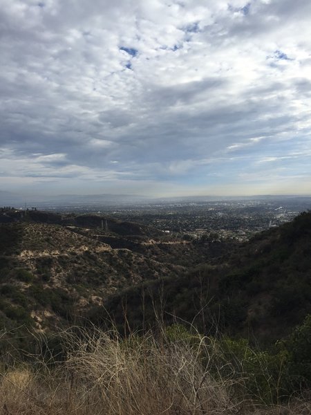
When the climb is over and you pause before the fun part....
When the climb is over and you pause before the fun part....
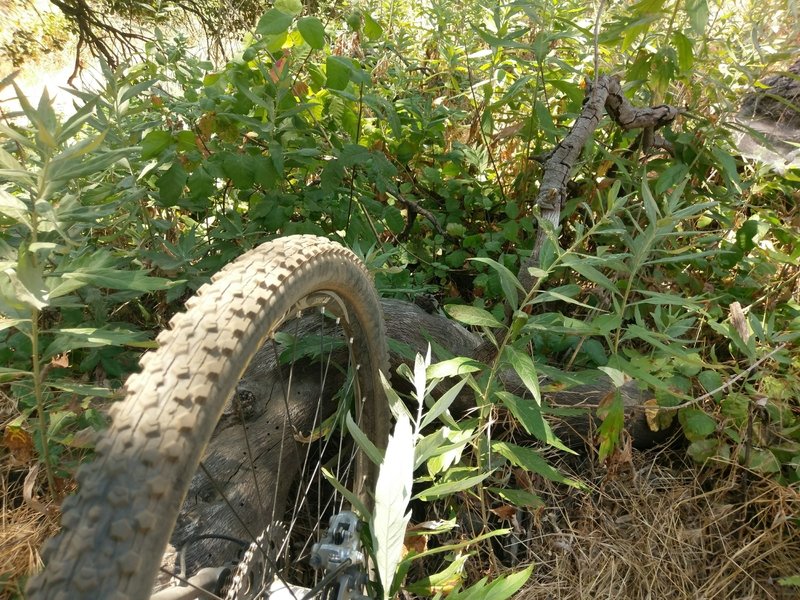
Mugwort is a natural antidote to Poison Oak exposure you can scrunch up some leaves and rub a poultice onto the affected skin. Just don’t uproot the plant.
Mugwort is a natural antidote to Poison Oak exposure you can scrunch up some leaves and rub a poultice onto the affected skin. Just don’t uproot the plant.
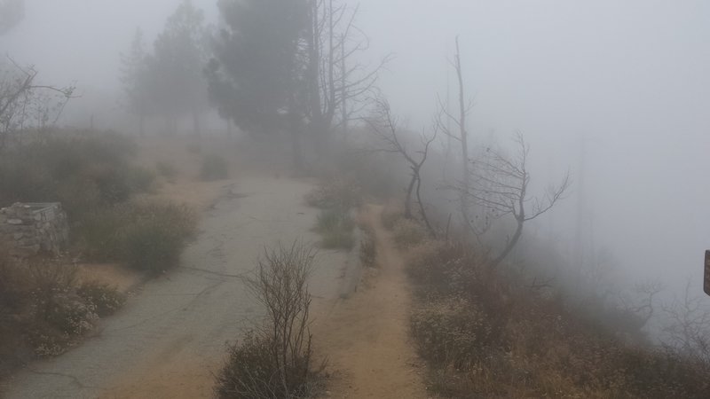
Halfway down Sunset Ridge the trail merges with a paved road. Keep right on the dirt to continue down Sunset Ridge trail. Picnic tables at the top of the paved area.
Halfway down Sunset Ridge the trail merges with a paved road. Keep right on the dirt to continue down Sunset Ridge trail. Picnic tables at the top of the paved area.
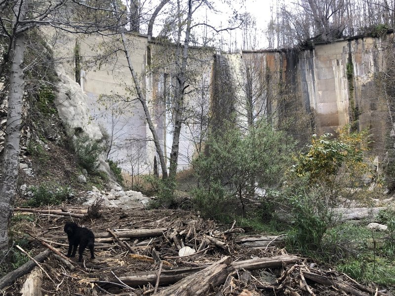
JPL Dam after a nice rain.
JPL Dam after a nice rain.
Bottom of the first section of singletrack descent on Sunset Ridge Trail
Bottom of the first section of singletrack descent on Sunset Ridge Trail
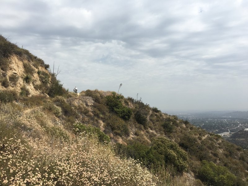
Middle of the climb after the El Prieto descent
Middle of the climb after the El Prieto descent
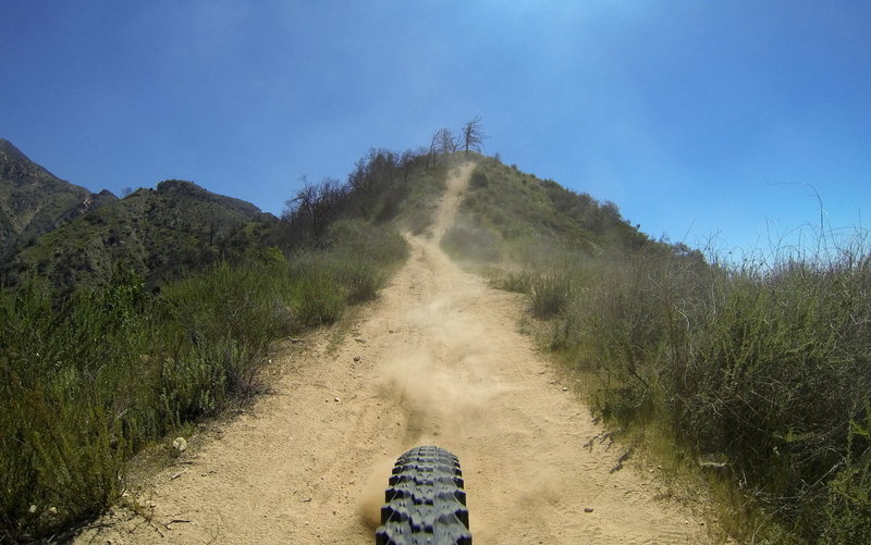
Dirt trails descending Sunset Ridge Trail
Dirt trails descending Sunset Ridge Trail
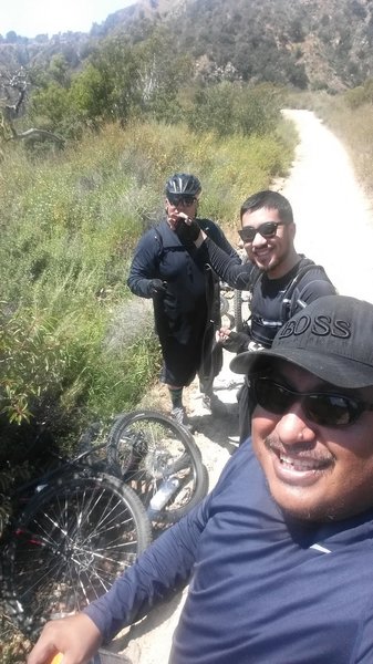
Prieto Canyon Trail stop for a flat tire.
Prieto Canyon Trail stop for a flat tire.
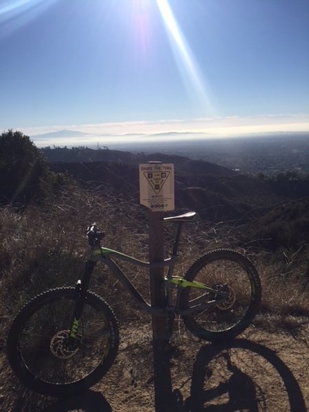
At the saddle.
At the saddle.
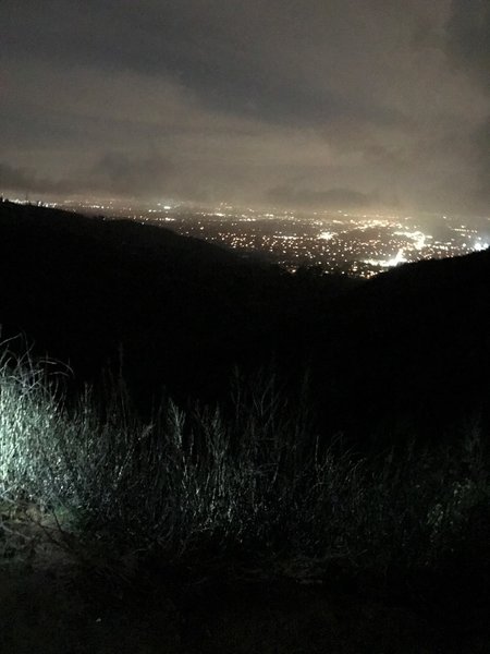
The nighttime view from the top of the hill can be beautiful. This was taken on the Velo Pasadena bike shop weekly ride before hitting El Prieto!
The nighttime view from the top of the hill can be beautiful. This was taken on the Velo Pasadena bike shop weekly ride before hitting El Prieto!
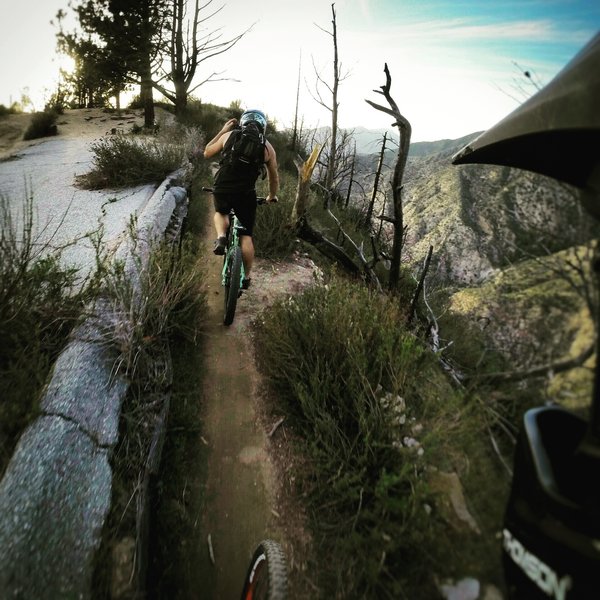
At pavements edge (Don't catch a pedal on the left side retaining posts and mesh.)
At pavements edge (Don't catch a pedal on the left side retaining posts and mesh.)
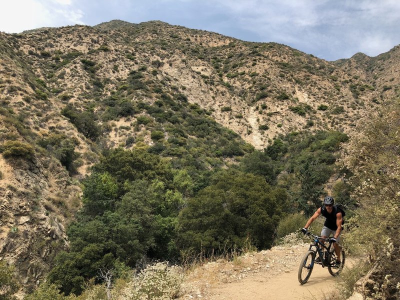
Starting the climb out after the Sunset Ridge downhill
Starting the climb out after the Sunset Ridge downhill
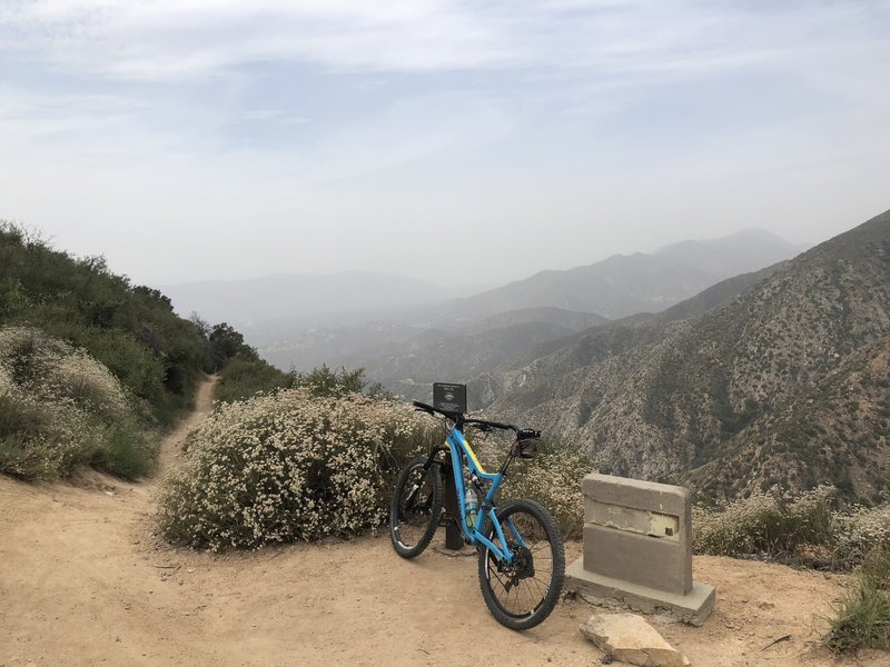
Top of Sunset Ridge, ready to drop into the singletrack after the initial climb
Top of Sunset Ridge, ready to drop into the singletrack after the initial climb
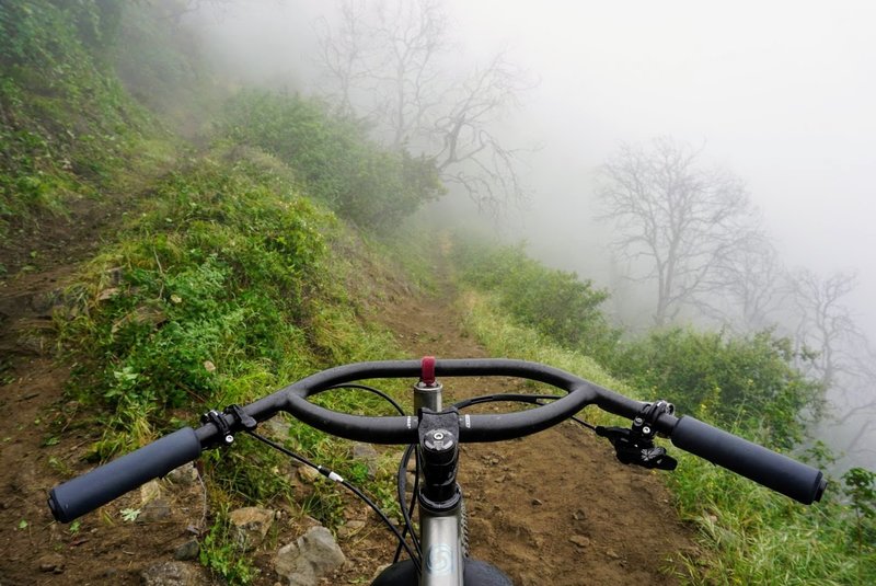
Switchback into the mist near the top of Sunset Ridge Trail. Everything green is Poison Oak.
Switchback into the mist near the top of Sunset Ridge Trail. Everything green is Poison Oak.
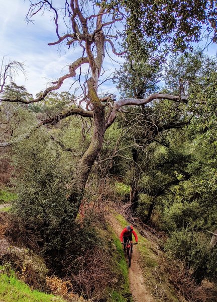
El Prieto alternates between tight switchbacks and long, flowy sections.
El Prieto alternates between tight switchbacks and long, flowy sections.
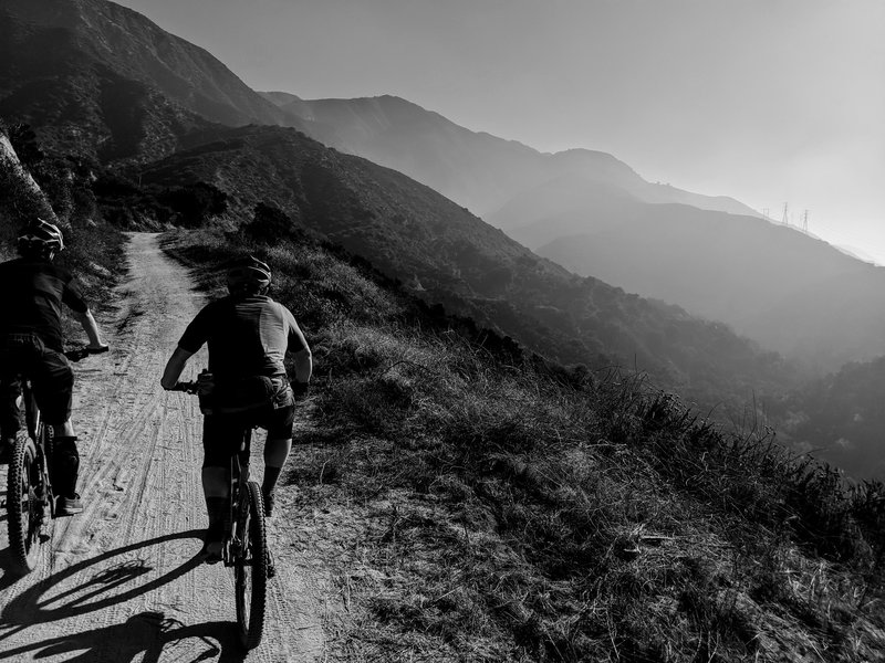
Skipping over to Millard
Skipping over to Millard
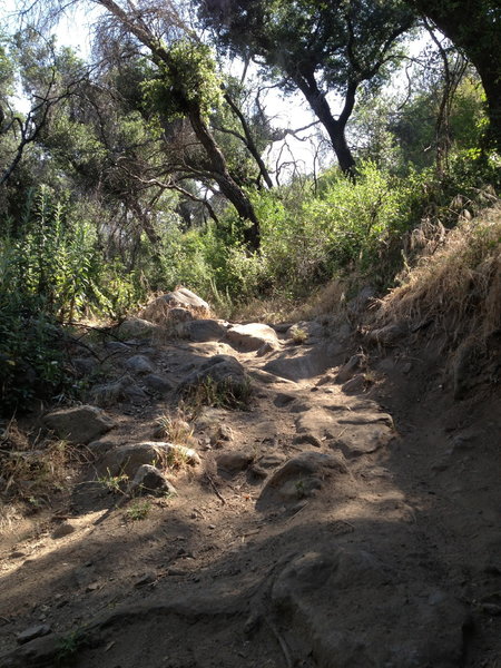
A bit of technical fun on the way down El Prieto.
A bit of technical fun on the way down El Prieto.
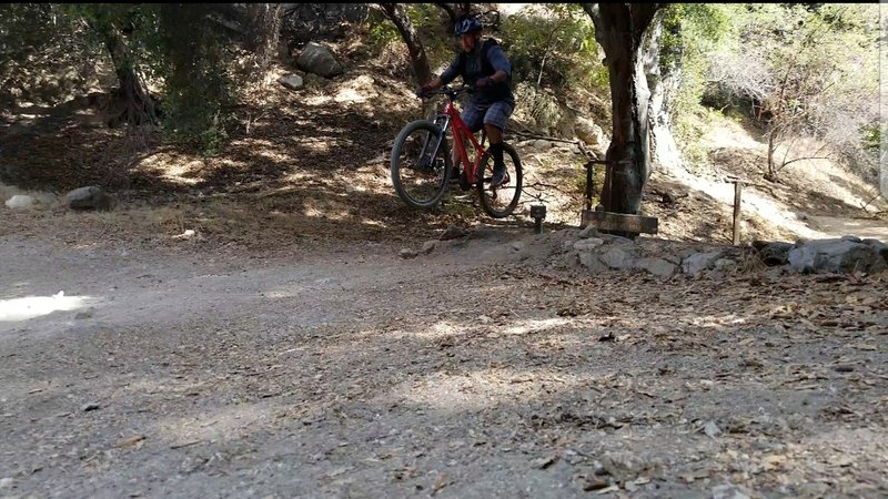
Jump finale at El Prieto
Jump finale at El Prieto
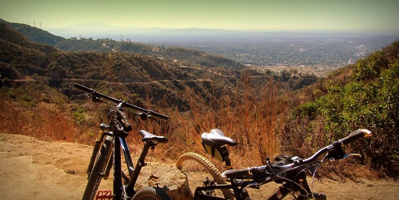
At Fern and Brown Trail junction flat spot.
At Fern and Brown Trail junction flat spot.
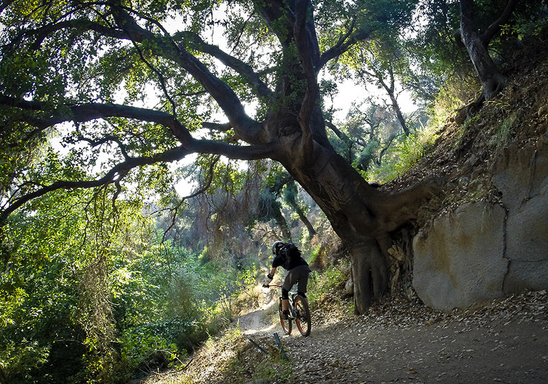
One of the flowy sections along the El Prieto Trail.
One of the flowy sections along the El Prieto Trail.
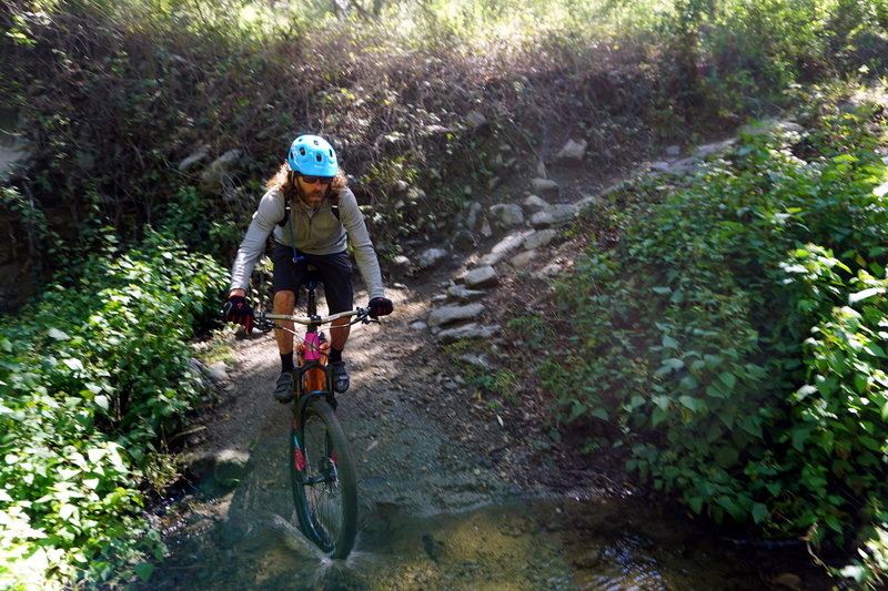
Patrick hits a switchback splashdown special near the top of El Prieto
Patrick hits a switchback splashdown special near the top of El Prieto
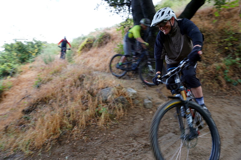
The crew drops in at the top of El Prieto.
The crew drops in at the top of El Prieto.
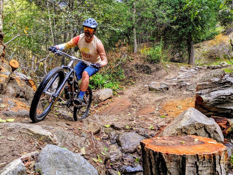
This trail is tirelessly maintained by volunteers like Erik, seen here riding past his sawyering handiwork.
This trail is tirelessly maintained by volunteers like Erik, seen here riding past his sawyering handiwork.
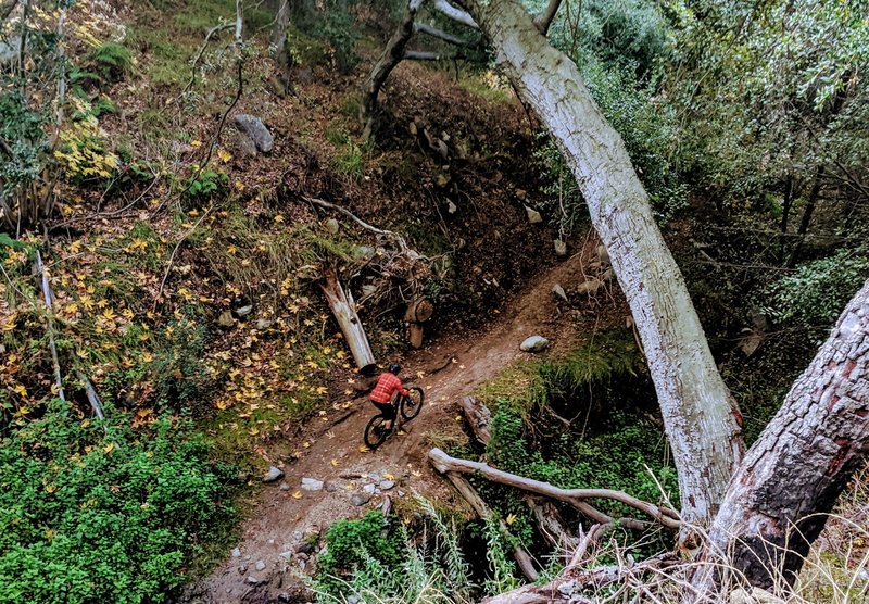
It's fun to jam down this trail, but you'll miss all the beauty of the canyon.
It's fun to jam down this trail, but you'll miss all the beauty of the canyon.
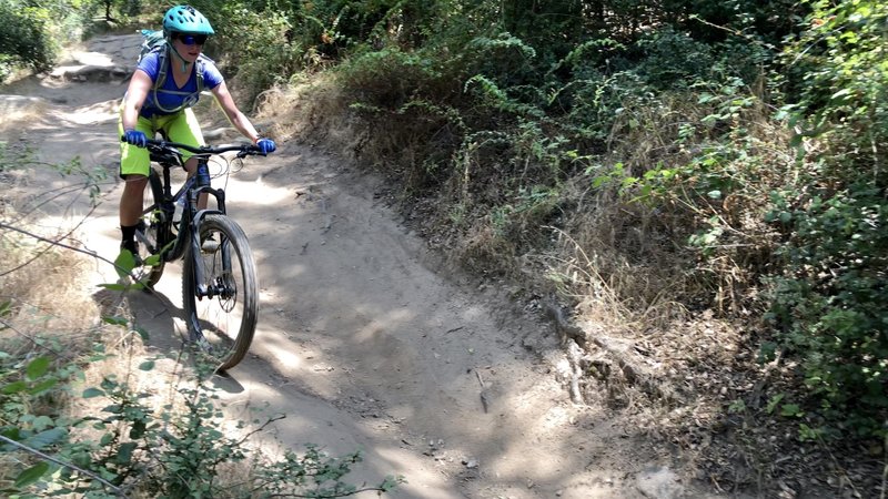
Jen keeping it rolling through dusty ruts. Great trail for the area!
Jen keeping it rolling through dusty ruts. Great trail for the area!