5.0 hr
Overview
Park at the Lower Oso Picnic area. Begin by taking the Lower Oso Trail up through the valley. It crosses back and forth across the road and makes a more interesting alternative to ridng the pavement. Once the trail ends find your way to the Upper Oso Trailhead. Skirt the right side of the large metal gate and begin your trip up the Buckhorn/Big Pine Road.<br><br>The dirt road starts off gradually with only a gentle incline for about the first 0.75 of a mile. Once the Santa Cruz Trail is passed on your left the gradient increases significantly. The steepest sections of the road come low in the ride but the grade never fully eases off. Wind your way up the road enjoying the views into the Santa Barbara backcountry. About 2.5 miles after going around the locked gate the road reaches a large flat area and the start of the Camuesa Connector Trail.<br><br>The Camuesa Connector trail takes off east from the Big Pine Buckhorn Road. There are no junctions or turns to make, just fast and fun singletrack. There are a few Rocky sections that can easily be walked, and some exposure you'll want to be wary of, but most of the trail is very suitable to the intermediate rider.<br><br>4 miles comes too soon as the trail drops down and crosses the Santa Ynez River before ending at Paradise Road. Turn right and cruise about 2.5 miles back to your car. If you're looking for an alternative to the road, try to pick up the river trail just on the left after the first river crossing on Paradise Road.
Trail Stats
17.0 km
475 m
701 m
306 m
—
Photos
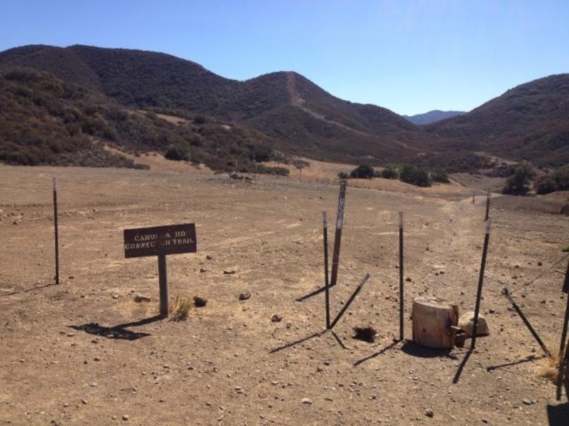
This is the start of the Camuesa Connector Trail, it will be on your right. 19 Oaks is another 0.5 mile on the left.
This is the start of the Camuesa Connector Trail, it will be on your right. 19 Oaks is another 0.5 mile on the left.
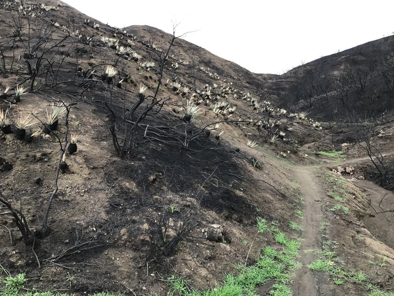
Despite the Rey Fire, life finds a way!
Despite the Rey Fire, life finds a way!
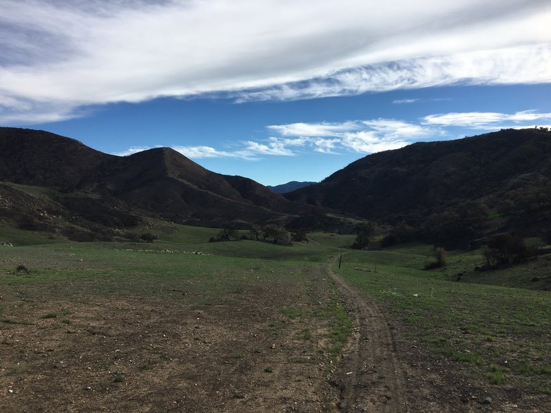
At the trailhead after recent heavy rains.
At the trailhead after recent heavy rains.
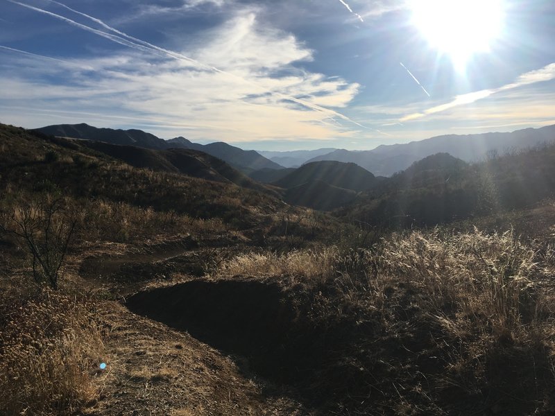
Start of 2nd downhill, some of the flowy-er dirt in SB county.
Start of 2nd downhill, some of the flowy-er dirt in SB county.
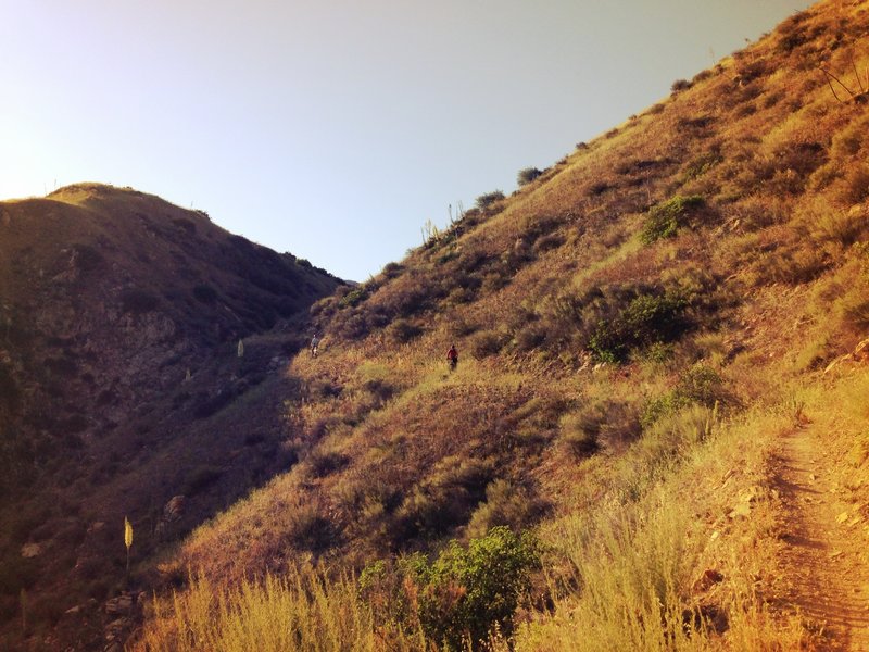
Canyon view
Canyon view

SBMTV on another work and ride. Check out SBMTV.org if you wanna dig!
SBMTV on another work and ride. Check out SBMTV.org if you wanna dig!
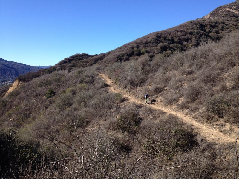
Cruising across a hill side
Cruising across a hill side
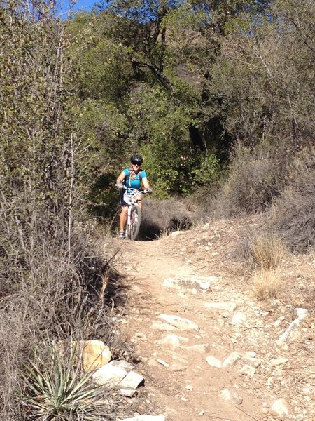
Riding the Camuesa Connector
Riding the Camuesa Connector
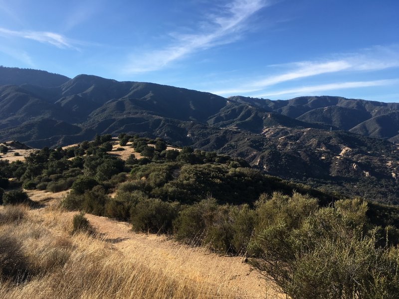
A little over half way on the connector, looking south towards Santa Ynez River, Arroyo Burro North and Rancho Oso, 3 really fun sections remaining!
A little over half way on the connector, looking south towards Santa Ynez River, Arroyo Burro North and Rancho Oso, 3 really fun sections remaining!
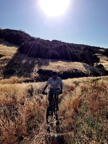
Meadow looking back at Upper Camuesa trailhead
Meadow looking back at Upper Camuesa trailhead
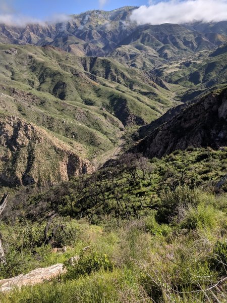
Did I stop to take this picture and take this picture because I was stopped. Breath taking scenery.
Did I stop to take this picture and take this picture because I was stopped. Breath taking scenery.
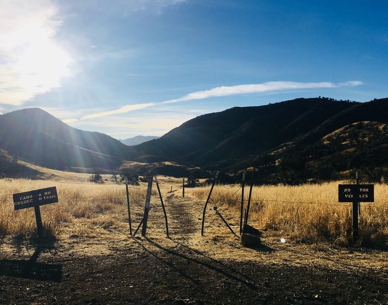
Camuesa connector upper trailhead on a sunny winter morning.
Camuesa connector upper trailhead on a sunny winter morning.
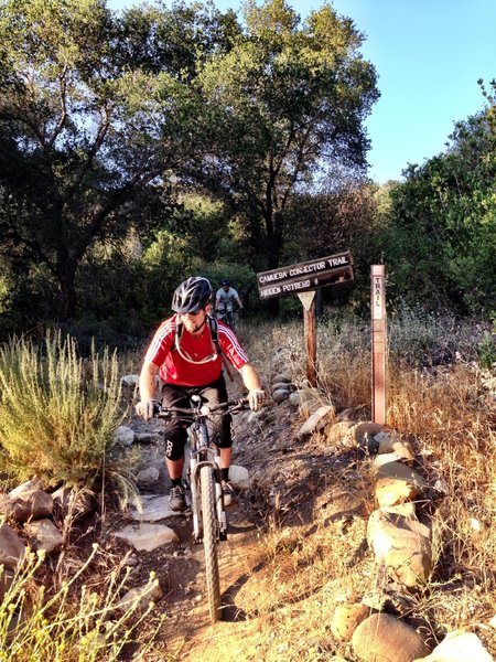
Must all good things have end?
Must all good things have end?