4.9 hr
Overview
Parking is deliciously free at the Santiago Hills Park, and a short ride to the trailhead. This 4-stage Enduro ride has a steady build to awesomeness, which is part of what makes it so fun. It's most thrilling section is the final downhill. But let's not get ahead of ourselves...<br><br>You'll start out with a short road ride (obey traffic laws, watch out for pedestrians on the sidewalk, etc.). Then you'll enter the trail center on a short, flat, fire road. Make sure to hang a left onto the Roadrunner Loop singletrack, which will provide more excitement than the flat, straight fire road on your way to the bottom of Chutes climb. <br><br>Chutes climb is a switchback beast, and will definitely get you huffing and puffing. Just when you think you've reached the summit, you'll realize that you still have to climb to the top of Barham Ridge, which is a fairly steep fire road. By the time you reach the true summit, you've done the hardest and longest climb of the day, and you are rewarded with a nice downhill.<br><br>Deer Trail is a loop with tight switchbacks on the way down with some opportunities for speed and air, but don't get too comfortable because you'll be heading right back up at the bottom of the fun downhill and you'll need your wits about you to clear a few tight uphill switchbacks and chunky, technical, and punchy climbs.<br><br>Now perched at the top of Barham Ridge once again, you may take a quick breather and soak in the view. You won't have time to absorb that view later, because you are about to absolutely bomb the Barham Ridge downhill and roll right into Cactus Canyon for a thrilling, fast downhill with great berms and technical features that will send the wind through those helmet vents to cool you off.<br><br>At the bottom of Cactus Canyon is a sharp uphill turn that leaves you climbing the short Bumble Bee Trail towards Grasshopper Trail. The climb is a small price to pay for the short but thrilling Grasshopper Trail. In the first third of Grasshopper Trail is a steep, rocky descent and a cheat
Trail Stats
16.4 km
506 m
324 m
152 m
—
Photos
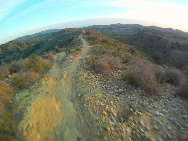
Looking down ridge from near the top of Chutes Ridgeline.
Looking down ridge from near the top of Chutes Ridgeline.
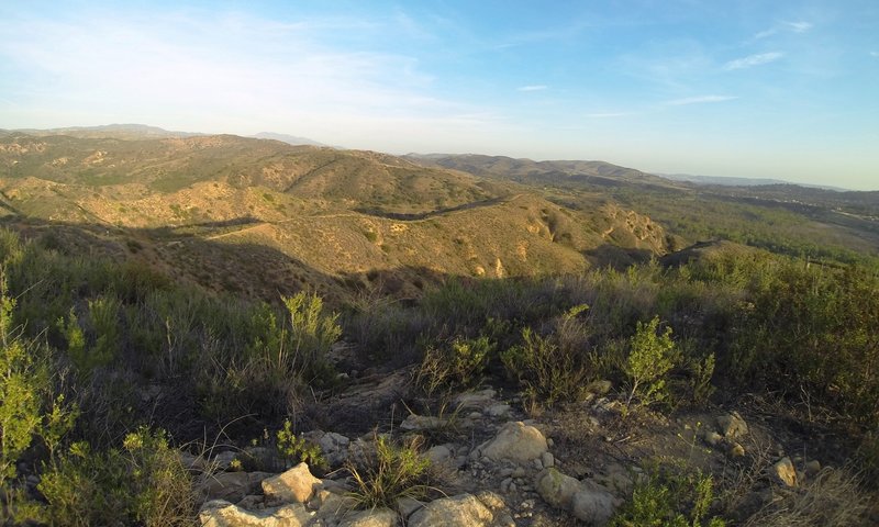
From the view point, looking east at Chutes Ridgeline in the distance.
From the view point, looking east at Chutes Ridgeline in the distance.
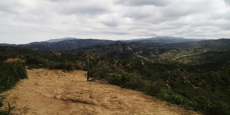
Looking eastbound on Barham Ridge atop of Chutes Ridge.
Looking eastbound on Barham Ridge atop of Chutes Ridge.
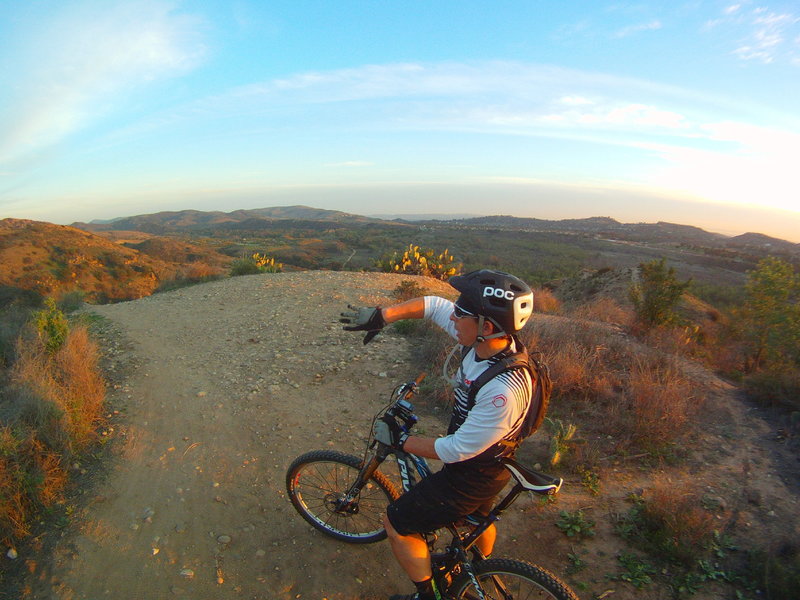
Discussing attack strategy for the steep, rocky drop on the left.
Discussing attack strategy for the steep, rocky drop on the left.
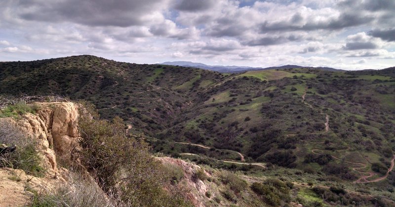
Looking south from Grasshopper trail.
Looking south from Grasshopper trail.
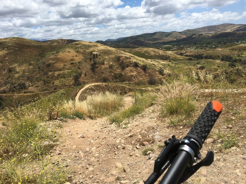
Top of midpoint climb/plunge.
Top of midpoint climb/plunge.
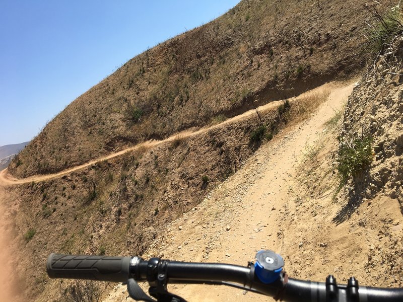
Near the top of Chutes, descending...
Near the top of Chutes, descending...
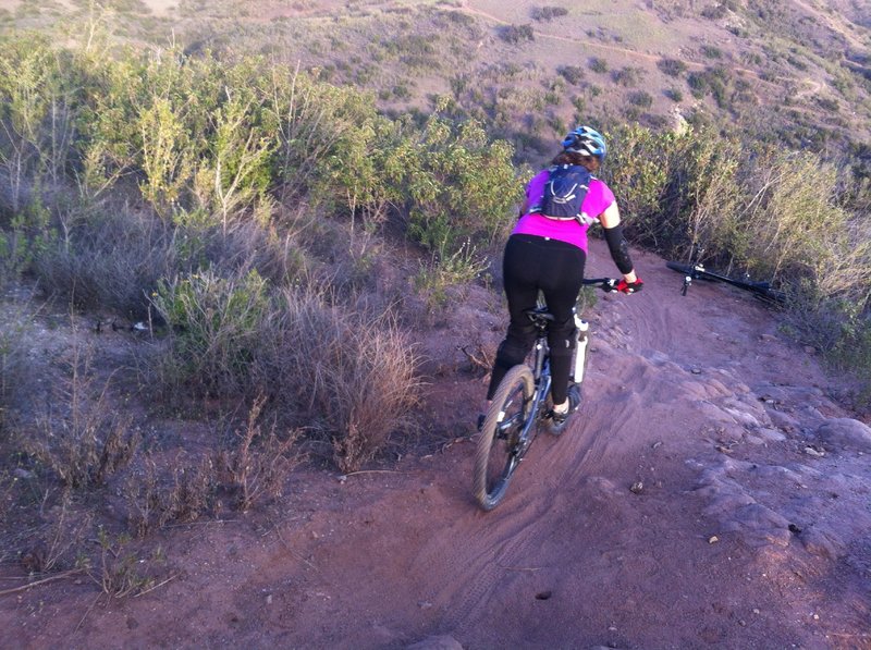
The first of many technical features on Hawk.
The first of many technical features on Hawk.
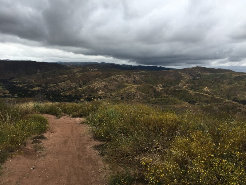
Overcast at the top.
Overcast at the top.
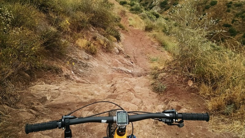
Techy section of Grasshopper.
Techy section of Grasshopper.
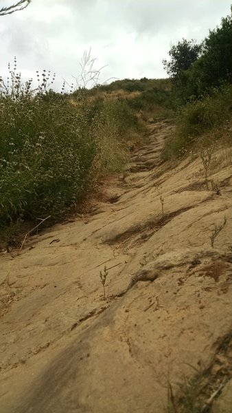
Waterfalls section, gnarly, but rideable.
Waterfalls section, gnarly, but rideable.
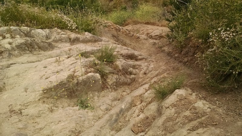
Experts-only drop!
Experts-only drop!
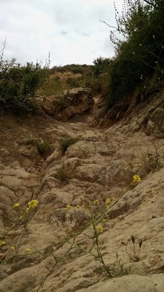
Getting into the ultra-gnarls!
Getting into the ultra-gnarls!
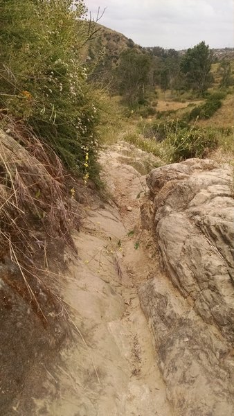
Gnarly section of Goat.
Gnarly section of Goat.
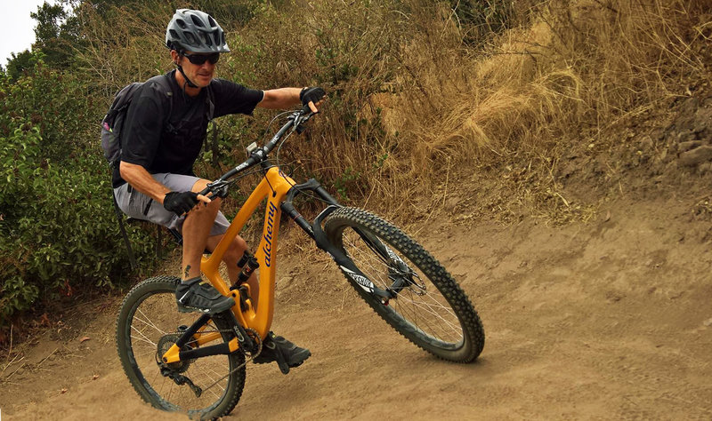
Climbing one of the many tight switchbacks on Goat.
Climbing one of the many tight switchbacks on Goat.
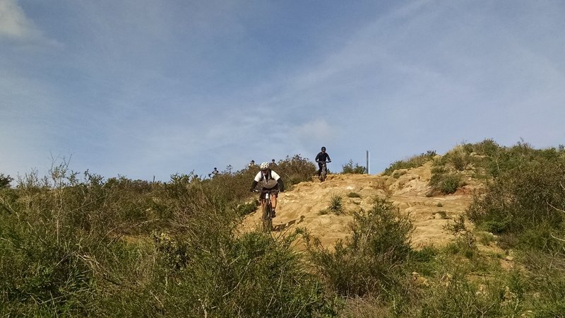
Droping into Chutes Ridge from Barham.
Droping into Chutes Ridge from Barham.
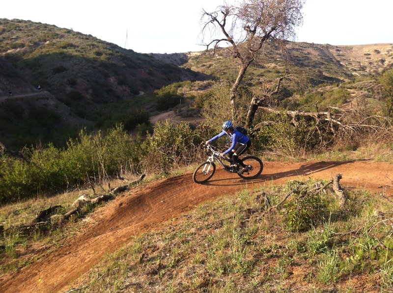
One of the last banked switchbacks near the bottom of Cactus Canyon.
One of the last banked switchbacks near the bottom of Cactus Canyon.
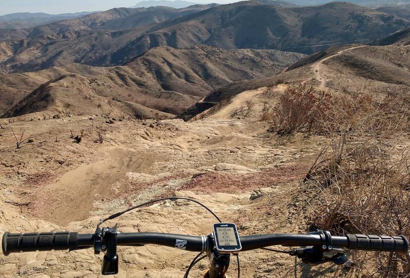
Top of Chutes Ridgeline...more fun, moderately-technical stuff!
Top of Chutes Ridgeline...more fun, moderately-technical stuff!
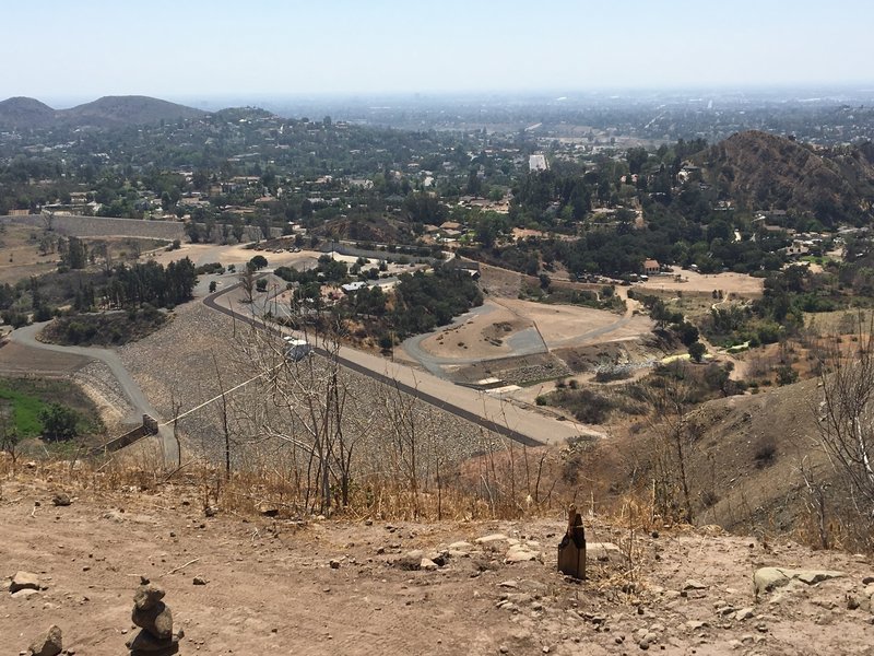
Santiago Dam from Lookout Point
Santiago Dam from Lookout Point
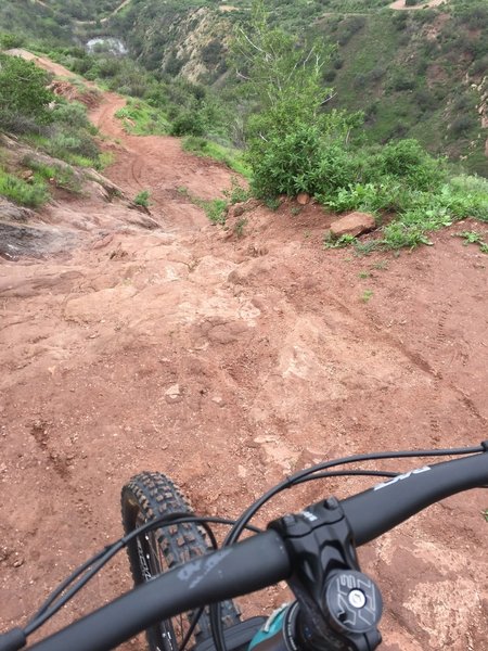
One of the steeper sections on Grasshopper.
One of the steeper sections on Grasshopper.
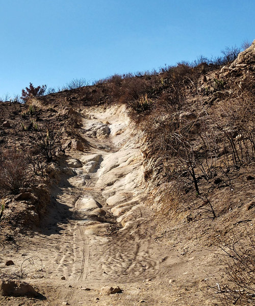
Fun, somewhat-techy climb, Anaheim Hills trail.
Fun, somewhat-techy climb, Anaheim Hills trail.
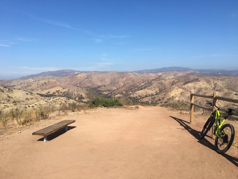
Top of Deer Trail
Top of Deer Trail
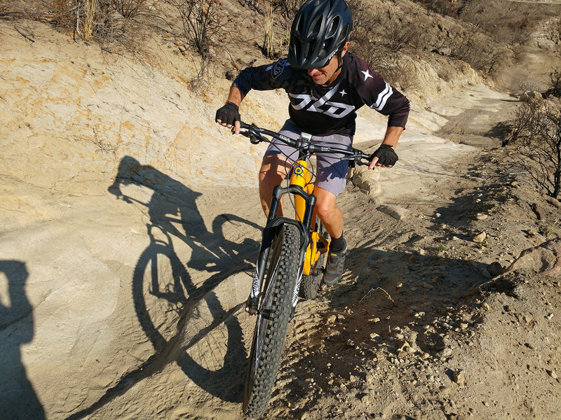
Nice little technical bit of climbing on Anaheim Hills.
Nice little technical bit of climbing on Anaheim Hills.
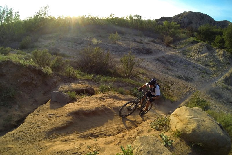
The iconic dry creek bed crossing that marks the beginning of Chutes.
The iconic dry creek bed crossing that marks the beginning of Chutes.
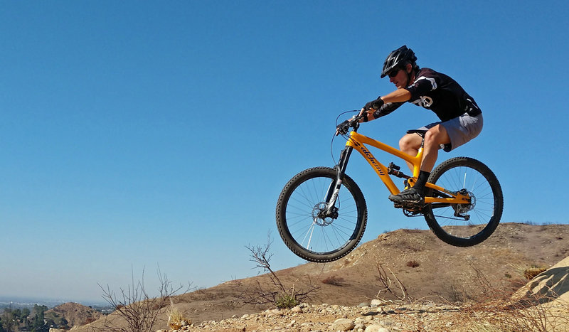
Really fun huck-spot on Chutes Ridgeline!
Really fun huck-spot on Chutes Ridgeline!