6.2 hr
Overview
First, drop a car at the parking area just east of Angelus Oaks next to the Angelus Oaks sign. Then drive east up Hwy 38 to the South Fork Campground and get ready for an awesome ride. <br><br>From here you combine two trails: Santa Ana River Trail (SART) from South Fork to Glass Road and Santa Ana River Trail (SART) 2E03 Glass Road to Middle Control Road.<br><br>These trails have tons of tree cover and wind in and out of the trees and along the hillside. Stop and enjoy the creeks, then bomb down the wide singletrack sections through the trees. <br><br>When you hit the bottom of the second section, turn left on Middle Control Road and climb three miles out to your car. This road is well-used by vehicles so be aware, otherwise, this climb is very mellow and the road is well maintained. If you are lucky you'll be treated with a small waterfall out of the rocks about two miles up.
Trail Stats
22.1 km
396 m
1944 m
1530 m
—
Photos
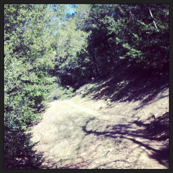
there it is... the trail.
there it is... the trail.
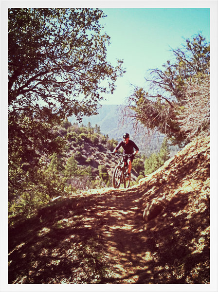
andy meadors riding, ohh my.
andy meadors riding, ohh my.
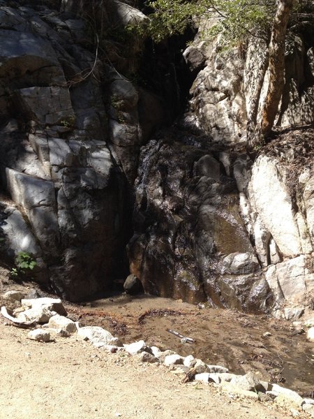
Waterfall off rocks
Waterfall off rocks
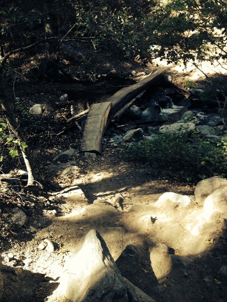
3rd Creek Crossing. Requires god control down a step bank to the narrow log bridge
3rd Creek Crossing. Requires god control down a step bank to the narrow log bridge
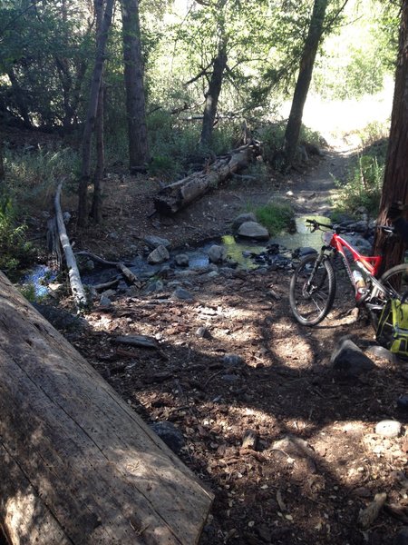
First Creek. Easy ride across. Nice spot to stop for a break.
First Creek. Easy ride across. Nice spot to stop for a break.
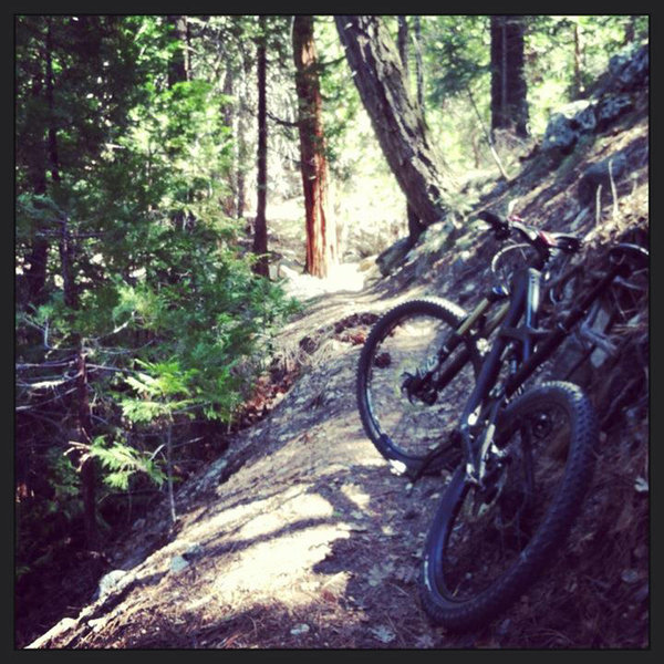
beautiful bliss - andy meadors
beautiful bliss - andy meadors
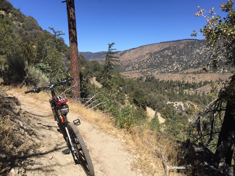
Some of the trail has a fair amount of exposure.
Some of the trail has a fair amount of exposure.
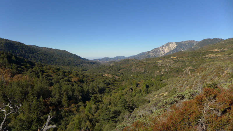
Looking down valley from Santa Ana River Trail
Looking down valley from Santa Ana River Trail
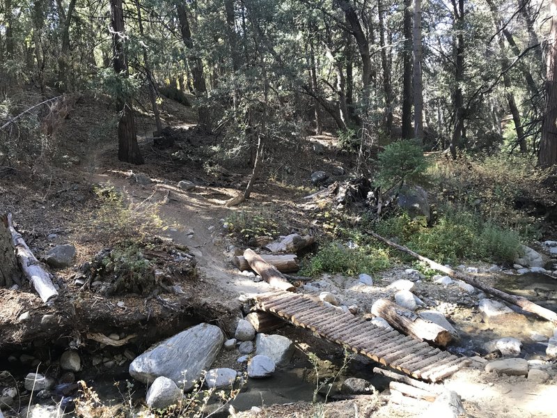
Tidy bridge crossing between switchbacks.
Tidy bridge crossing between switchbacks.
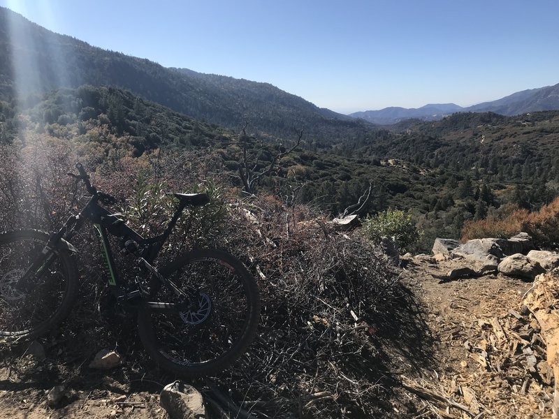
Nice view before diving back into the forest.
Nice view before diving back into the forest.
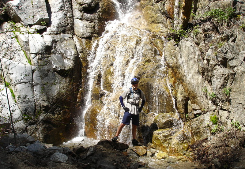
A waterfall on the Santa Ana River Trail ride. Next to fire road near Angelus Oaks.
A waterfall on the Santa Ana River Trail ride. Next to fire road near Angelus Oaks.