7.0 hr
Overview
Ride along Portola Pkwy, a busy suburb street, for about a mile and turn right after passing the Ralphs super market. The trailhead is on the left of Ralphs. Follow the snaking Borrego Trail for 1.5 miles through sandy, creek-bottom, tree and cactus-filled terrain that climbs only slightly. Be alert, there have been numerous mountain lion sightings through this sliver of a canyon. Ride with someone. Think and act BIG.<br><br>Borrego merges into a wide dirt trail, Mustard Road. The road twists steeply up to the left, disappearing behind the hillside (if you go left, climb the small singletrack on the right after a few hundred feet. This is a super fun, extra credit wrinkle called Cattle Pond Loop that re-joins Mustard Road close to where it left.) To the right, the trail bends around a trail kiosk, then onto a few more easy turns. However, don't be fooled, the easy turns hide the brutal 3/4th-mile climb to Four Corners. Around the last blind right turn, climb the final rise to Four Corners, a convergence of trails from all directions. With amazing views, a trail kiosk, benches and a drinking fountain, it's a great place for a break.<br><br>Climb the uphill trail to the left, behind the bench/kiosk. This will take you down to Santiago Canyon Rd, a 55mph twisting, paved road. Head east, downhill, for about a quarter-mile, very carefully cross the road and turn left, uphill, on Modjeska Grade Rd, an extremely steep, paved road. In less than a half-mile, slide past the low, rusted gate on the right into a large, dirt staging area with a great view of the mountains beyond. A well established singletrack called Santiago Truck Trail rises into the barren, rocky landscape colored by pale desert plants and infinite shades of brown.<br><br>The climb is long. There's a few steep slopes. But there's nothing long... AND steep. The views south and west over south Orange County are stunning. After nearly three miles of climbing, the trail lightly descends, flattens, then becomes a strip perched atop the mountains razor edge. Lo
Trail Stats
24.0 km
582 m
702 m
245 m
—
Photos
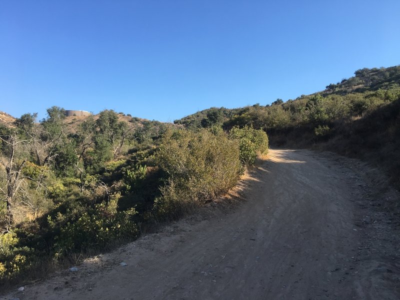
Final stretch of the Mustard Climb. If you look closely you can see the rest stop bench at the top.
Final stretch of the Mustard Climb. If you look closely you can see the rest stop bench at the top.
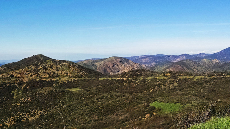
Climbing o'plenty!
Climbing o'plenty!
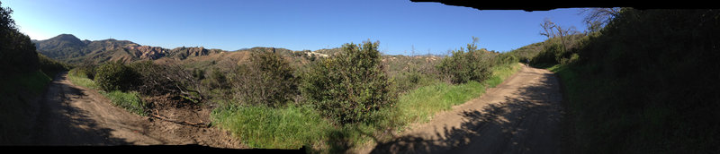
A panoramic shot of the view while you climb Mustard Road
A panoramic shot of the view while you climb Mustard Road
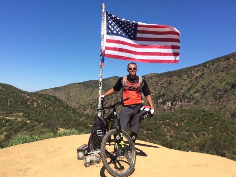
Out riding The Luge on a demo day!
Out riding The Luge on a demo day!
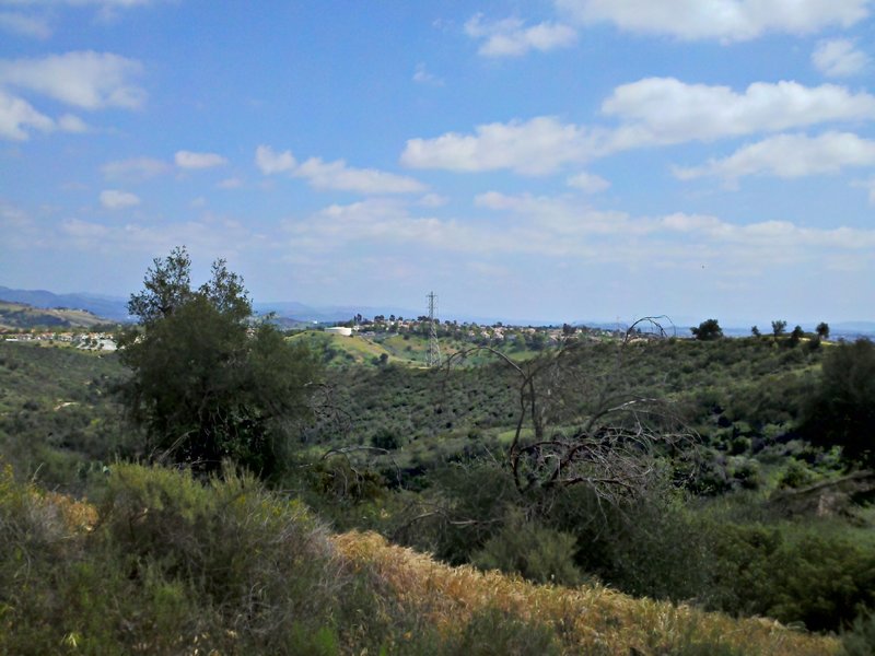
A South Easterly look from Four Corners
A South Easterly look from Four Corners
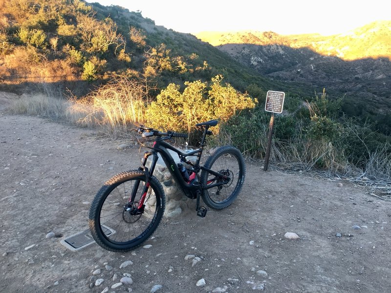
Top of Whiting Ranch.
Top of Whiting Ranch.
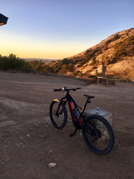
Top of Mustang.
Top of Mustang.
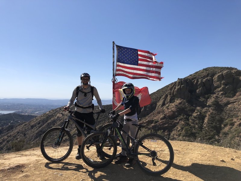
First time on the Luge was a great ride.
First time on the Luge was a great ride.
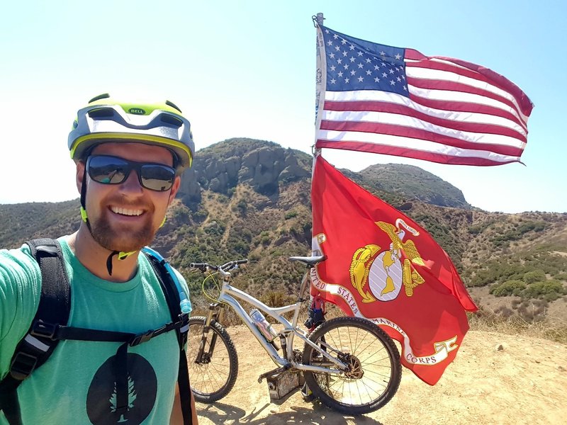
Cool overlook with a flag at roughly the halfway point.
Cool overlook with a flag at roughly the halfway point.
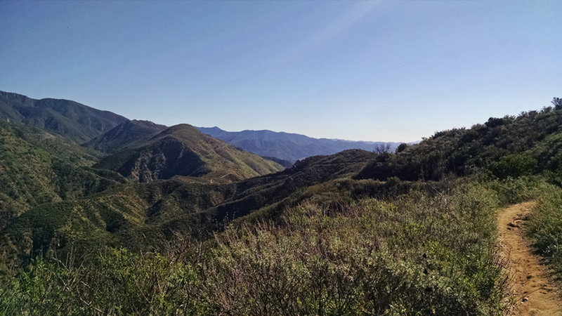
Classic Chaparral Singletrack.
Classic Chaparral Singletrack.
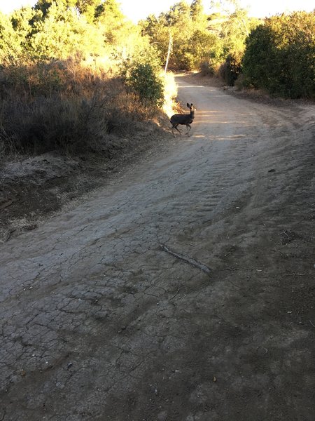
Looking for his or her mom
Looking for his or her mom
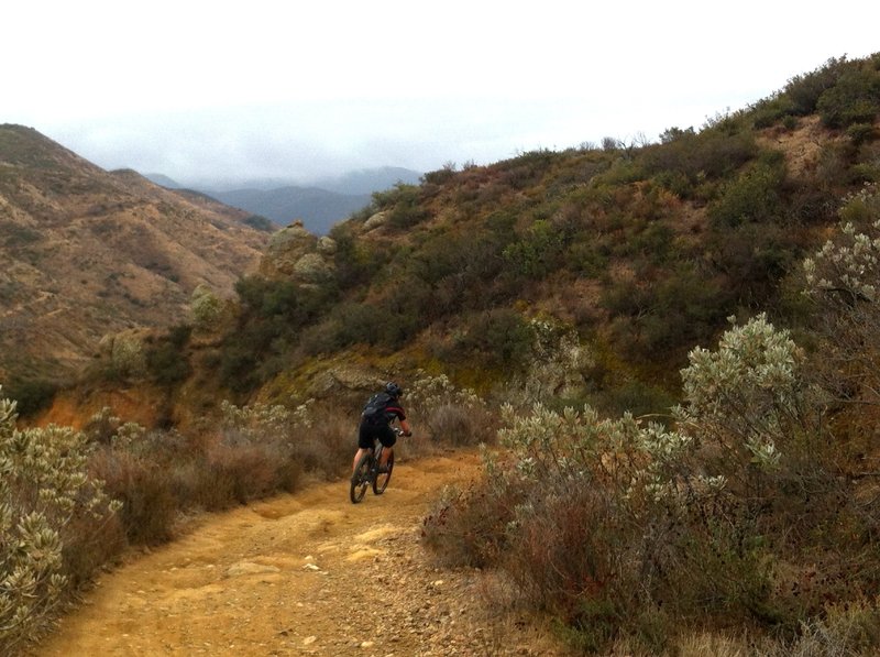
A short but welcome down after a lot of climbing
A short but welcome down after a lot of climbing
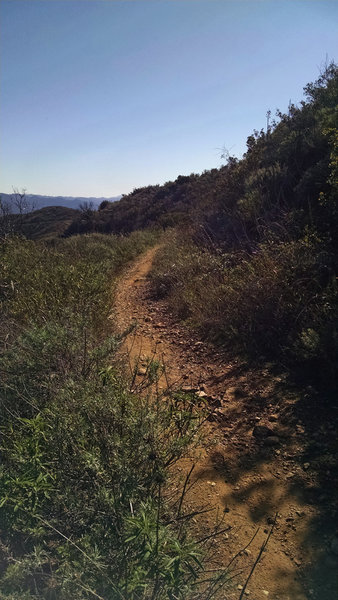
Santiago Truck Trail.
Santiago Truck Trail.
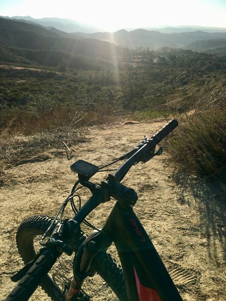
Looking down the beginning of the Luge climb
Looking down the beginning of the Luge climb
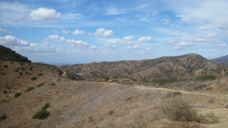
Santiago Truck Trail
Santiago Truck Trail
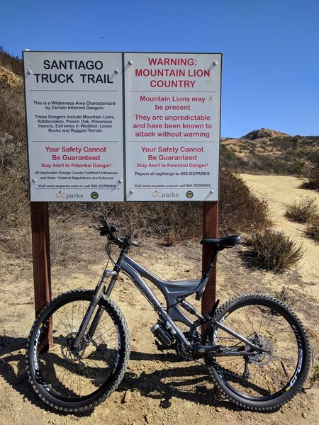
Santiago Truck Trail Entrance - start of the Luge loop
Santiago Truck Trail Entrance - start of the Luge loop
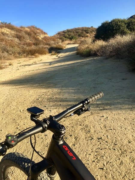
Starting up the dirt on the Luge
Starting up the dirt on the Luge
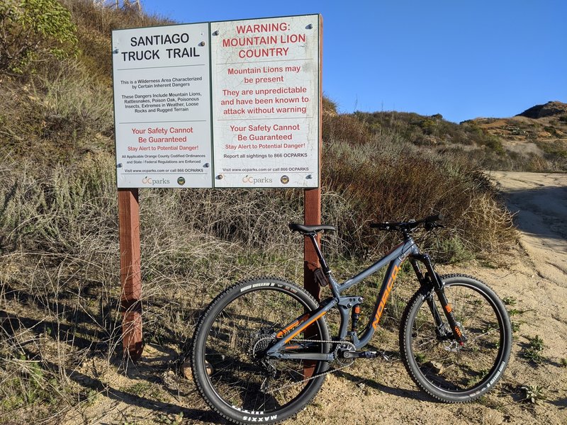
Entrance after a grueling uphill Modjeska Grade Rd.
Entrance after a grueling uphill Modjeska Grade Rd.
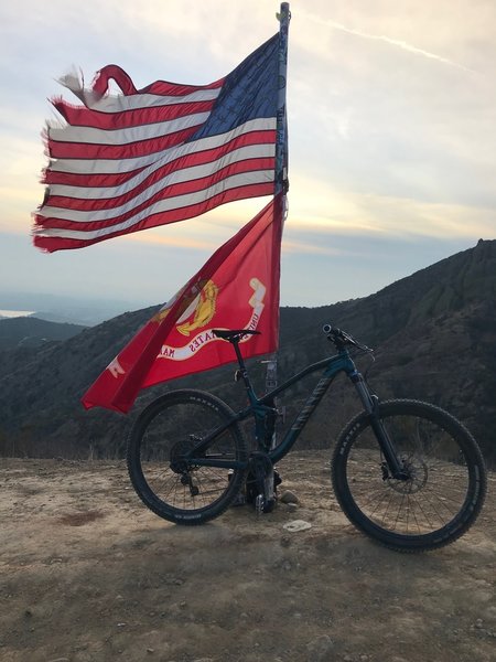
Top
Top
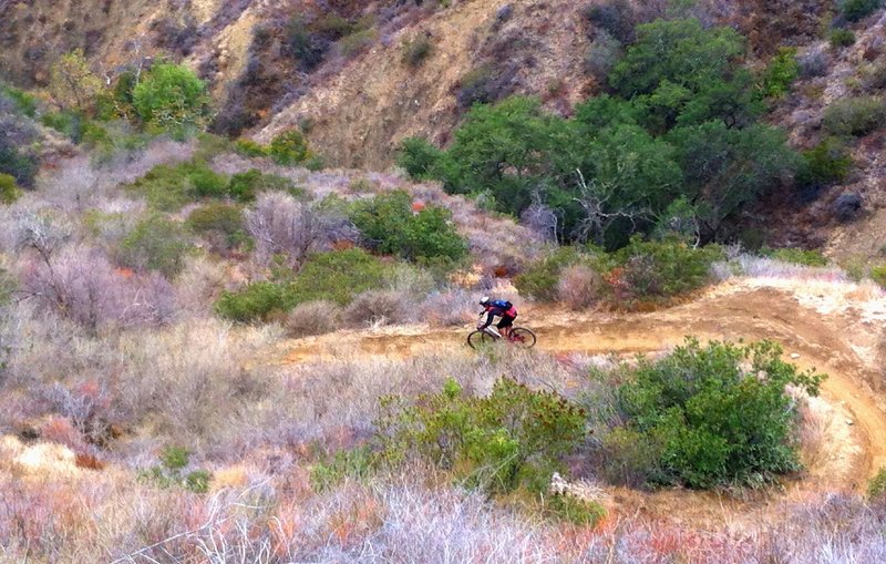
Like a sled course, The Luge snakes steeply down the cliff side.
Like a sled course, The Luge snakes steeply down the cliff side.
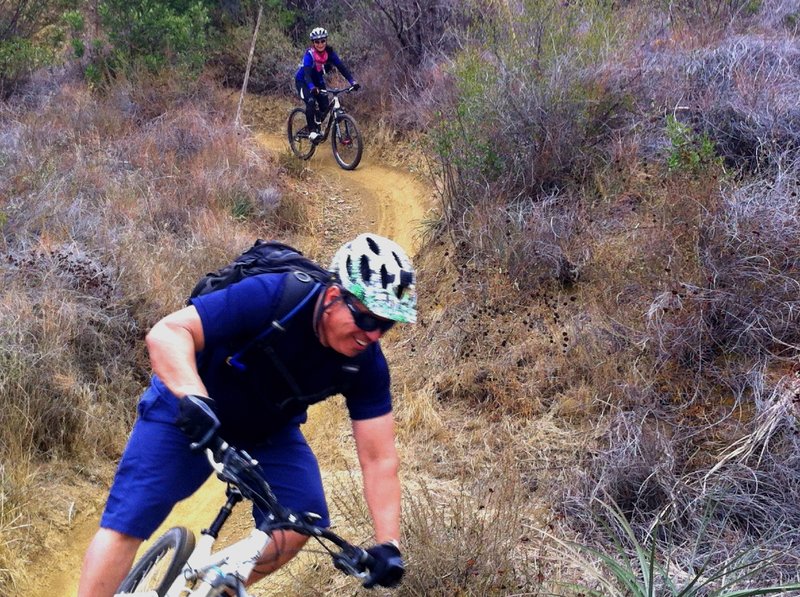
Always a good time on The Luge
Always a good time on The Luge
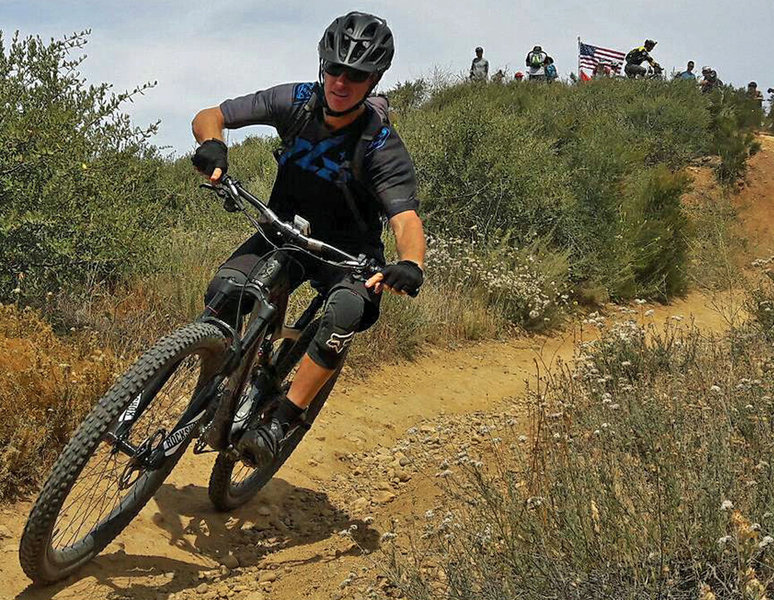
Dropping into 'The Luge'.
Dropping into 'The Luge'.
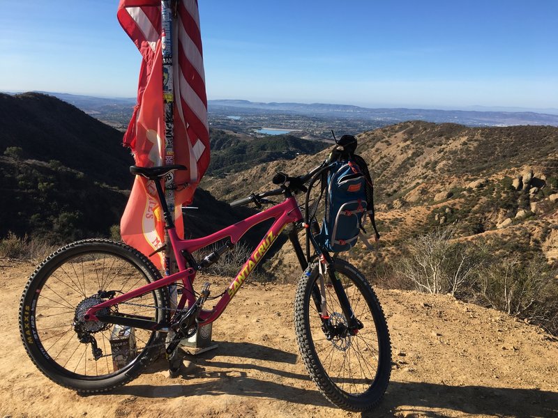
Election Day at the Flags!
Election Day at the Flags!
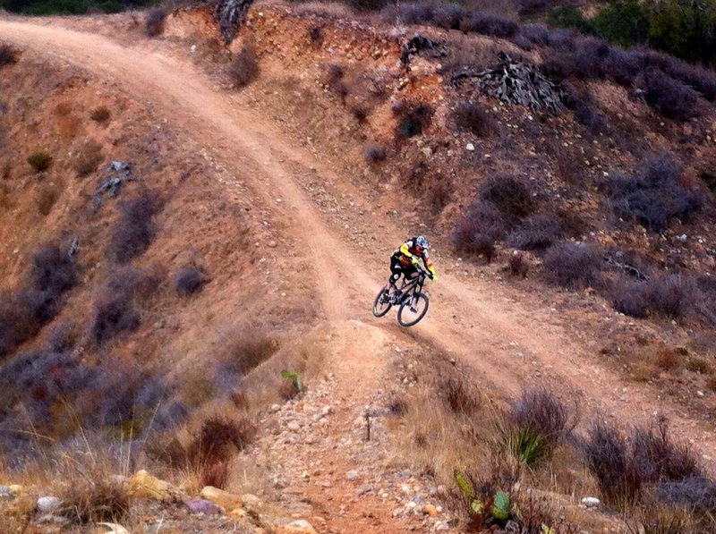
Off the wall
Off the wall
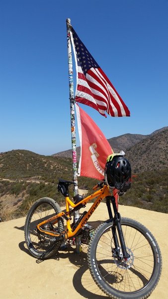
Top of the Luge taking a breather and getting the GoPro ready for the fun ride down
Top of the Luge taking a breather and getting the GoPro ready for the fun ride down
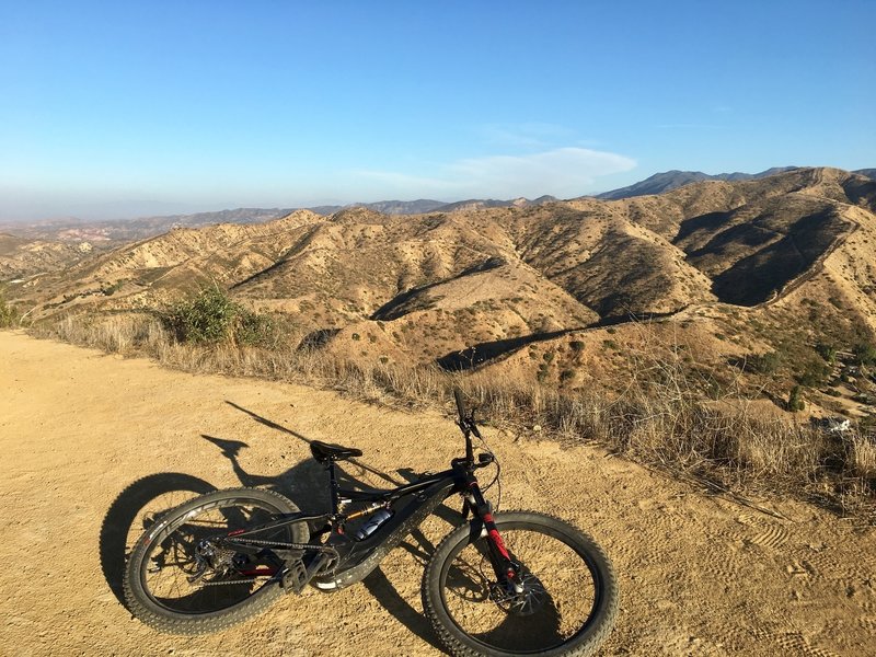
Looking southeast during the way up.
Looking southeast during the way up.
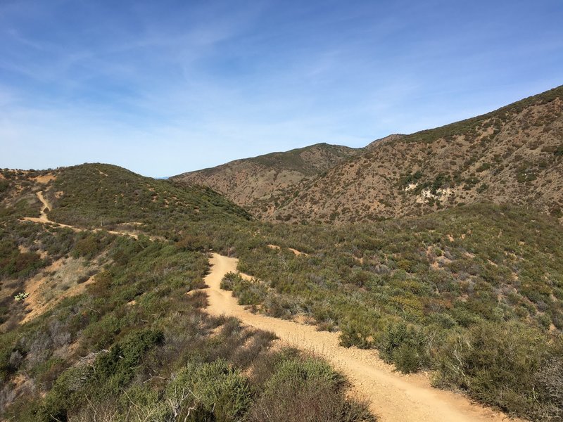
Amazing ride
Amazing ride
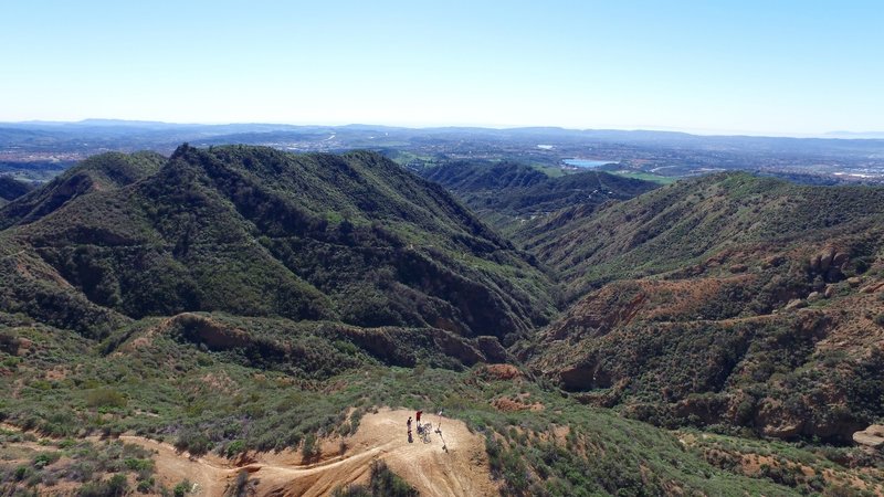
The scenery from The Luge Trail. Photo by DPCAero.com
The scenery from The Luge Trail. Photo by DPCAero.com
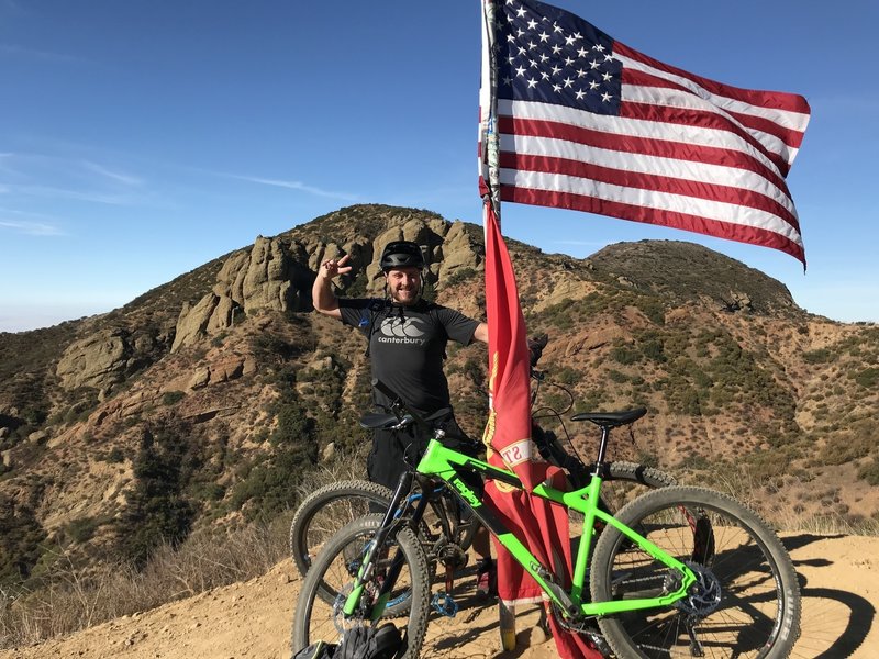
My first time riding ‘The Luge’ cautiously.
My first time riding ‘The Luge’ cautiously.
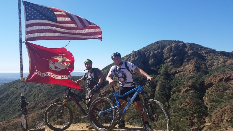
If you made it to the Flag pole - you made it half way! Now watch out for speed on the descent and some obstacles on the descent - be careful they come up fast! Better safe then sorry!
If you made it to the Flag pole - you made it half way! Now watch out for speed on the descent and some obstacles on the descent - be careful they come up fast! Better safe then sorry!
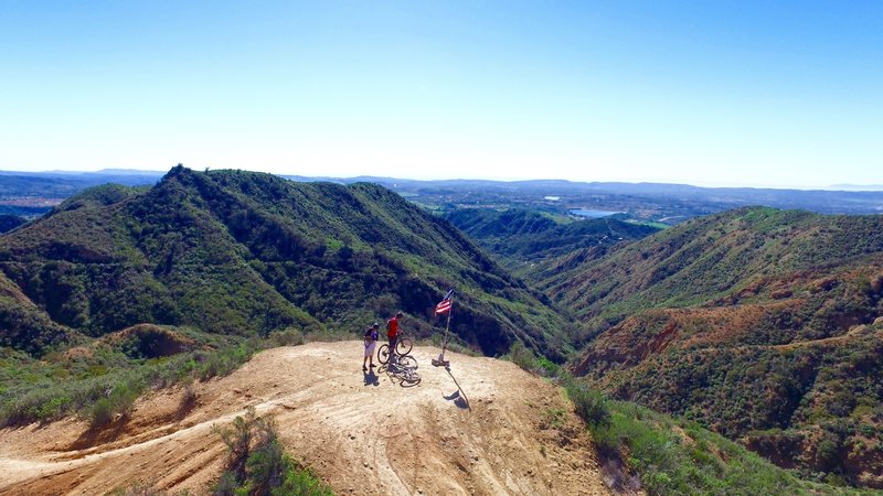
Flag pole on the top of the Luge. Photo by DPCAero.com
Flag pole on the top of the Luge. Photo by DPCAero.com
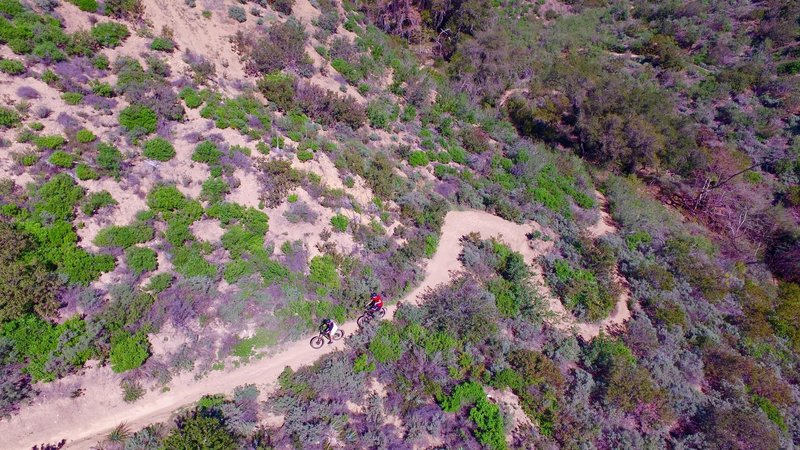
Down the Luge. Shot by DPCAero.com
Down the Luge. Shot by DPCAero.com