5.3 hr
Overview
Start the Romero Loop with a big climb up Romero Fire Road, a historic dirt road that climbs all the way to the top of Camino Cielo. It's grinding and steep at first but eventually mellows out into steady pedaling. At about a half mile up you'll see the bottom of Lower Romero on your left; this is where you'll drop out. Its half a dozen miles up so dont get too much into the thousand mile stare; youll not want to miss the views of the Channel Islands and the Pacific Ocean. <br><br>At about 4 miles you'll come to a four way intersection of trails which divides the Upper and Lower Romero trails. Upper Romero feeds in from above and Lower Romero drops down below. You'll continue straight but the remaining ~2.5 mile climb ahead is unshaded and taxing. Taking Lower Romero down from here is a valid option, especially if you're feeling the toll of the first few miles of climbing. <br><br>After a particularly breathtaking view of the ocean the trail continues around the mountain to an unexpected pass where you'll stay right as the trail forks. The trail connects with a paved road on which you'll travel downhill for a few hundred feet before taking what looks like a foot path to your right where the pavement stops. You'll have to walk your bike up this section through a couple fences that look impassable but have openings for hikers/bikers.<br><br>Once the climb tops out, the route traverses the ridge to the east to access the top of Upper Romero. There will be another fork but you can avoid the vicious wall to your right by staying left and wrapping around the hill. The next fork will come up soon and you'll head right, toward the first switchback. Your sweet reward awaits, a two-part descent that combines the essentials of great trail riding into one experience. <br><br>Start with Upper Romero, a fast section of trail. The first few switchbacks on the way down are very tight and difficult to see due to overgrowth so check your speed. Parts of the trail are less than 1 foot wide and loose so take caution. After the init
Trail Stats
16.5 km
721 m
961 m
271 m
—
Photos
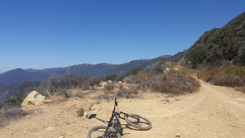
The fire road on the way up, almost to the top. This is one of several little lookouts on the way up, past the singletrack intersection.
The fire road on the way up, almost to the top. This is one of several little lookouts on the way up, past the singletrack intersection.
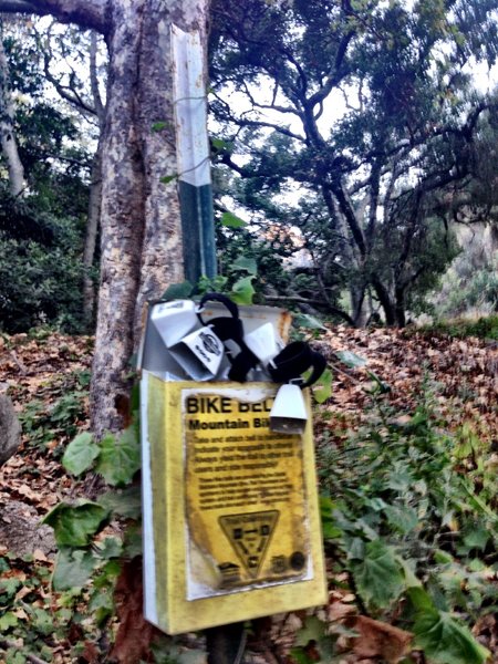
SBMTV bell box
SBMTV bell box
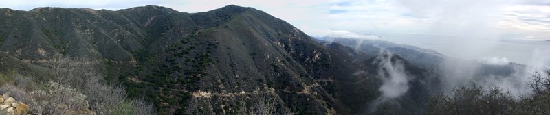
Romero Fire Road
Romero Fire Road
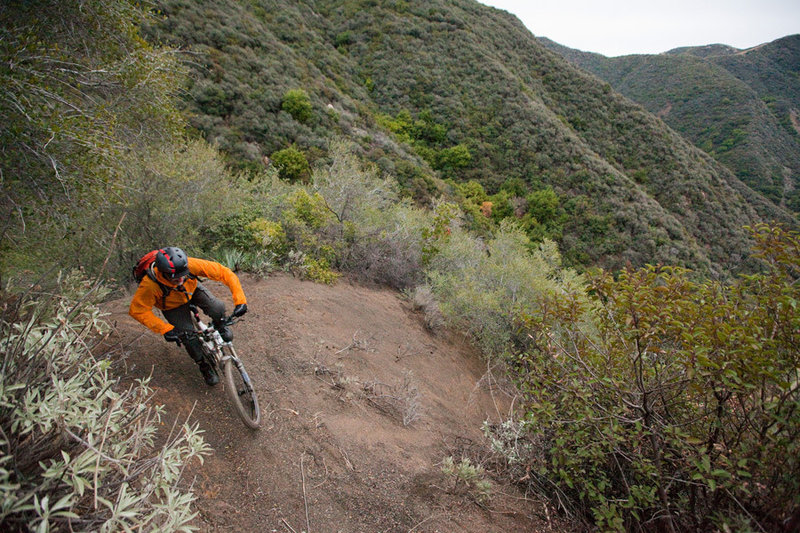
High on the Romero singletrack
High on the Romero singletrack
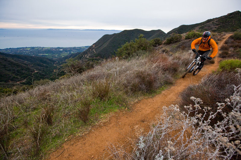
Riding across the ridge towards the top of the Romero singletrack
Riding across the ridge towards the top of the Romero singletrack
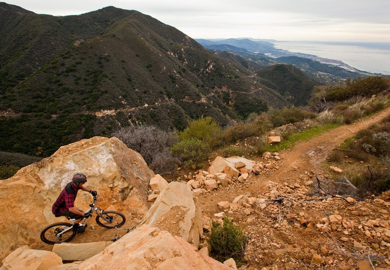
Killer views from the climb up Romero Road
Killer views from the climb up Romero Road
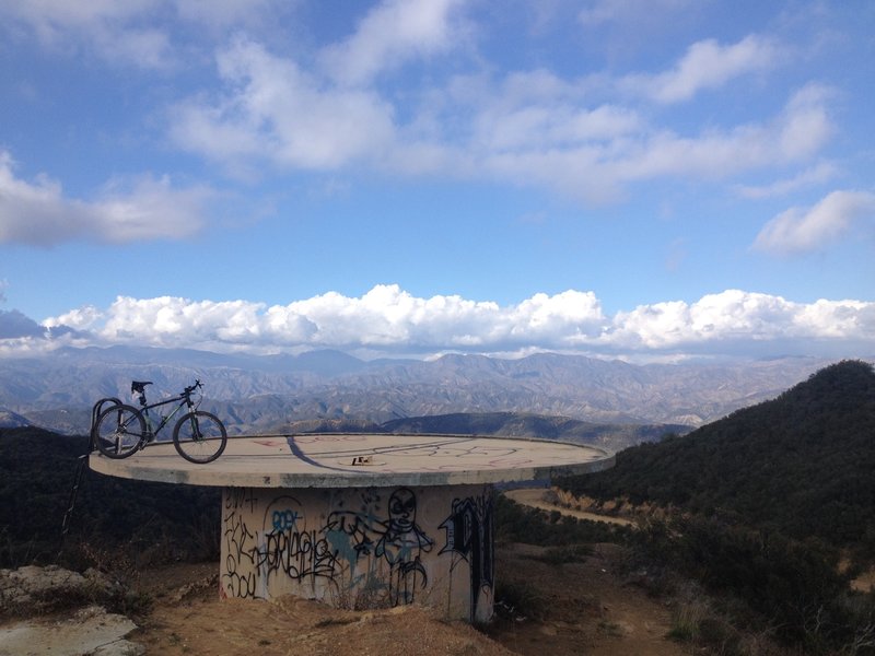
Cistern overlook where the fire road meets Camino Cielo. Trail continues to the right where the paved road turns to dirt again and is a steep hike-a-bike up.
Cistern overlook where the fire road meets Camino Cielo. Trail continues to the right where the paved road turns to dirt again and is a steep hike-a-bike up.