6.7 hr
Overview
To access this ride, head southwest on the Aliso Creek Trail as it gradually heads downward for a mile and a half. At the first junction, turn right onto the Wood Canyon Trail. This wide, multi-use path climbs steadily up the canyon, passing a number of singletrack trails that wind down the hills on either side. <br><br>After a total of four miles from the start, you'll notice an uptick in grade. Look to the left for one of the popular and difficult trails in the park, Lynx. Continue the climb on Wood Canyon Trail, this time looking to the left for the turn onto the east end of Cholla Trail. <br><br>This is a tough, singletrack climb. Featuring rocky, sustained grades and a few obstacles to get over, expect to walk sections here, especially after climbing over 4.5 miles from the parking lot. At the top of Cholla Trail, hang a left and finish the first of two major climbs on this ride using the West Ridge Trail. <br><br>At the 5.5-mile mark, you've made it to the start of the first awesome descent. Continue down West Ridge Trail and look to the left for the start of Rock-It Trail. This is a classic DH with some tricky sections on slickrock-like tread. Be aware of other trail users and always yield right of way.<br><br>After just under 1.5 miles of white-knuckle descent, the trail will bend to the left (north) and come out to the Coyote Run Trail. Continue the more-gradual descent turning right onto Coyote Run Trail and look for the start of the next big climb on Mathis Canyon Trail. <br><br>Turn left onto Mathis Canyon Trail and begin the last major climb of the ride with a relentless uphill grade back to the top of the ridge. After a mile of climbing, the trail will bend to the left (west) with a great spot to stop for a breather and to *try* to enjoy the views. <br><br>A few hundred yards further, you'll pass the expert trail, Car Wreck, and then join back with the West Ridge Trail for the final push to the Top of the World. There is a parking area here, so shuttles are an option with multiple vehicles. <br><br
Trail Stats
23.7 km
468 m
304 m
28 m
—
Photos
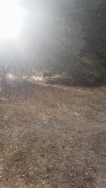
Wildlife on Wood Canyon Trail past the second creek crossing heading toward Cholla.
Wildlife on Wood Canyon Trail past the second creek crossing heading toward Cholla.
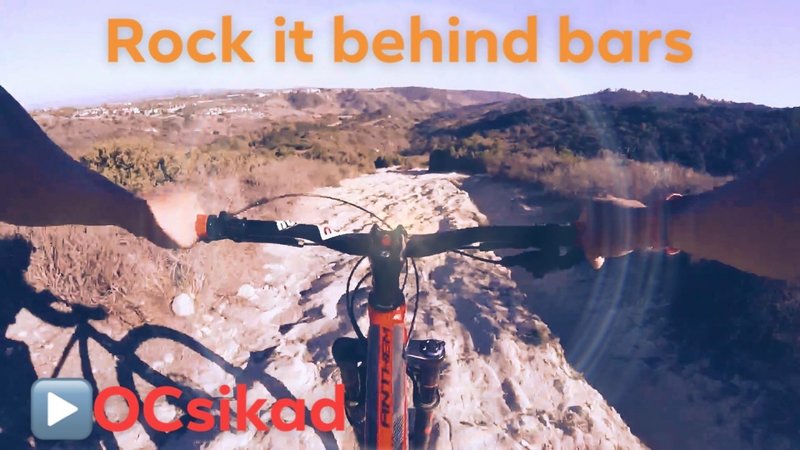
The view of Rock it Trail behind Bars...
The view of Rock it Trail behind Bars...
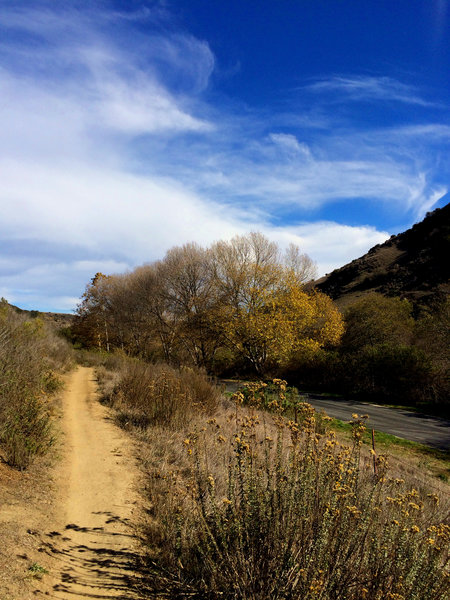
Golden autumn day
Golden autumn day
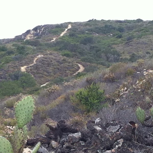
Car Wreck Trail as seen from Mathis Canyon Trail
Car Wreck Trail as seen from Mathis Canyon Trail
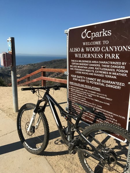
Top of the World offers a beautiful view of Laguna before hitting Telonics.
Top of the World offers a beautiful view of Laguna before hitting Telonics.
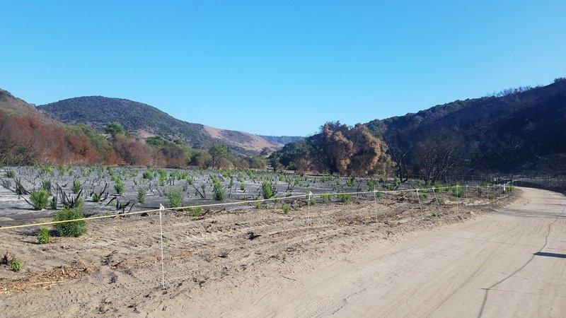
Greenshoots after the fire
Greenshoots after the fire
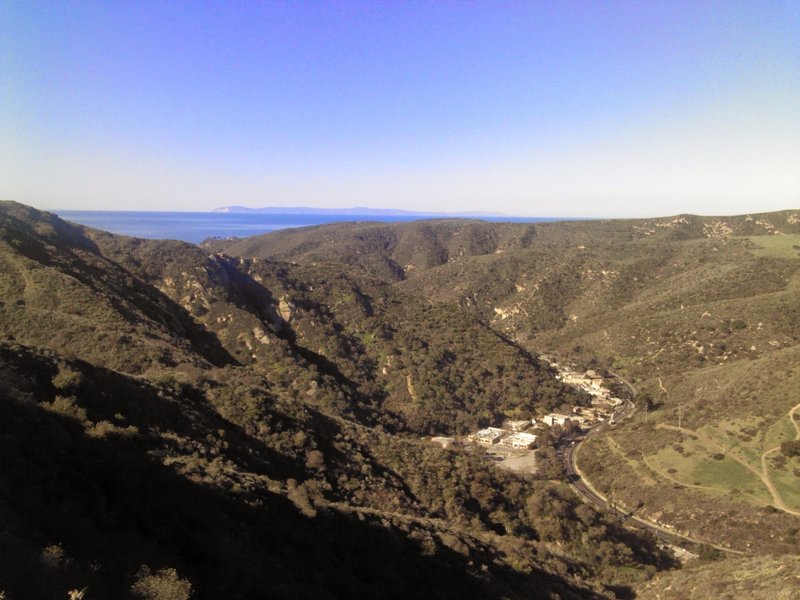
Top of Mathis by the fire hydrant overlooking Laguna Canyon Road with Catalina Island in background.
Top of Mathis by the fire hydrant overlooking Laguna Canyon Road with Catalina Island in background.
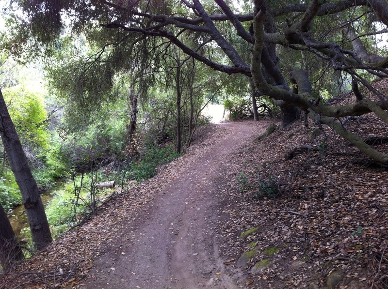
Coyote Run - Nice.
Coyote Run - Nice.
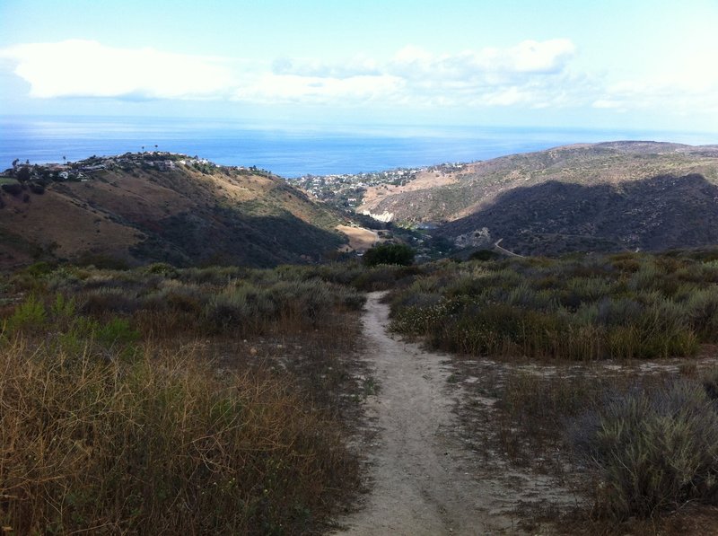
Top of the World
Top of the World
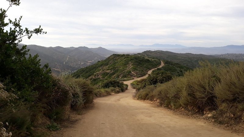
West Ridge Trail
West Ridge Trail
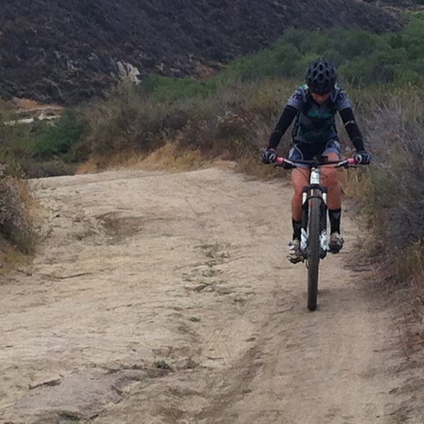
Just keep spinning!
Just keep spinning!
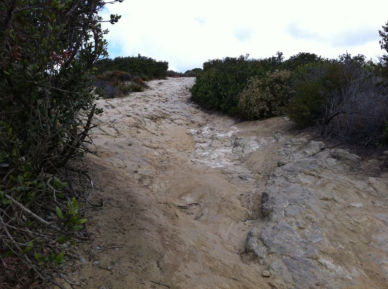
This is why they call it Rock-It.
This is why they call it Rock-It.
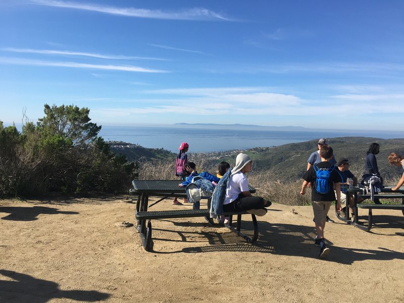
Top of the world
Top of the world
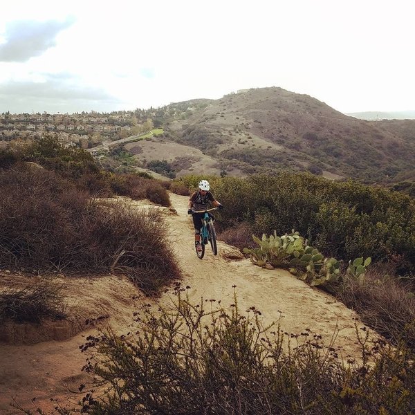
A rider wheelies a buffed section of the Cholla Trail in Aliso and Wood Canyons Regional Park.
A rider wheelies a buffed section of the Cholla Trail in Aliso and Wood Canyons Regional Park.
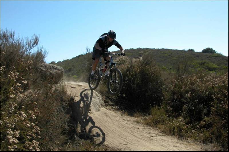
Racing down Meadows Trail on the first downhill stretch on the route
Racing down Meadows Trail on the first downhill stretch on the route
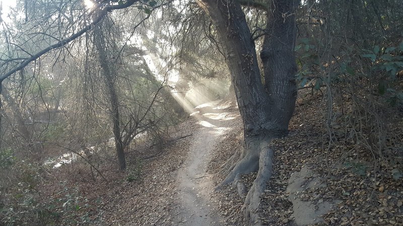
The sun peeking through the trees with morning mist on Coyote Run Trail.
The sun peeking through the trees with morning mist on Coyote Run Trail.
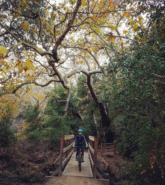
A beautiful patch of nature hides relatively untouched within the LA mega-metropolis.
A beautiful patch of nature hides relatively untouched within the LA mega-metropolis.
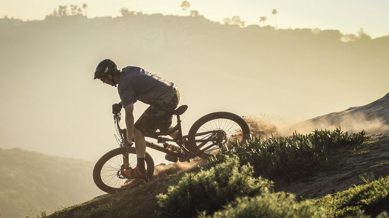
Bluebird Canyon -Laguna Beach, CA
Photo by Bill Freeman
Bluebird Canyon -Laguna Beach, CA Photo by Bill Freeman