3.8 hr
Overview
Park at the Windsor Lot overlooking Hahamonga Watershed Park and the Jet Propulsion Lab. Head north past the Fire Danger sign and along the paved access road. Follow signs for the Gabrielino, staying to the left. This trail meanders up the Arroyo past the Gould Mesa Campground and a couple of picnic areas. This section of the Gabrielino Trail (NRT) is considered easy compared to other routes and trails in the area because it is relatively flat, the trail stays fairly wide, and there is little height exposure. There are a few sandy spots and some short rocky sections. <br><br>At the Paul Little picnic area, the Gabrielino Trail (NRT) splits off to the right and climbs the canyon wall in a series of steep, exposed switchbacks, eventually proceeding above the USFS debris dam and further up the Arroyo Seco towards the bottom of Ken Burton Trail. For this ride, stay to the left and eventually you'll come to the base of an old debris dam with a steady waterfall flowing down. <br><br>When you're ready, turn around and head back out the way you came. <br><br>This trail gets good protection from the sun due to the steep canyon walls on both sides of the trail. Some trees also provide shade in the middle of the day.
Trail Stats
14.1 km
175 m
514 m
352 m
—
Photos
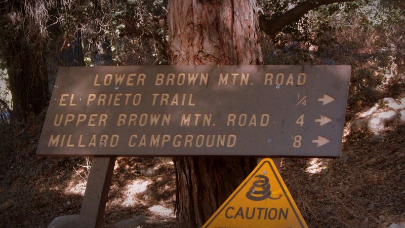
Starting of Fern Truck Trail.
Starting of Fern Truck Trail.
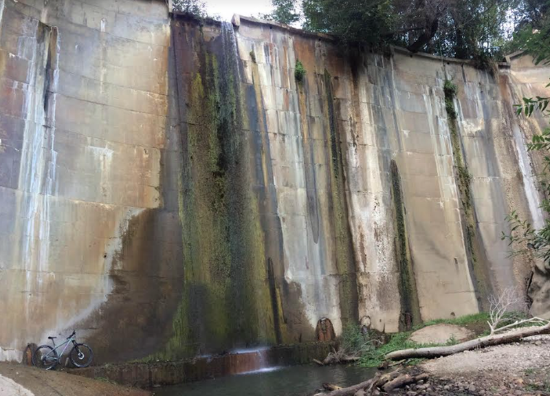
A Santa Cruz posing with the damn
A Santa Cruz posing with the damn
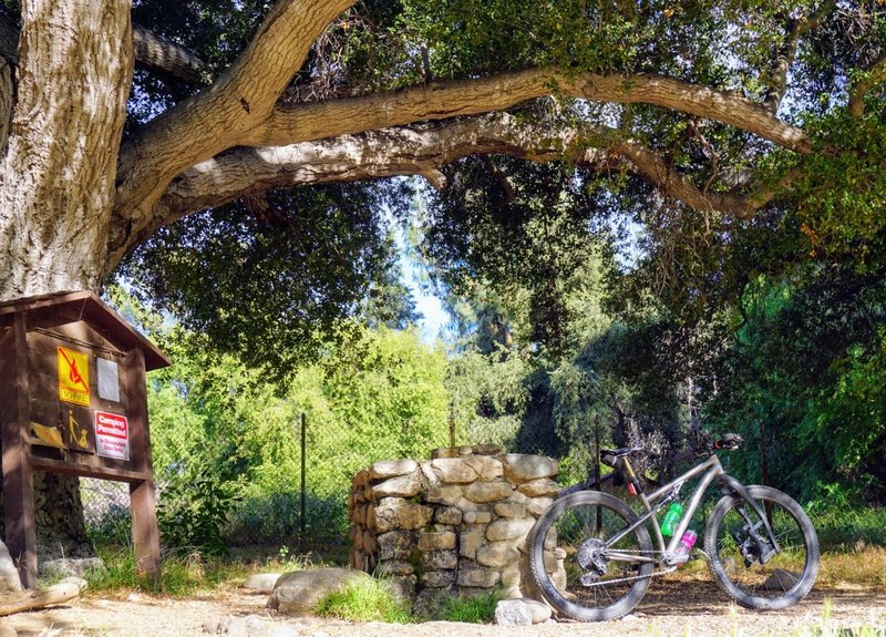
After a long ride, this oak-shaded drinking fountain has cool, refreshing mountain spring water on tap.
After a long ride, this oak-shaded drinking fountain has cool, refreshing mountain spring water on tap.
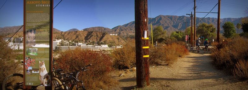
Next to Windsor Ave. parking.
Next to Windsor Ave. parking.
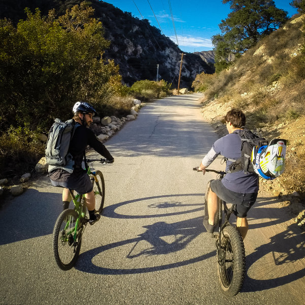
Access road leading back to the trailheads.
Access road leading back to the trailheads.
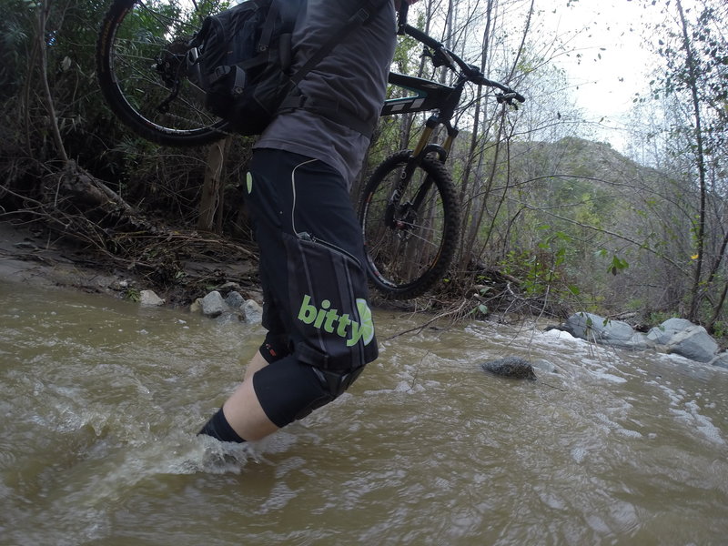
When it rains, the trail can become a bit wet in places.
When it rains, the trail can become a bit wet in places.
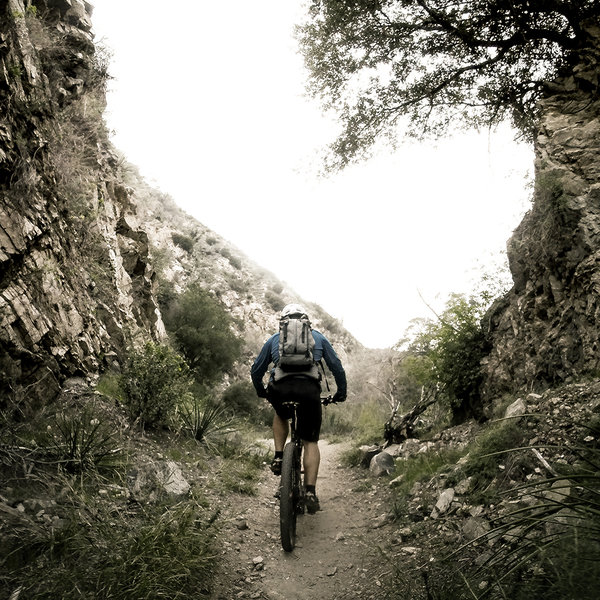
The gap on the Gabrielino Trail.
The gap on the Gabrielino Trail.
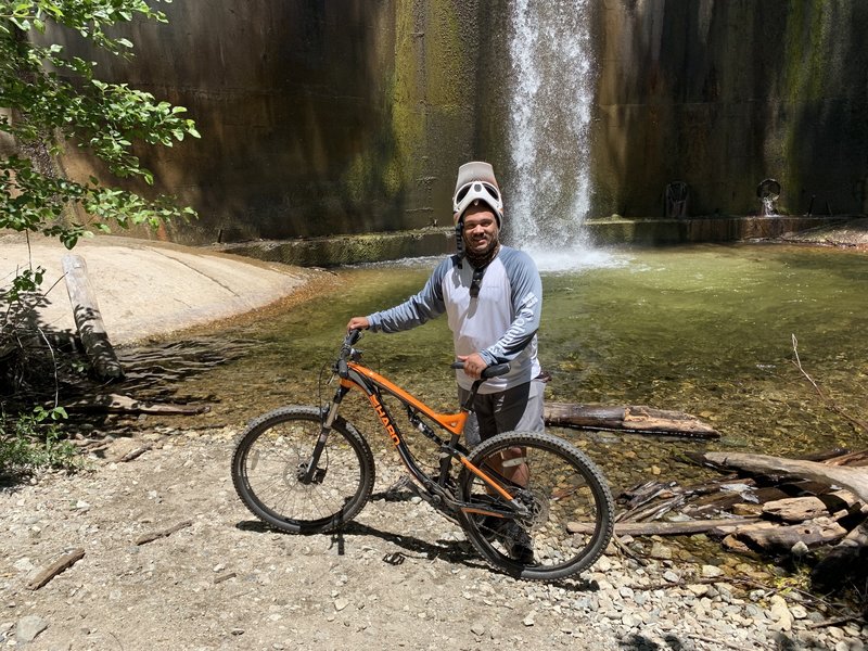
Endgame at the USFS Dam!
Endgame at the USFS Dam!
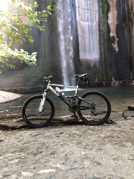
Dam
Dam
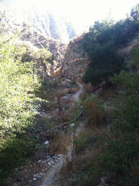
Gabrielino Trail just before the dam.
Gabrielino Trail just before the dam.
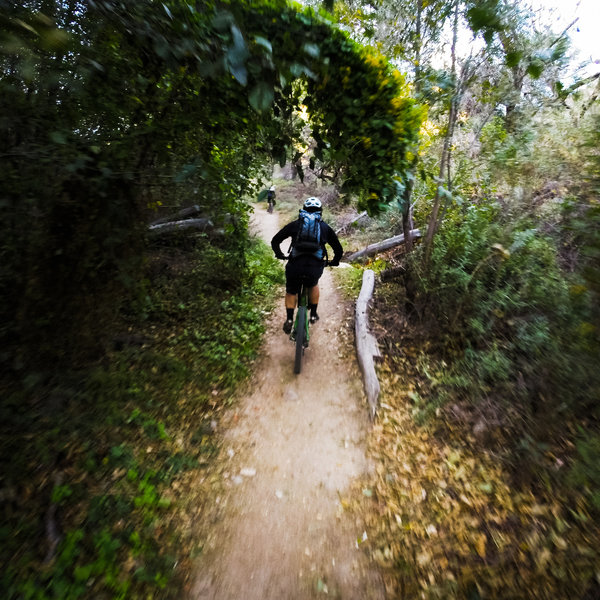
Typical of the singletrack along the Gabrielino Trail trail and the Arroyo.
Typical of the singletrack along the Gabrielino Trail trail and the Arroyo.
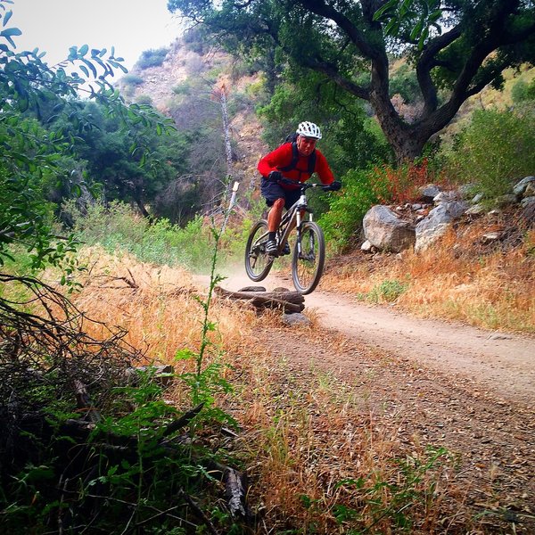
Gotta hit 'em when you see 'em!
Gotta hit 'em when you see 'em!
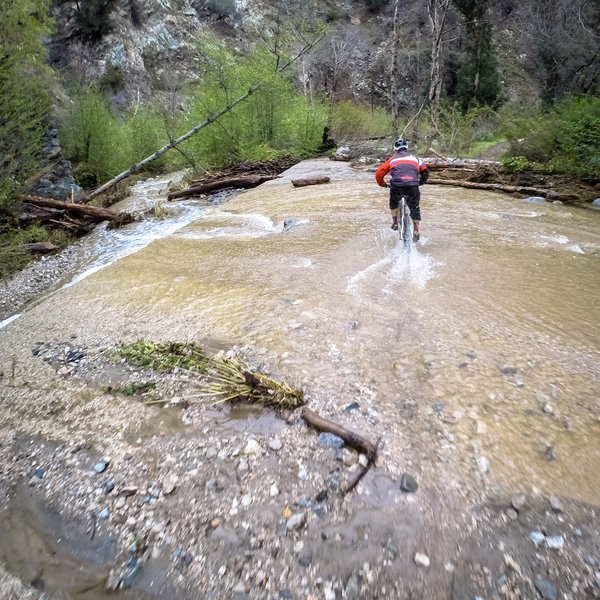
When it rains.....
When it rains.....
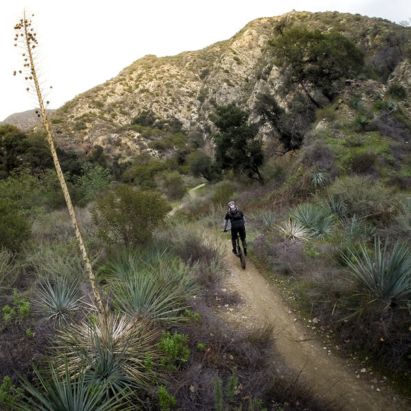
Cruising north on a winter afternoon.
Cruising north on a winter afternoon.
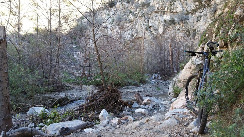
One of the many fun creek / river crossings
One of the many fun creek / river crossings
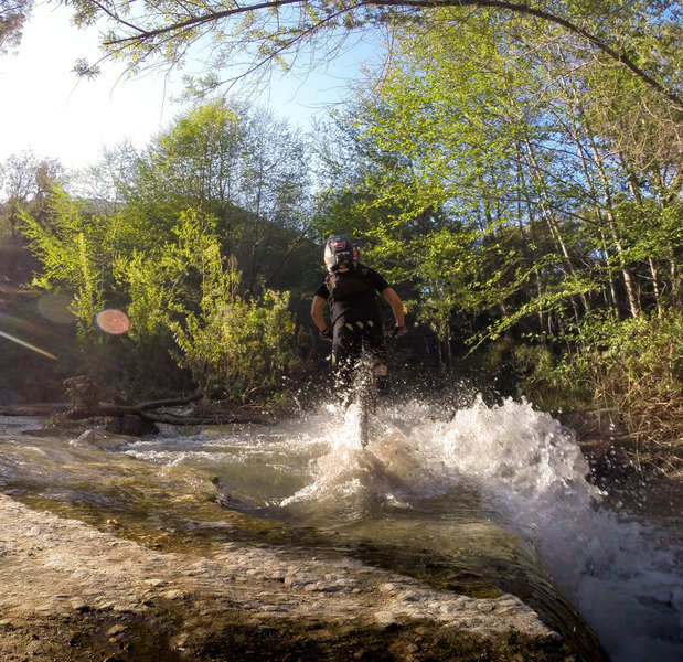
Splash through this water crossing at one of the spillways.
Splash through this water crossing at one of the spillways.
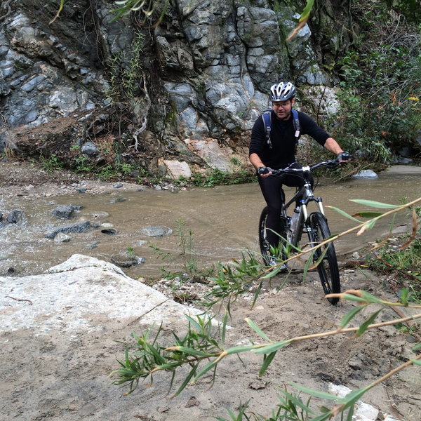
Lots of stream crossings on the way up Gabrielino Trail. It's a challenge not to fall in at least once!
Lots of stream crossings on the way up Gabrielino Trail. It's a challenge not to fall in at least once!