4.0 hr
Overview
From the Windsor parking lot, head north past the Fire Danger sign and the yellow gate. This ride starts out smooth for the first mile, with a leisurely ride past the Jet Propulsion Lab campus and into the Angeles National Forest. Stay right at the fork, following signs for El Prieto Trail and Fern Truck Trail. After a creek crossing and a short climb, you'll come to a clearing where the El Prieto Trail ends. Stay left on the fire road and get ready to start a 2.5-mile climb up Fern Truck Trail. <br><br>The last quarter mile of Fern TT is relatively flat, and you'll know you've reached the saddle once you pass the hitching post. Rest, enjoy the view, and get ready for some fun. As you look out over Los Angeles, to the right is where you came from, behind you is upper Brown Mountain Rd leading to the Ken Burton Trail, and to your left is lower Brown Mountain AKA the way to El Prieto Trail. <br> <br>Head down lower Brown Mountain Rd for about a mile, keeping an eye out for the El Prieto Trailhead sign on the right. This stretch of Brown Mountain is fast and fun, but can be overgrown at points. <br><br>El Prieto Trail is a unique singletrack experience. Expect to find extreme height exposure, 180-degree switchbacks, stream crossings, mandatory drops, and rock gardens all within an oak-lined canyon. This is classic mountain biking with a challenge for everyone. Beginner level riders may choose to walk some technical sections, but the trail is rideable from beginning to end for experienced riders. Beware of poison oak along this trail, as it is present all year. <br><br>El Prieto has been re-routed three times, and there are two spur trails that lead up out of the canyon to the beginning of Brown Mountain Road and The Meadows neighborhood, totaling five forks in the trail. The original trail is always to the right, taking you to the bottom of your Fern Truck Trail climb. "The right way is the right way." <br><br>However, the first three splits are all re-routes that you might not even notice, since the popular option
Trail Stats
13.4 km
384 m
730 m
352 m
—
Photos
Starting of Fern Truck Trail.
Starting of Fern Truck Trail.
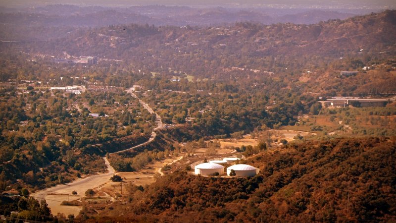
Half way on Fern Truck Trail.
Half way on Fern Truck Trail.
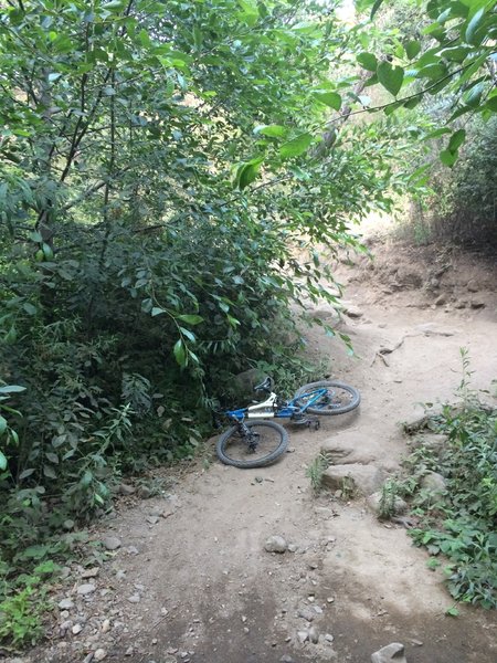
Watch your noggin, those bushes are dangerous!
Watch your noggin, those bushes are dangerous!
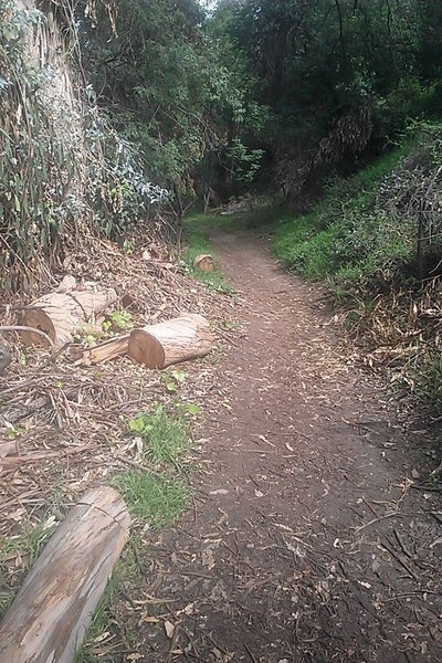
El Prieto trail. Beautiful area other than lots of poison oak!
El Prieto trail. Beautiful area other than lots of poison oak!
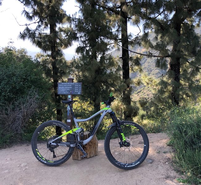
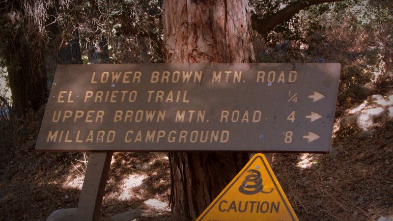
Signage at the saddle, the view before you keep heading up Brown to the very top and/or the start of Ken Burton.
Signage at the saddle, the view before you keep heading up Brown to the very top and/or the start of Ken Burton.
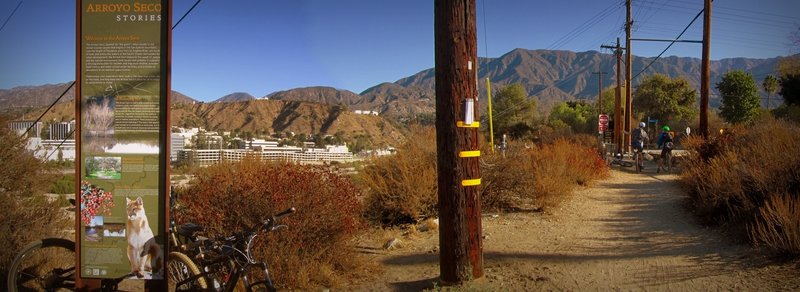
Next to Windsor Ave. parking.
Next to Windsor Ave. parking.
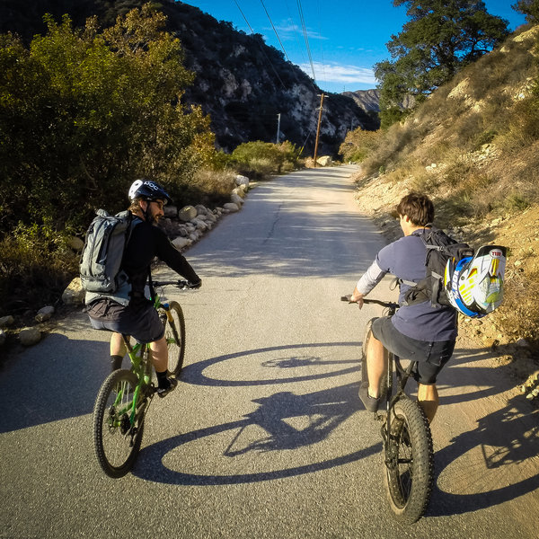
Access road leading back to the trailheads.
Access road leading back to the trailheads.
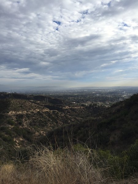
When the climb is over and you pause before the fun part....
When the climb is over and you pause before the fun part....
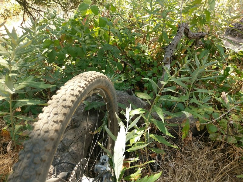
Mugwort is a natural antidote to Poison Oak exposure you can scrunch up some leaves and rub a poultice onto the affected skin. Just don’t uproot the plant.
Mugwort is a natural antidote to Poison Oak exposure you can scrunch up some leaves and rub a poultice onto the affected skin. Just don’t uproot the plant.
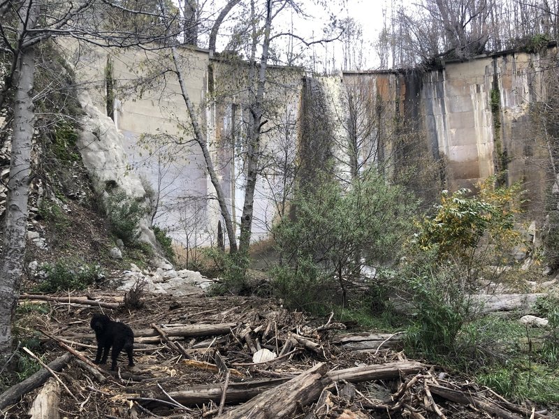
JPL Dam after a nice rain.
JPL Dam after a nice rain.
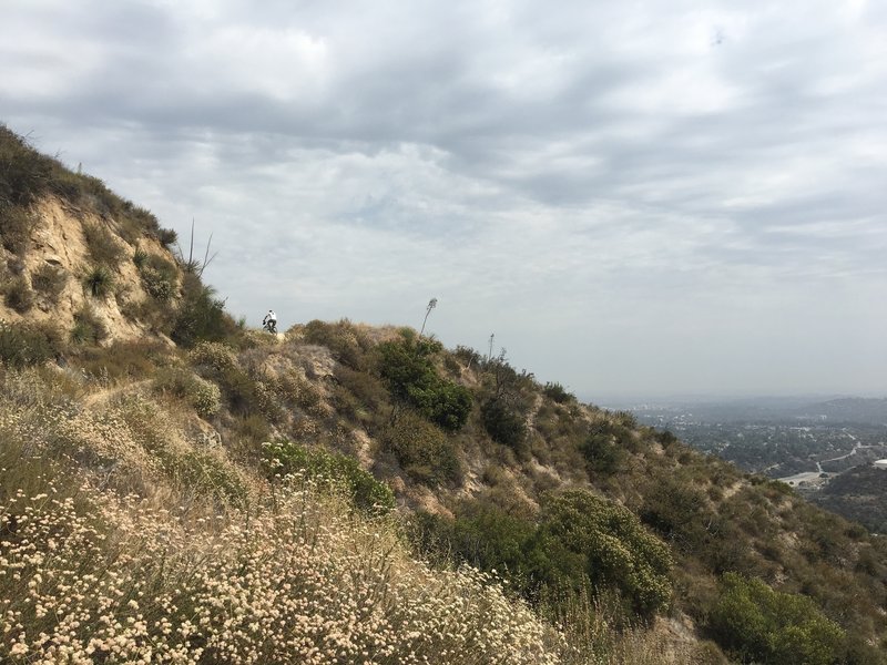
Middle of the climb after the El Prieto descent
Middle of the climb after the El Prieto descent
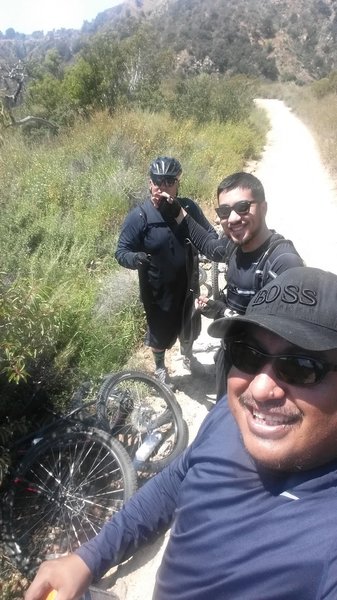
Prieto Canyon Trail stop for a flat tire.
Prieto Canyon Trail stop for a flat tire.
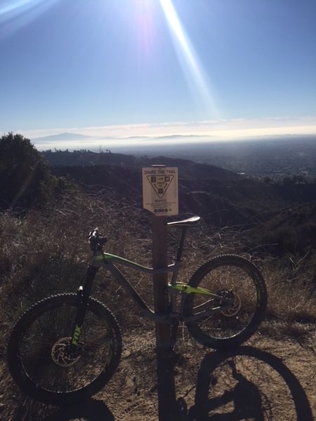
At the saddle.
At the saddle.
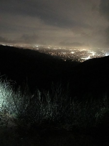
The nighttime view from the top of the hill can be beautiful. This was taken on the Velo Pasadena bike shop weekly ride before hitting El Prieto!
The nighttime view from the top of the hill can be beautiful. This was taken on the Velo Pasadena bike shop weekly ride before hitting El Prieto!
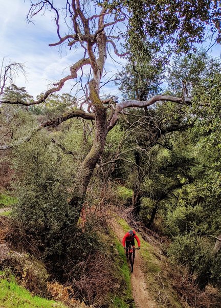
El Prieto alternates between tight switchbacks and long, flowy sections.
El Prieto alternates between tight switchbacks and long, flowy sections.
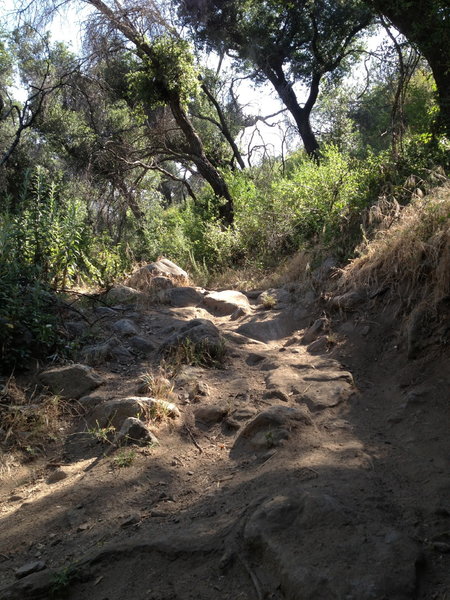
A bit of technical fun on the way down El Prieto.
A bit of technical fun on the way down El Prieto.
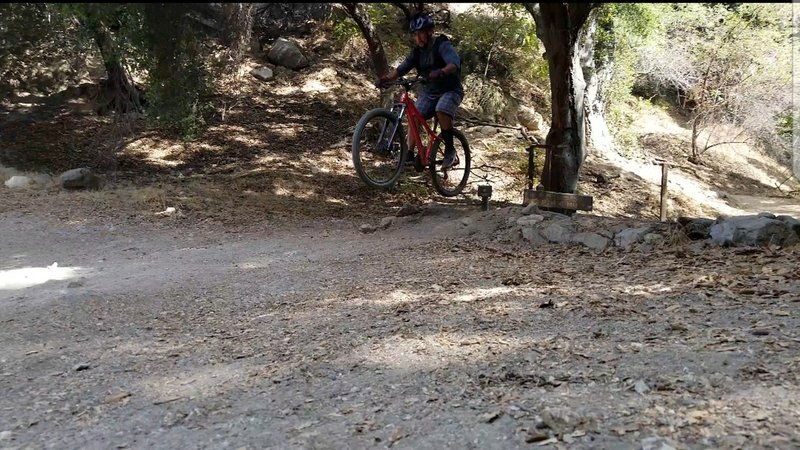
Jump finale at El Prieto
Jump finale at El Prieto
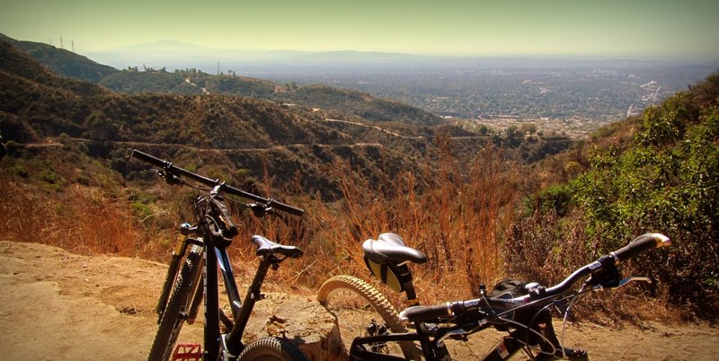
At Fern and Brown Trail junction flat spot.
At Fern and Brown Trail junction flat spot.
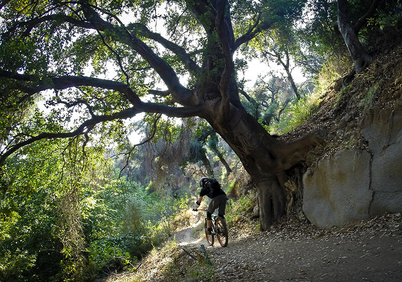
One of the flowy sections along the El Prieto Trail.
One of the flowy sections along the El Prieto Trail.
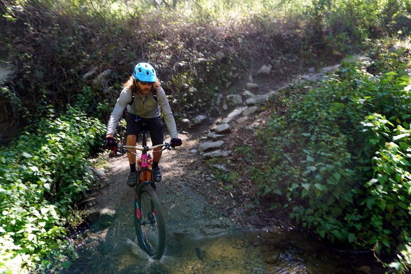
Patrick hits a switchback splashdown special near the top of El Prieto
Patrick hits a switchback splashdown special near the top of El Prieto
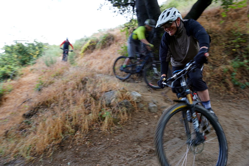
The crew drops in at the top of El Prieto.
The crew drops in at the top of El Prieto.
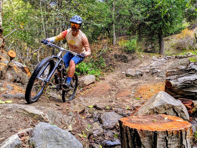
This trail is tirelessly maintained by volunteers like Erik, seen here riding past his sawyering handiwork.
This trail is tirelessly maintained by volunteers like Erik, seen here riding past his sawyering handiwork.
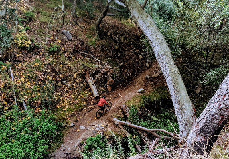
It's fun to jam down this trail, but you'll miss all the beauty of the canyon.
It's fun to jam down this trail, but you'll miss all the beauty of the canyon.
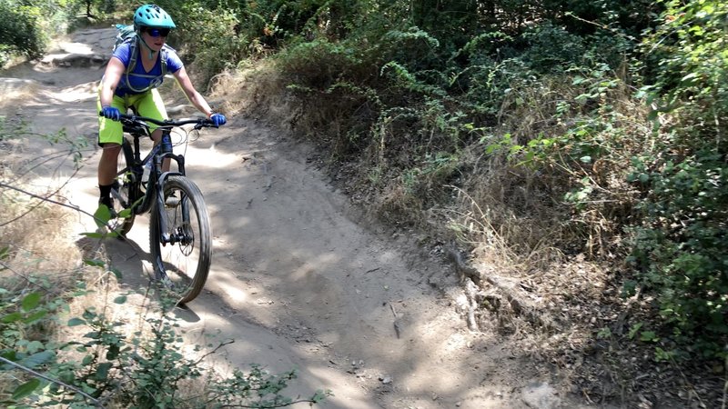
Jen keeping it rolling through dusty ruts. Great trail for the area!
Jen keeping it rolling through dusty ruts. Great trail for the area!