18 min
Overview
This short singletrack trail can be ridden in either direction. The upper portion starts on the Summit to Summit Motorway, just a little southwest of the Top of Topanga Canyon and descends to Dunmore Drive in Calabasas. It provides a nice alternative to riding up or down Topanga Canyon Blvd., which can get very busy with cars. <br><br>The upper portion of the trail is smooth and flowy, taking you through some dense vegetation and tree canopies. At 0.12 miles, there's a very brief ascent and then the vegetation opens up and the trail descends at a little steeper incline. The trail becomes looser as you descend and eventually you come to a clearing where you are looking west out over Calabasas. This is a great spot to watch the sunset. <br><br>The trail does a sweeping turn to the right as you weave your way through the trees and chaparral. At 0.54 miles, the trail intersects with another singletrack trail. Going left takes you to the trailhead at Dunmore Dr. and going right is a gentle climbing singletrack that takes you to Topanga Canyon Blvd., about two-thirds of the way up between Mulholland Drive and the Top of Topanga (however it crosses private property and there is a gate at Topanga Cyn Blvd requiring a hike-a-bike, so it's not recommended). When you make your left at the trail intersection, the trail flattens out, passes just above A.C. Steele Middle School, and goes quite close to homes in the cul-de-sac of Dunmore. Out of courtesy for the neighbors, it is best not to congregate here. Instead, continue down the street. Making a right at each of the next two streets will take you to Mulholland Highway. <br><br>The trail can be traveled in the opposite direction as well. At roughly 0.2 miles from the start at Dunmore, look for the trail to intersect on the right. The climb gets a little technical on the loose and steeper section, but it is all rideable.<br><br>Spring 2019 - I've been riding and maintaining this trail since moving into the area in the early 2000s. The trail doesn't see a tremendous amount o
Trail Stats
1.2 km
0 m
484 m
389 m
—
Photos
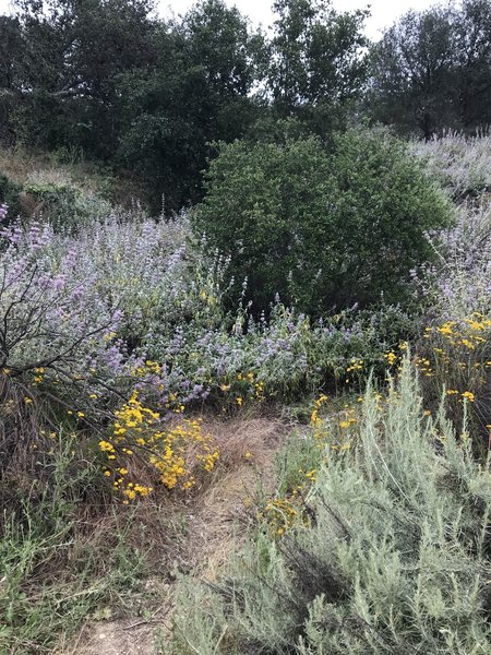
The first hard right turn at the intersection when climbing up the trail.
The first hard right turn at the intersection when climbing up the trail.
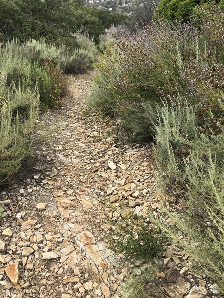
The middle section of the Topanga-Calabasas Connector has loose rock adding an extra challenge when climbing
The middle section of the Topanga-Calabasas Connector has loose rock adding an extra challenge when climbing
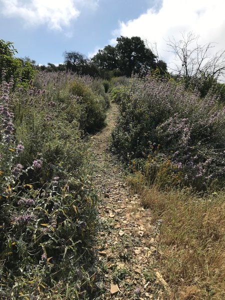
Looking up the middle section of the Topanga-Calabasas Connector trail.
Looking up the middle section of the Topanga-Calabasas Connector trail.
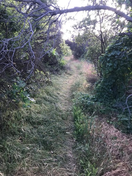
Towards the top of the Topanga-Calabasas Connector trail as it descends through trees and vegetation.
Towards the top of the Topanga-Calabasas Connector trail as it descends through trees and vegetation.
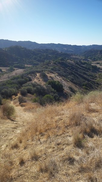
Top of U-Capa Trail. Looking South.
Top of U-Capa Trail. Looking South.
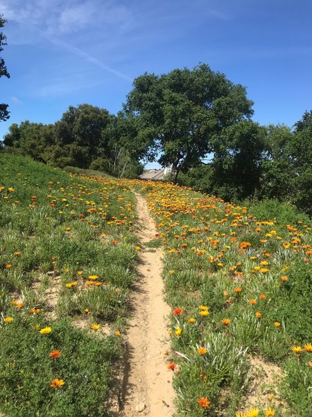
Just before the Calabasas end of the Topanga-Calabasas Connector
Just before the Calabasas end of the Topanga-Calabasas Connector
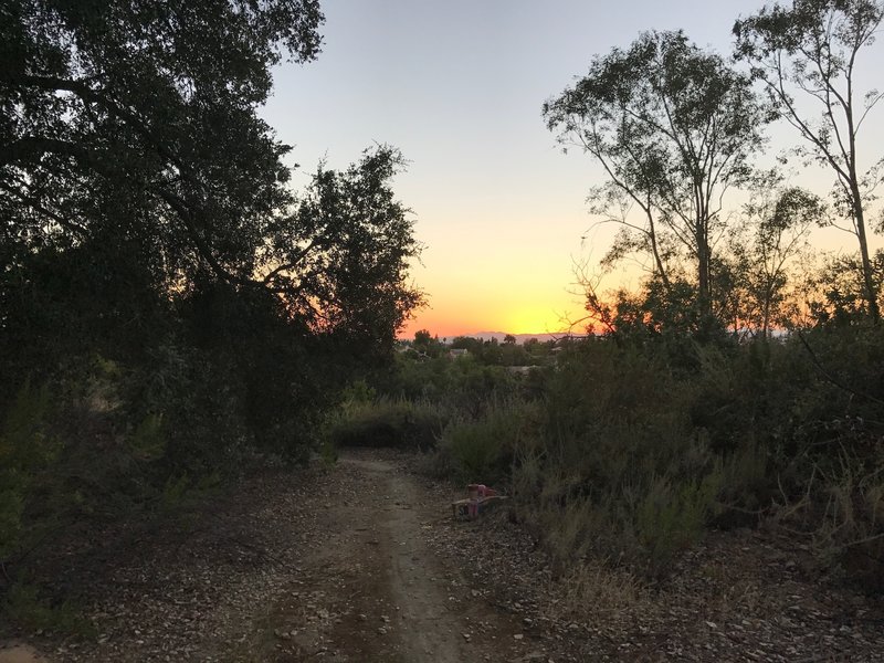
Clearing just past the lower end trailhead of the Topanga-Calabasas Connector
Clearing just past the lower end trailhead of the Topanga-Calabasas Connector
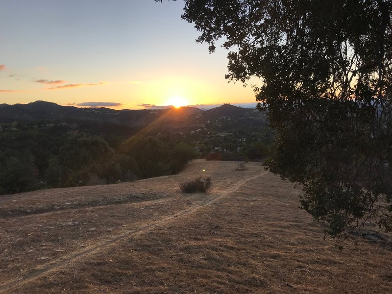
Straightaway on the lower portion of Topanga-Calabasas Connector descent
Straightaway on the lower portion of Topanga-Calabasas Connector descent