2.4 hr
Overview
The Matias Potrero trail begins just above 1800' on the Arroyo Burro Road. The trail heads east descending at first then slowly climbing as it winds through a series of "potreros" or meadows. At about one mile in you'll reach a high point marked by a large boulder on the left. Hang on for a great ride of twisting and occasionally rocky singletrack. Another short climb takes you to the junction with the Matias Potrero Connector Trail.<br><br>Most people opt for a left at this junction and head north back down to the Santa Ynez River to complete the Matias Potrero Loop. Those who continue east will find a steady climb and worsening trail conditions. Matias Potrero ends at the junction of the Devils Canyon and Tunnel Trails.
Trail Stats
7.6 km
299 m
629 m
465 m
—
Photos
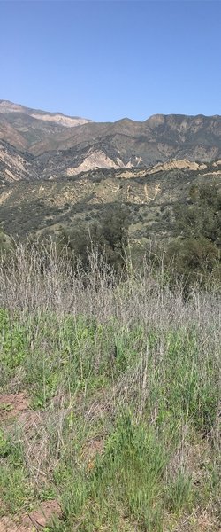
Nice views to compliment the gnats, black flies, poison oak, and ticks.
Nice views to compliment the gnats, black flies, poison oak, and ticks.
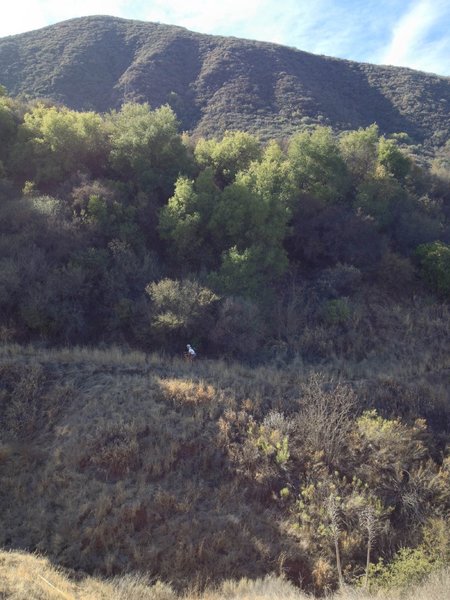
Making the last short climb on the Matias Potrero Trail
Making the last short climb on the Matias Potrero Trail
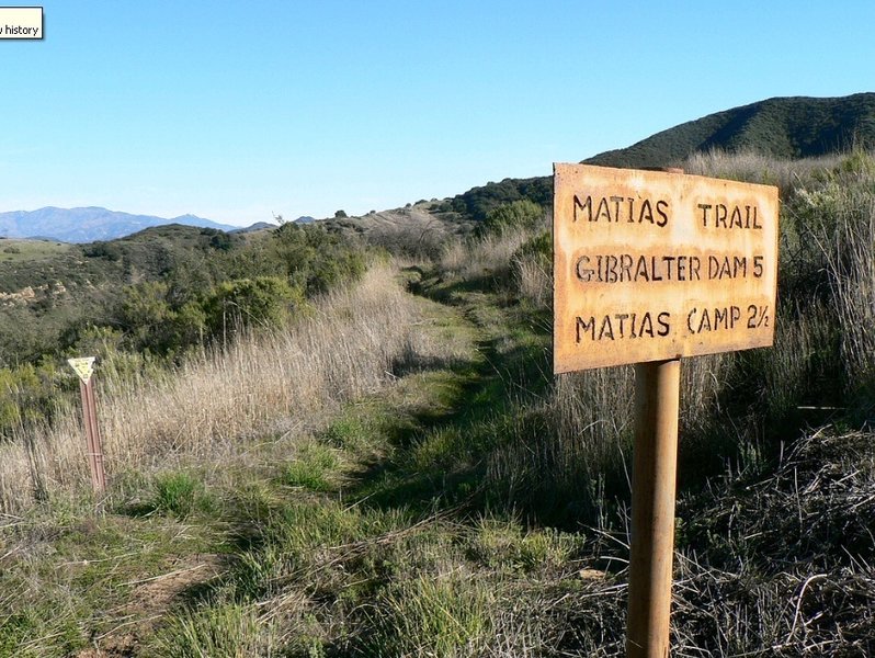
The beginning of the Matias Potrero Trail from the Arroyo Burro Road.
The beginning of the Matias Potrero Trail from the Arroyo Burro Road.