3.7 hr
Overview
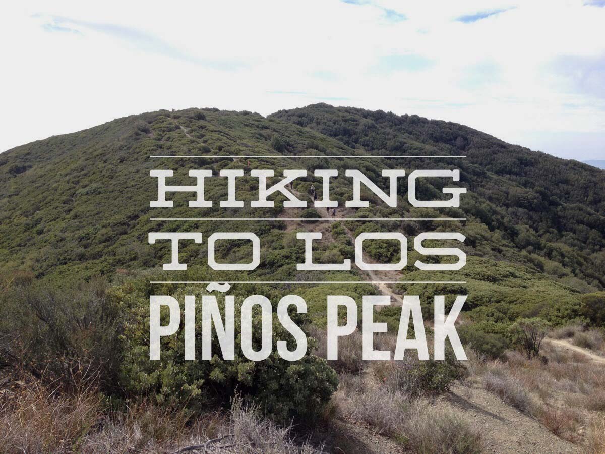
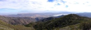
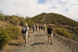
Los Piños Peak sits at 4,455 feet above sea level in the Cleveland National Forest, just west of the Main Divide between Orange and Riverside Counties. There are other more strenuous routes to this summit, but this route is made easier because you start at over 3,000 feet. Instead of approaching from Orange County, you reach this trail from Ortega Highway.
Trail Stats
8.8 km
615 m
1389 m
1035 m
—
Photos
Trail photo
No caption provided.
Trail photo
No caption provided.
Trail photo
No caption provided.
Trail photo
No caption provided.
Trail photo
No caption provided.
Trail photo
No caption provided.

Trail photo
No caption provided.