1.1 hr
Overview
This trail starts at Mt. Wilson paved road, which is close to the top of the Mt. Wilson Toll Road. The top is smooth and easy to intermediate in difficulty. Later on, it gets more exposed with very narrow tread in sections that have slid\u2014these are just steep, sandy-to-tiny-gravel slides. <br><br>In Sept. 2017 (as in Aug. 2017) there were half a dozen or so downed trees, but not hard to go over or under. The trail ends at Gabrielino Trail (NRT), although there may be an overgrown section that continues to Rincon-Redbox Truck Trail.<br><br>This route wouldn't be much fun going up because it's steep and due to all of the sandy slides. We walked five to ten sections going down (some might be braver), but riding up you wouldn't have enough momentum to make them; your back, if not front wheel would slide out. <br><br>From the bottom, you can get back up to Red Box Station on the Rincon-Redbox Truck Trail or Gabrielino Trail (NRT) depending on the condition. This can be done starting at Switzer Picnic Area up the Gabrielino Trail (NRT), four miles up the Wilson paved road, down the DeVore, up Rincon-Redbox Truck Trail finishing with a fun downhill to Switzers.
Trail Stats
4.2 km
5 m
1714 m
1117 m
—
Photos
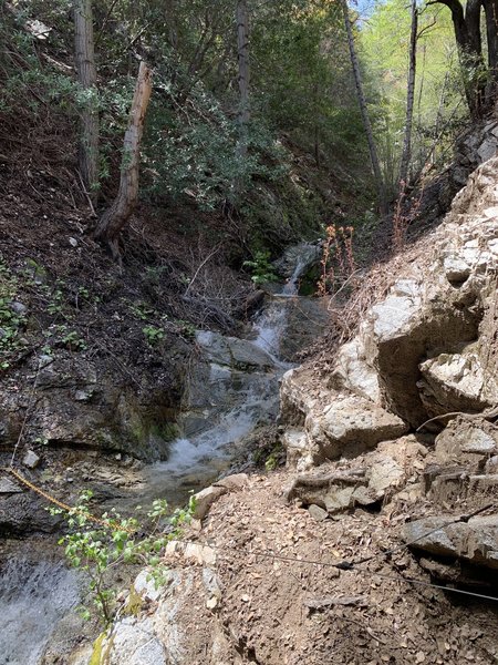
One of many spring run-offs
One of many spring run-offs
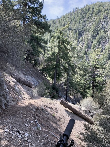
Descending midway through Kenyon-Devore
Descending midway through Kenyon-Devore
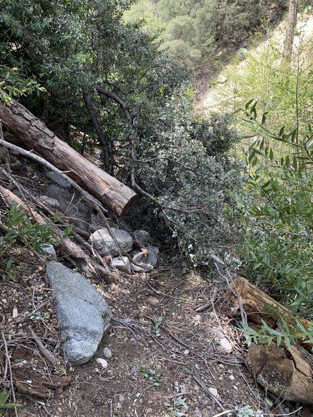
First major fallen tree obstacle near top
First major fallen tree obstacle near top
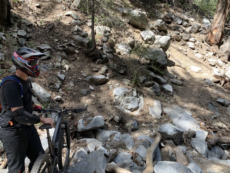
Photo break
Photo break