5.6 hr
Overview
Take the Las Virgenes Road. Exit off the 101, head south, and park at the Bark Park on the left side of the road. There's a singletrack that heads up from the northern end of the dog park; this is the trailhead.<br><br>Follow this trail up some switchbacks, and after about a mile hang a left at the signpost. Follow this lovely, mellow singletrack for another few miles down switchbacks and across a sometimes overgrown stream, until it meets up with a fire road. Take a right at the fire road and follow it uphill until you reach a paved cul-de-sac. Immediately take a left down some steep switchbacks and enjoy the ride to the bottom of the hill.<br><br>At the bottom of the hill there's a fork in the trail marked by a pretty ambiguous sign that says "TRAIL". <b>Take a right</b> - don't continue straight or you'll end up at another trailhead. Drink some water and grit your teeth; from here you've got a brutal climb to the top of the hill with lots of demoralizing false summits.<br><br>At the top there's a large water reservoir and a sign that says "CAUTION - STEEP SWITCHBACKS". They are not kidding - be careful down the extremely steep and tight switchbacks that take you down the other side of the ridge. Apparently only a small, steep ribbon of land was designated for public use here so they had to make the best of a difficult situation. If you're an experienced downhill rider have fun, otherwise drop a foot on each corner like I did.<br><br>At the bottom of this valley you'll cross a road with a security checkpoint where people in fancy cars are entering the gated community this trail circles. Try not to get hit by a Bentley, and then climb to the top of another ridge. Navigate some more switchbacks, and then enjoy some welcome mellower terrain as you near the end of the New Millenium loop. <br><br>At around mile 11, you'll get to an unsigned fork in the trail. To get back to the Bark Park trailhead, take the right-hand option. In less than a mile you'll be back at the juntion where you initially took a left to start
Trail Stats
18.4 km
580 m
516 m
296 m
—
Photos
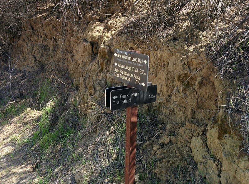
Trail Sign at the junction of Bark Park Trail and New Millennium Loop Trail
Trail Sign at the junction of Bark Park Trail and New Millennium Loop Trail
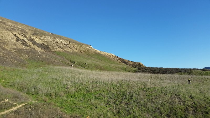
Green open vistas (sometimes filled with deer) make for a nice ride along the New Millennium Trail.
Green open vistas (sometimes filled with deer) make for a nice ride along the New Millennium Trail.
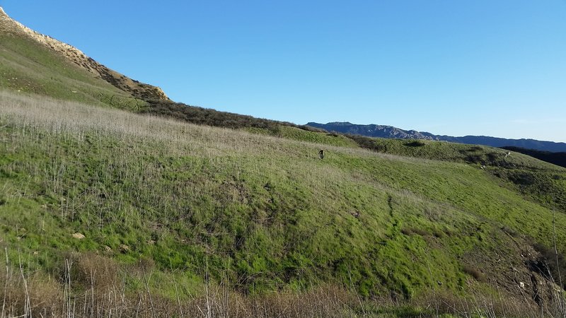
Before the final fork, enjoy this amazing, easy-flowing singletrack.
Before the final fork, enjoy this amazing, easy-flowing singletrack.
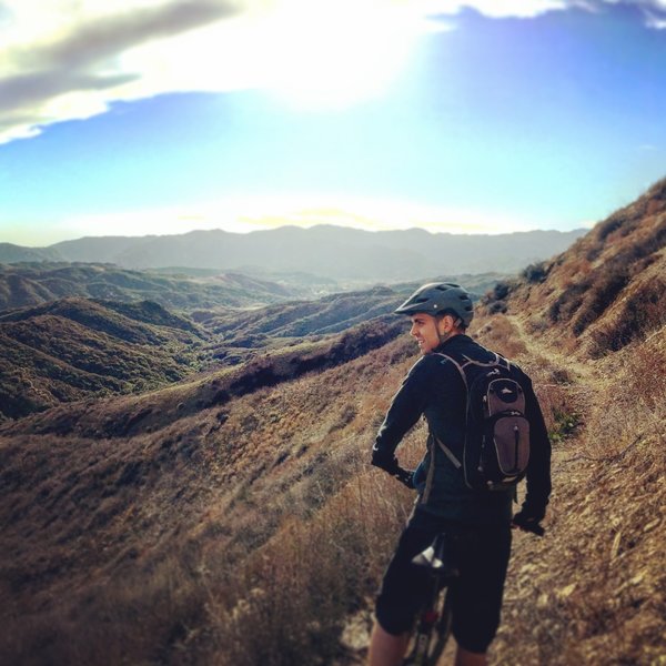
Waiting for our friend on his old hardtail to catch up.
Waiting for our friend on his old hardtail to catch up.
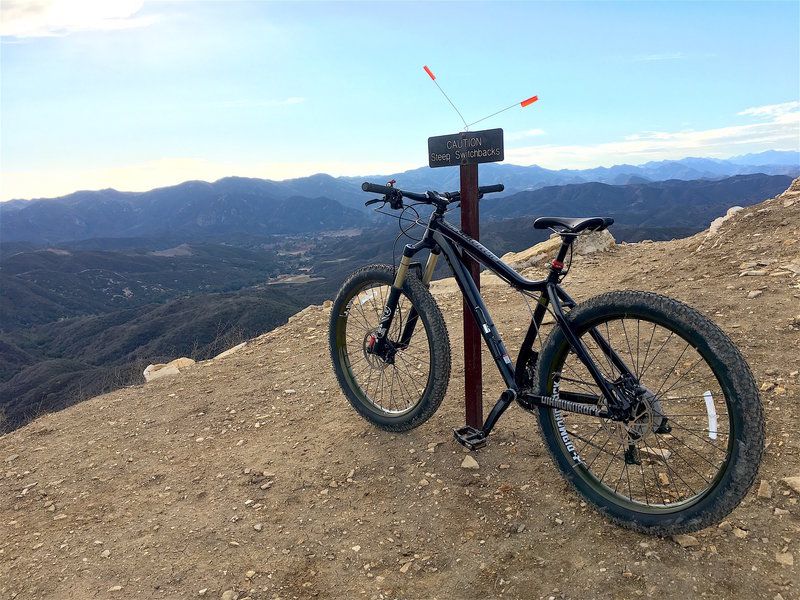
My Mason Comp overlooking some really steep switchbacks before we start the long decent back to the park.
My Mason Comp overlooking some really steep switchbacks before we start the long decent back to the park.
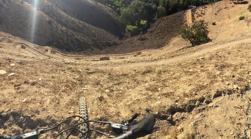
Looking down atop northern switchbacks. Expand picture to gain depth perspective.
Looking down atop northern switchbacks. Expand picture to gain depth perspective.
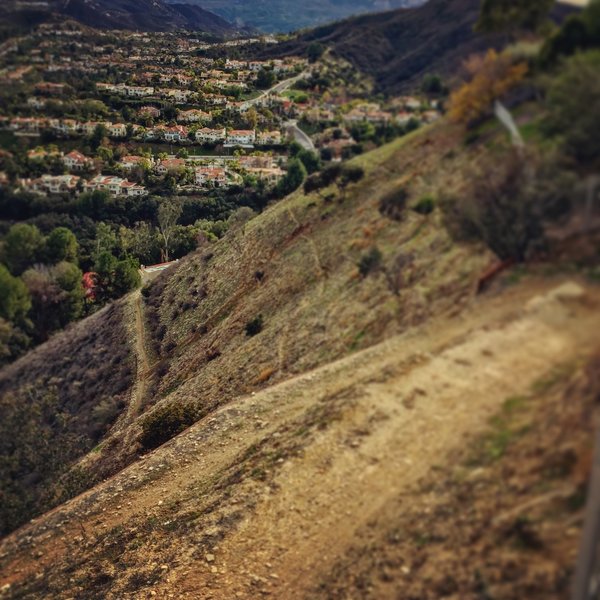
looking down off the switchbacks at the trail going around the mountain. This was my favorite stretch, nice and rolling.
looking down off the switchbacks at the trail going around the mountain. This was my favorite stretch, nice and rolling.
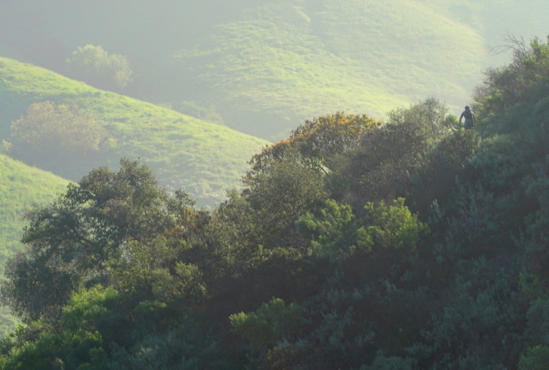
The sweet spot on the New Millennium Trail can be found one week after it rains (for the trail to dry out) and one week before the Dutch Broom gets out of control. Then everything is green and beautiful.
The sweet spot on the New Millennium Trail can be found one week after it rains (for the trail to dry out) and one week before the Dutch Broom gets out of control. Then everything is green and beautiful.
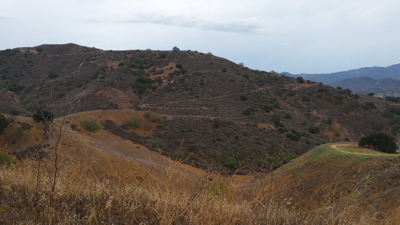
This is the trail that you come down after climbing out of Bark Park
This is the trail that you come down after climbing out of Bark Park
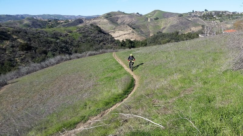
Enjoy this grassy section as you make your way past the water tank.
Enjoy this grassy section as you make your way past the water tank.
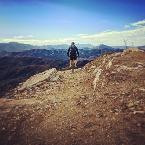
Heading into the descent from the top of the hill. They aren't joking about the "steep" part.
Heading into the descent from the top of the hill. They aren't joking about the "steep" part.
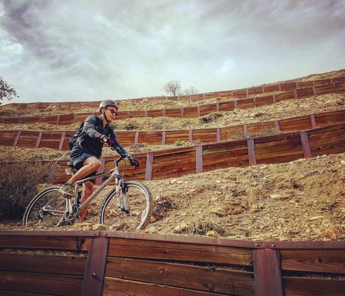
Descending the crazy switch backs on the back of the water tank. Again, steep is an understatement.
Descending the crazy switch backs on the back of the water tank. Again, steep is an understatement.
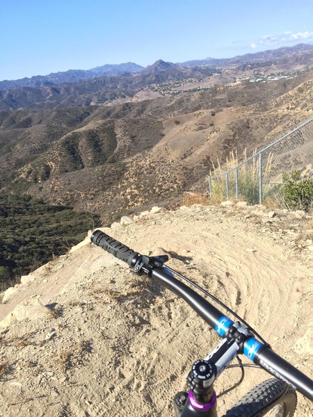
Killer switchbacks on the New Millennium Trail.
Killer switchbacks on the New Millennium Trail.
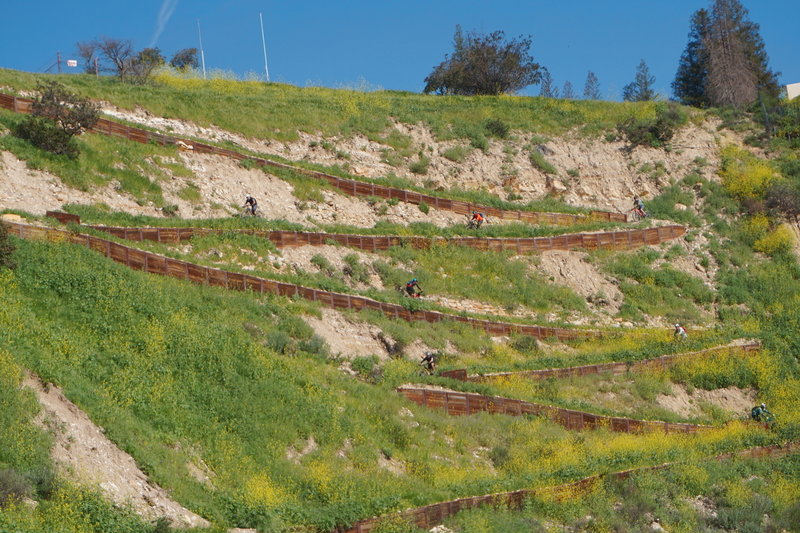
Seven riders descend the infamous water tower switchbacks
Seven riders descend the infamous water tower switchbacks
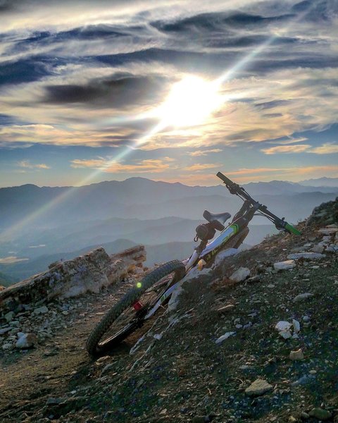
About to go down the switches
About to go down the switches