39 min
Overview
At the junction of Sunset Ridge Road and Lower Sunset Ridge Trail, take the short, paved section west (down the front side). On the right you'll see a flat, open dirt area. The trail drops from the road on the far end. <br><br>This is a nice and challenging alternative to get back to the JPL parking lot, if you have done the Mount Wilson/SCOA shuttle, or to get back to the top of Lake Avenue, if you rode up Lower Sam Merrill Trail and down Sunset Trail.<br><br>UPPER PORTION: The trail is a winding singletrack descent with a number of switchbacks and some bermed corners. It is generally hard-packed with some sections of sandy/loose terrain. The trail varies from flowing to very rutted and rocky. Parts of the trail parallel a water pipe, which is, in places, exposed and may have very deep (12"-18") ruts alongside it. <br><br>After rains, these ruts become much more common and apparent. At the end of the upper section (where the trail crosses Chaney Trail Road), there is a small, unavoidable drop (due to the board retaining the trail), be careful here, not only because of vehicular traffic on the road, but also because of wooden piles set just out of sight below the drop, which can cause you to crash if you hit them. <br><b>Caution should be taken as there are the occasional local hikers and trail-runners, and the trail in areas is narrow with blind corners.</b><br><br>LOWER PORTION: The lower portion of this trail drops in directly across the road from the upper. Initially, it is a winding fire road/doubletrack descent, becoming a singletrack towards the end. There are several short but steep climbs along this section, as well as many loose-over-hard and sandy/dusty sections. The descents are fast and some are fairly steep. <br><br>The trail ends on Sunset Ridge Road, just outside the gated development; head left down the road, and it will take you to Alta Loma Drive. From there, you can either go left, back up to the top of Lake Avenue/Lower Sam Merrill, or you can go right to Lincoln Ave, where you can then rid
Trail Stats
2.4 km
23 m
636 m
409 m
—
Photos
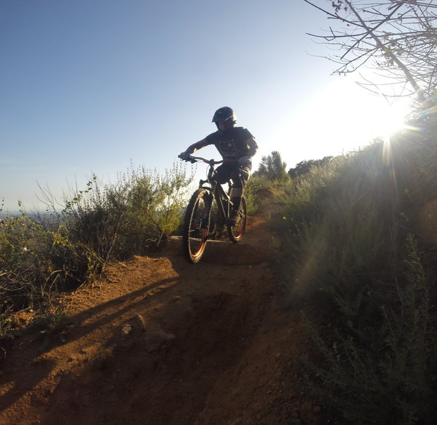
One of the small rock features on the trail.
One of the small rock features on the trail.
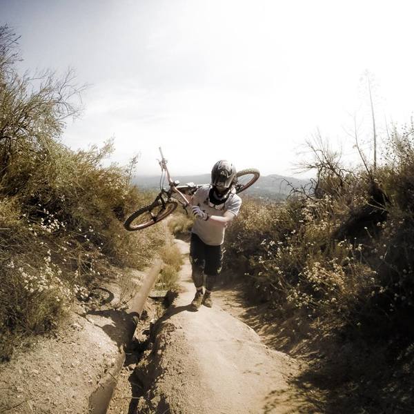
If you're climbing or sessioning the upper section of trail, there are some hike-a-bike areas.
If you're climbing or sessioning the upper section of trail, there are some hike-a-bike areas.
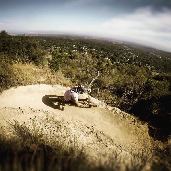
One of the bermed switchbacks in the upper section of the trail.
One of the bermed switchbacks in the upper section of the trail.
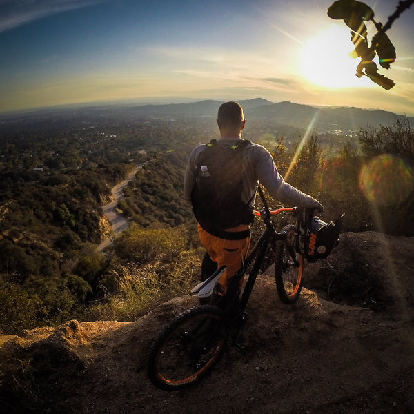
It's a great view west to the ocean from the Horse Trail.
It's a great view west to the ocean from the Horse Trail.
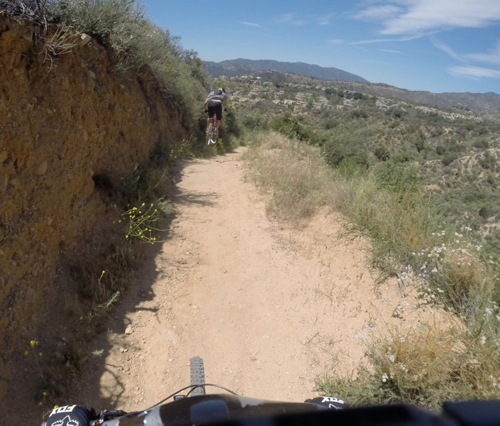
Putting some of the natural trail features to good use, on the lower section of the trail.
Putting some of the natural trail features to good use, on the lower section of the trail.
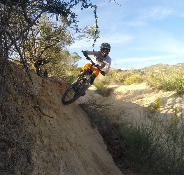
One of the couple of small wall rides.
One of the couple of small wall rides.