13.2 hr
Overview
From the west entrance, parking is available at a lot on the corner of N Windsor Avenue and Ventura Street. From the lot, follow the paved trail north for a mile and a half, staying left at the fork with Fern Truck Trail and El Prieto. Continue along the canyon floor, past Gould Mesa Campground and Nino Picnic Area, to the Paul Little Picnic Area sign where the trail splits. Straight ahead, the trail detours to a dead-end at the base of the USFS 1938 debris dam. To the right, the Gabrielino continues steeply up the canyon wall and over the dam. <br><br>Above the dam, the trail can get lost in the ever-changing creek bed, but following the tire tracks should keep you on course. Eventually, the trail climbs out of the canyon floor to meet the bottom of the Ken Burton Trail. The section between here and Commodore Camp/Switzer's Falls/Bear Canyon Tr. has been closed for almost 10 years, but was recently restored to service by MWBA, CORBA, USFS, and several other volunteer organizations. Though it continues to follow the bottom of the Arroyo Seco and then Long Canyon for several miles, the bench-cut trail is often narrow, height-exposed, and very remote.<br><br>After climbing out of Long Canyon, you'll enjoy some of the most spectacular views of the San Gabriels front range as you approach the Bear Canyon Tr. (Switzer Falls) junction. Stay on the Gabrielino (straight) as it drops down to Commodore Camp then climbs to Switzer Picnic area & eventually Red Box Gap. <br><br>Riding from either direction has positives and negatives, tough climbs and bomb downhills; but whichever way you choose, potable water can be scarce, so plan accordingly.
Trail Stats
41.8 km
1635 m
1408 m
392 m
—
Photos
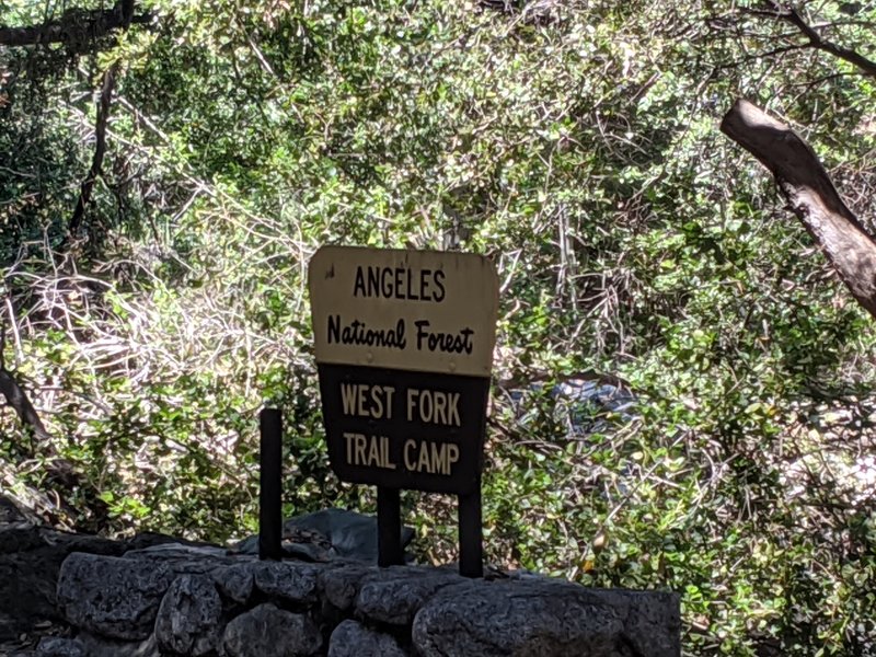
From this point up, trees blocking the trail constantly. People have trimmed them slightly so you can hike-a-bike and get all the way through. Needs to be cleared.
From this point up, trees blocking the trail constantly. People have trimmed them slightly so you can hike-a-bike and get all the way through. Needs to be cleared.
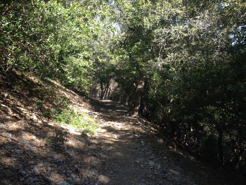
This section of the Gabrielino trail is fast and shaded.
This section of the Gabrielino trail is fast and shaded.
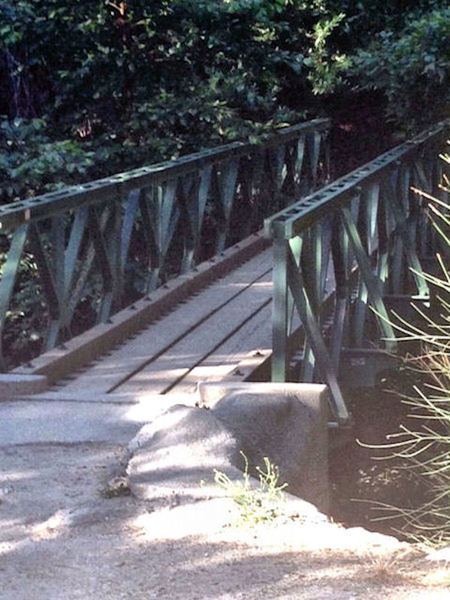
Foot bridge at Robert's Camp. Cross the bridge or ride through the creek and start the climb up the paved fireroad to the Chantry Flat parking lot.
Foot bridge at Robert's Camp. Cross the bridge or ride through the creek and start the climb up the paved fireroad to the Chantry Flat parking lot.
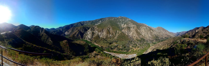
Riding Mt Wilson
Riding Mt Wilson
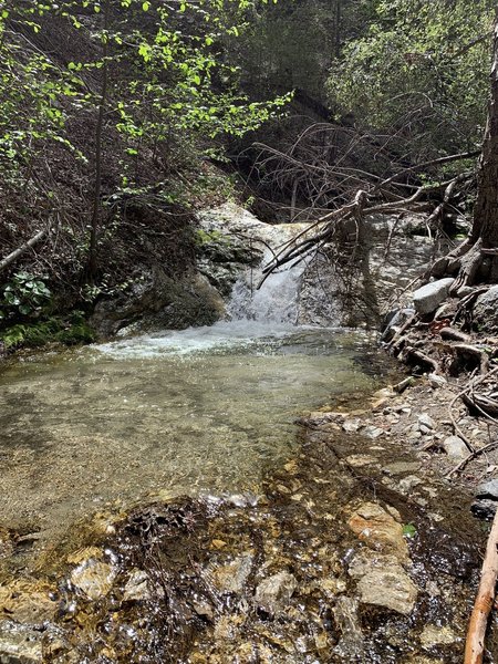
More water... lower Keyon-Devore
More water... lower Keyon-Devore
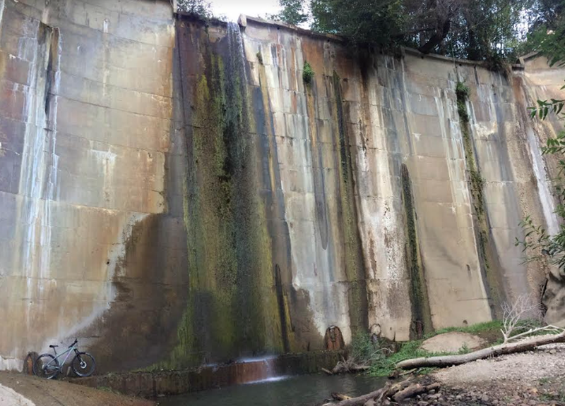
A Santa Cruz posing with the damn
A Santa Cruz posing with the damn
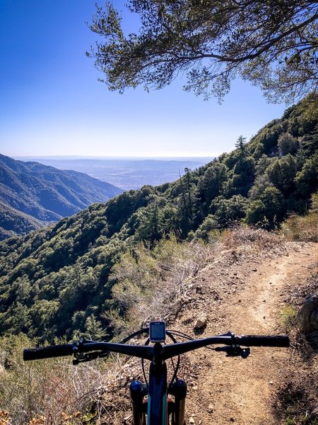
Gabrielino Trail above Chantry Flats
Gabrielino Trail above Chantry Flats
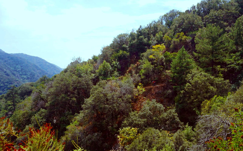
Ross bombs down the "Gabe" from Newcomb's Pass to Sturtevant Camp.
Ross bombs down the "Gabe" from Newcomb's Pass to Sturtevant Camp.
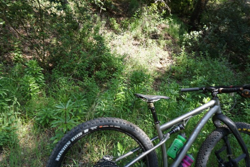
Endangered Humboldt's Lilies grow directly on the Gabrielino in places, be aware and do not disturb them.
Endangered Humboldt's Lilies grow directly on the Gabrielino in places, be aware and do not disturb them.
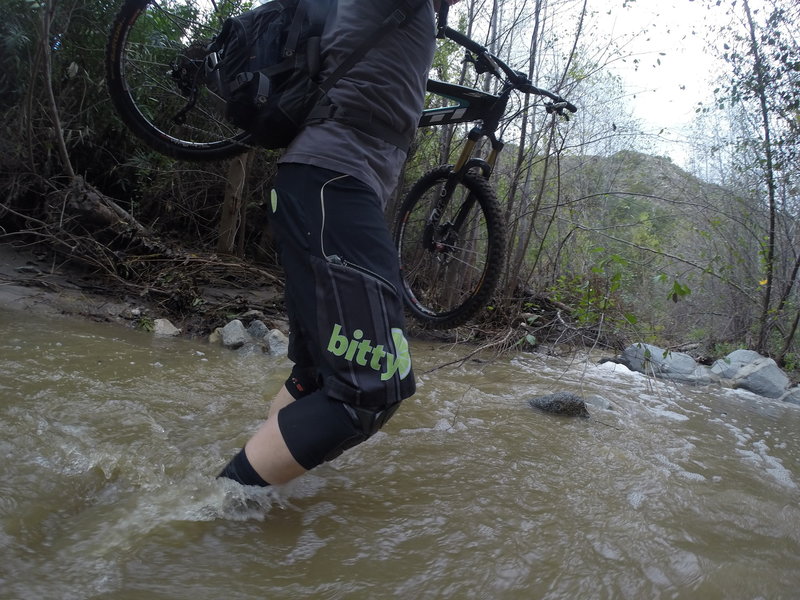
When it rains, the trail can become a bit wet in places.
When it rains, the trail can become a bit wet in places.
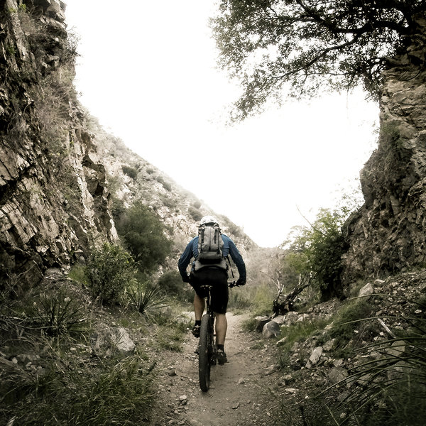
The gap on the Gabrielino Trail.
The gap on the Gabrielino Trail.
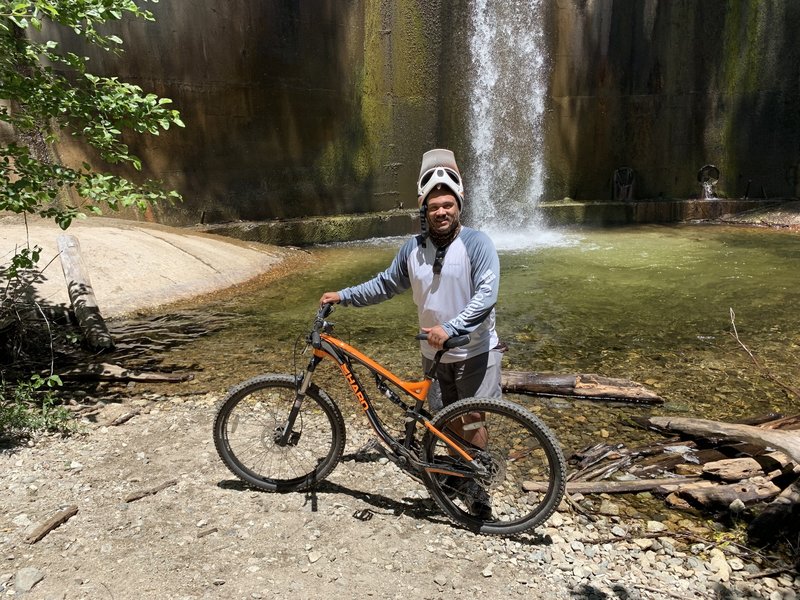
Endgame at the USFS Dam!
Endgame at the USFS Dam!
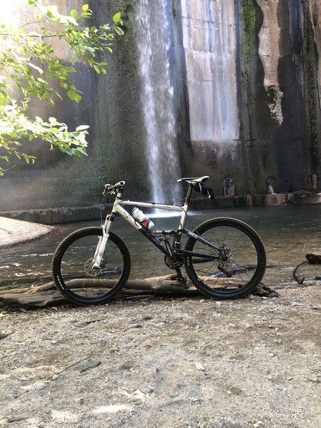
Dam
Dam
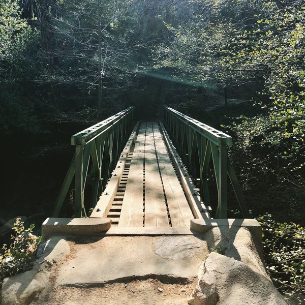
Winter Creek Loop.
Winter Creek Loop.
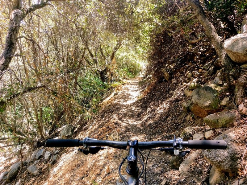
Big boulders, steep shoulders, and plenty of shade on an eastern section of Gabrielino Trail NRT
Big boulders, steep shoulders, and plenty of shade on an eastern section of Gabrielino Trail NRT
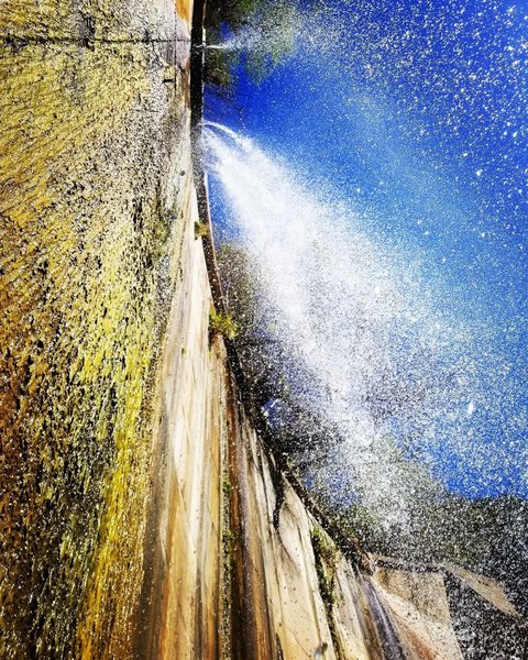
The Dam in February 2018.
The Dam in February 2018.
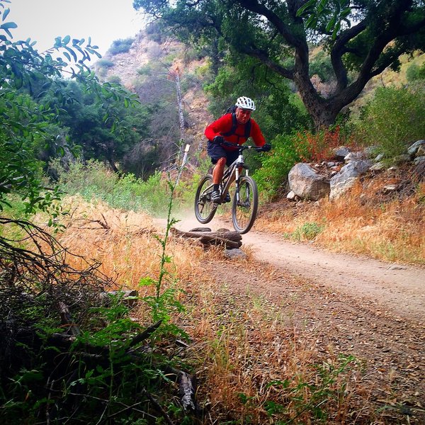
Gotta hit 'em when you see 'em!
Gotta hit 'em when you see 'em!
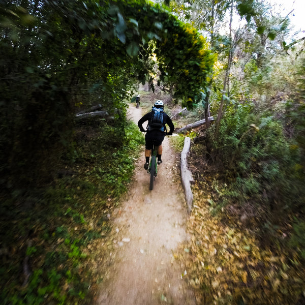
Typical of the singletrack along the Gabrielino Trail trail and the Arroyo.
Typical of the singletrack along the Gabrielino Trail trail and the Arroyo.
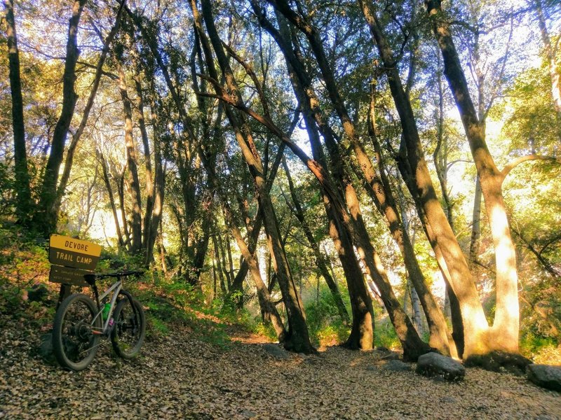
Morning light at Devore Trail Camp on the Gabrielino NRT
Morning light at Devore Trail Camp on the Gabrielino NRT
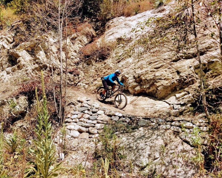
Erik rides a recently restored section of the Gabrielino.
Erik rides a recently restored section of the Gabrielino.
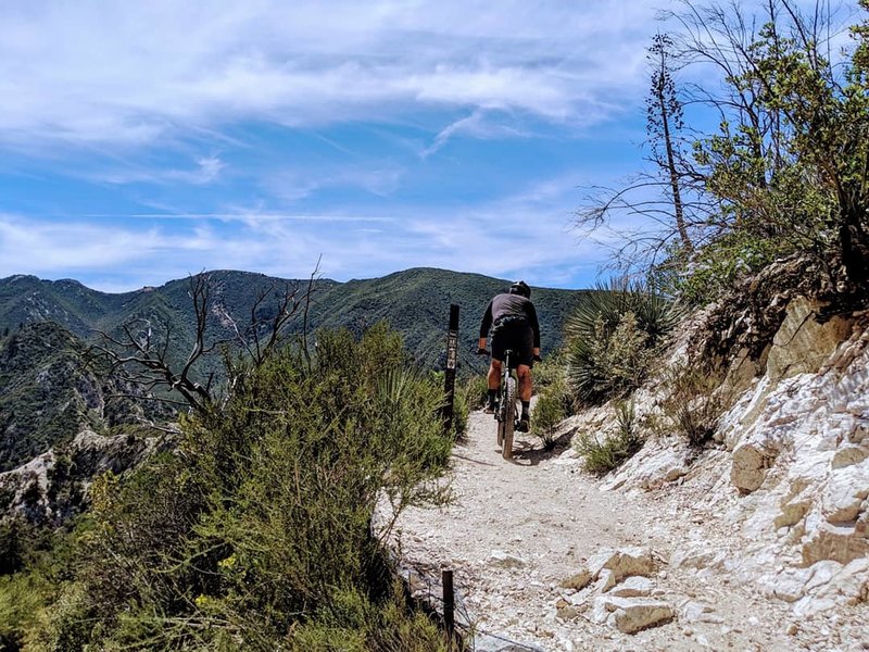
It's (mostly) all downhill from here. Once you pass the Bear Canyon Tr junction the crowds thin out and the views expand grandly.
It's (mostly) all downhill from here. Once you pass the Bear Canyon Tr junction the crowds thin out and the views expand grandly.
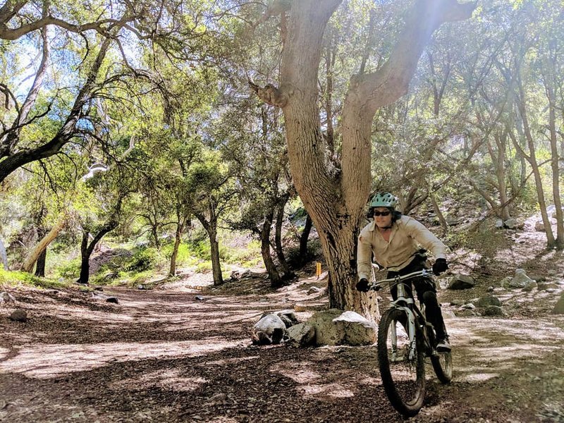
Rolling into idyllic Switzer's Picnic Area after an invigorating ride down from Red Box
Rolling into idyllic Switzer's Picnic Area after an invigorating ride down from Red Box
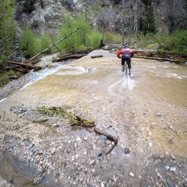
When it rains.....
When it rains.....
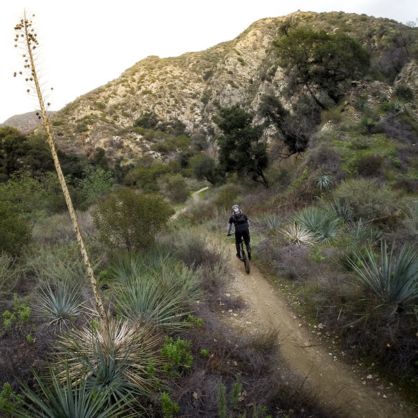
Cruising north on a winter afternoon.
Cruising north on a winter afternoon.
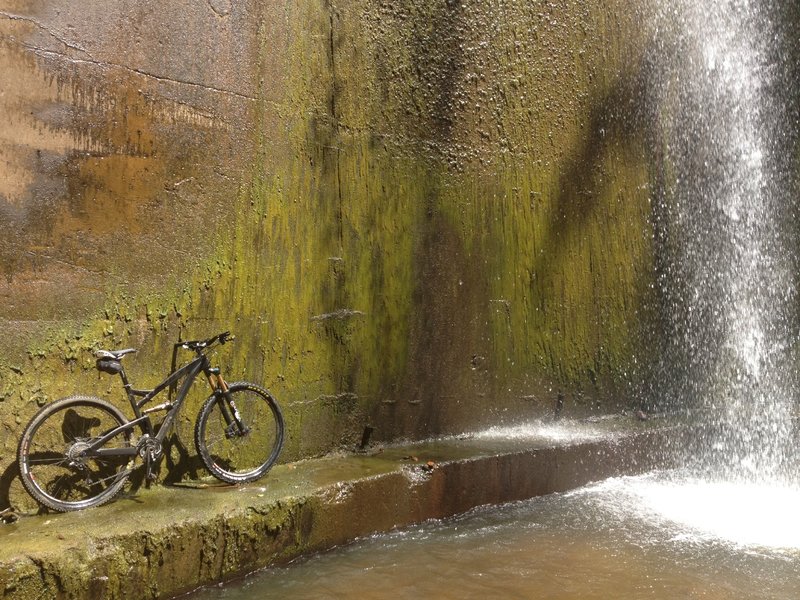
Waterfall over the debris dam.
Waterfall over the debris dam.
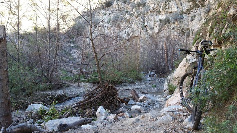
One of the many fun creek / river crossings
One of the many fun creek / river crossings
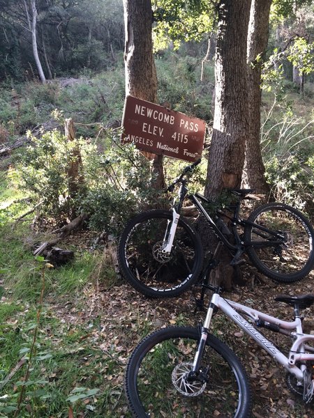
End of the trail.
End of the trail.
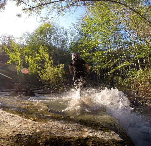
Splash through this water crossing at one of the spillways.
Splash through this water crossing at one of the spillways.
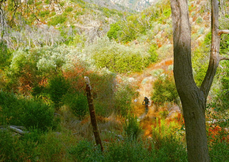
Martino climbs the Gabrielino from Switzers Picnic Area to Red Box.
Martino climbs the Gabrielino from Switzers Picnic Area to Red Box.
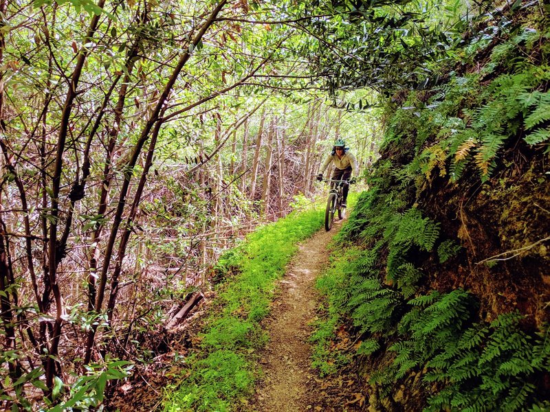
Lush ferns and young, post-fire growth disguise the narrow bench and steep exposure in the Long Canyon section of the Gabrielino
Lush ferns and young, post-fire growth disguise the narrow bench and steep exposure in the Long Canyon section of the Gabrielino
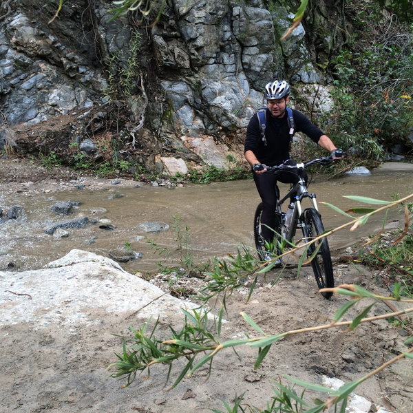
Lots of stream crossings on the way up Gabrielino Trail. It's a challenge not to fall in at least once!
Lots of stream crossings on the way up Gabrielino Trail. It's a challenge not to fall in at least once!
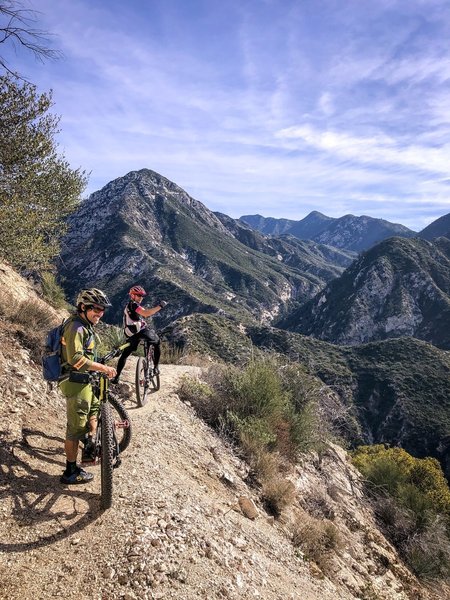
Steve Messer and John Nobil on the newly re-opened Gabrielino Trail
Steve Messer and John Nobil on the newly re-opened Gabrielino Trail
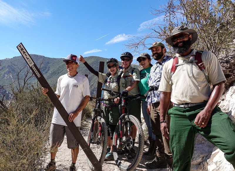
Steve Messer from CORBA removes the closed sign at Bear Canyon Junction on August 24, 2018. The trail is now open all the way through from Chantry to JPL, thank to CORBA, Mount Wilson Bicycling Association, REI and SCE.
Steve Messer from CORBA removes the closed sign at Bear Canyon Junction on August 24, 2018. The trail is now open all the way through from Chantry to JPL, thank to CORBA, Mount Wilson Bicycling Association, REI and SCE.