3.1 hr
Overview
Skyline Drive Trail is a popular route up to the Main Divide Rd from Riverside County. It can be accessed at the back of a Corona neighborhood from Lincoln Ave off Foothill Pkwy. Free parking is well-marked on the Foothill Pkwy cul-de-sac (see map). <br><br>The trail begins as a paved path off Foothill Pkwy and goes behind the neighborhood for a bit. Then it turns into a fire road after the neighborhood ends. The beginning mile is tame but at the first hairpin turn, the climb begins and is relentless for miles. The grade is relatively sustained with a couple tougher sections. There are several offshoots of popular downhill single tracks that traverse the fire road. <br><br>The views of the IE and San Gabriel Mountains are spectacular, especially once you gain some altitude. In the summer, start early because it gets hot. The trail eventually turns into Blackstar Canyon Rd and meets up with the Main Divide Rd shortly after at Beeks Place.
Trail Stats
8.6 km
552 m
847 m
334 m
—
Photos
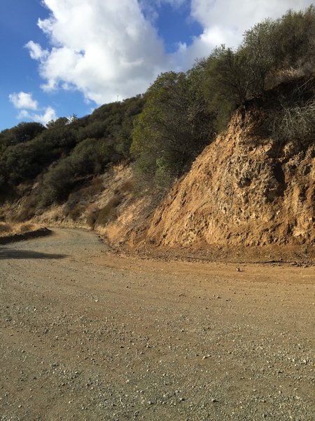
Start of the long, nice downhill ride on Skyline Drive (breeze back to your car).
Start of the long, nice downhill ride on Skyline Drive (breeze back to your car).
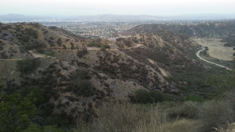
Looking back down Skyline looking east. Corona is in the background
Looking back down Skyline looking east. Corona is in the background
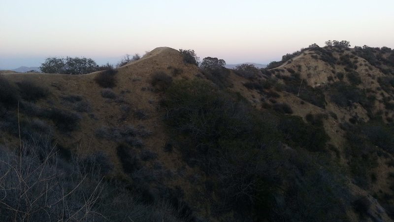
On Skyline looking at one of the singletracks along this razorback. Looking northeast.
On Skyline looking at one of the singletracks along this razorback. Looking northeast.
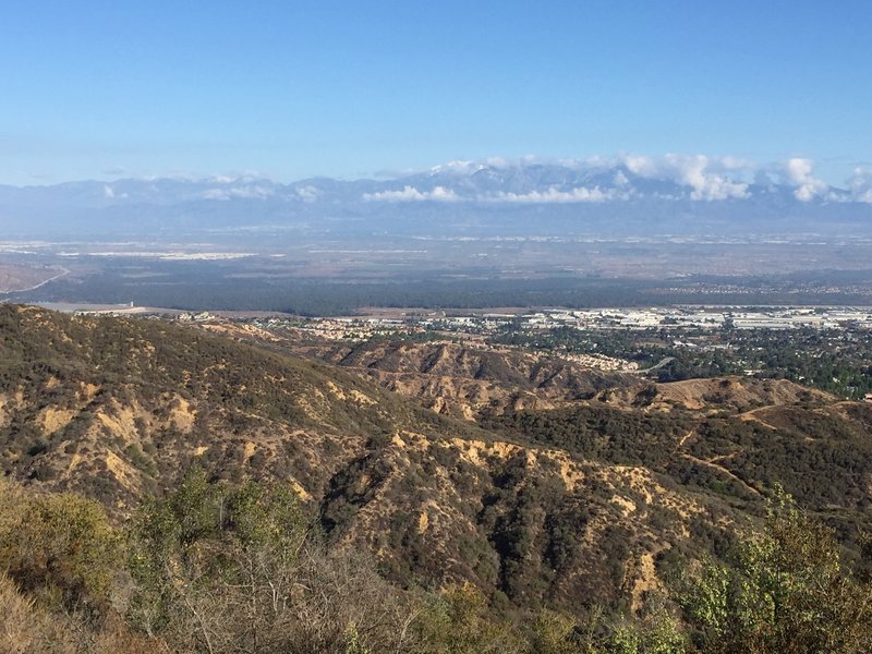
View of IE and Mt Baldy on the up Skyline Drive. You can see the lower parts of the Skyline Drive Trail on the right.
View of IE and Mt Baldy on the up Skyline Drive. You can see the lower parts of the Skyline Drive Trail on the right.
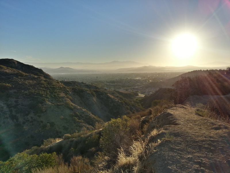
Looking east at Corona
Looking east at Corona