19 min
Overview
Google maps shows this and Fenceline as one continuous trail. But the Crystal Cove State Park map shows it as two separate trails.<br><br>The eastern end of this trail, from Moro Ridge, is hard to find. Near the highest point of Moro Ridge, look for a white sign on the west sticking up out of the bushes. If you begin to descend Moro Ridge, which soon ends at Bommer Ridge, then you've gone too far.<br><br>After the white sign, Missing Link climbs slightly, twisting along the way to a wide, dirt staging area at the top of a plateau. The trail drops steeply down from there, cascading down some mild rock falls, and ruts. Soon the trail becomes mostly flat, but still has some small ups and downs as it flows, twisting through cactus and scrub brush.<br><br>Keep going straight when the trail crosses a trail named (Elevator - 15-20% STEEP!), near a fence and a trail map kiosk. It finally ends with a quick drop to Slow 'N Easy.
Trail Stats
1.1 km
20 m
306 m
279 m
—
Photos
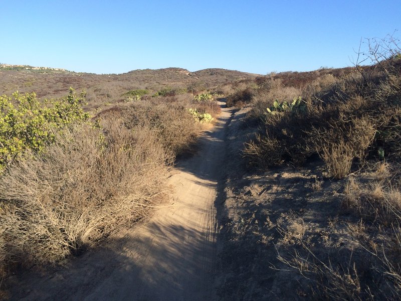
Near the east end of Fenceline looking west(ish)
Near the east end of Fenceline looking west(ish)
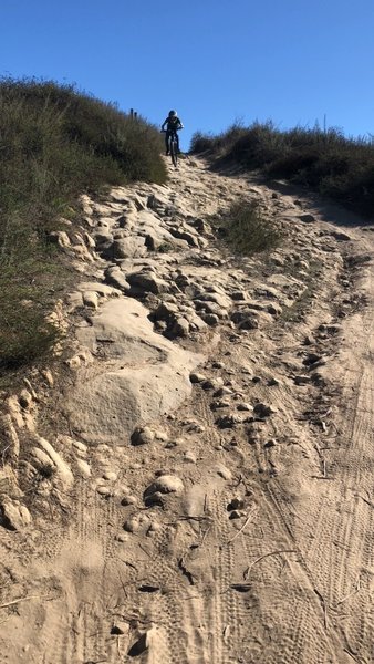
From the top of Missing Link take the right line for a little rock and roll.
From the top of Missing Link take the right line for a little rock and roll.