21 min
Overview
This trail, when combined with Lower Holy Jim Trail, is one of the best mountain bike trails in Orange County. It's an absolutely epic ride down to the valley floor that covers somewhere in the neighborhood of 4000 vertical feet of downhill bliss.<br><br>From the unmarked trailhead, pick your way between bushes and watch out for those rock drops or they'll eat you alive. The trail is usually two feet wide, but the head-high bushes sometimes cut that width down. There's a six inch deep rut down the center of some sections which leaves maybe a foot on either side of it. <br><br>Oh yeah, it's steep, sandy and littered with loose rocks/boulders. Don't be ashamed to walk the worst sections, it may save you a lot of pain and an expensive helicopter ride. The switchbacks are sometimes buried within a maze of overhead bushes/trees, and sometimes on the edge of exposed cliffs with views that will take your breath away. <br><br>Eventually the trail will dump you out onto Main Divide Rd facing east. You'll need to head in the opposite direction, so do a hard right u-turn around and pedal the easy road to Lower Holy Jim Trail.
Trail Stats
1.4 km
0 m
1479 m
1229 m
—
Photos
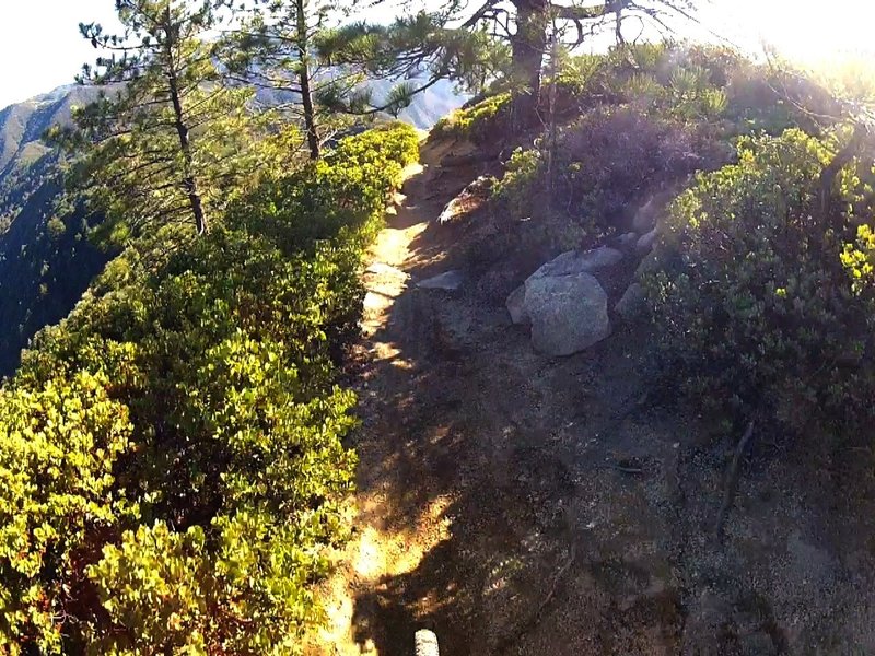
Feels like you're on top of the world.
Feels like you're on top of the world.
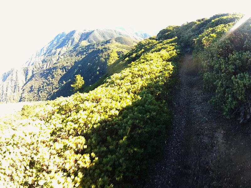
Unbelievable view after coming out of a tree tunnel.
Unbelievable view after coming out of a tree tunnel.
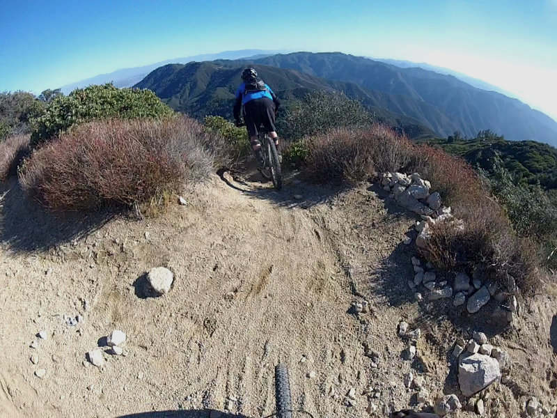
Hold on! This is the start of a crazy drop into a trail you'll want to come back to over and over again.
Hold on! This is the start of a crazy drop into a trail you'll want to come back to over and over again.
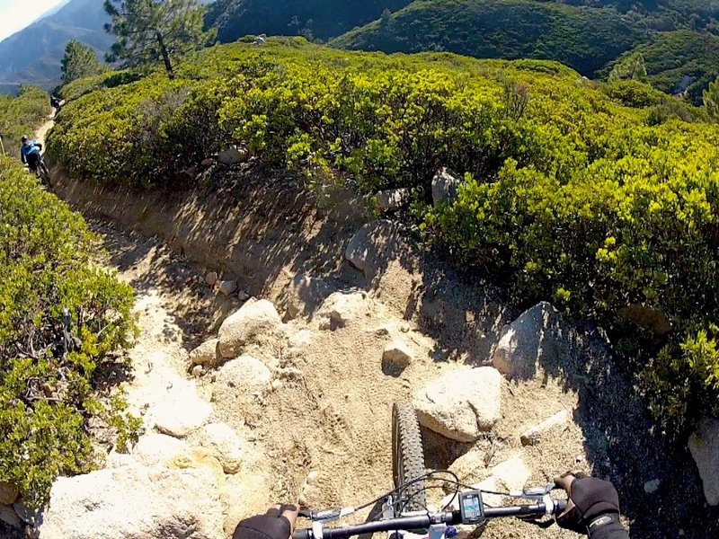
The first of many drops on loose rocks.
The first of many drops on loose rocks.