8 min
Overview
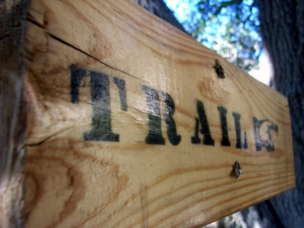
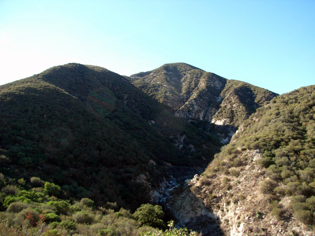
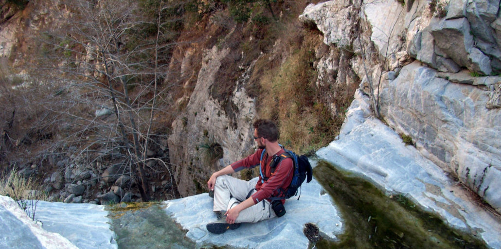
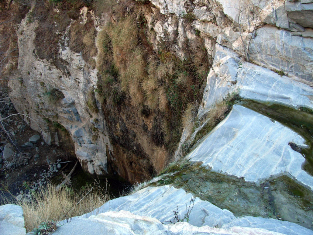
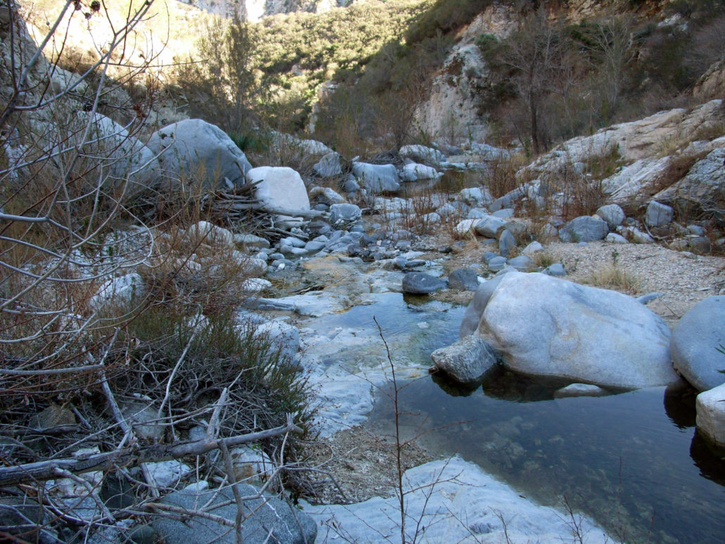
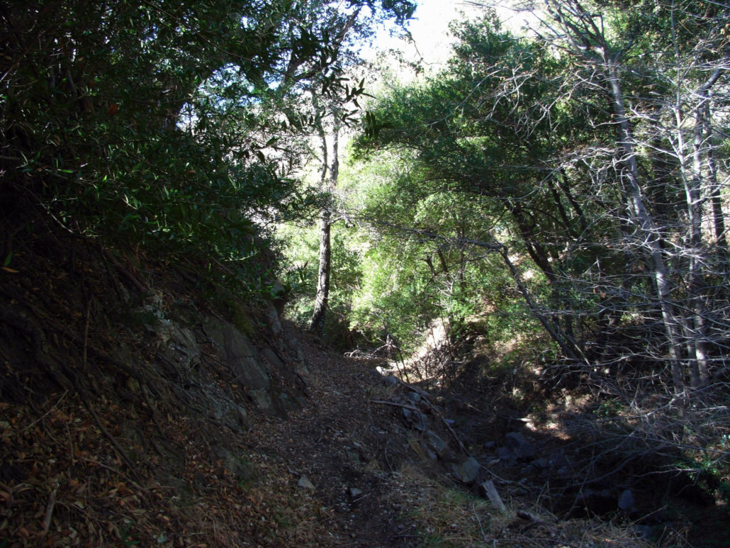
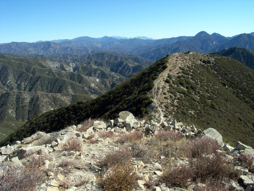
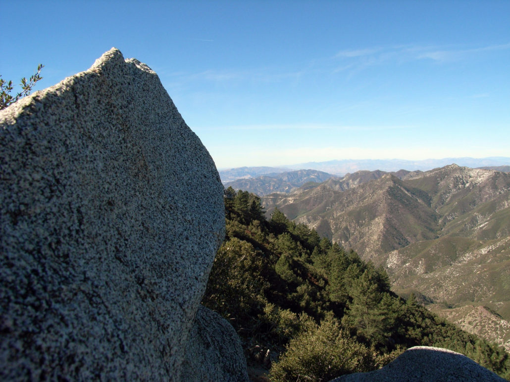
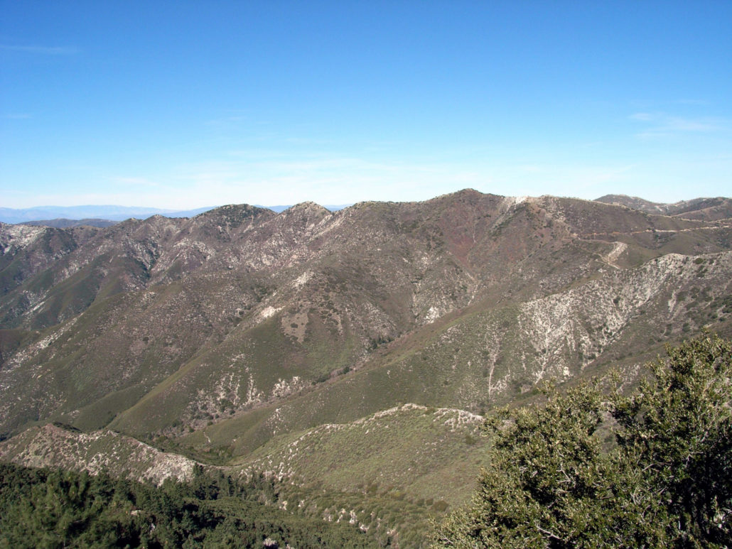
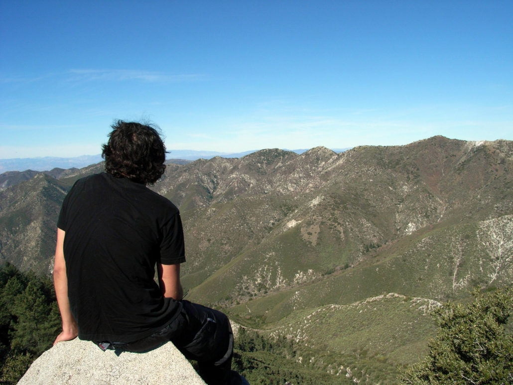
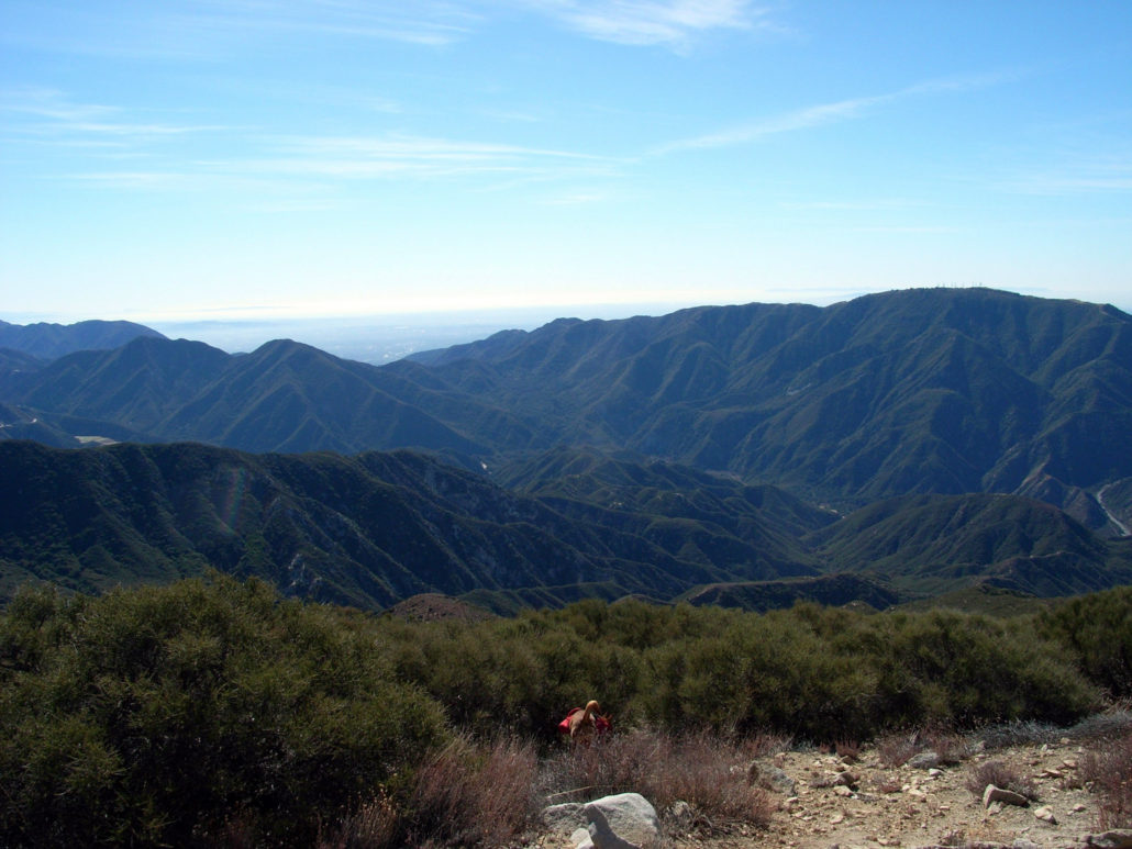
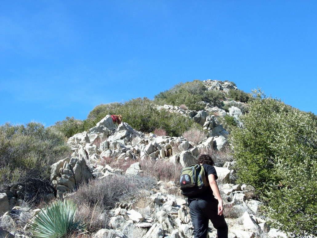
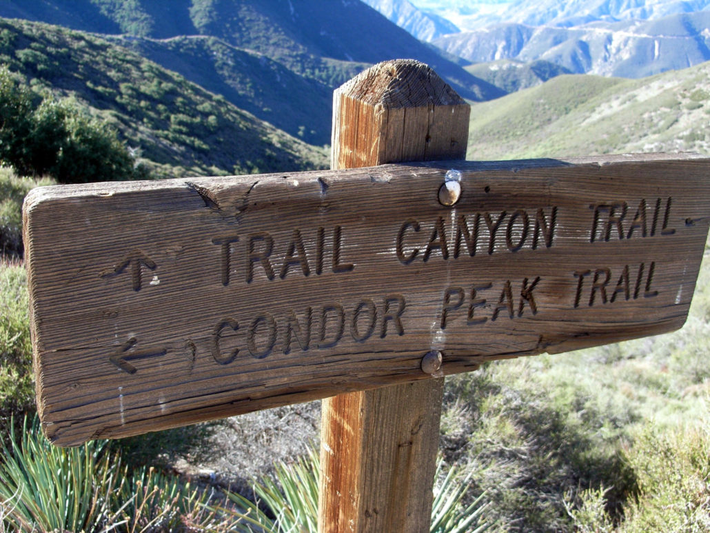
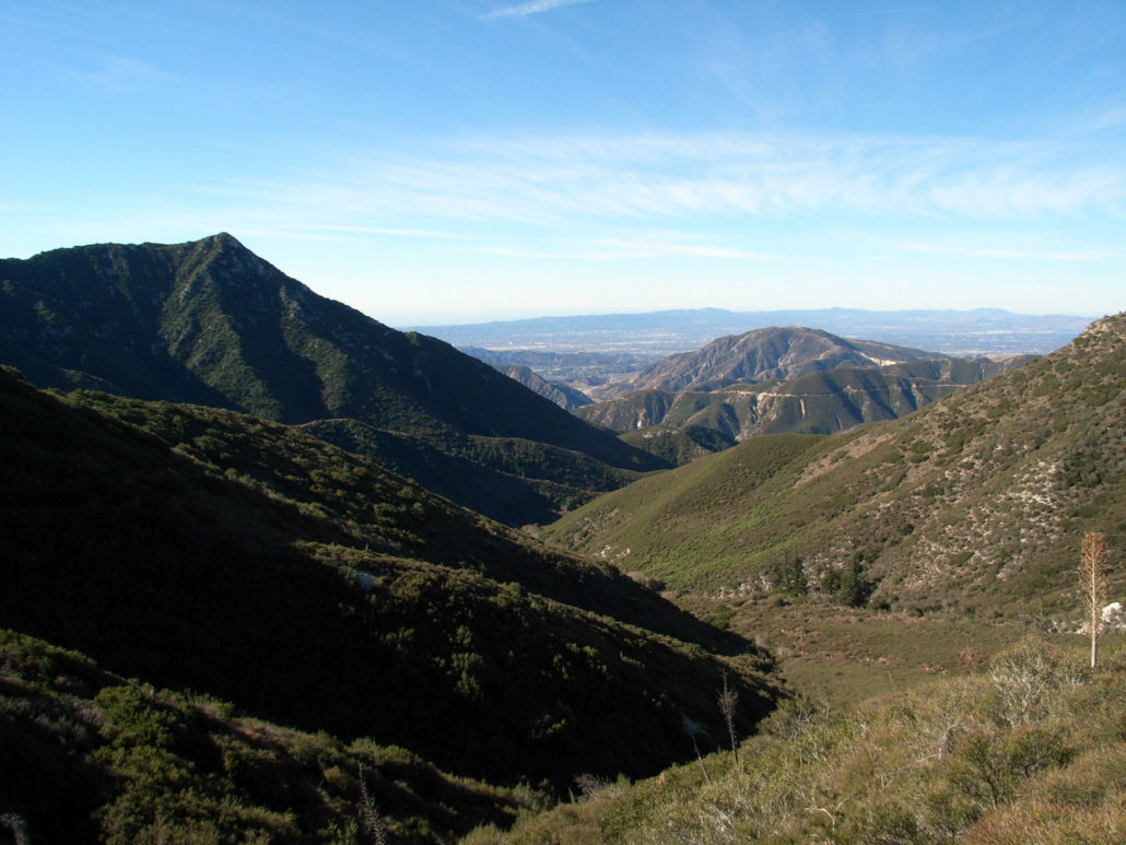
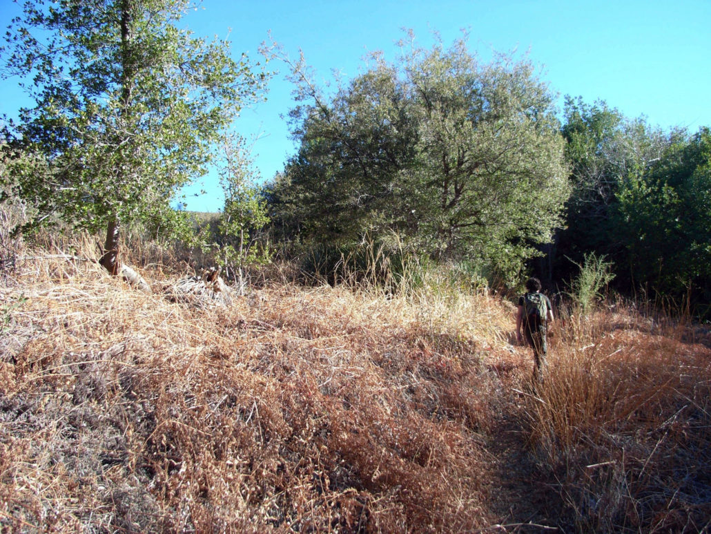
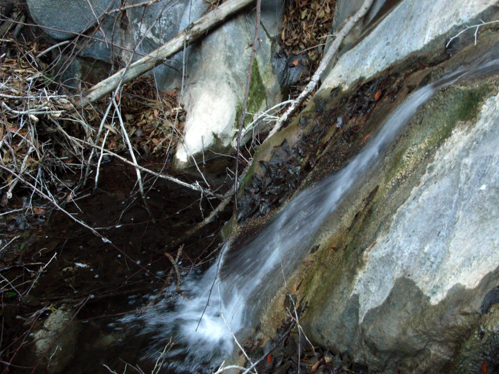
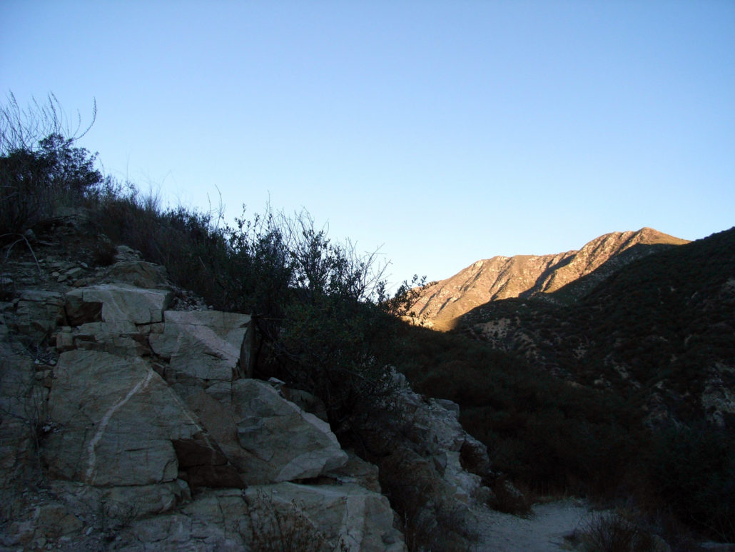
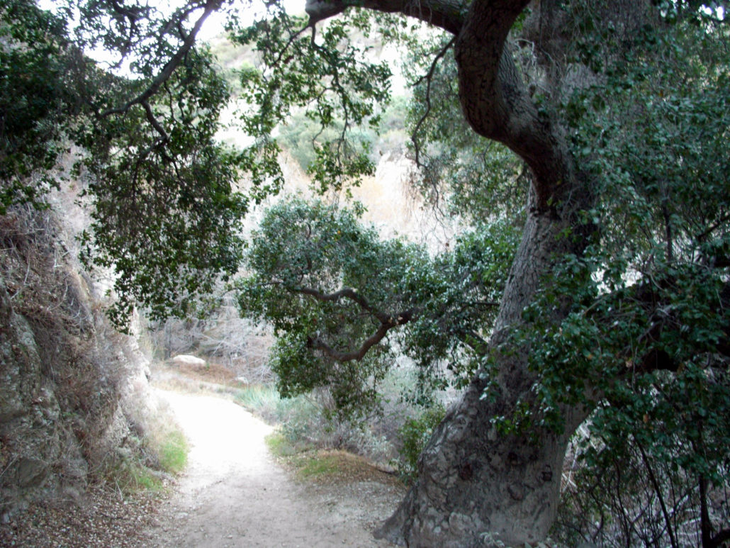
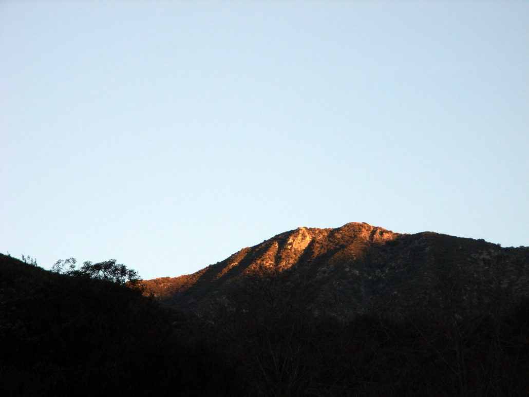
A long-distance trail, his hike has just about everything that makes hiking in Southern California great. Stream crossings and boulder scramblings, sycamore groves and chaparral, shady canyons, waterfalls, mountain peaks and more. And you don’t even have to hike the whole way to see it. NOTE: This trail was heavily damaged in the Station Fire but has been reopened as of May 24, 2012. Reports from hikers and trail crews have consistently said the trail is currently only passable to just a bit north of Trail Canyon Falls. Beyond that, the trail to Condor Peak has all but vanished. Only attempt this if you have excellent routefinding skills and are OK with basically bushwhacking on an unmaintained trail that has essentially been abandoned. Shortly after 6AM, my friend Will and I were suited up and cruising through the otherworldly trafic-less-ness of the San Fernando Valley. We’d reached the trailhead by about 6:35 – much earlier than I’d expected – and made our way in as the first beams of sunlight illuminated the peaks around us. I realized as we made our way around some of the old Forest Service cabins near the trailhead that this path was actually the very first trail I ever hiked in the Angeles National Forest. Waaay back in the by-gone days of 2006. I cut my teeth on some simple hikes in the Santa Monica Mountains and an easy summit in Joshua Tree earlier, and I heard there was a nice waterfall up on this trail. My first stream crossings were overly cautious affairs, and I didn’t do much other than hike about 3 miles in, lounge around the waterfall for a while, and hike out. 6 miles was a very big deal back then. Not anymore. The light was low, but the trail came back to me as we crossed the small-but-steady Trail Canyon Creek and made our way over a handful of stream crossings, the stream providing a gentle gurgling white noise that accompanied us for most of our way along the canyon floor. Every once in a while, as we slowly gained elevation, we had to turn back to see the mountains unfolding before us in
Trail Stats
24.5 km
1219 m
1625 m
559 m
—
Photos
Trail photo
No caption provided.
Trail photo
No caption provided.
Trail photo
No caption provided.
Trail photo
No caption provided.
Trail photo
No caption provided.
Trail photo
No caption provided.
Trail photo
No caption provided.
Trail photo
No caption provided.
Trail photo
No caption provided.
Trail photo
No caption provided.
Trail photo
No caption provided.
Trail photo
No caption provided.
Trail photo
No caption provided.
Trail photo
No caption provided.
Trail photo
No caption provided.
Trail photo
No caption provided.
Trail photo
No caption provided.
Trail photo
No caption provided.
Trail photo
No caption provided.
Trail photo
No caption provided.
Trail photo
No caption provided.
Trail photo
No caption provided.
Trail photo
No caption provided.
Trail photo
No caption provided.
Trail photo
No caption provided.
Trail photo
No caption provided.