8 min
Overview
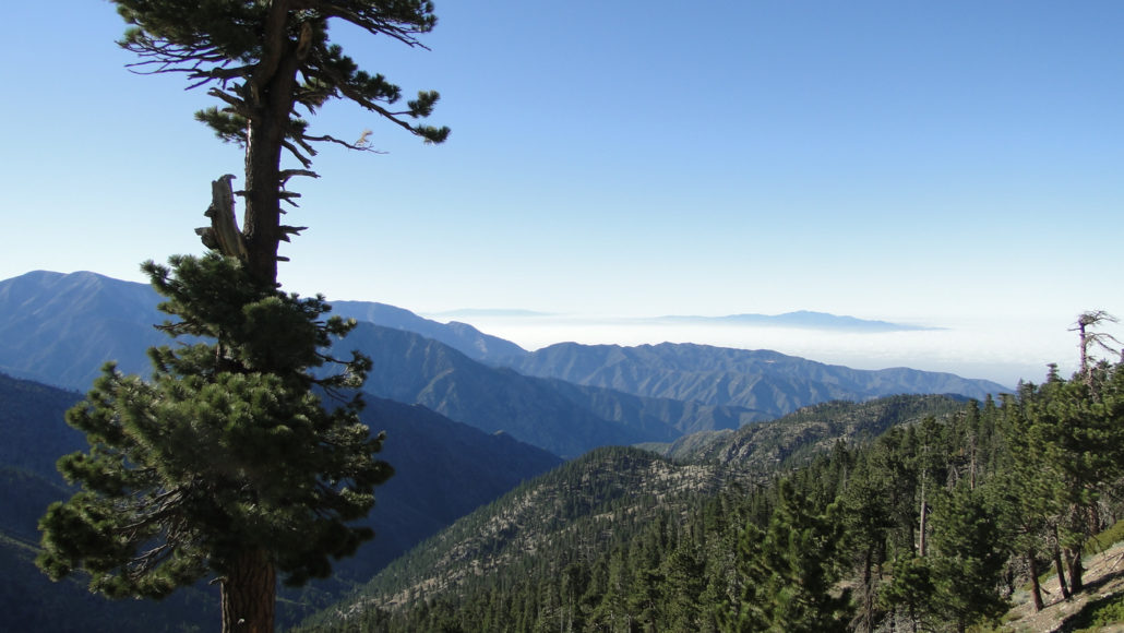
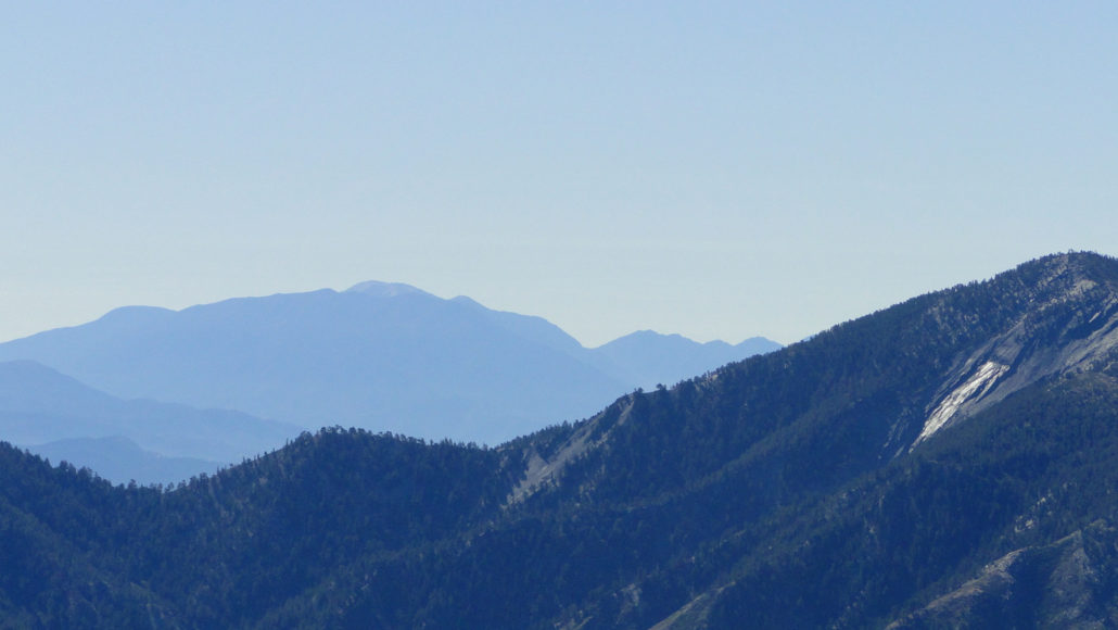
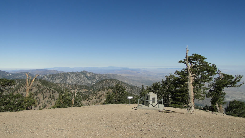
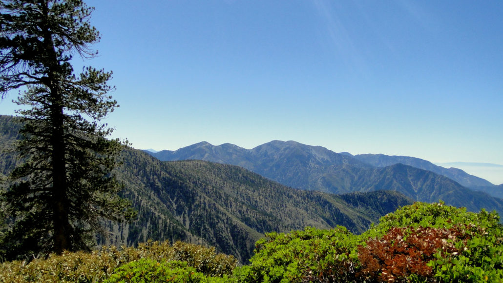
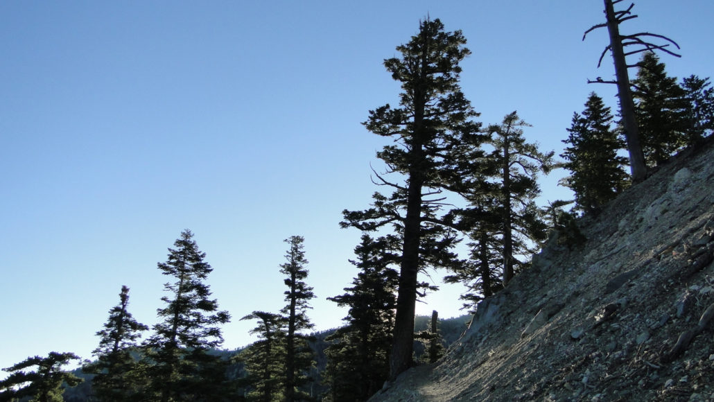
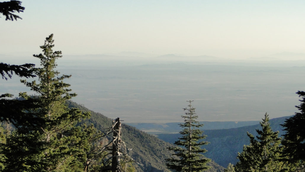
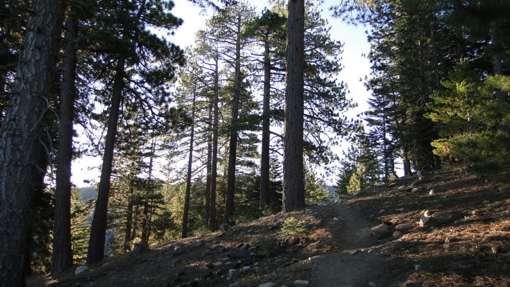
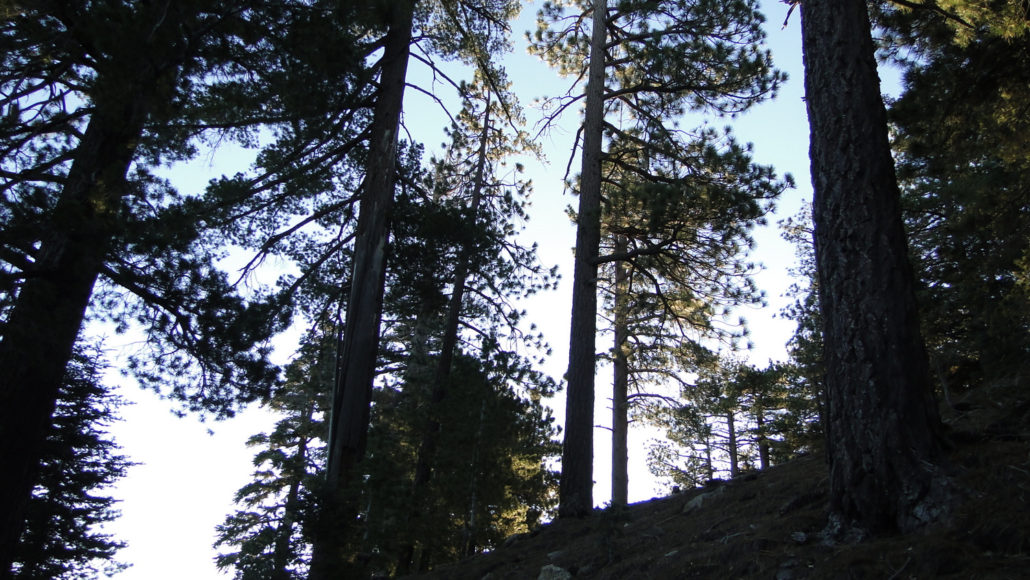
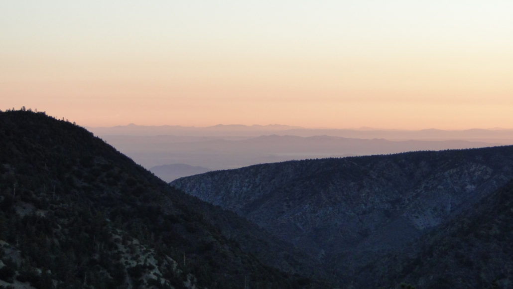
For most hikers, the trip up to Mt. Baden-Powell involves a relatively straight-forward switchbacking route up from Vincent Gap. This popular 4 mile stretch of the Pacific Crest Trail marches crookedly up the northeast side of the peak, and on any given weekend, a fairly steady steady stream of dayhikers and backpackers can be found making their laborious ways to the summit. If you’re looking for a touch more solitude and an entirely different way to experience Mt. Baden-Powell, consider this longer route: follow the combined PCT/Silver Mocassin Trail east from Islip Saddle, past Little Jimmy trail camp, along a ridge with side trips to Mt. Hawkins, Throop Peak, and Mt. Burnham, before finally reaching the summit. While this route is twice as long, it only gains about 400 more feet of elevation gain than the Vincent Gap route, making for a much more gradual ascent. Additionally, this route mostly sticks to a high ridge looking both north over the Mojave Desert and south over the L.A. Basin, providing consistently good views from start to finish. Ambitious hikers can attempt to bag the aforementioned peaks in addition to nearby Mt. Islip. Backpackers can stay at Little Jimmy trail camp to turn this trip into a two-night affair. From the staging area on the north side of Angeles Crest Highway, cross the road and pick up the PCT tread heading south (technically, east). The trail makes an initial climb out of the saddle to gain a ridge. Once on the ridge, the trail will wrap around the forested north side of Mt. Islip. Along this first two miles, you’ll be treated to views across the broad expanse of the Mojave Desert. This view is especially rewarding on cool, clear mornings when visibility is at its highest. At around two miles, the PCT reaches Little Jimmy trail camp, which is a fine places to set up shop for a more extended exploration. No permits are required to camp at Little Jimmy, and there are a number of shady campsites. Water can be found (at least when we’re not in a crippling drought) at nearby Littl
Trail Stats
25.9 km
975 m
2871 m
2027 m
—
Photos
Trail photo
No caption provided.
Trail photo
No caption provided.
Trail photo
No caption provided.
Trail photo
No caption provided.
Trail photo
No caption provided.
Trail photo
No caption provided.
Trail photo
No caption provided.
Trail photo
No caption provided.
Trail photo
No caption provided.
Trail photo
No caption provided.