48 min
Overview
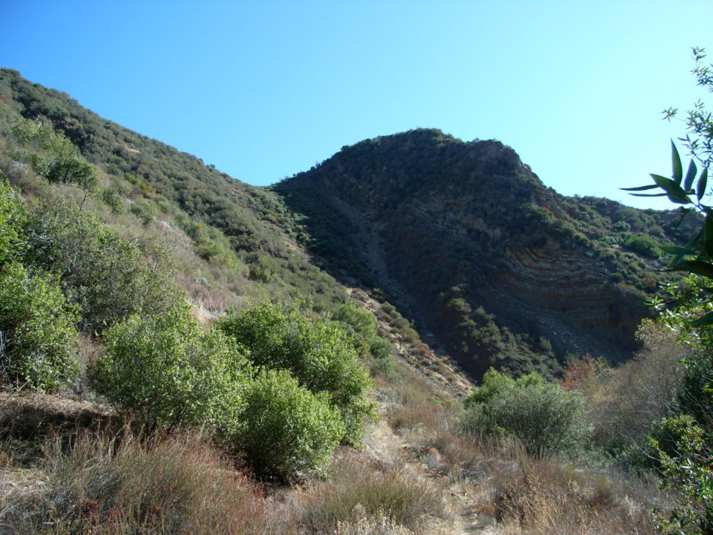
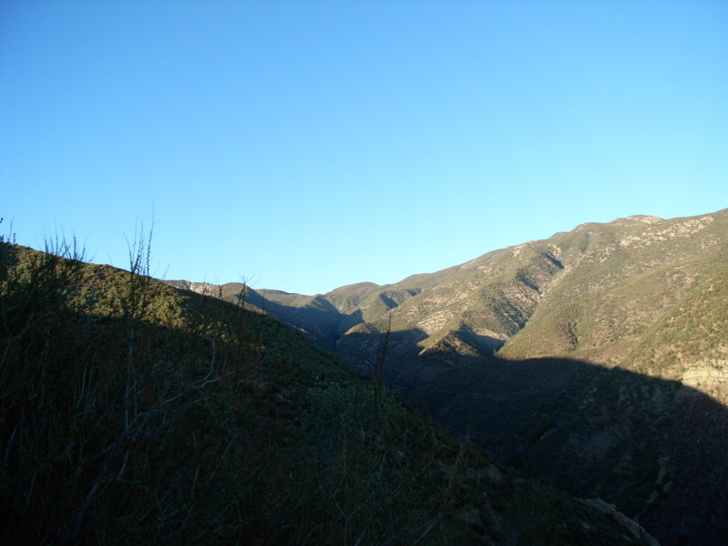
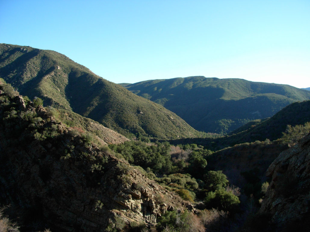
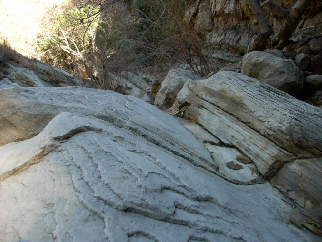
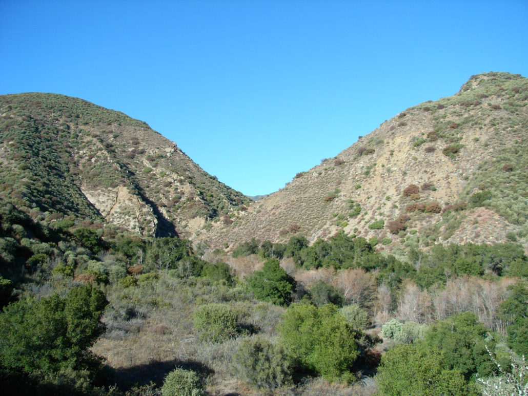
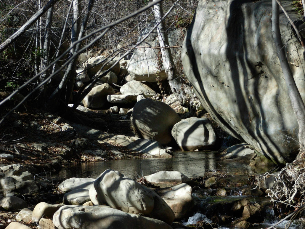
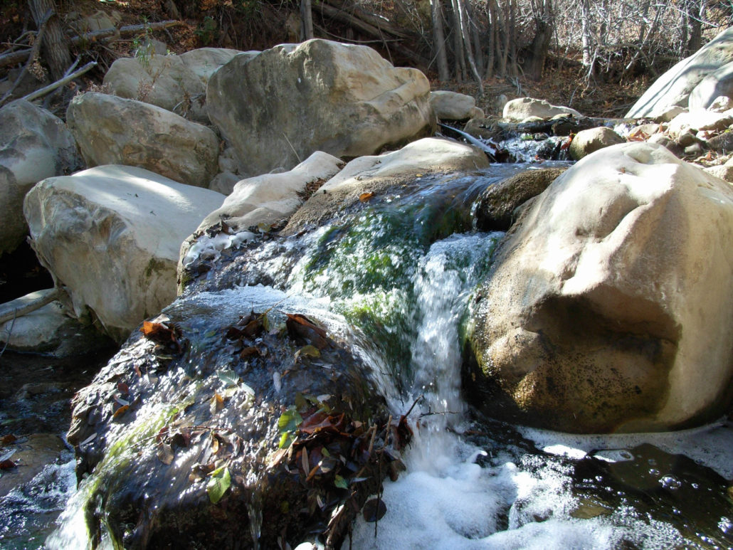
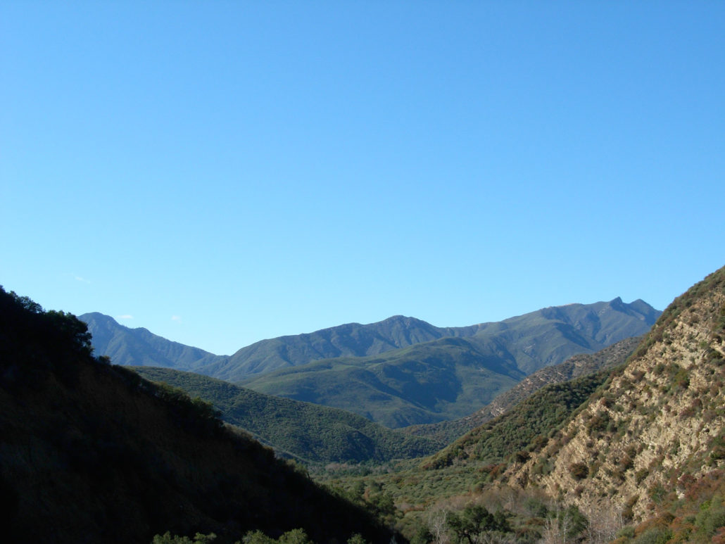
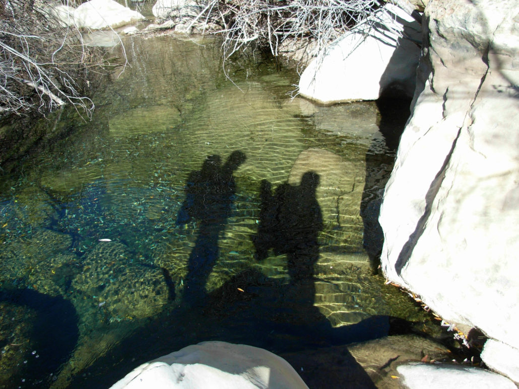
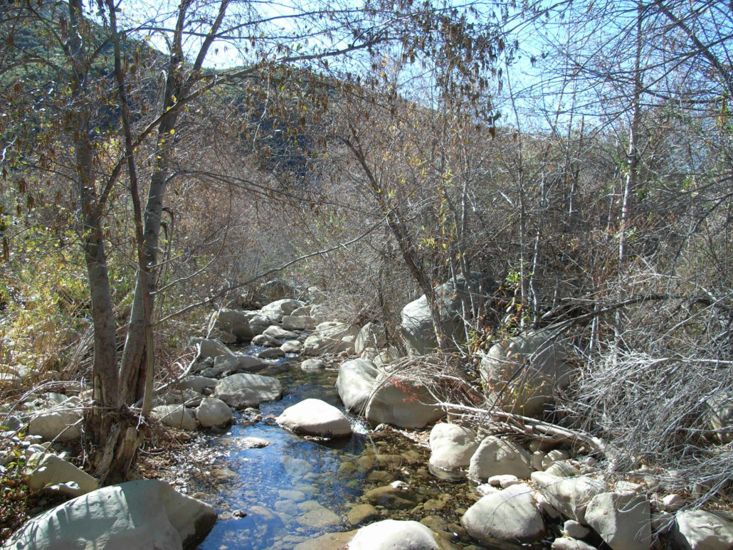
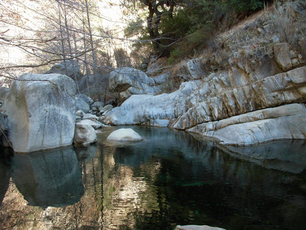
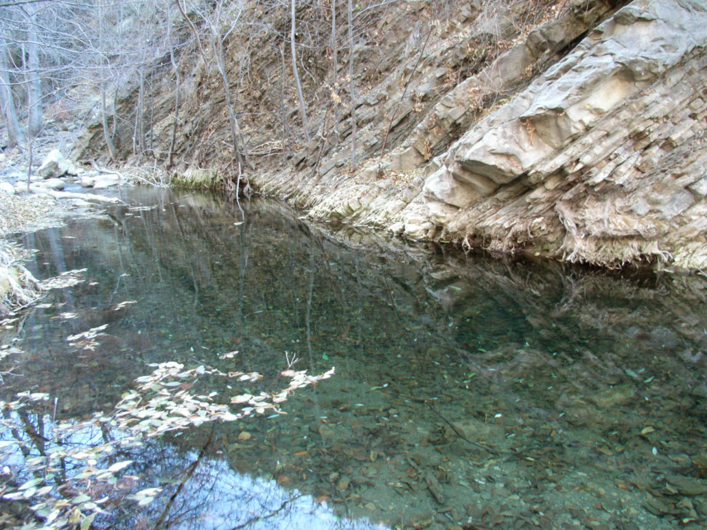
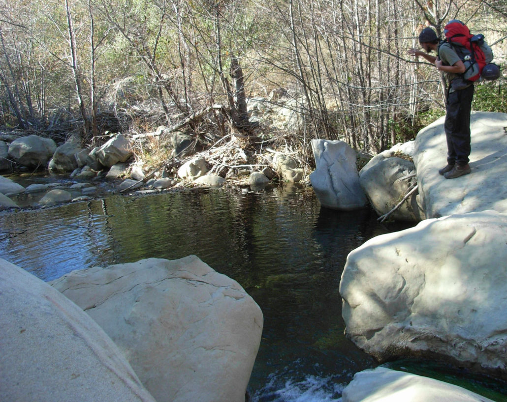
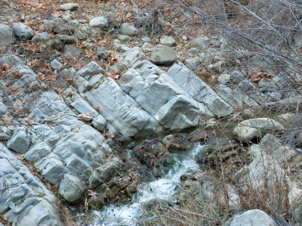
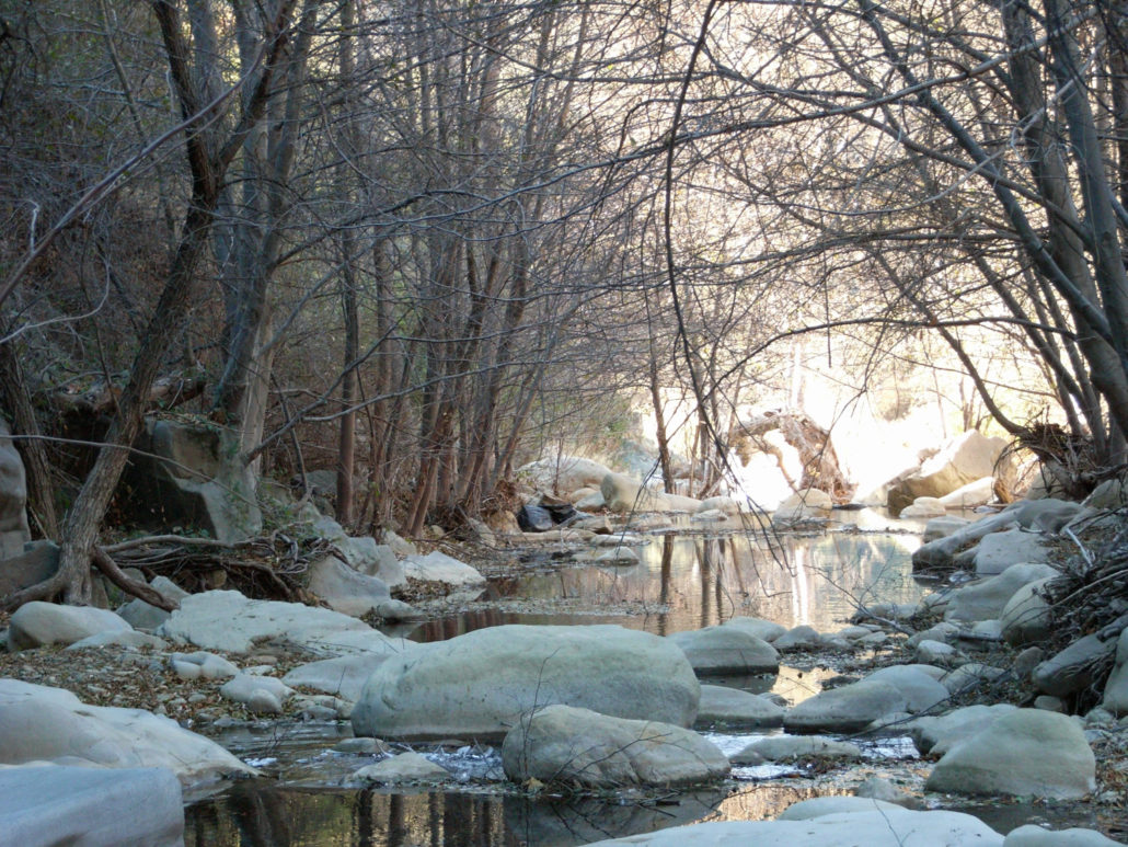
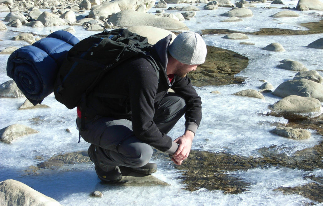
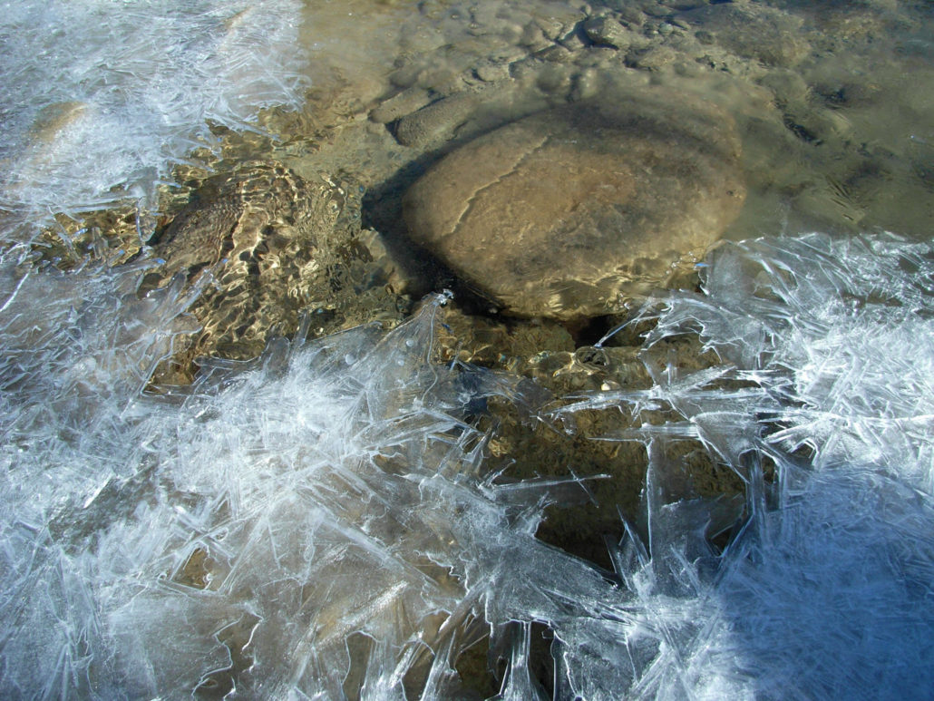
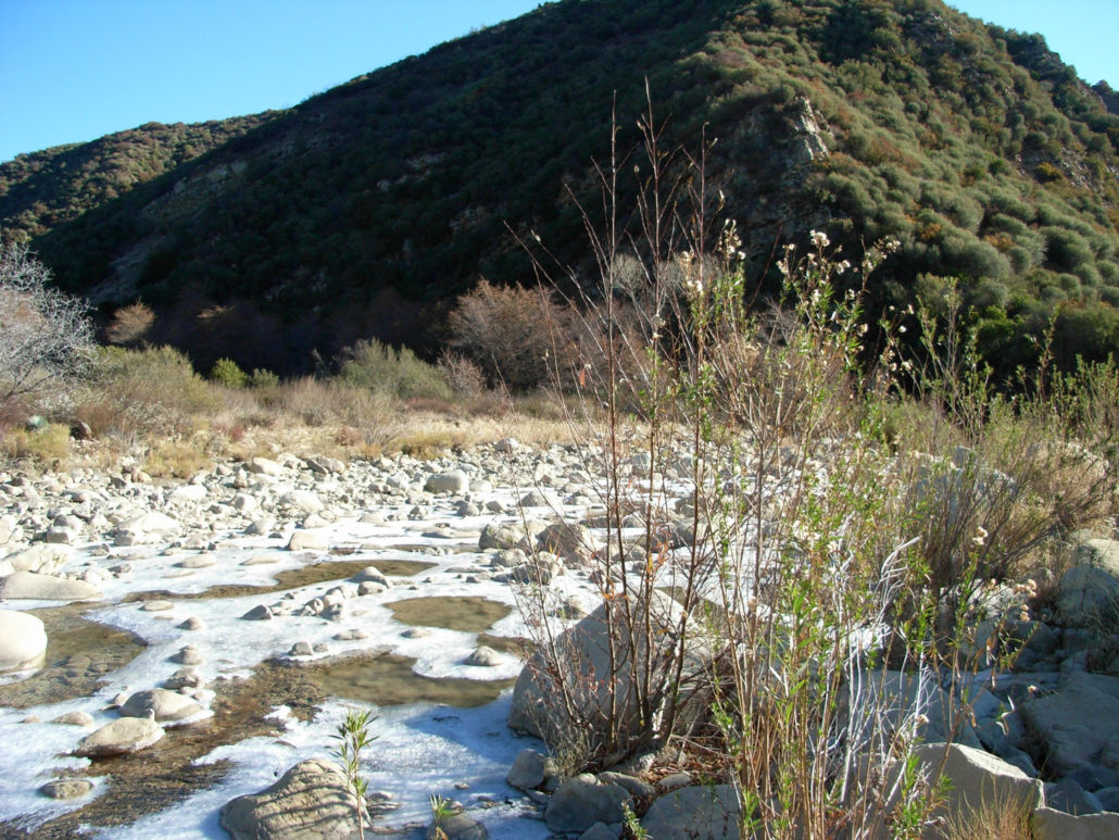
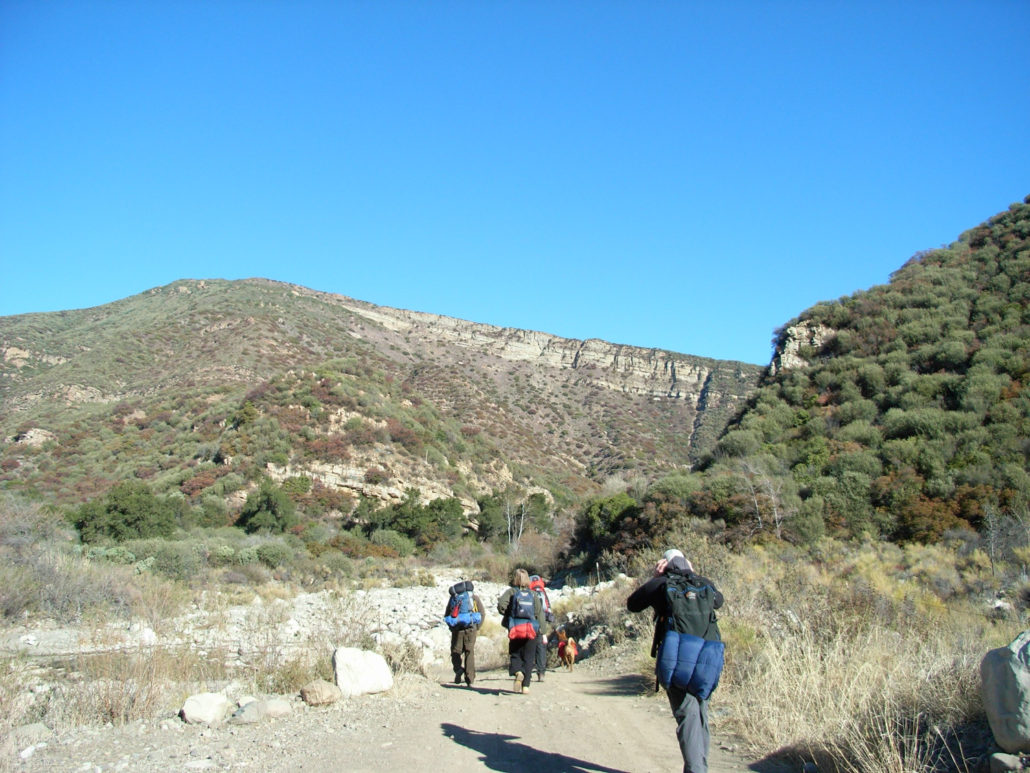
A beautiful, isolated, and rugged river canyon in the Los Padres National Forest. Lots of river crossings, swimming holes, fascinating geology, and opportunities for off-trail adventuring. WARNING: This area is involved in a lengthy and particularly nasty land battle with a private owner. From mid 2010 onward, hikers have been harassed by the landowner near the trailhead, and it appears hikers’ vehicles are being broken into with increasing frequency – which may or may not be related to the land ownership issue. Hikers and backpackers are encouraged to exercise caution, avoid leaving valuables in their cars, and keep up on their insurance payments until the situation can be resolved. Things could have gone bad on this trip. Really bad. There are a set of unofficial ‘rules’ for hiking – essential equipment, planning, backups, etc. This is what happens when you ignore all of them. My friend Will and I spent a tidy sum of cash on backpacking equipment for our last wilderness adventure in the San Bernardinos. That particular trail had a sizable elevation gain, and did a number on our regular hiking speed and the achiness of our legs. So when Will proposed the relatively flat trail into Matilija Creek as a second trip, I was all for it. Early Sunday morning, Will, Nick and I took a long drive up the 101 to Ojai, stopping to pick up some last minute food supplies before venturing into the Los Padres National Forest. Winding our way down Matilija Road, we passed several isolated cabins and an inviting-looking dam-built lake before parking at the trailhead and waiting for our fellow backpackers – Glen and Liz – to arrive. It was a beautiful morning, the skies clear and cold. Weather in the area had seen record lows the past few nights, but this evening’s forecast called for a comfortable thirty degrees. No problem!After our companions arrived, our hike began through the middle of a wildlife reserve and apparent resort getaway. This barn looks like a charming retreat home, but I don’t know if I’d spend seven-hundred buc
Trail Stats
22.0 km
399 m
1054 m
469 m
—
Photos
Trail photo
No caption provided.
Trail photo
No caption provided.
Trail photo
No caption provided.
Trail photo
No caption provided.
Trail photo
No caption provided.
Trail photo
No caption provided.
Trail photo
No caption provided.
Trail photo
No caption provided.
Trail photo
No caption provided.
Trail photo
No caption provided.
Trail photo
No caption provided.
Trail photo
No caption provided.
Trail photo
No caption provided.
Trail photo
No caption provided.
Trail photo
No caption provided.
Trail photo
No caption provided.
Trail photo
No caption provided.
Trail photo
No caption provided.
Trail photo
No caption provided.
Trail photo
No caption provided.
Trail photo
No caption provided.