6 min
Overview
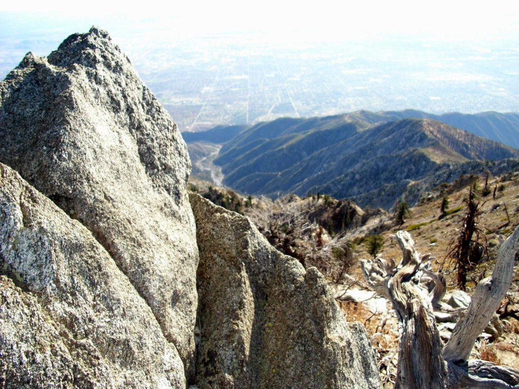
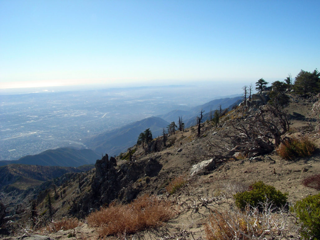
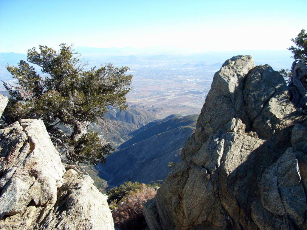
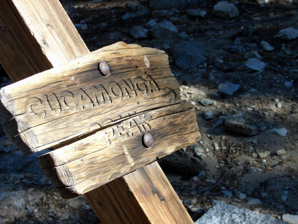
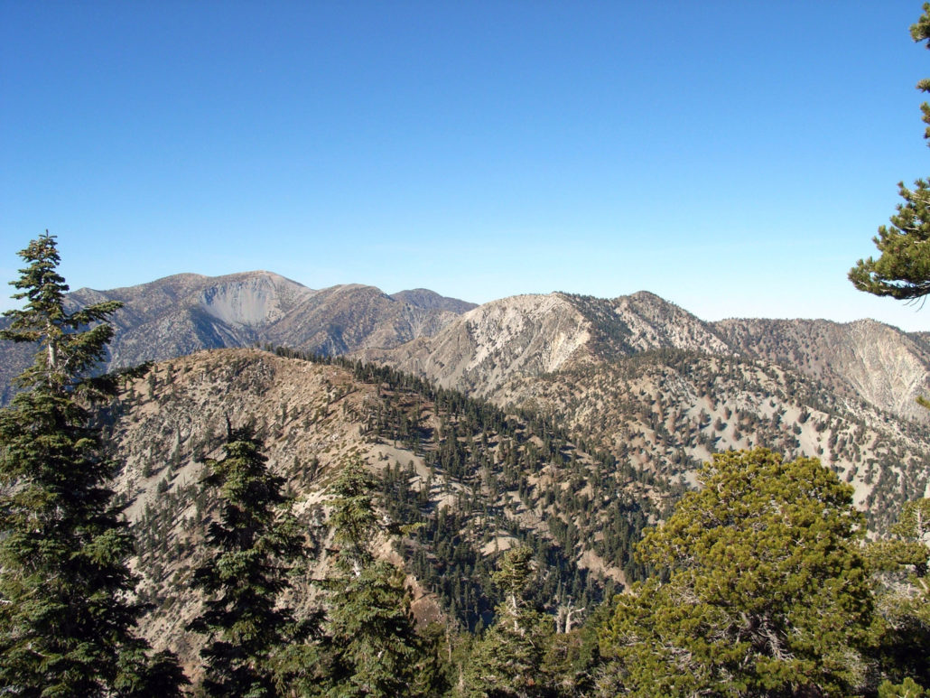
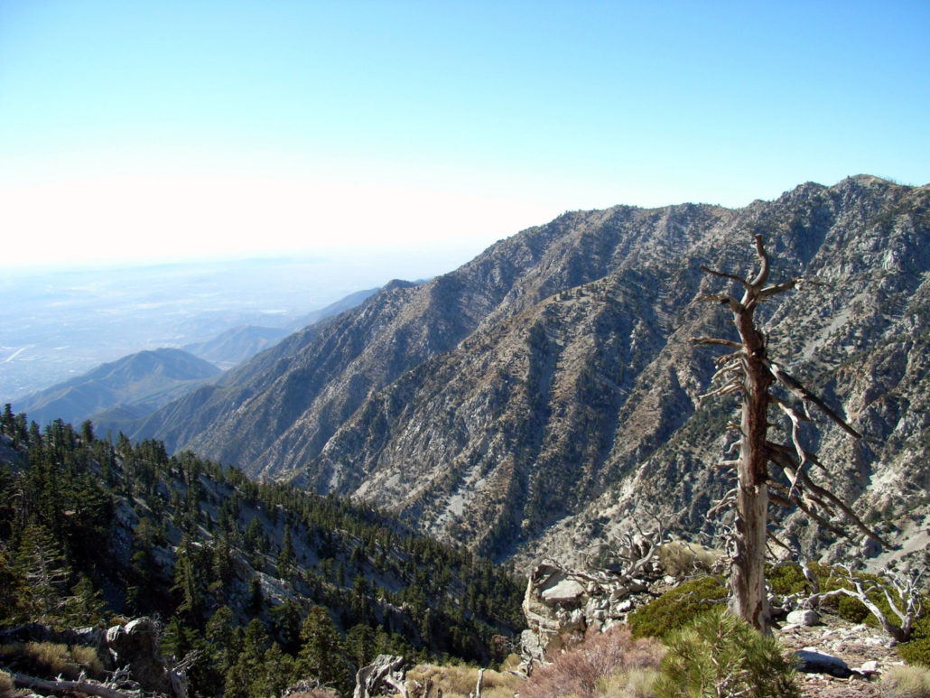
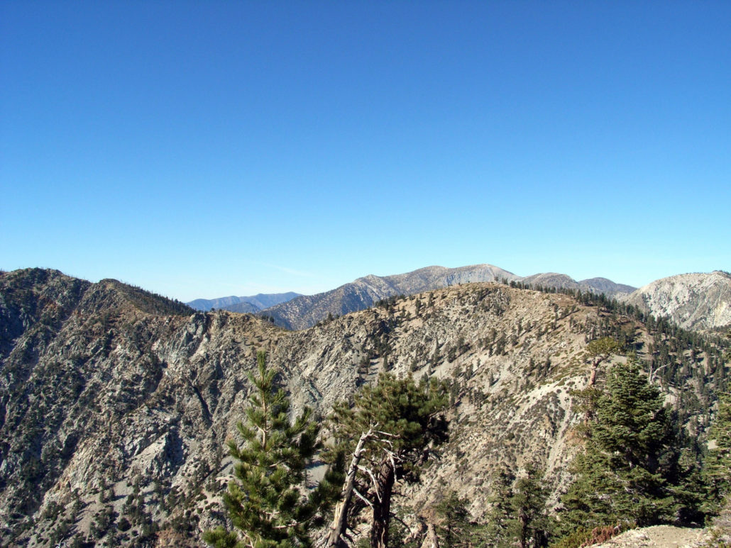
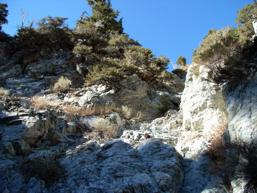
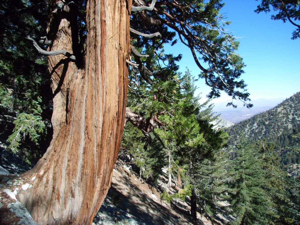
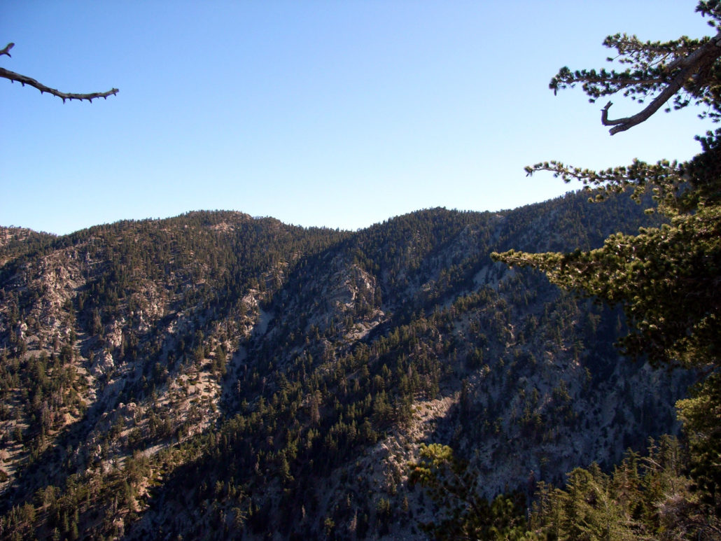
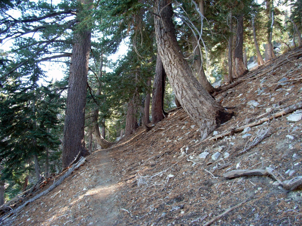
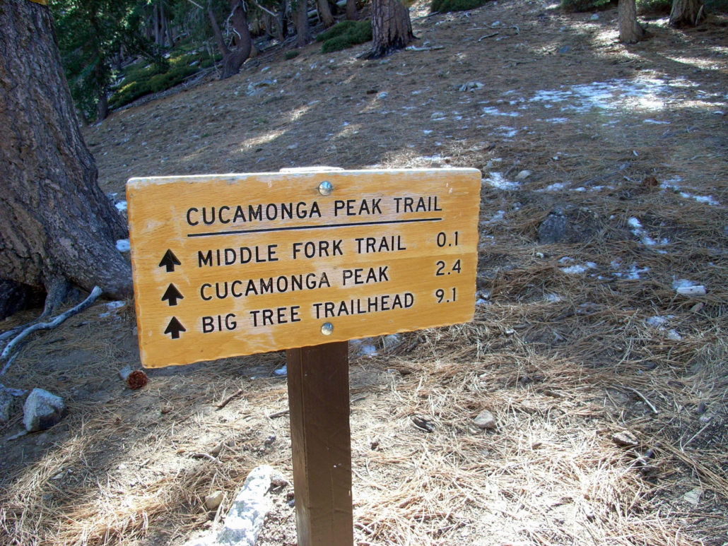
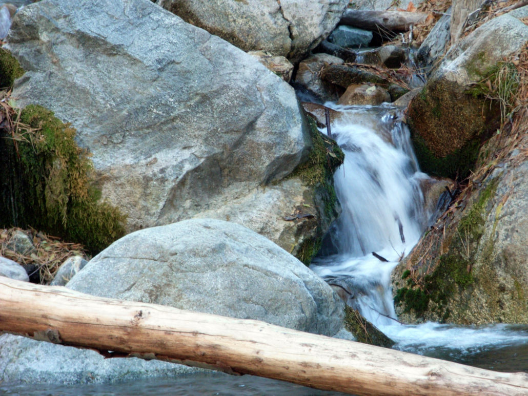
This trek to Cucamonga Peak is a lengthy, steep hike up to one of the tallest peaks in the San Gabriels. You’ll get a great workout, and amazing views off the peak’s nearly-sheer face — a small promontory that reveals the great L.A. Sprawl before you. One of the greatest things about hiking on Sunday mornings — or really, doing anything on Sunday mornings — is that you’re really one of only a handful of people in Los Angeles County who’s awake. The 210 was a breeze, and while I was stopped at the off-ramp, I caught the first glimpse of my destination – Cucamonga Peak, on the right. I rolled down my windows and drove through the winding canyon to Mount Baldy Village, stopping off at the Baldy Ranger Station to pick up a Wilderness Permit. ‘Cause I like to keep it official. Side note – the Mount Baldy Ranger Station / Visitor’s Center is beautiful. I may stop by again later just to poke around. I parked at Icehouse Canyon again, this time dressing in the necessary hiking layers instead of the usual t-shirt. It was around 40 degrees when I started, and the massive mountain formations on either side of the canyon block out most of the warming sunlight until later in the day. The water was still flowing through the canyon stream, which provided a great white noise-backdrop as I passed slow hikers in overstuffed backpacks on the way up. I got nothin’ against slow hikers. Most of the time when I’m hiking with Will or his friends, I’m the slow hiker in the group. But the Icehouse Canyon trail is absolutely littered with people hauling fully-crammed overnight packs for an 8 mile round-trip. Hike light! You don’t need all that crap! All that said, the trail in the morning is pretty lightly trafficked, and it’s still one of my favorites in the San Gabriels. As it was my third time up the trail, though, I didn’t stop to sightsee much. Except for when I came upon Columbine Spring. Columbine Spring is the primary source of the picturesque stream that runs down Icehouse Canyon, and the spring itself lies almost directly ben
Trail Stats
17.8 km
1158 m
2699 m
1546 m
—
Photos
Trail photo
No caption provided.
Trail photo
No caption provided.
Trail photo
No caption provided.
Trail photo
No caption provided.
Trail photo
No caption provided.
Trail photo
No caption provided.
Trail photo
No caption provided.
Trail photo
No caption provided.
Trail photo
No caption provided.
Trail photo
No caption provided.
Trail photo
No caption provided.
Trail photo
No caption provided.
Trail photo
No caption provided.
Trail photo
No caption provided.

Trail photo
No caption provided.
Trail photo
No caption provided.