5 min
Overview
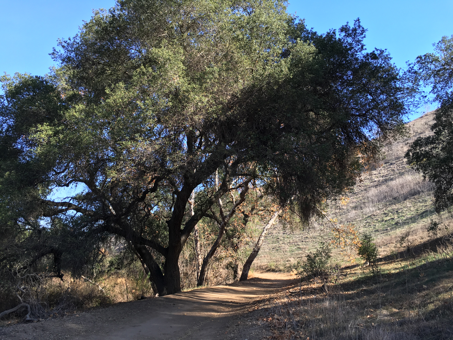
Chino Hills State Park straddles the county lines between Orange, San Bernardino, and Riverside Counties, and includes a wide variety of long and short canyons and ridgelines with impressive views of the surrounding terrain. This particular route starts out on the western edge of the park and takes you more than halfway through the park’s major east-west canyon — Telegraph Canyon. Although its long distance and wide fire road trails make this especially well suited for trail runners and mountain bikers, it’s also a very pleasant route for hikers. You’ll venture through some beautiful riparian areas, dense with oak, alder, and sycamore trees, while the hills on both sides of the canyon effectively shield you from the nearby civilization. This trail also begins at an excellent nature center — and the canyon itself is known as one of the best birdwatching areas in Southern California. Check with the Park Headquarters to make sure they’re open (the park can close during Red Flag Days and following heavy rains). Fill up water bottles or hit the restrooms if you need to, then head east past the Discovery Center and a small native plant nursery. the Discovery Center At 0.3 mile, keep right to stay on the Telegraph Canyon Trail. You’ll pass the remnants of some old citrus orchards as well as a turnoff to the Deimer Water Treatment Plant, which you’ll be able to make out on the south side of the canyon. Near the entrance to the canyon, the remnants of the orchard’s landscaping provide some nice shade Follow the trail as it heads east, where the canyon is wide and shade is a valuable and rare commodity. At 1.6 miles, ignore the Deimer Trail on your right and continue heading east into Telegraph Canyon. Open canyon, little shade As you continue east, you’ll basically just want to stay on the Telegraph Canyon Trail the entire time. Depending on what trails are open, you can make a shorter loop to head back, or just turn around wherever you’d like. But the further east you go, the more narrow the canyon becomes — and the l
Trail Stats
19.4 km
308 m
396 m
141 m
—
Photos

Trail photo
No caption provided.

Trail photo
No caption provided.
Trail photo
No caption provided.

Trail photo
No caption provided.

Trail photo
No caption provided.

Trail photo
No caption provided.