6 min
Overview
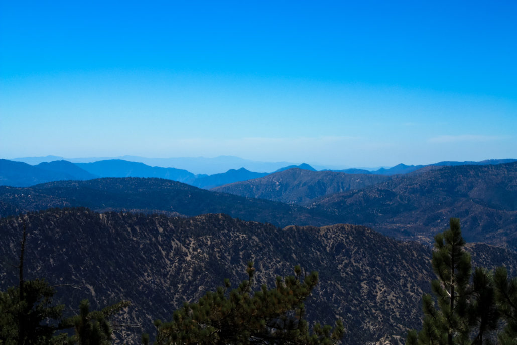
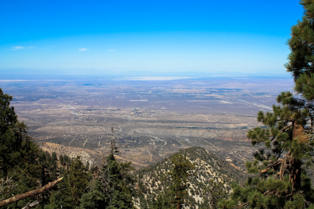
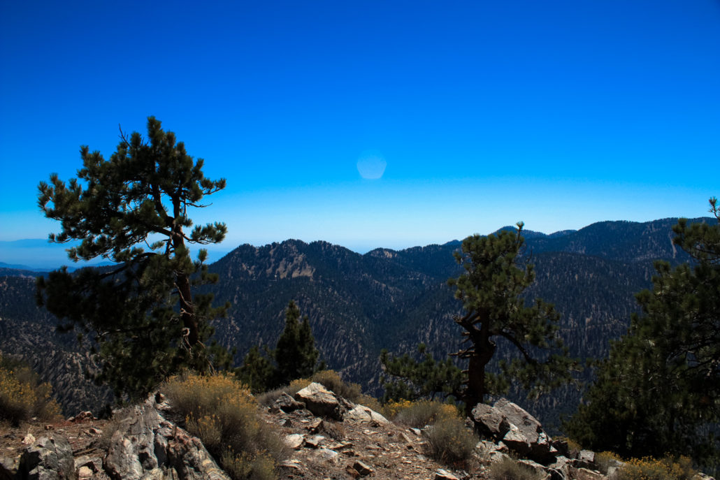
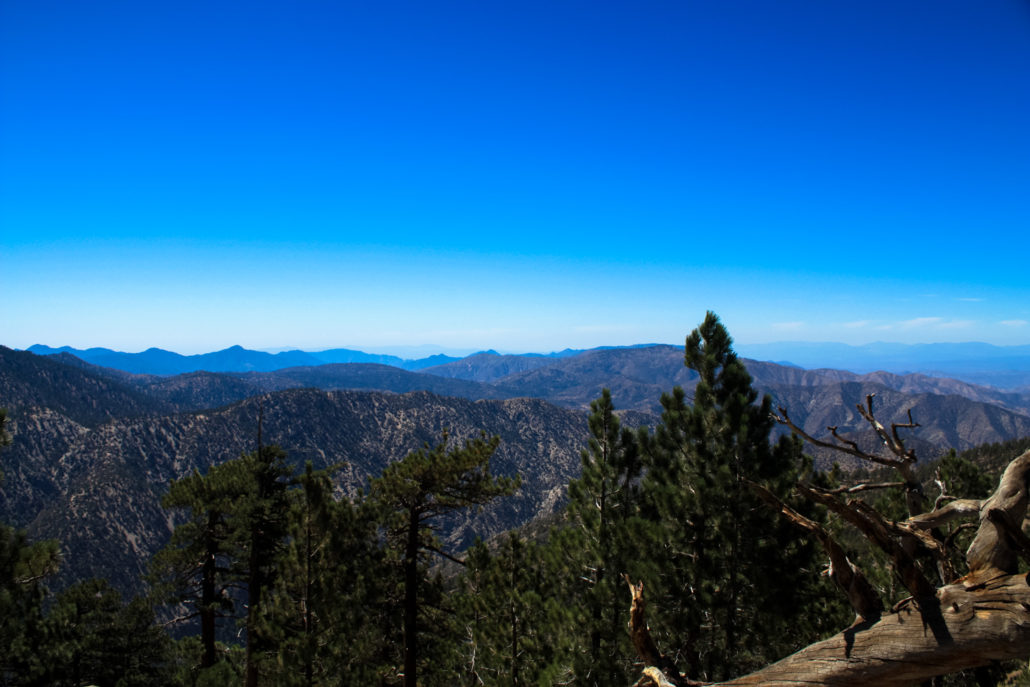
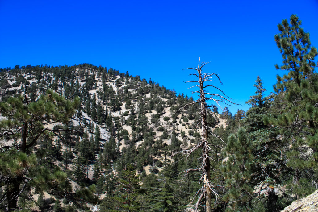
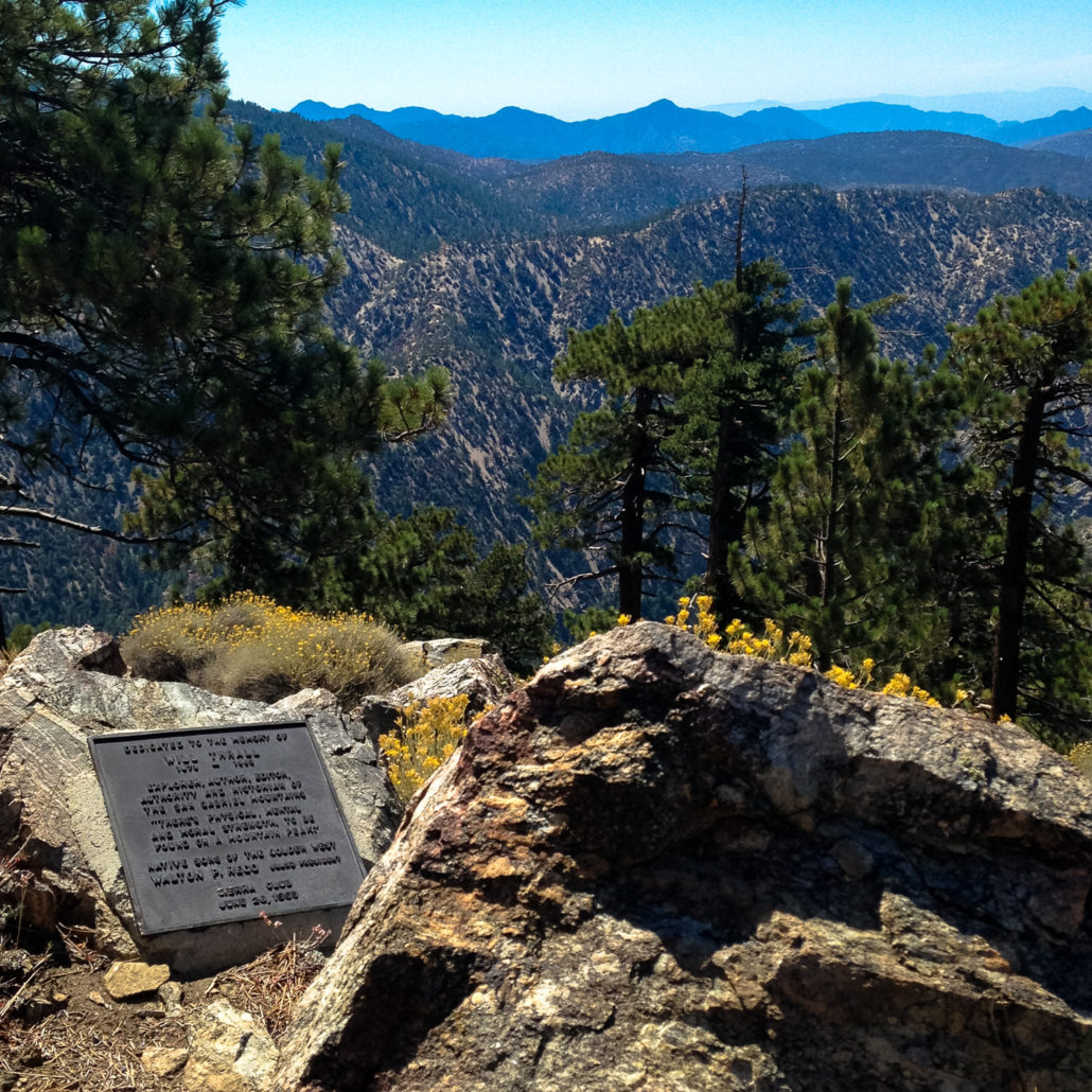
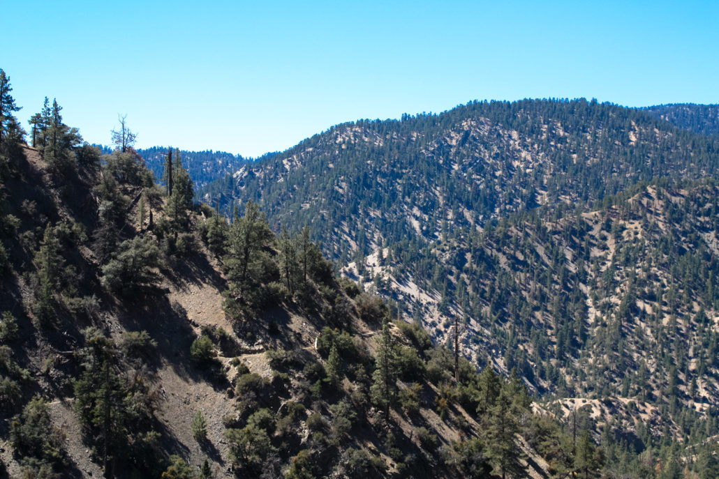
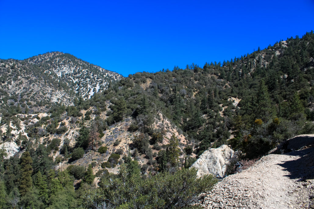
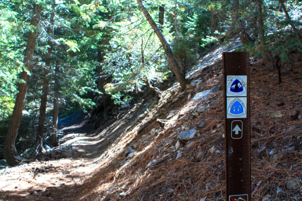
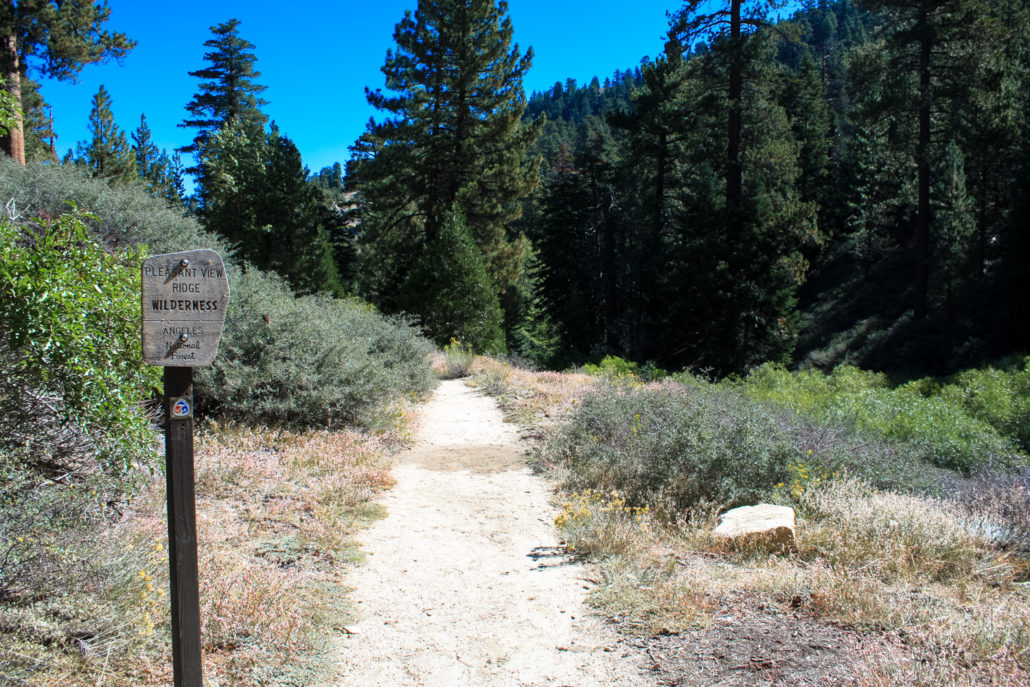
Will Thrall Peak is one of the most rugged, challenging, and remote peaks in the San Gabriel Mountains. An absolutely epic day hike no matter which way you choose to tackle it, your effort and perseverance will be returned in kind with equal doses of jaw-dropping beauty, peaceful solitude, and a profound connection with the seemingly-untouched wilderness of the high country. In other words – this is a really, really great hike – once you’ve worked yourself up to being worthy of it. This route tackles the peak from the south, starting at the beautiful Buckhorn Campground – an excellent place to set up base camp if you want to explore more of the amazing landscape in this part of the San Gabriel Mountains or if you want to start extra early to give yourself enough time to bag Will Thrall’s summit. An alternate route to this peak approaches the peak from the north, heading southward from the Devil’s Punchbowl. Before you get going, though, a word of warning about the elevation gain – while there is only a 1318-foot difference between the trailhead and the summit of Will Thrall Peak, this does not take into account the 840-foot drop the trail makes in its first 1.7 miles — or the fact that you’ll have loss and gain on both the hike to the summit and the hike back to the trailhead — or the difficulty of that final push from Burkhart Saddle to Will Thrall Peak. Before you tackle this route, be sure you’re in good shape and definitely give yourself more time than you think you’ll need to complete it. Begin at the end of the Buckhorn Campground, following the signs for the Burkhart Trail. There are a few parking spots near an outhouse and a very prominent trailhead sign, which also marks the Burkhart Trail as part of the High Desert National Recreation Trail, a 27-mile route from Buckhorn Campground to Vincent Gap via the Mojave Desert. Hit the trail, and you’re immediately stepping into the Pleasant View Ridge Wilderness, a 27,040-acre federally protected Wilderness Area. When in a Wilderness Area, it’s especially imp
Trail Stats
18.3 km
919 m
2381 m
1717 m
—
Photos
Trail photo
No caption provided.

Trail photo
No caption provided.
Trail photo
No caption provided.
Trail photo
No caption provided.
Trail photo
No caption provided.
Trail photo
No caption provided.
Trail photo
No caption provided.
Trail photo
No caption provided.
Trail photo
No caption provided.
Trail photo
No caption provided.
Trail photo
No caption provided.
Trail photo
No caption provided.
Trail photo
No caption provided.
Trail photo
No caption provided.
Trail photo
No caption provided.
Trail photo
No caption provided.
Trail photo
No caption provided.
Trail photo
No caption provided.
Trail photo
No caption provided.
Trail photo
No caption provided.