7 min
Overview
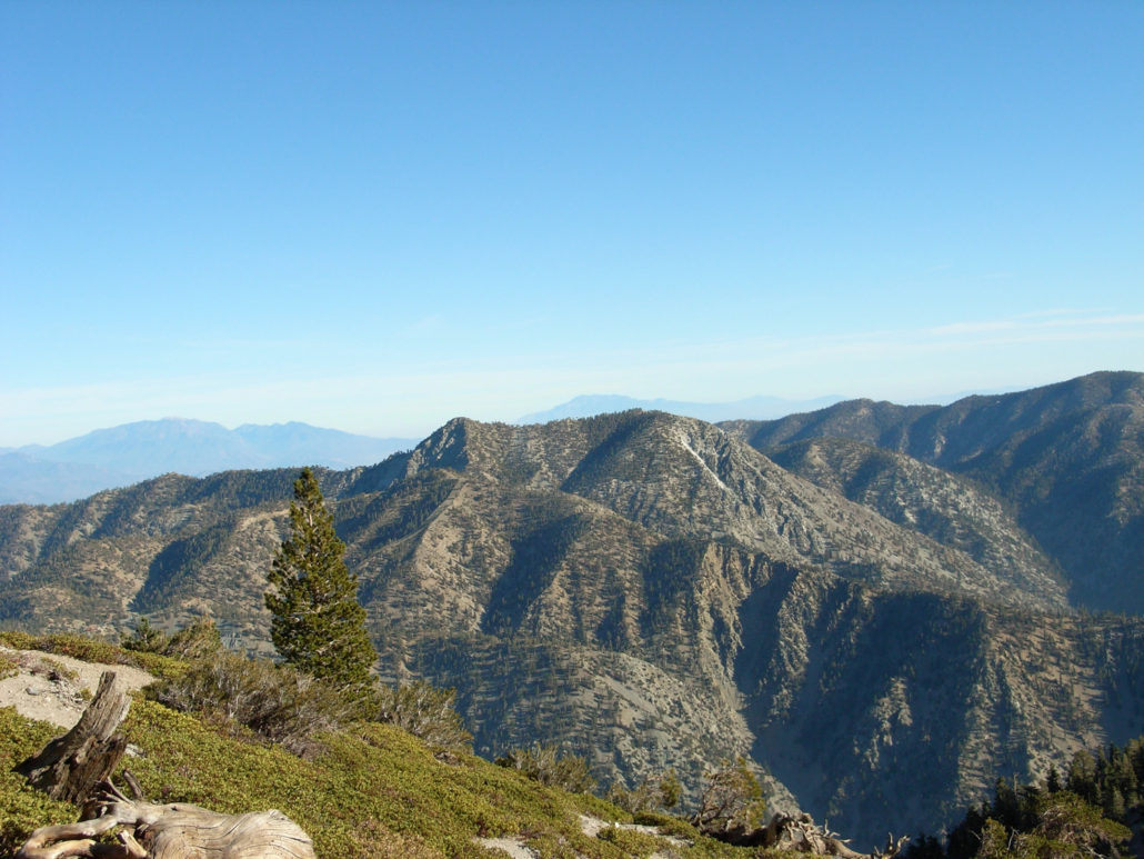
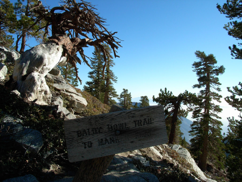
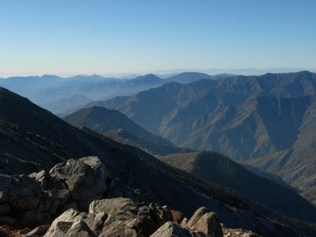
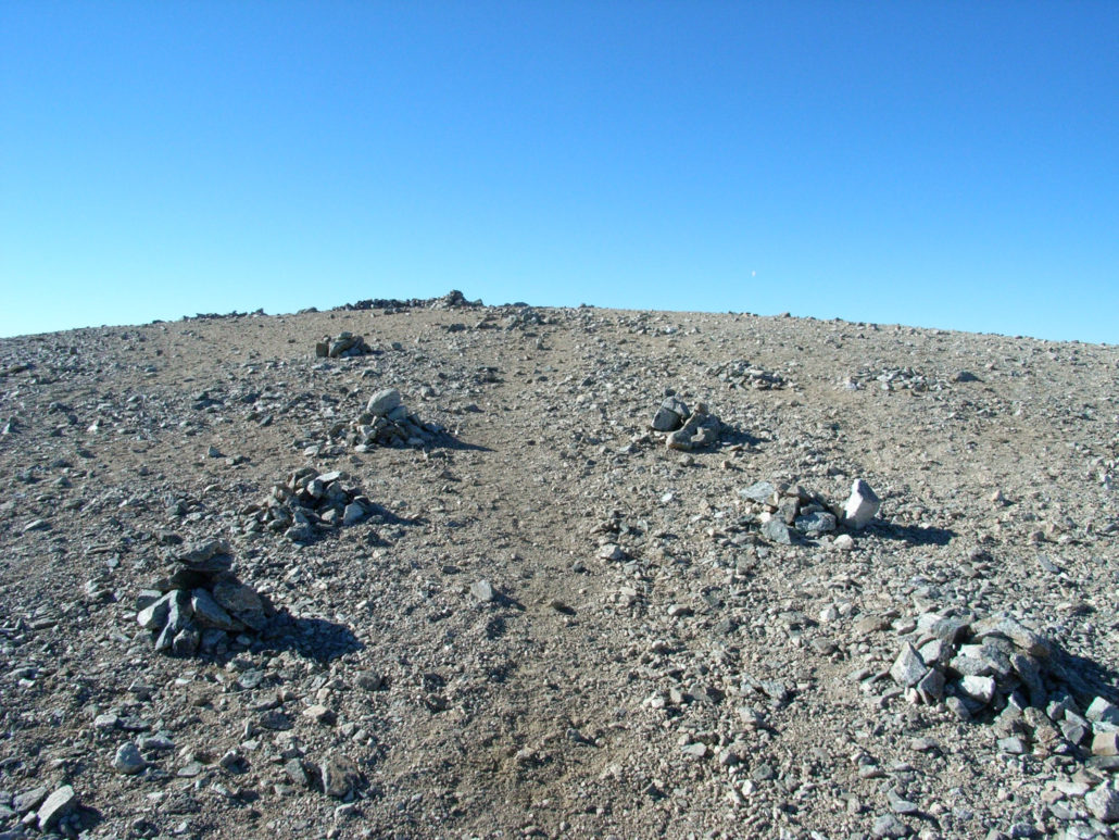
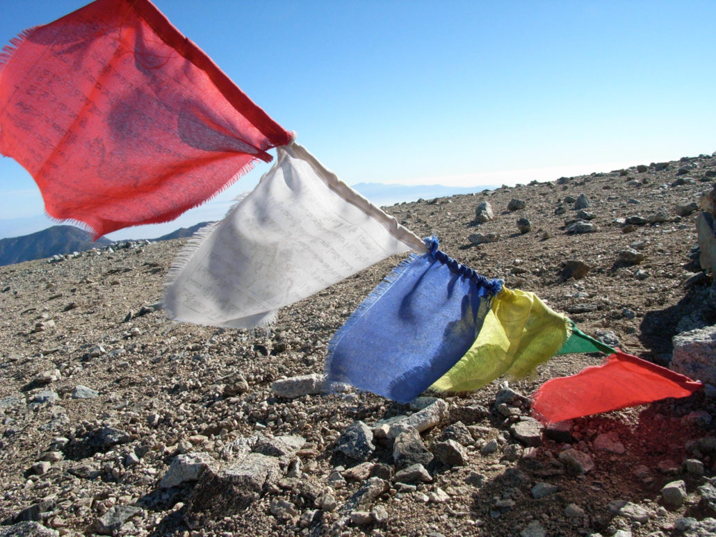
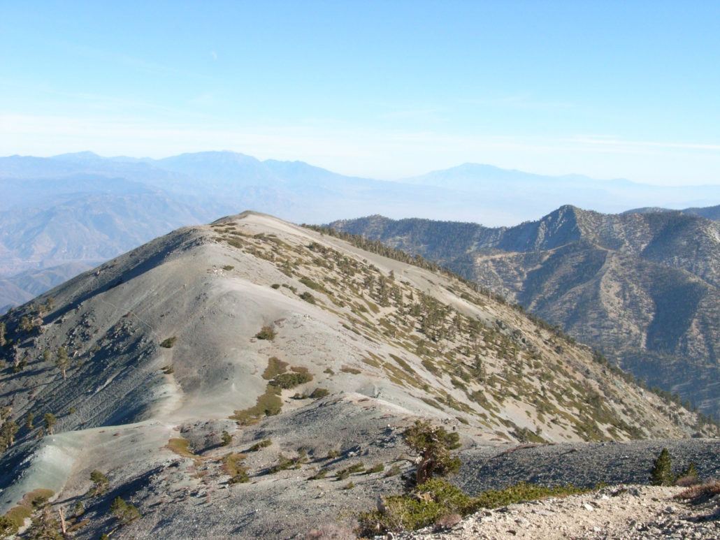
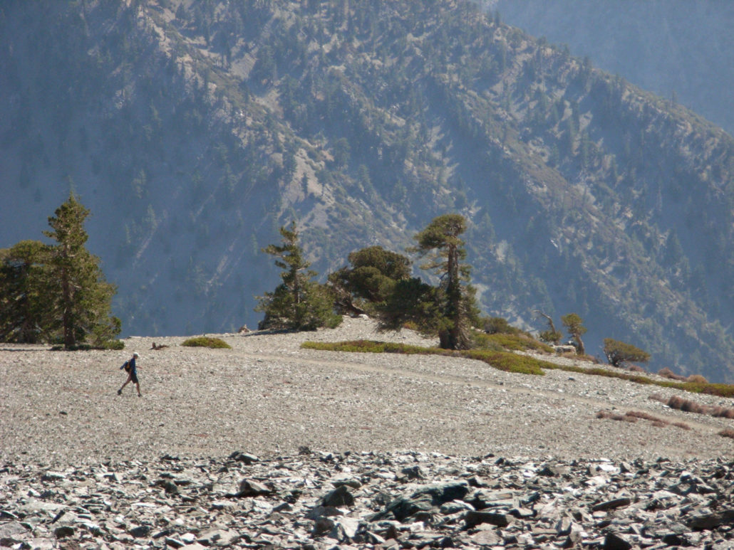
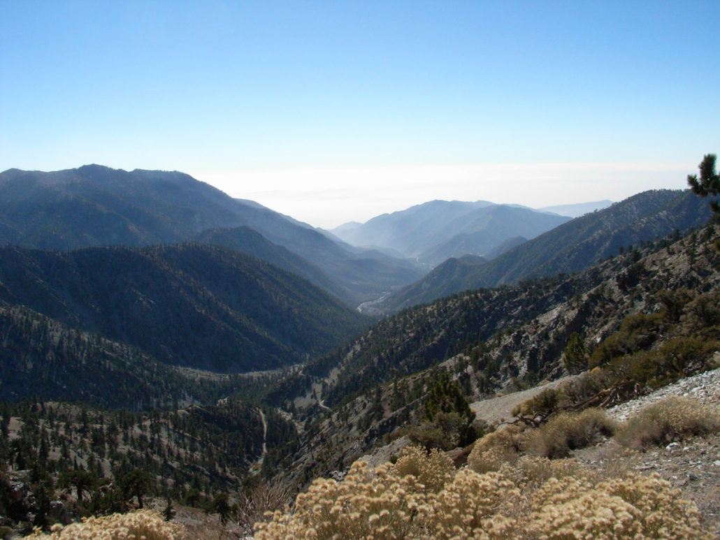
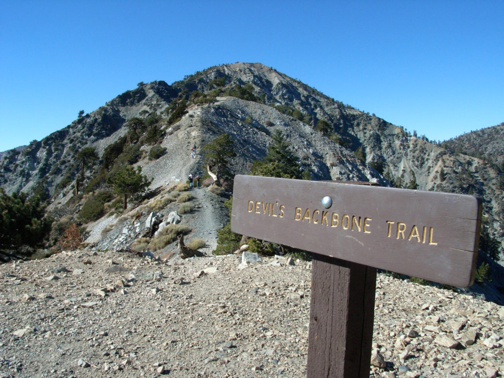
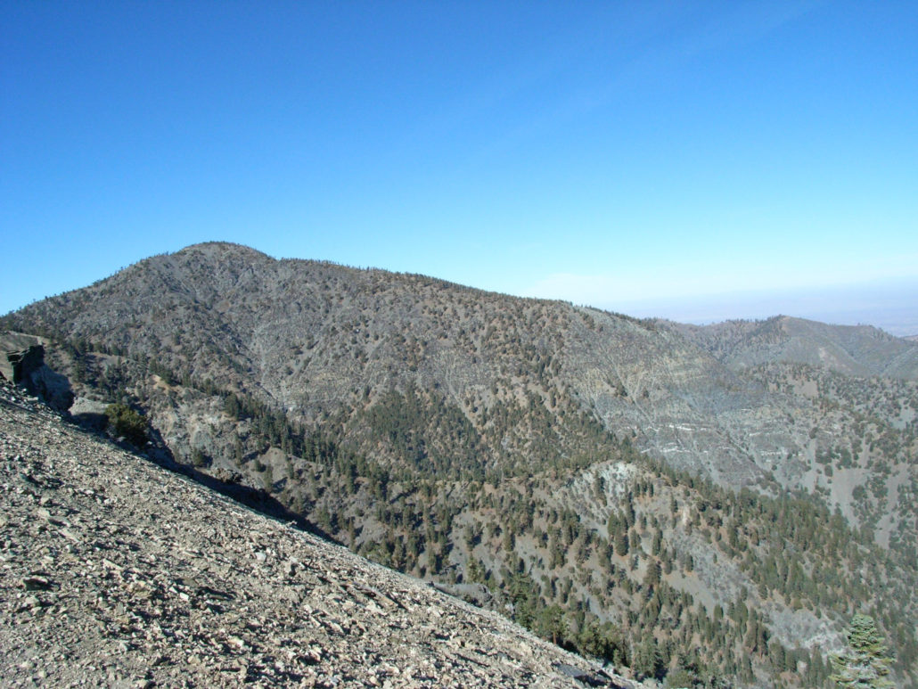
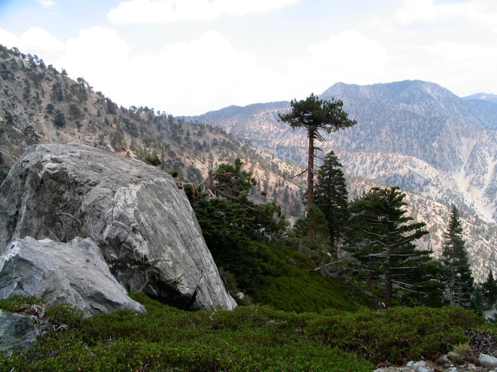
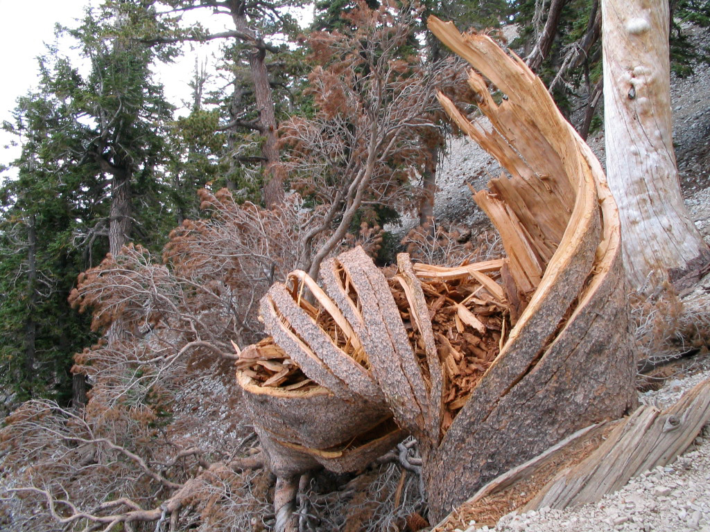
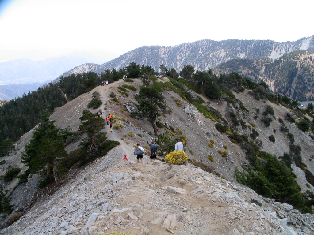
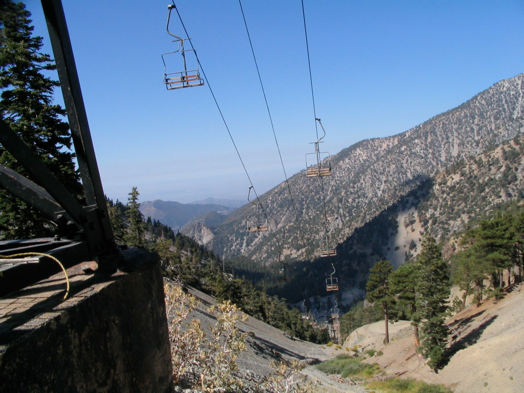
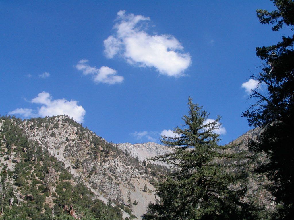
A leg-busting ascent to the highest point in Los Angeles County, with a neighboring mountain thrown in for good measure. This is a classic hike through some incredible subalpine scenery, and is a MUST HIKE for anyone who lives in or is visiting Southern California, provided you’re up to the challenge — and please, don’t underestimate this trail just because it’s close to cities. The Mount San Antonio (or, Mount Baldy, if you’re feeling colloquial) trail is hands-down one of the best in Southern California. It’s the highest peak in the San Gabriel Mountains at 10,069 feet (or 10,064, depending on who you ask), and its tree-free summit provides incredible panoramic views of almost every single kind of SoCal terrain — from desert to city to mountains to ocean. There are two popular routes to the top – and they’ll both make you work for it. But once you get there and collapse high above the rest of civilization, it’s absolutely worth it. However, please note that while Mount Baldy can be done as a tough but not-especially-technical day hike, it is a Serious Mountain. Because this mountain has a steep face and sits on the border between the Mediterranean and desert climates in Southern California, this region has a tendency to make its own weather without much notice. Crushing thunderstorms have been known to appear in the summer and fall, and during the winter months this trail is likely to be covered in ice and snow and require real technical know-how. People can and do die on this trail, so please take it seriously. The fire road leaving Manker Flats had very recently been repaved — so the first three-quarters of a mile were on fresh asphalt. Your feet may not be happy, but the views of the Baldy Bowl and the distant summit are more than enough to take your mind off the urban footing. At that 0.5 mile mark, there’s a small spur trail that leads to the bottom of San Antonio Falls. If you can get there on the first few warm days of spring, you can get absolutely drenched by the 80 foot waterfall. Assuming, of cours
Trail Stats
16.4 km
1203 m
3068 m
1866 m
—
Photos
Trail photo
No caption provided.
Trail photo
No caption provided.
Trail photo
No caption provided.
Trail photo
No caption provided.
Trail photo
No caption provided.
Trail photo
No caption provided.
Trail photo
No caption provided.
Trail photo
No caption provided.
Trail photo
No caption provided.
Trail photo
No caption provided.
Trail photo
No caption provided.

Trail photo
No caption provided.

Trail photo
No caption provided.
Trail photo
No caption provided.
Trail photo
No caption provided.

Trail photo
No caption provided.

Trail photo
No caption provided.

Trail photo
No caption provided.

Trail photo
No caption provided.

Trail photo
No caption provided.

Trail photo
No caption provided.

Trail photo
No caption provided.

Trail photo
No caption provided.

Trail photo
No caption provided.
Trail photo
No caption provided.

Trail photo
No caption provided.

Trail photo
No caption provided.

Trail photo
No caption provided.

Trail photo
No caption provided.
Trail photo
No caption provided.

Trail photo
No caption provided.

Trail photo
No caption provided.

Trail photo
No caption provided.
Trail photo
No caption provided.

Trail photo
No caption provided.