7 min
Overview
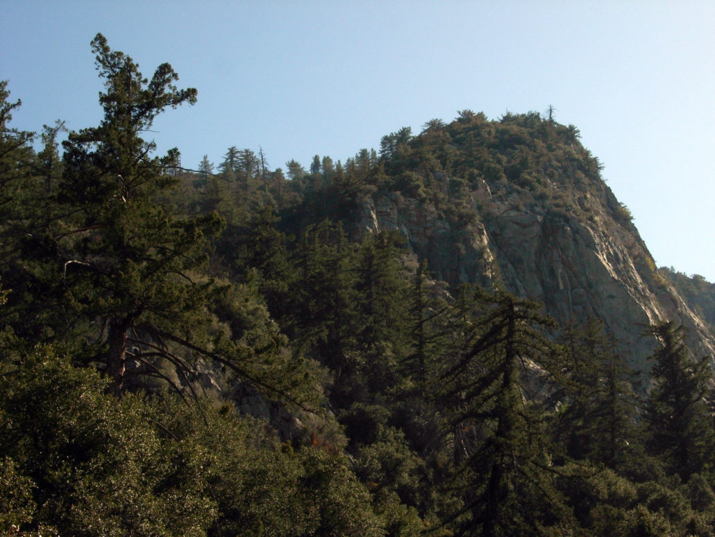
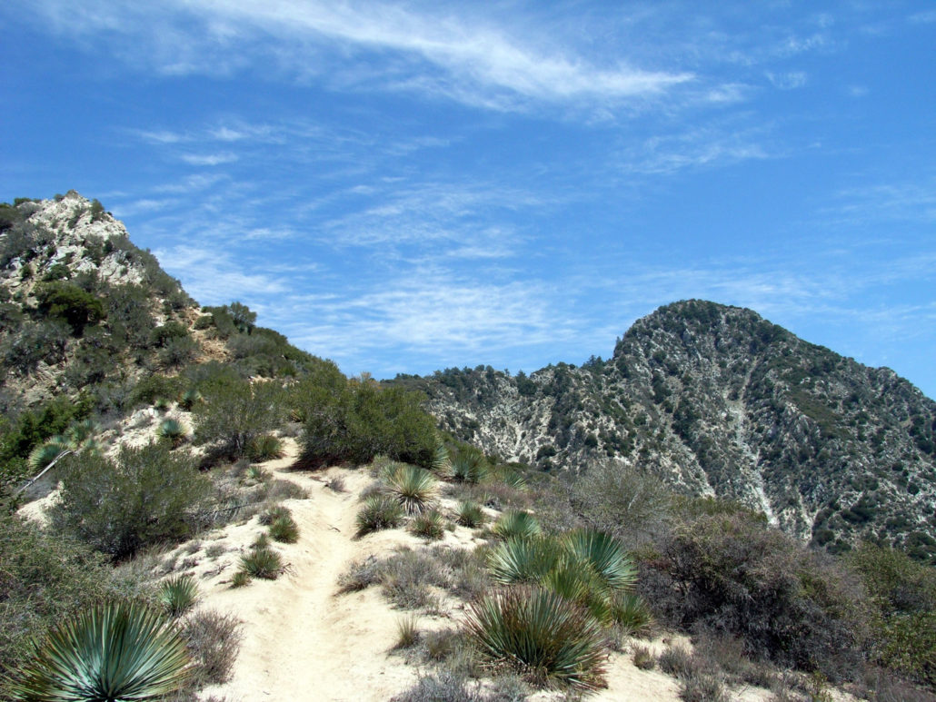
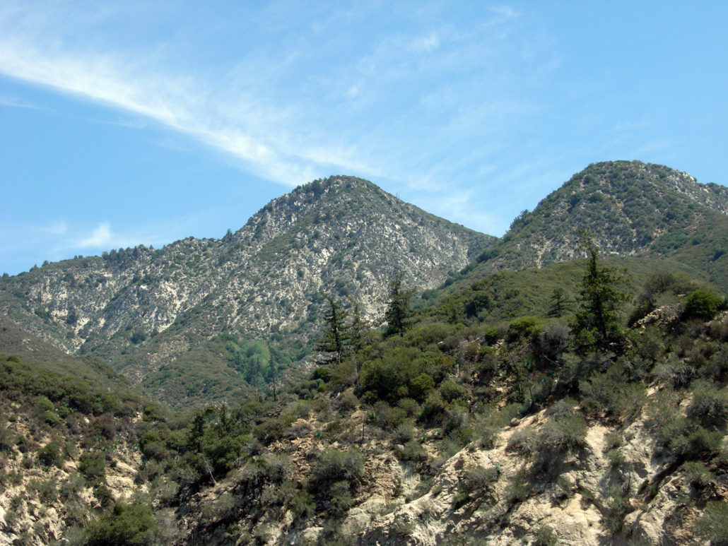
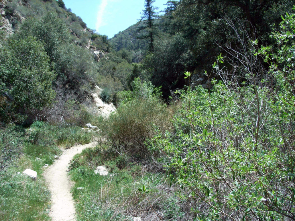
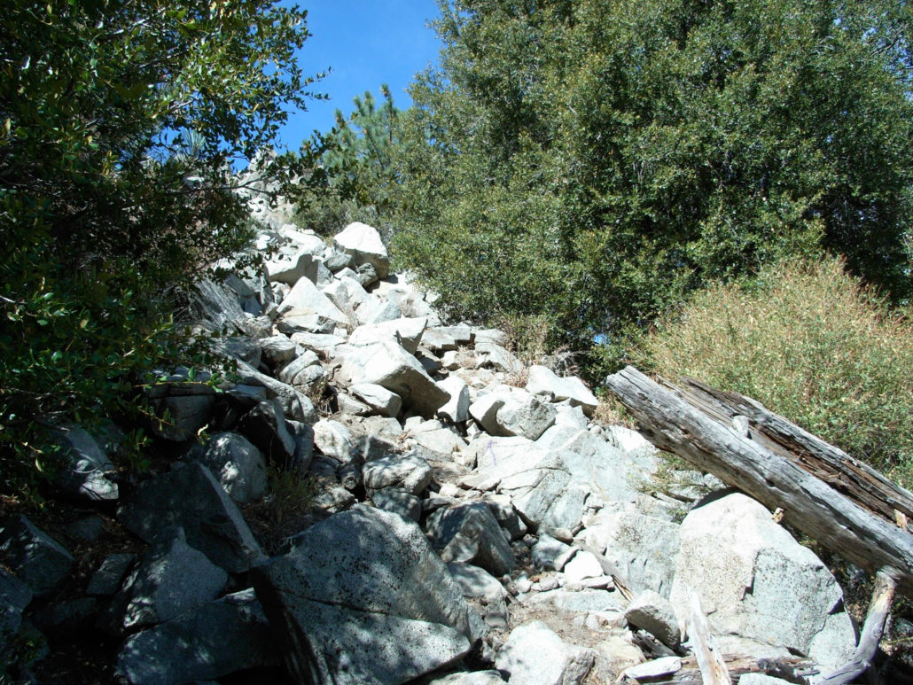
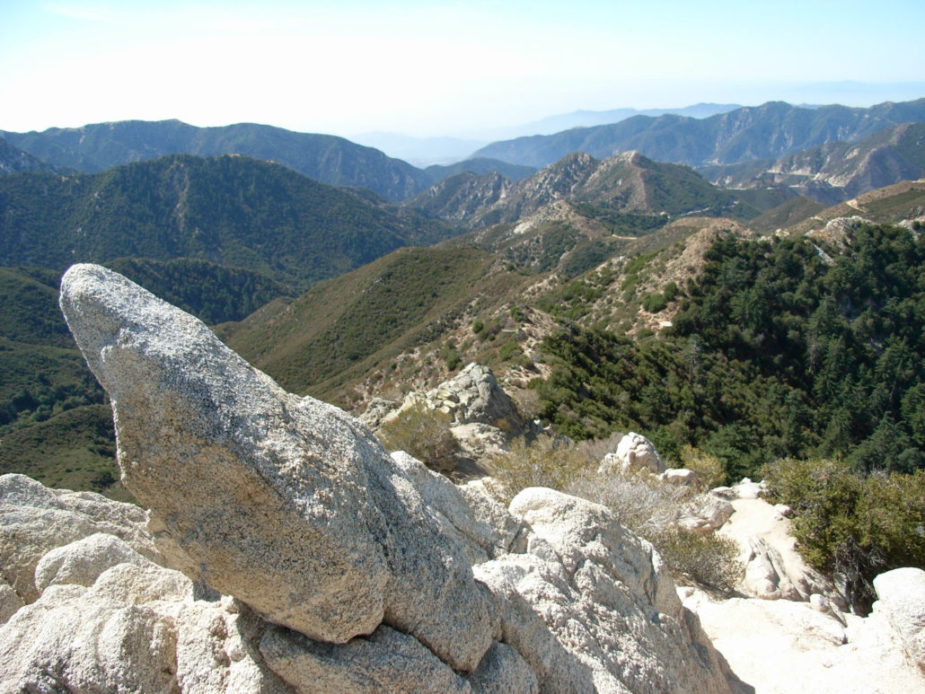
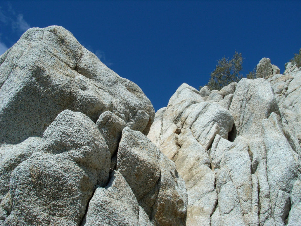
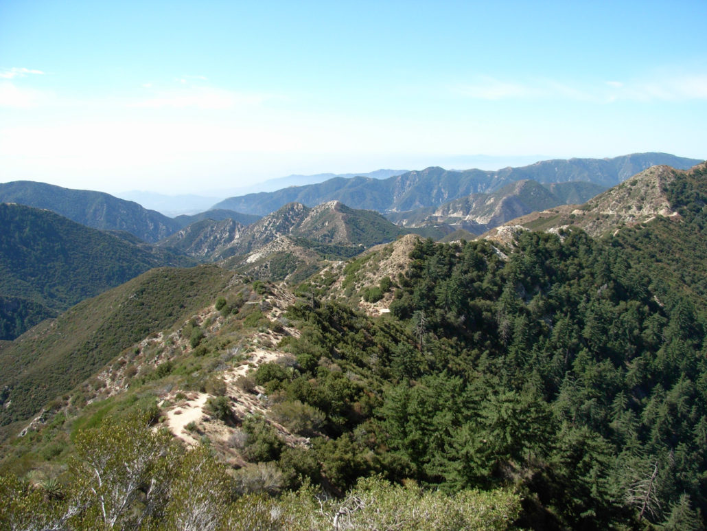
The most challenging peak in the front range of the San Gabriels. This trail loops through a shaded canyon, brush, and exposed rock-face Class Three bouldering before descending to idyllic meadows in the shadow of Strawberry Peak’s dramatic north face. Hands down, one of the best hikes in Los Angeles. NOTE: THIS TRAIL WAS HEAVILY DAMAGED IN THE STATION FIRE. As of November, 2015, hikers have reported both the Colby Canyon Trail and Mountaineer’s Route are in passable shape. Although conditions are improving, be aware of poodle-dog bush and poison oak on the Colby Canyon Trail and note that some of the scrambling directions on the Mountaineer’s Route are tough to spot. An easier way to reach Strawberry Peak is by hiking from the saddles of neighboring Mount Lawlor or a longer trek from Josephine Peak. Strawberry Peak was one of the first hikes I did in the San Gabriels that reminded me that hiking is more than just strolling in the woods. It starts out with a swiftly ascending canyon trail, moves to an unmaintained, thorn-lined use-trail, and tops off with some straight-up class 3 rock climbing. It is, as they say, a doozy. But it’s also a lot of fun, and one of the few peaks close to the city that feels like a real-life mountain climb. As I parked at the busy trailhead, I could see the deceptively rounded summit peeking out from behind two shorter hills. I laced up, stretched out, and headed up. When I did this hike, there was also apparently a Search and Rescue mission going on. This is one of those trails that doesn’t seem like it can be dangerous … until it is. If you’re planning on taking the mountaineers route / scramble to the top, you should know what you’re getting into before you do it. The trail at Colby Canyon starts out by dropping a bit from the road to the canyon floor. It’s heavily forested and you should enjoy it … because this is pretty much it for the shade on this trail. This early section also had a small seasonal creek. When I hiked this in October there was nothing but dust in the riverbe
Trail Stats
17.6 km
832 m
1879 m
1034 m
—
Photos
Trail photo
No caption provided.
Trail photo
No caption provided.
Trail photo
No caption provided.
Trail photo
No caption provided.
Trail photo
No caption provided.
Trail photo
No caption provided.
Trail photo
No caption provided.
Trail photo
No caption provided.
Trail photo
No caption provided.
Trail photo
No caption provided.
Trail photo
No caption provided.
Trail photo
No caption provided.
Trail photo
No caption provided.
Trail photo
No caption provided.
Trail photo
No caption provided.
Trail photo
No caption provided.
Trail photo
No caption provided.

Trail photo
No caption provided.
Trail photo
No caption provided.
Trail photo
No caption provided.

Trail photo
No caption provided.
Trail photo
No caption provided.
Trail photo
No caption provided.
Trail photo
No caption provided.