5 min
Overview
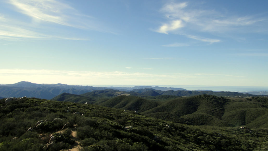
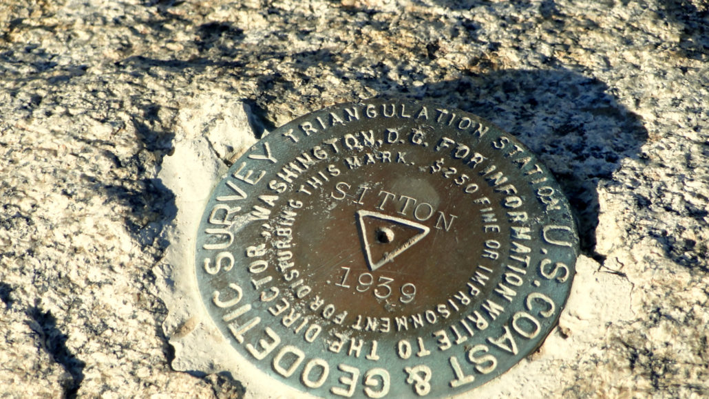
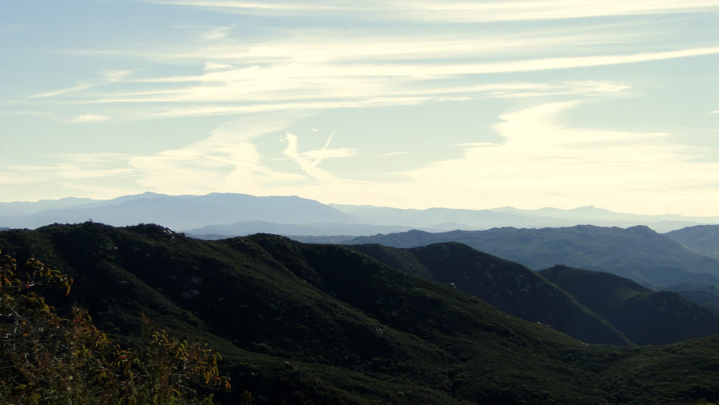
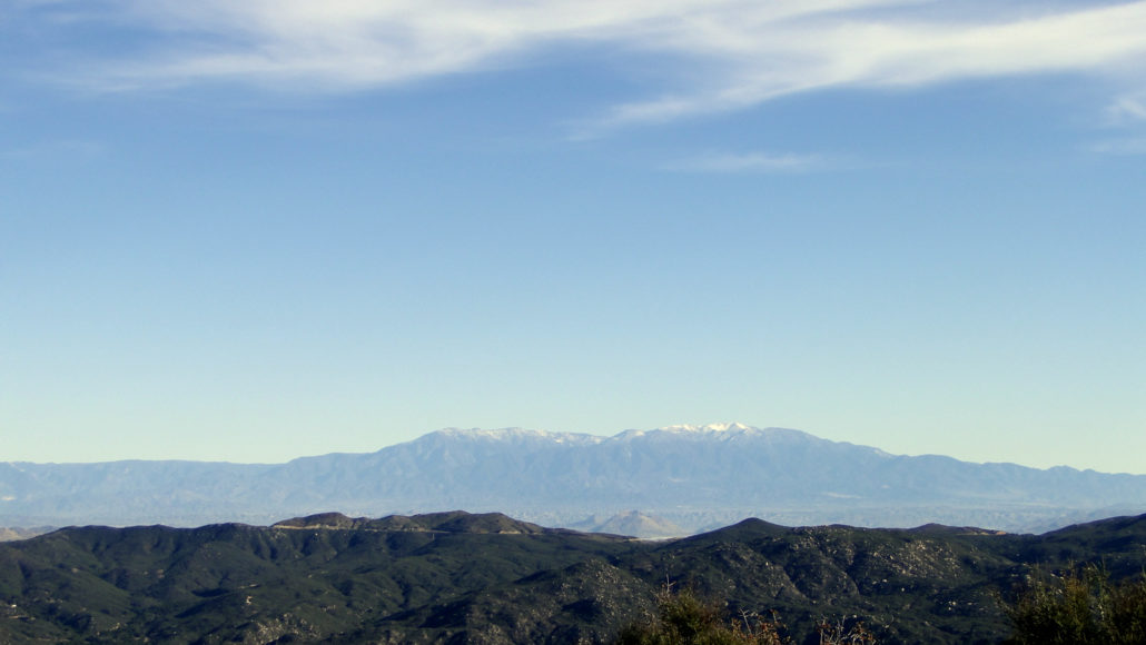
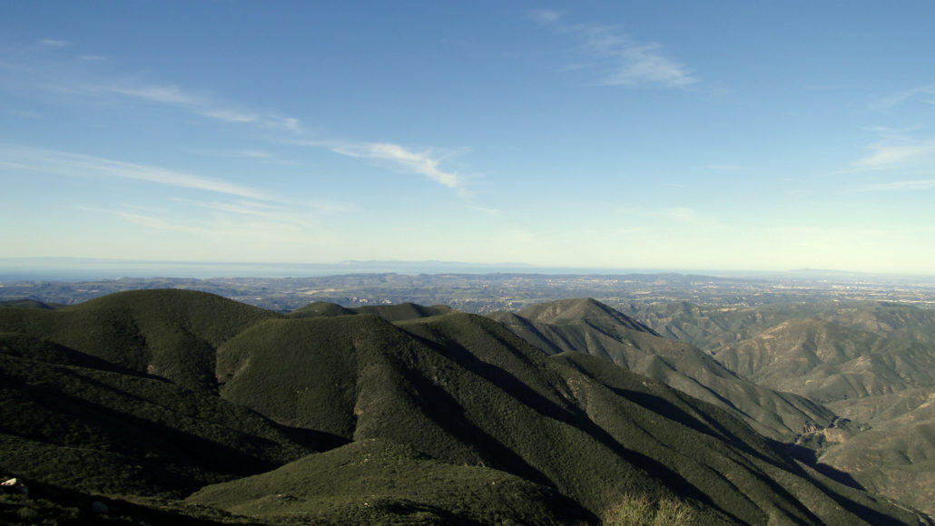
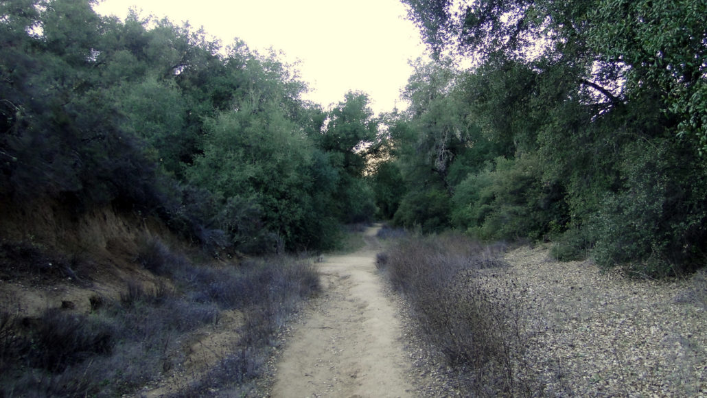
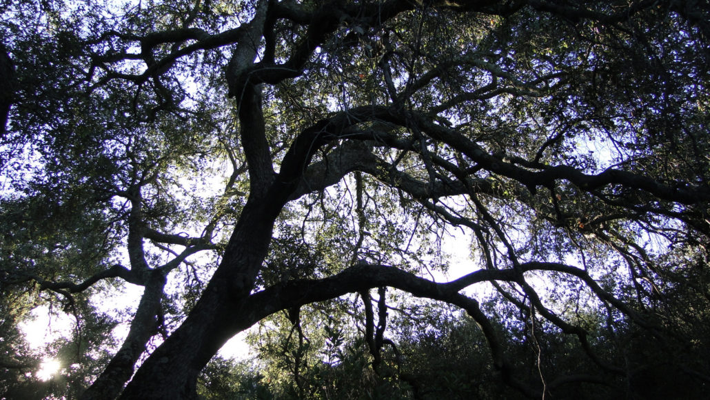
One of the better kept secrets in Southern California hiking is the presence of a large Federal Wilderness tucked between Ortega Highway, the semi-rural town of Fallbrook, and sprawling Camp Pendleton Marine Base. This wilderness protects the nearly pristine San Mateo Canyon watershed, which offers numerous hiking and backpacking adventures. Much of the wilderness is difficult to access due to its remote nature, but the northern corner, which contains popular Sitton Peak, is an easy way to dip your toes into the wilderness while staying within shouting distance of suburban Orange County. Geographically speaking, Sitton Peak straddles a ridge that divides the San Juan Creek watershed from the San Mateo Creek watershed. San Juan Canyon, which is just to the north of the peak, separates the southern third of the Santa Ana Mountains from the central and northern thirds, which both contain much higher summits. Sitton Peak sits much lower than the loftier peaks in the center of the range, including Santiago Peak, Modjeska Peak, Los Pinos Peak, and Trabuco Peak. Despite its relatively diminutive elevation, however, Sitton Peak has enough prominence over the surrounding landscape that you definitely feel “above it all.” This 9.5 mile trip will take you through the northernmost portion of the San Mateo Canyon Wilderness along the Bear Canyon Trail before climbing the ridge upon which sits Sitton Peak. Along the way, you will pass through chaparral and oak woodland while enjoying a variety of different scenes, ranging from cool oak boughs shading the trail to expansive views over San Diego County and San Mateo Canyon. Starting from the parking lot directly across from the Candy Store, cross Highway 74 to reach the Bear Canyon Trailhead, which you will find just to the right of the store. Enter the trailhead and make a brief climb before arriving at an info kiosk containing a map of the wilderness and a visitor’s register. You do not need a permit to dayhike within the wilderness, but you will need a permit to backpack he
Trail Stats
15.2 km
670 m
990 m
605 m
—
Photos
Trail photo
No caption provided.
Trail photo
No caption provided.
Trail photo
No caption provided.
Trail photo
No caption provided.
Trail photo
No caption provided.
Trail photo
No caption provided.
Trail photo
No caption provided.

Trail photo
No caption provided.
Trail photo
No caption provided.
Trail photo
No caption provided.
Trail photo
No caption provided.