4 min
Overview
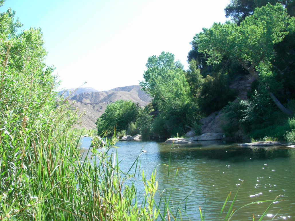
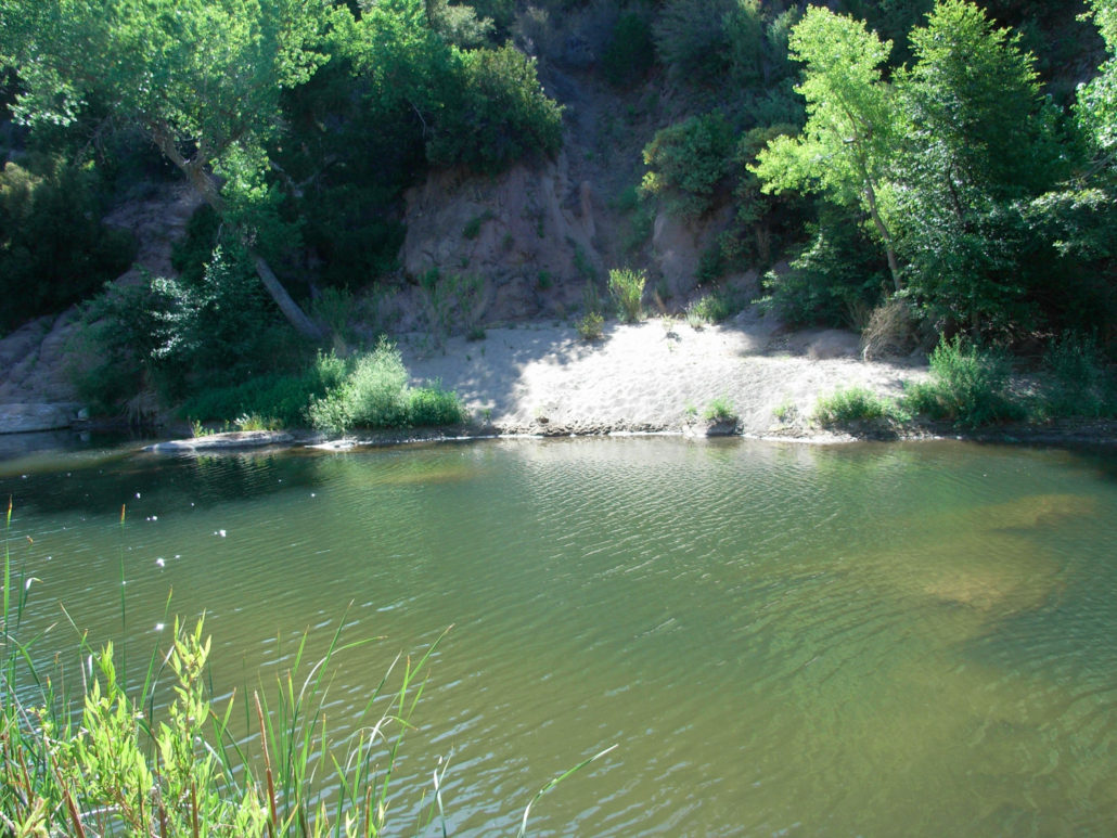
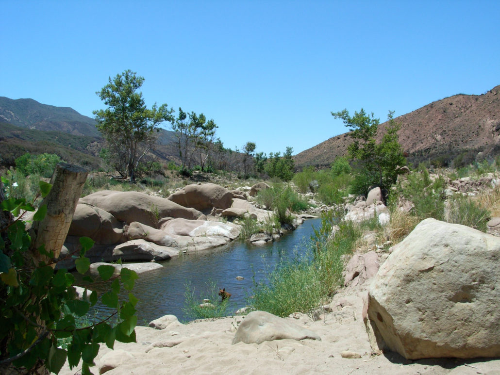
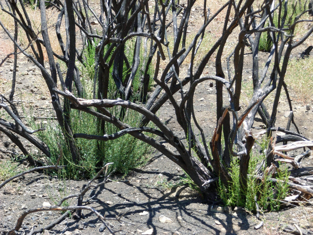
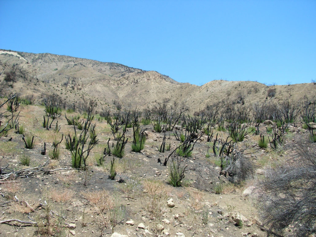
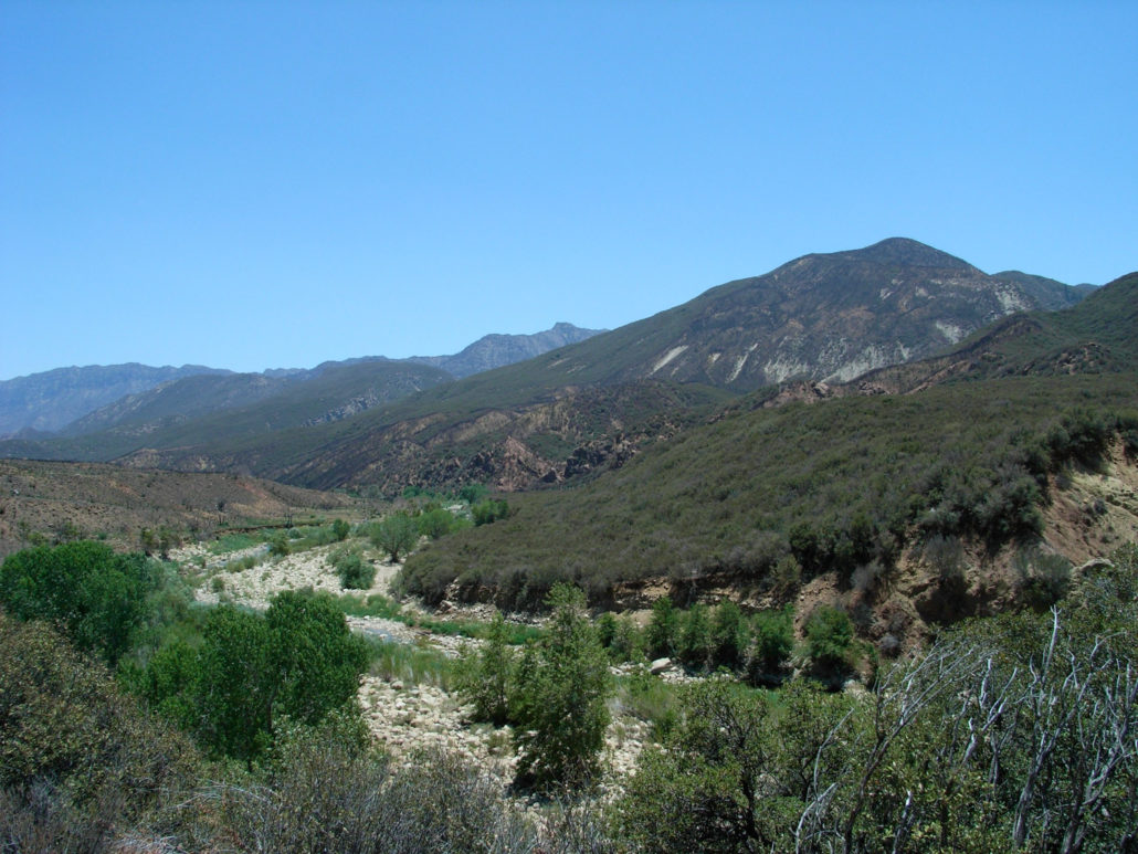
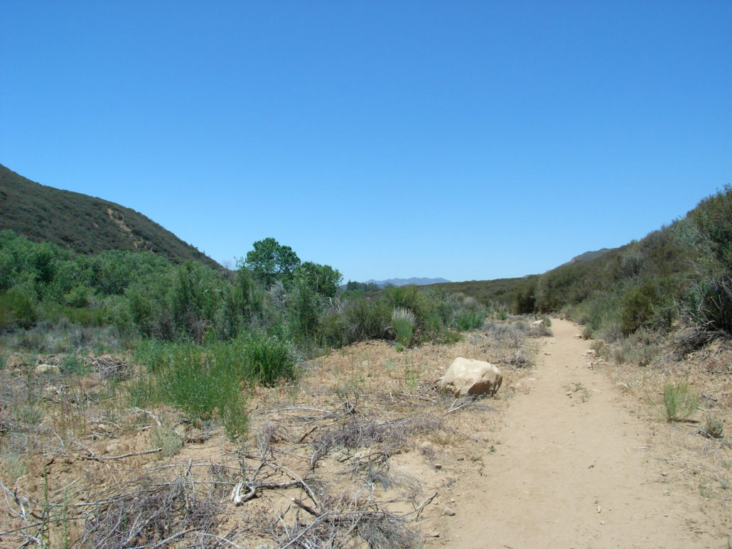
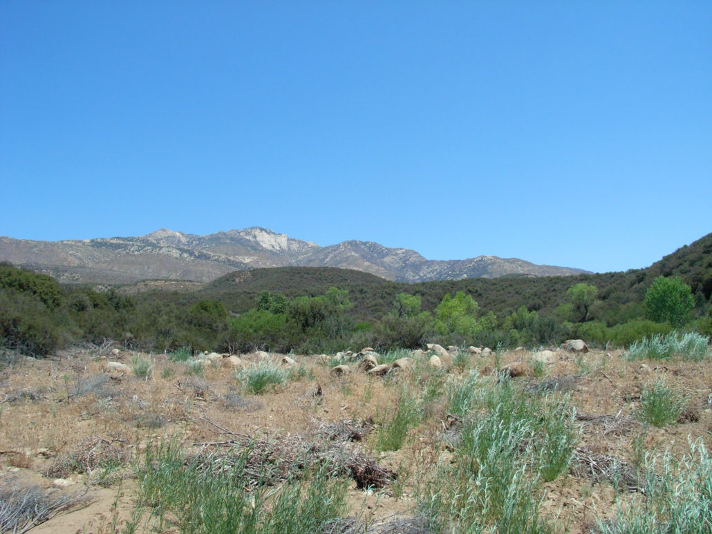
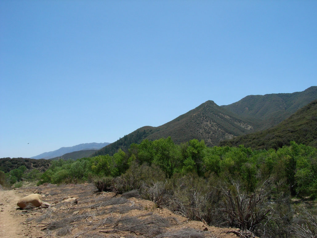
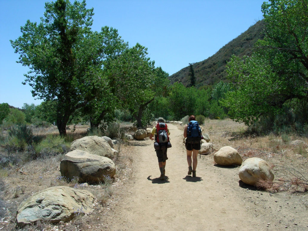
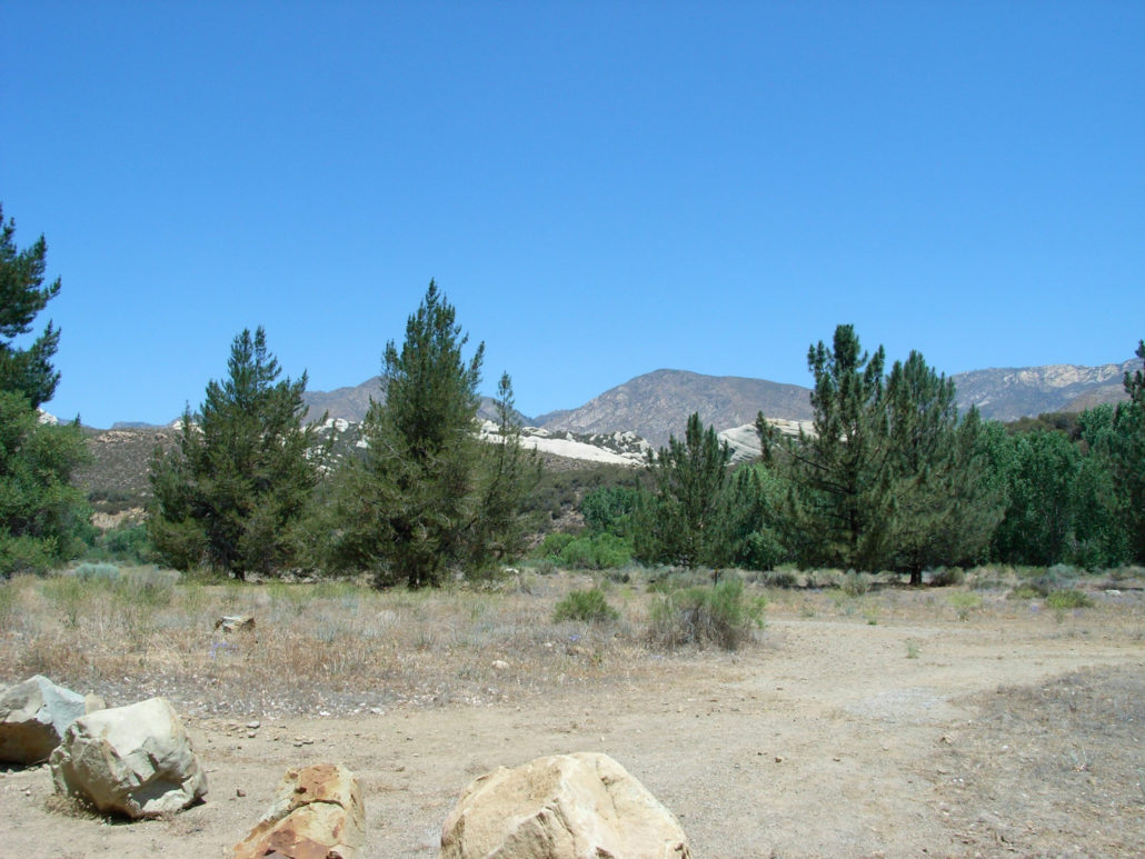
A 9 mile round-trip hike along the Sespe Creek to a shaded riverside campground. Hot valley air, cold river water, and plenty of scenes of recent wildfires keep up the variety, and the relatively level elevation makes it easy on the knees. A great weekend getaway in the fourth largest roadless region in the Lower 48. The Sespe River Trail starts at the end of a long, paved mountain road in clear sight of the impressive Piedra Blanca sandstone formation to the north. A National Recreation Trail splits north here and heads through the formation and into some deep canyons, but our trail followed the lowered but still flowing Sespe Creek into a nearly-shadeless chaparral brushland. Although the trail is called the Sespe River Trail, the stream of water is officially called Sepse Creek — and it’s the last remaining undammed river in Southern California. More than 30 miles of the river are designated as Wild and Scenic, and there are an additional 10 miles of Upper Sespe Creek that are under consideration for the same designation. The trail is, with a few minor stretches of exception, generally level. The only things that make this challenging are the hot summer temperatures, relentless sun, and the fact that you’re not near the actual river for most of the way … of course, you’ll be able to see the shady oaks lining the riverbed, you just won’t be able to get to them for a little while. Shortly into the hike, we reached the western front of last year’s Day Fire, a four-week conflagration that burned through 160,000 acres of the Sespe Wilderness. The contrast between the spared mountains and those that caught fire was striking, to say the least. … but it was heartening to see the widespread signs of rebirth, as almost every blackened charcoal brush had a new, green version sprouting from its base. The rest of the trail’s landscape wasn’t really all that much to talk about. Of course, it probably didn’t help that it was very hot and sunny, and all we wanted to do was drop down under some shade and take a load off. For
Trail Stats
14.6 km
57 m
936 m
833 m
—
Photos
Trail photo
No caption provided.
Trail photo
No caption provided.
Trail photo
No caption provided.
Trail photo
No caption provided.
Trail photo
No caption provided.
Trail photo
No caption provided.
Trail photo
No caption provided.
Trail photo
No caption provided.
Trail photo
No caption provided.
Trail photo
No caption provided.
Trail photo
No caption provided.