5 min
Overview
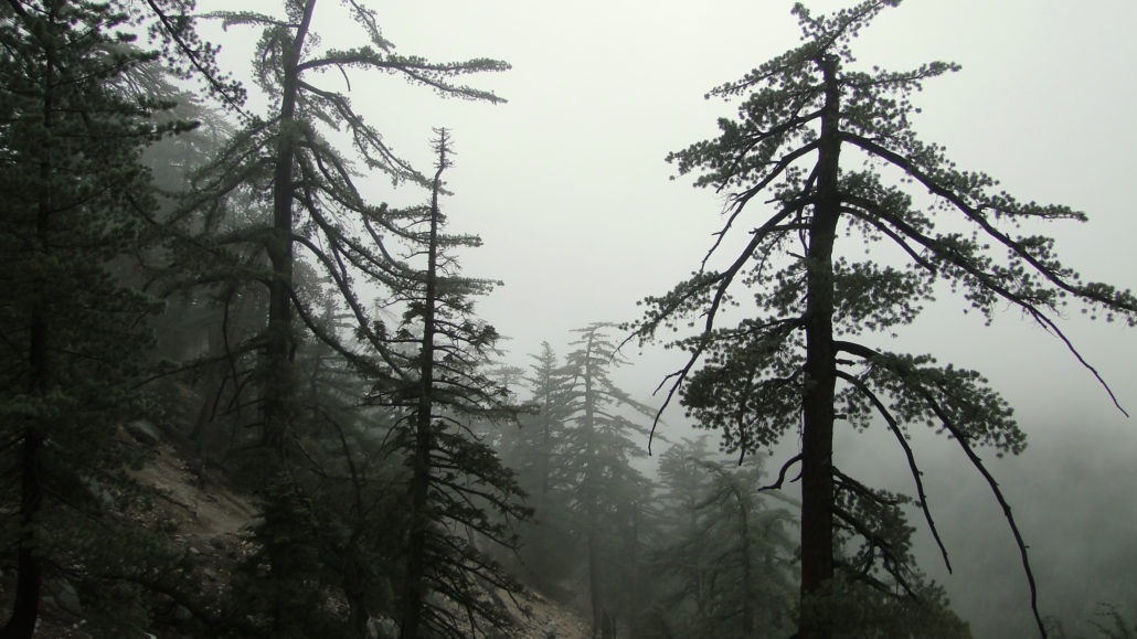
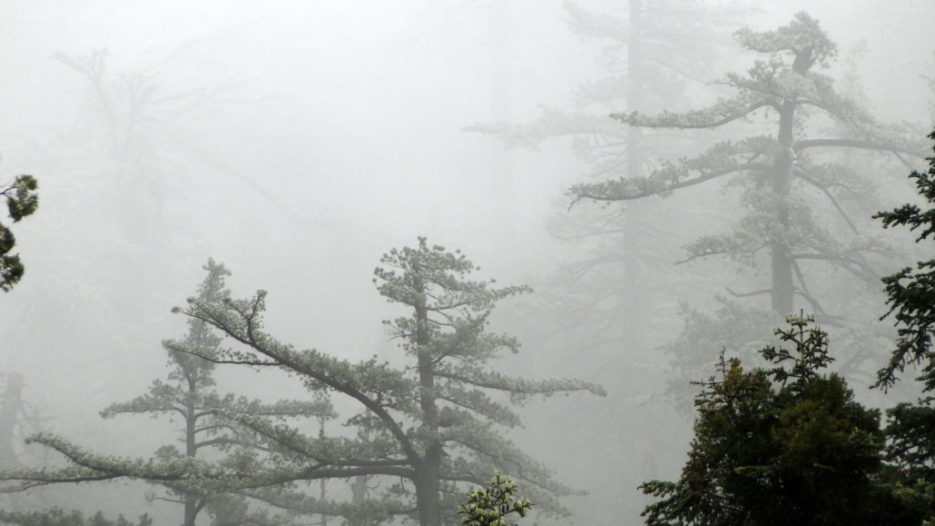
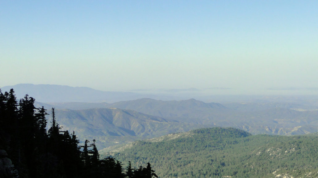
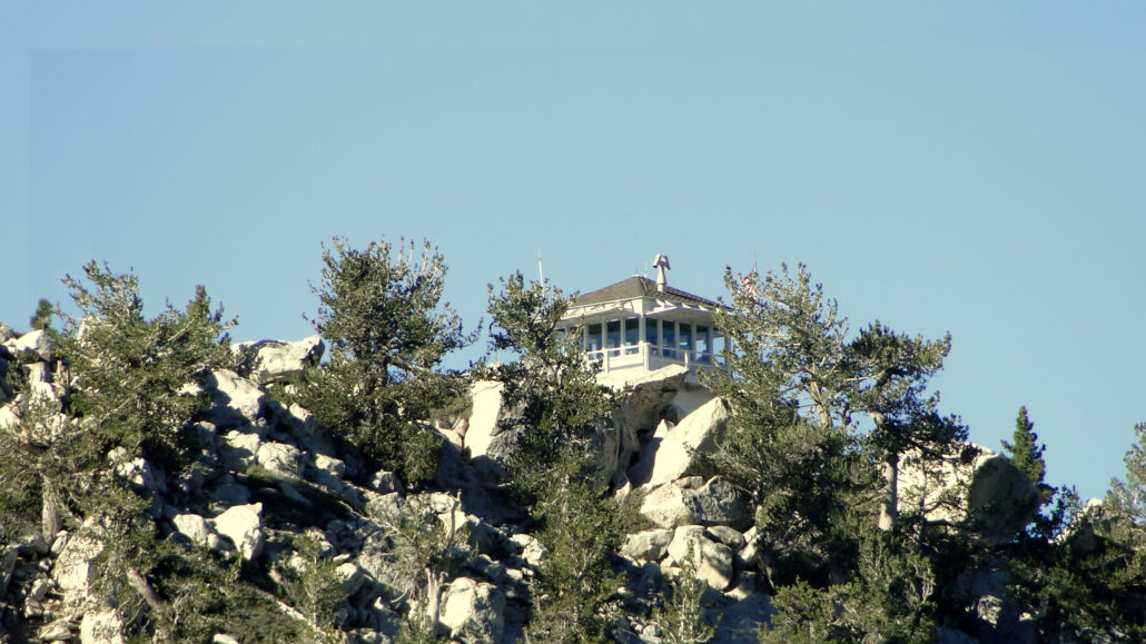
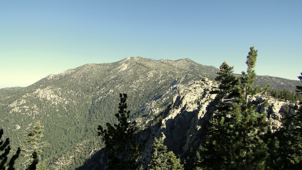
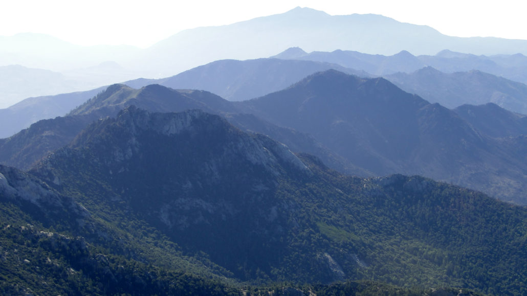
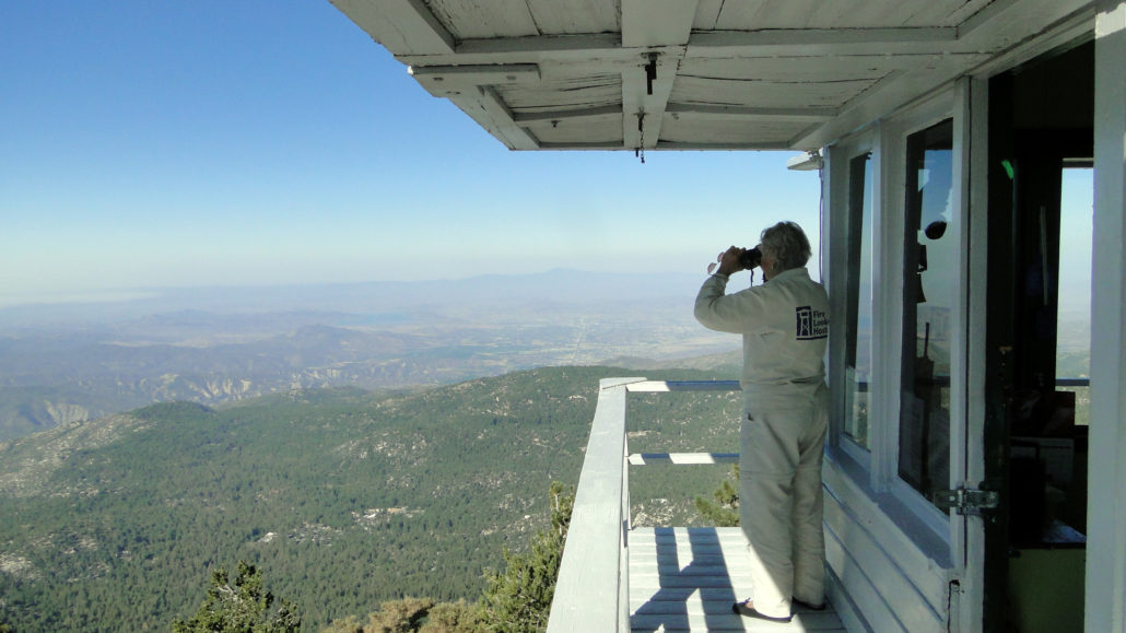
Tahquitz Peak, sometimes known simply as “Tahquitz,” is a prominent peak crowning the South Ridge that hems Idyllwild into large bowl of Strawberry Valley. The peak features a National Forest fire lookout, and is the focus of Native American legend. The climb is a relatively moderate peak-bagging experience that offers tremendous views over the Inland Empire, the Desert Divide, the Santa Ana Mountains, and San Diego County. Lily Rock and Tahquitz Peak Tahquitz gets its name from a demon in Soboba Indian legend. The demon was rumored to make the area his home. The legend, as told by Ernie Maxwell (for whom a nearby trail is named), can be read here, and it involves a demon masquerading as a chief, a revenge attack on the demon, and a battle that shaped the natural formations in the area, including Lake Elsinore. When the demon was killed, the body was burned but the spirit escaped in the smoke and was said to reside in a cave in the San Jacintos. Spooky sugar pines I did not see any evidence of smoke demons on my hike, but I did encounter a fire lookout that does its best to spot smoke of every kind. San Bernadino National Forest operates a seasonal fire lookout at the summit of Tahquitz Peak, which surveys a vast panorama of land throughout Riverside and San Diego County. The lookout is a fairly large structure that houses a bed, a stove, lookout gear, and a fair amount of comforts compared to the other lookouts in the area. The lookout is usually staffed during season, and occasionally volunteers will stay for numerous overnights to provide lookout coverage during the summer and fall fire season. Volunteer at the Tahquitz lookout Tahquitz is also a popular feature with rock climbers, as the numerous granite outcroppings, including conspicuous Lily Rock, below the peak have attracted climbing enthusiasts for over 80 years. The trail to Tahquitz mostly avoids the areas where climbing is most popular, although there is a chance that you may spy climbers on the trip up Devils Slide. South Ridge and some of the
Trail Stats
14.3 km
853 m
2694 m
1966 m
—
Photos
Trail photo
No caption provided.
Trail photo
No caption provided.
Trail photo
No caption provided.
Trail photo
No caption provided.
Trail photo
No caption provided.
Trail photo
No caption provided.
Trail photo
No caption provided.
Trail photo
No caption provided.
Trail photo
No caption provided.
Trail photo
No caption provided.
Trail photo
No caption provided.
Trail photo
No caption provided.
Trail photo
No caption provided.