4 min
Overview
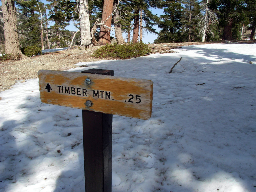
This is the easiest way to reach Timber Mountain, the southernmost of the “Three Tees” on the Three Tees Trail. Timber Mountain is a prominent, forested peak just above Icehouse Canyon, one of the loveliest canyons in the entire San Gabriel Mountains range. Red Tape: If you are continuing past the Wilderness boundary in Icehouse Canyon, you will need a free wilderness permit from the Mount Baldy Visitor Center. If you are planning at overnighting at Chapman or Kelly Camps or anywhere else, you will need to include this on your permit information. Visit or contact the Mount Baldy Ranger Station for more info. I opened the door to the Mount Baldy Visitor Center and walked inside. The warm, dark wood interior was a welcome respite from the howling winds outside. The rangers stood behind their desk – a bearded man and blond woman – smiling at me. “Hi. I’d like a permit for the Cucamonga Wilderness.” Still smiling, the woman said, “We are not recommending anyone go up there today.” “Oh?” The man chimed in. “We’re measuring wind gusts at 60 miles an hour. I almost got knocked down today.” “But of course, we can’t do anything to stop you,” said the woman. Still smiles, that one. I reached for a ballpoint pen and started filling out our Wilderness Permit. “I’m going to try for Ontario Peak. Is it more windy in the canyons, or on the ridge?” “It’s windy everywhere.” The man with the beard was not smiling. All gravitas, he. “What about ice?” “We’re not sure. We haven’t been up there.” Still no smiles. “And you’ve got to remember, most of those trails are pretty narrow. One good gust of wind, and you could get swept off the side like that.” He snapped. The woman smiled and nodded. What was this? Some National Forest game of Good Cop-Bad Cop? I thought back to my times on the Icehouse Canyon Trail. The trail I remembered was narrow, but not that narrow. And it didn’t have any particularly steep drop offs that were life-threatening. The Cucamonga Peak Trail, however, did. “Well, I’ll fill this out and talk it over with the
Trail Stats
15.7 km
1013 m
2530 m
657 m
—
Photos
Trail photo
No caption provided.
Trail photo
No caption provided.
Trail photo
No caption provided.
Trail photo
No caption provided.
Trail photo
No caption provided.
Trail photo
No caption provided.
Trail photo
No caption provided.
Trail photo
No caption provided.
Trail photo
No caption provided.
Trail photo
No caption provided.
Trail photo
No caption provided.
Trail photo
No caption provided.
Trail photo
No caption provided.
Trail photo
No caption provided.
Trail photo
No caption provided.
Trail photo
No caption provided.
Trail photo
No caption provided.
Trail photo
No caption provided.
Trail photo
No caption provided.
Trail photo
No caption provided.
Trail photo
No caption provided.