4 min
Overview
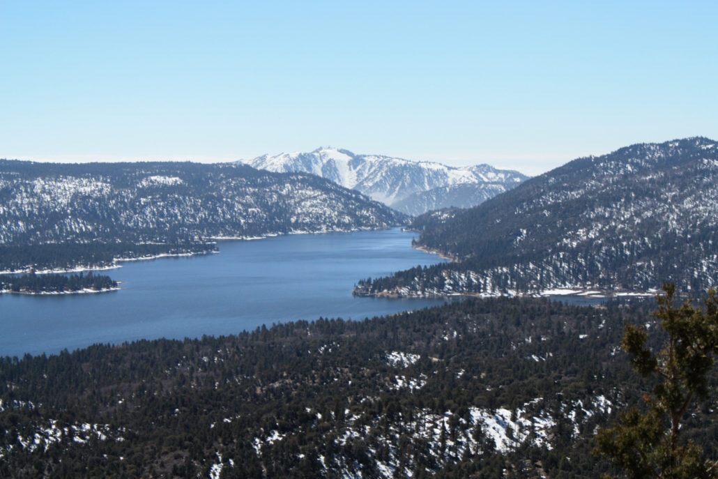
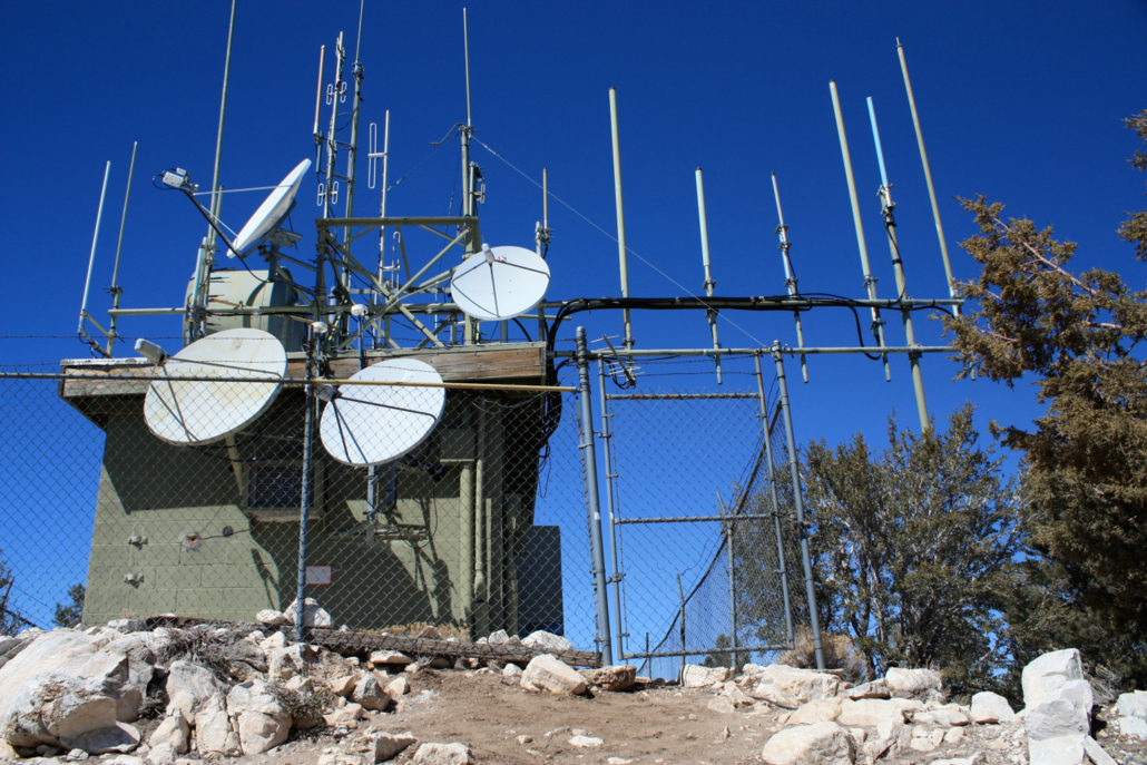
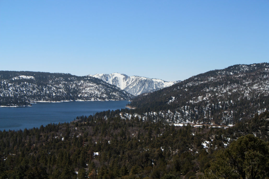
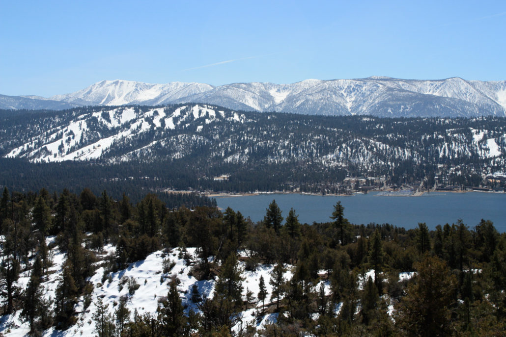
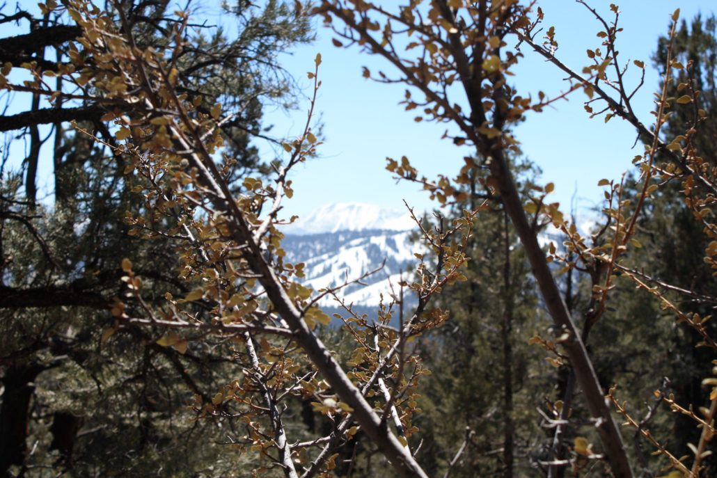
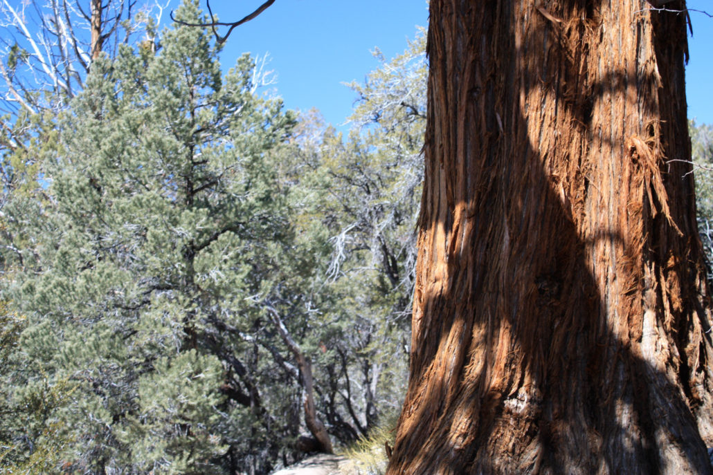
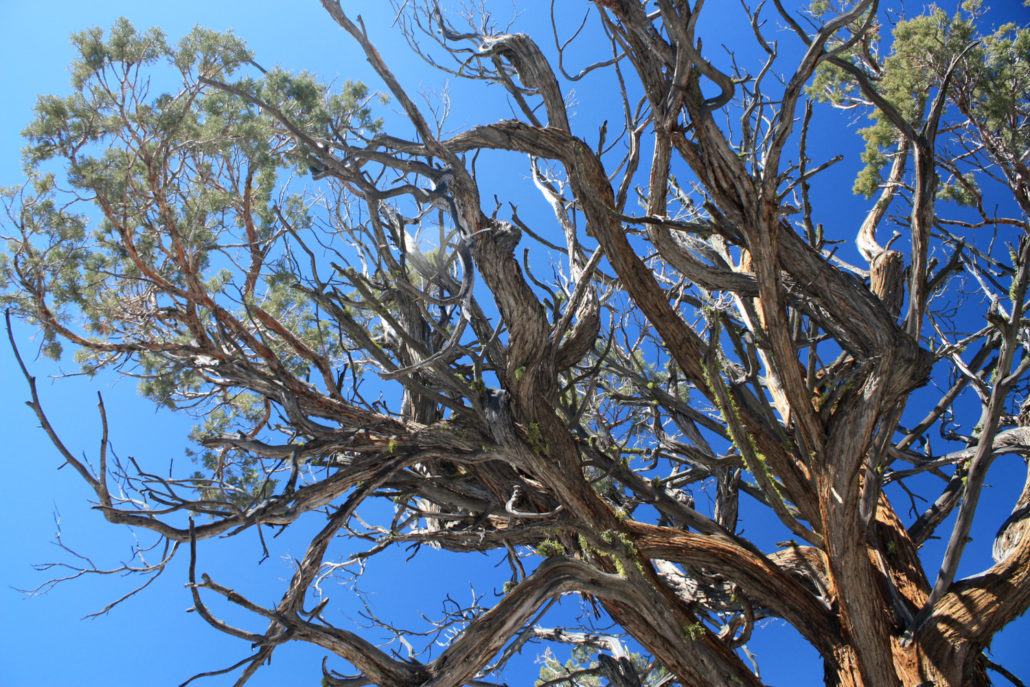
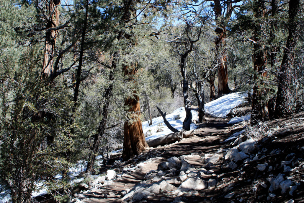
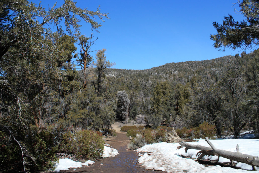
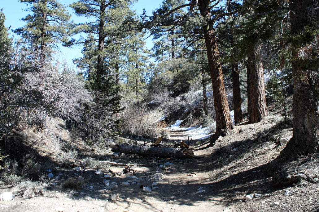
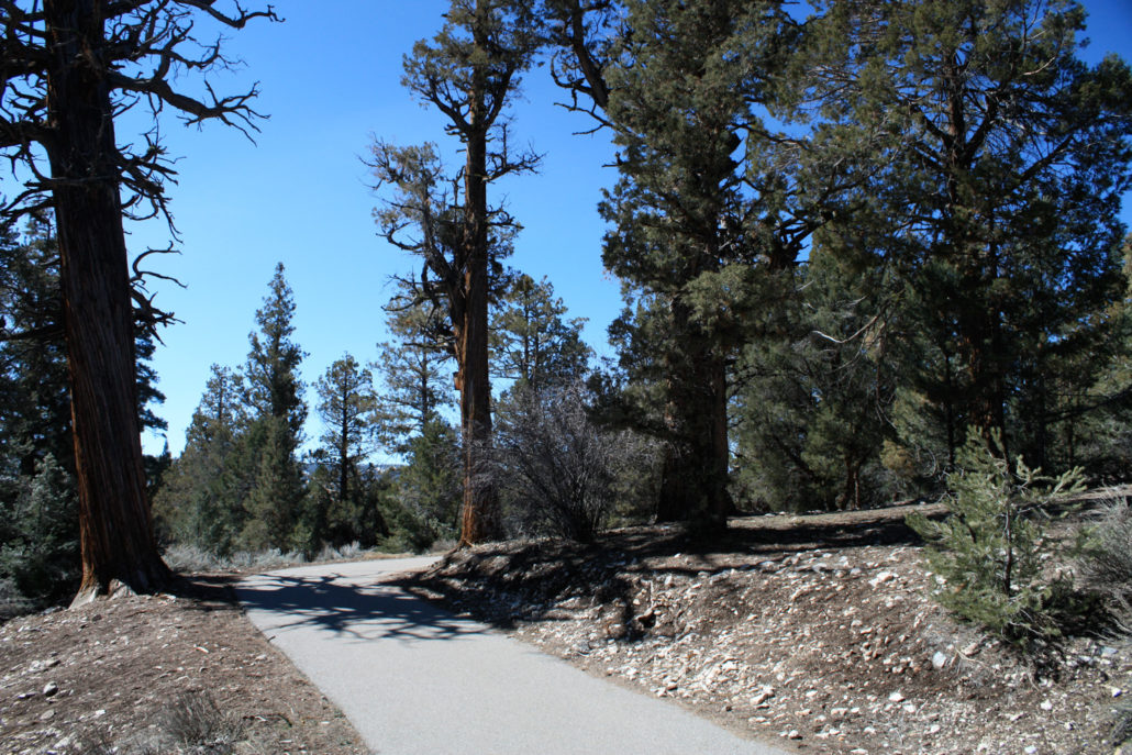
A just-under 8 mile hike from the Big Bear Discovery Center that really highlights everything you’ll want to experience on the north shore of Big Bear Lake — wide lake vistas, great cedars and pines, a meandering, rocky trail, and outstanding views from the top of Bertha Peak — even though it’s got some radio towers on the summit. Since this trail is mostly on the sunny southern slope of the mountain, it will be free of snow earlier in the season than other trails, and makes for a nice hike even when the south side of the lake still has skiing. The Cougar Crest Trail doesn’t officially start in the Big Bear Discovery Center, it was my first time in the area and I wanted to check it out. So after I had my fill of the taxidermy animals and helpful volunteers, I set out on the half-mile paved bike path that leads from the Discovery Center parking lot to the actual trailhead. This section of the trail was mostly level and pleasant as it made its way through the surrounding trees, but you probably won’t be taking much notice on your way to the actual trailhead. The Cougar Crest Trail proper starts out as a wide dirt path near the trailhead, gently sloping through the woods for the first half mile or so. At the one mile mark, the elevation gain begins. It’s not especially steep, but it is a steady gain as it continues winding its way along ridges and bumps, making its way north for the first three miles. You will get some great trees along the way, though, as well as sneak previews of the panoramic views you’ll get at the top of the mountain. For about 0.3 miles, just before the 3 mile mark, the trail does drop to the north side of a low ridge. If there’s any snow or ice left over, it’s going to be in this stretch of trail — which is unfortunately also on one of the steepest slopes on the route. I didn’t use my snowshoes on this trip, but I did have to use trekking poles for balance. At the 3 mile mark, the Cougar Crest Trail intersects with the Pacific Crest Trail. Turn right at the junction, heading east on the sou
Trail Stats
13.0 km
392 m
2497 m
2084 m
—
Photos
Trail photo
No caption provided.
Trail photo
No caption provided.
Trail photo
No caption provided.
Trail photo
No caption provided.
Trail photo
No caption provided.
Trail photo
No caption provided.
Trail photo
No caption provided.
Trail photo
No caption provided.
Trail photo
No caption provided.
Trail photo
No caption provided.
Trail photo
No caption provided.
Trail photo
No caption provided.