4 min
Overview
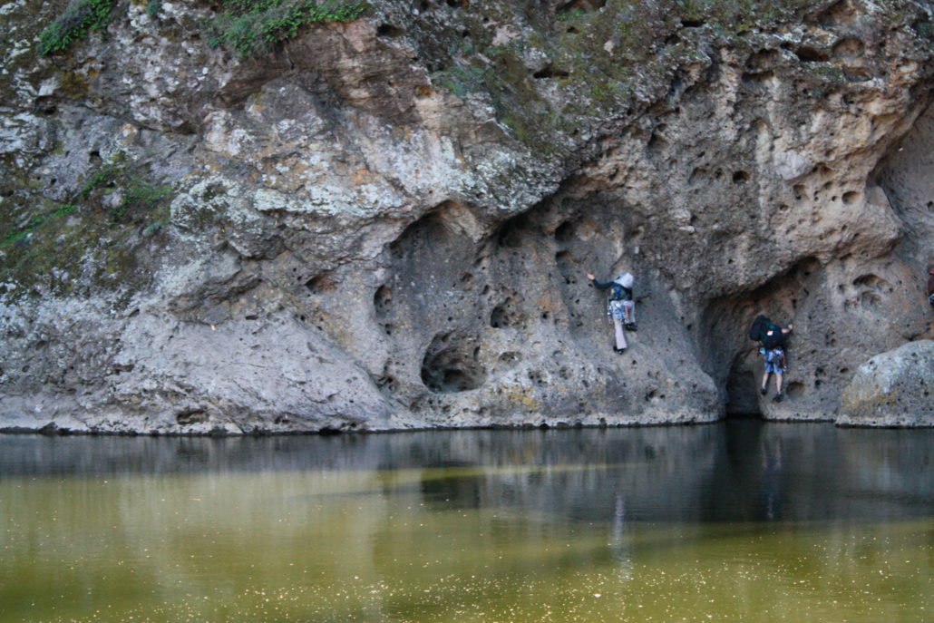
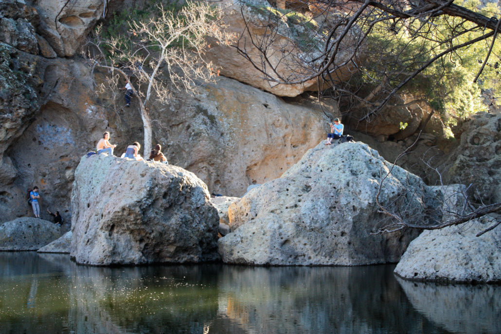
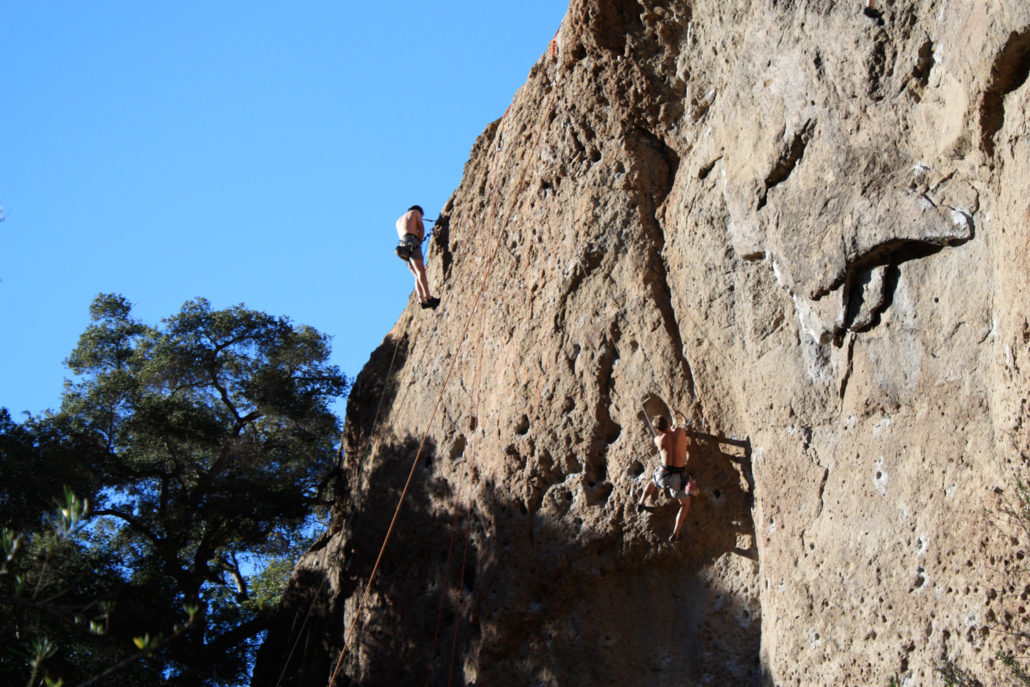
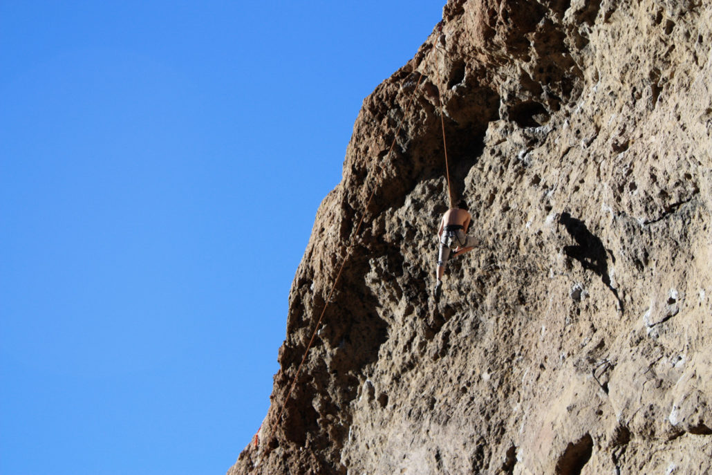
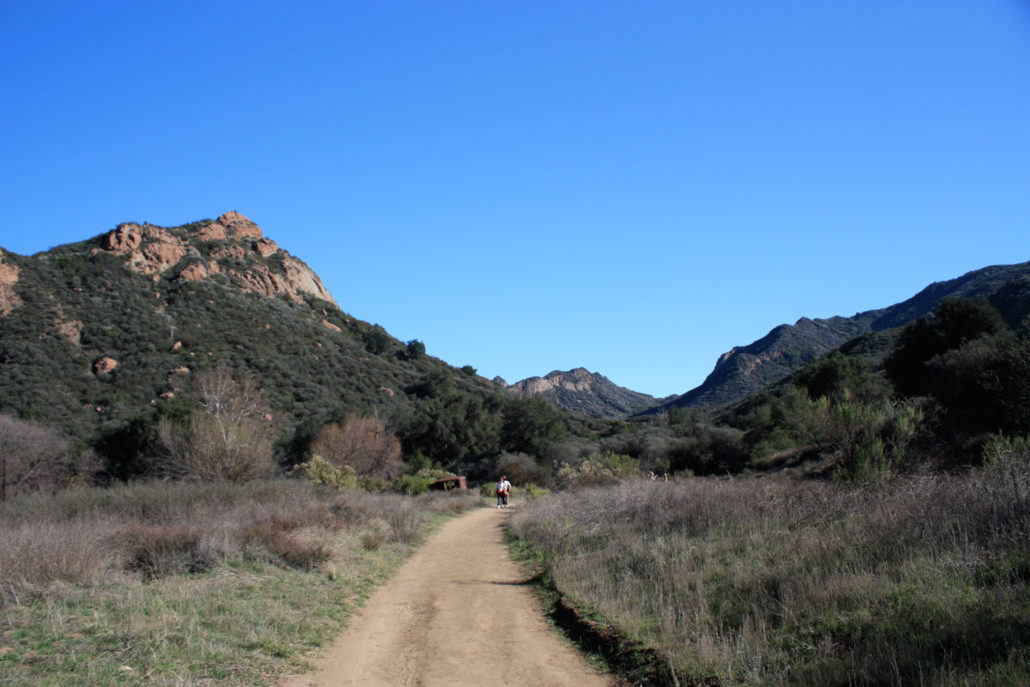
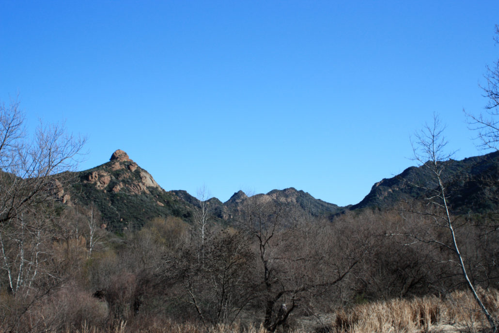
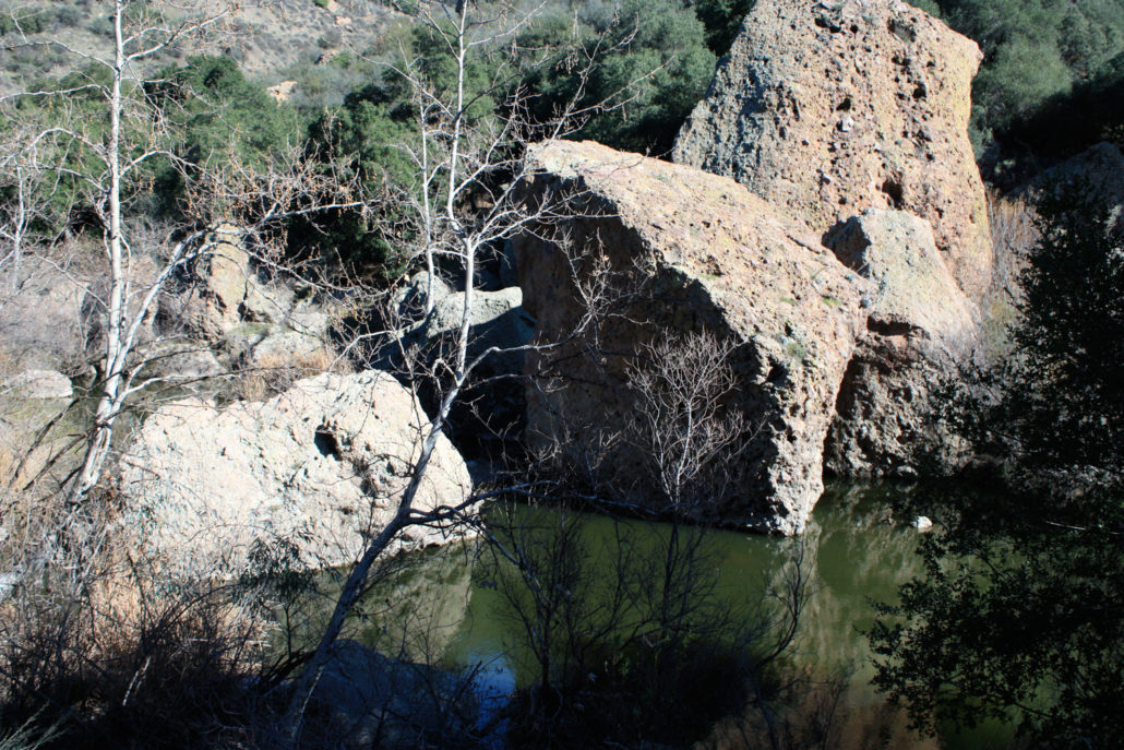
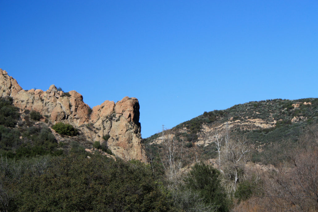
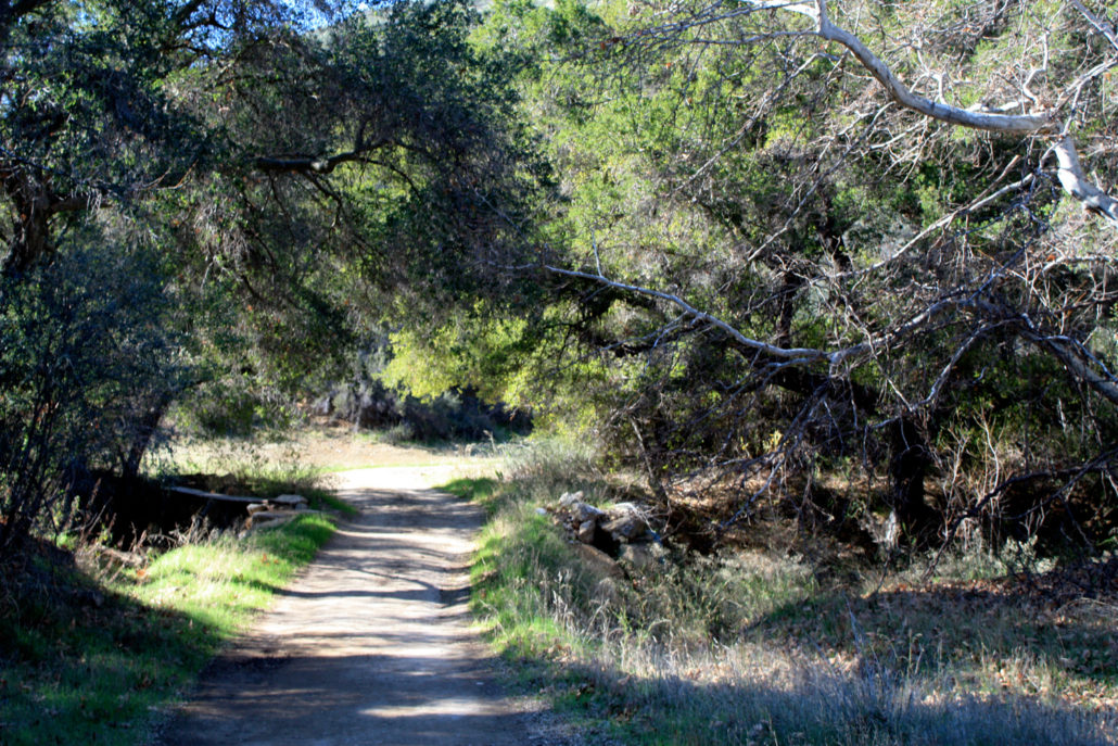
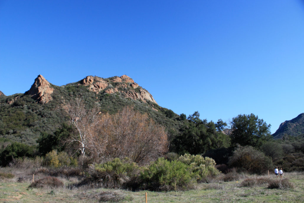
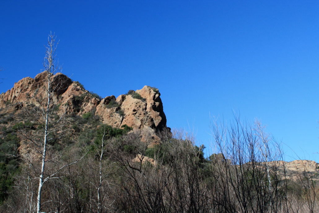
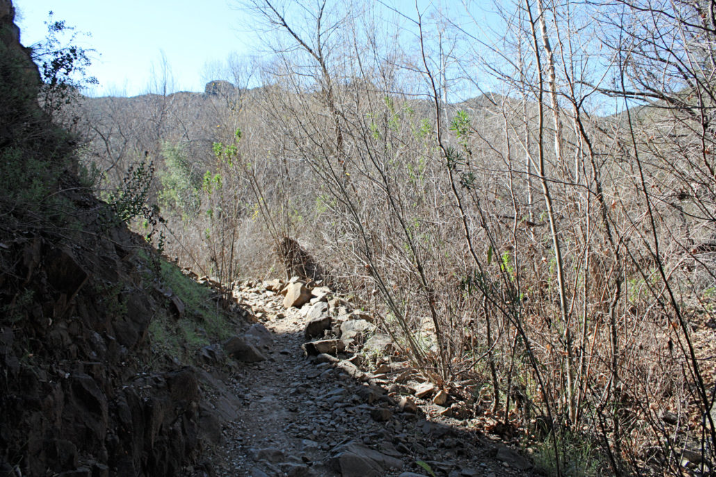
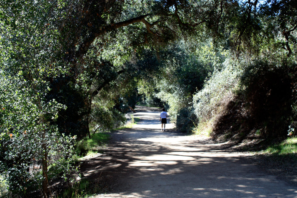
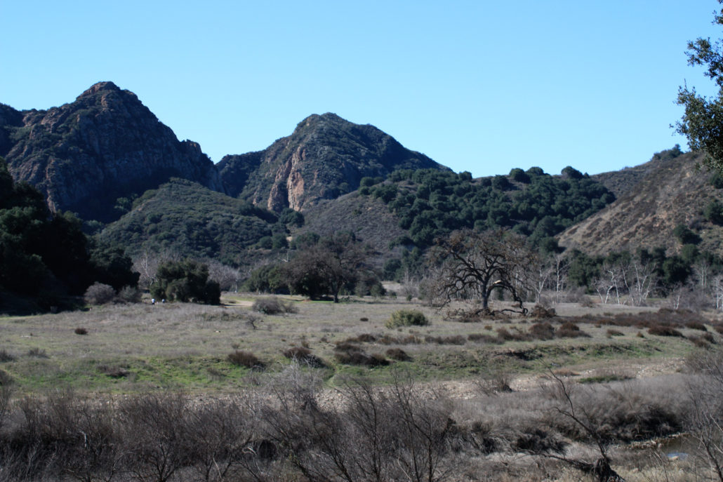
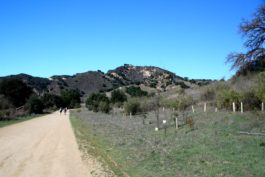
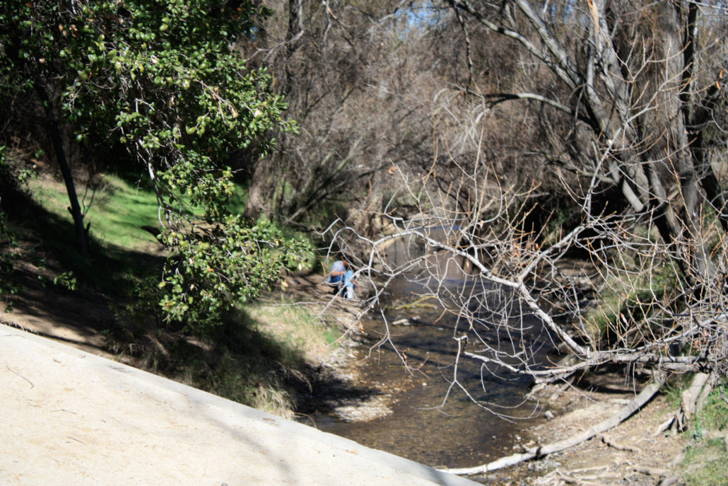
An 8 mile in-and-out, exploring the lower canyon sections of Malibu Creek State Park. Lots of stream-side scenery, a few man-made lakes, spectacular Santa Monica Mountains scenery, and lots of side-trails make this an excellent area for a day hike or overnight. This has been and continues to be a popular place to shoot TV and movies — there are still a few remnants of the old M*A*S*H set here — and the creekside pools and rock formations are popular places for swimming and rock-climbing. Malibu Creek State Park is a sprawling chunk of parkland in the Santa Monica Mountains, hugging the Malibu Creek as it flows into the ocean, while also stretching east along the Backbone Trail. There are several distinct sections of the park, and this write-up roughly covers the “lower canyon” area, along the trails that follow Malibu Creek through a striking section of the mountains known as the Goat Buttes. After driving up Malibu Canyon Road, pay your parking admission ($10 at the time of writing), and park in the southernmost lot you can. You’ll see a small information kiosk, some horse-posts, and a bathroom. Cross the road heading west and you’ll see a well-marked paved road headed toward the backcountry trail system. The trail starts off on pavement, and quickly crosses a bridge over Malibu Creek. If the water levels are good, you may see people dipping their toes in the water or splashing around. I even saw a few people fishing upstream a bit, although I don’t know if the fishing is any good — the stream seemed a bit shallow in this area. The pavement only lasts for about a tenth of a mile — after that, it’s all fire road and single-track trail. At about the 0.2 mile mark, you’ll come upon the junction with the Grassland Trail, which heads north into the Liberty Canyon Natural Preserve, strolling along some distinctive SoCal grassy hills. Continue on the fire road for another tenth of a mile, where you have the option of boulder-hopping across the creek or veering right onto High Road to keep dry. Hopping across the cree
Trail Stats
13.3 km
68 m
232 m
67 m
—
Photos
Trail photo
No caption provided.
Trail photo
No caption provided.
Trail photo
No caption provided.
Trail photo
No caption provided.

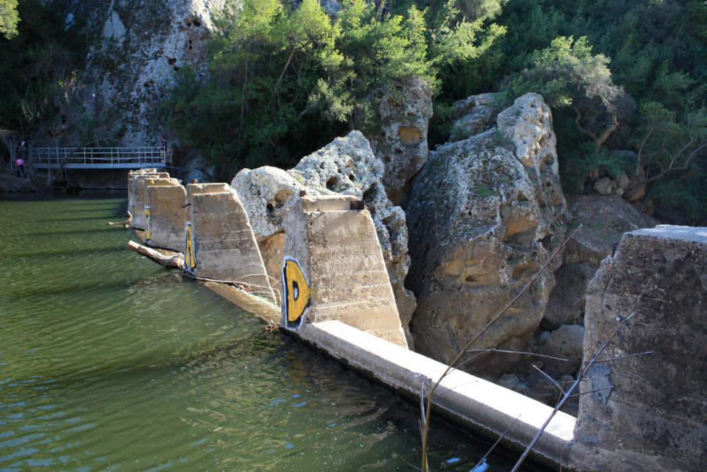
Century Lake at Malibu Creek State Park
Century Lake at Malibu Creek State Park
Trail photo
No caption provided.
Trail photo
No caption provided.
Trail photo
No caption provided.
Trail photo
No caption provided.
Trail photo
No caption provided.
Trail photo
No caption provided.
Trail photo
No caption provided.
Trail photo
No caption provided.
Trail photo
No caption provided.
Trail photo
No caption provided.
Trail photo
No caption provided.
Trail photo
No caption provided.
Trail photo
No caption provided.
Trail photo
No caption provided.
Trail photo
No caption provided.
Trail photo
No caption provided.
Trail photo
No caption provided.
Trail photo
No caption provided.