5 min
Overview
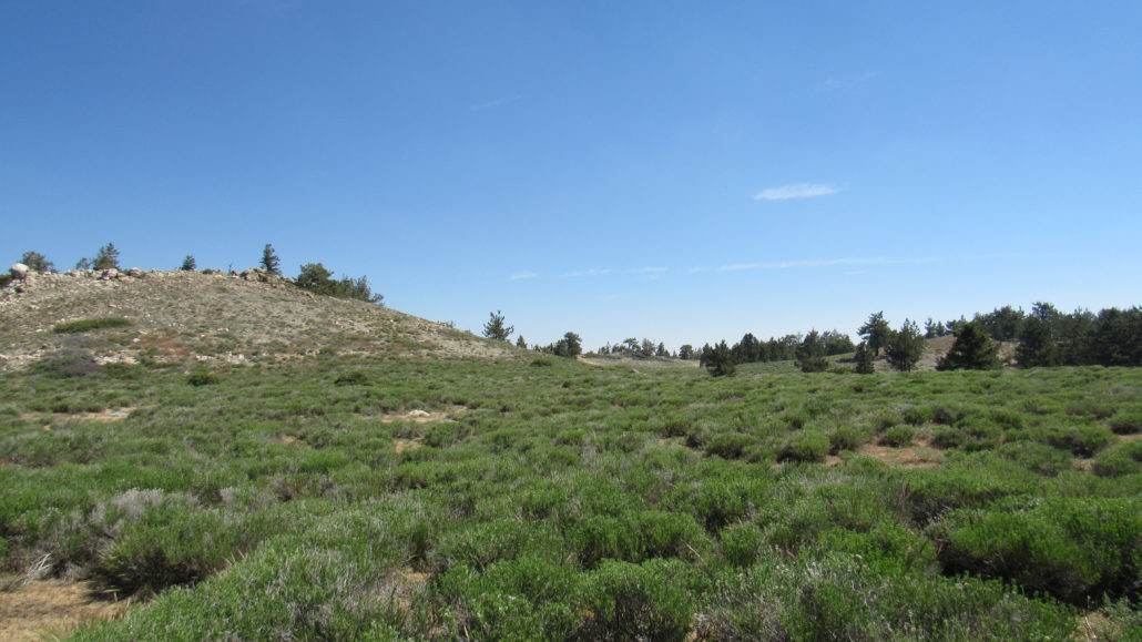
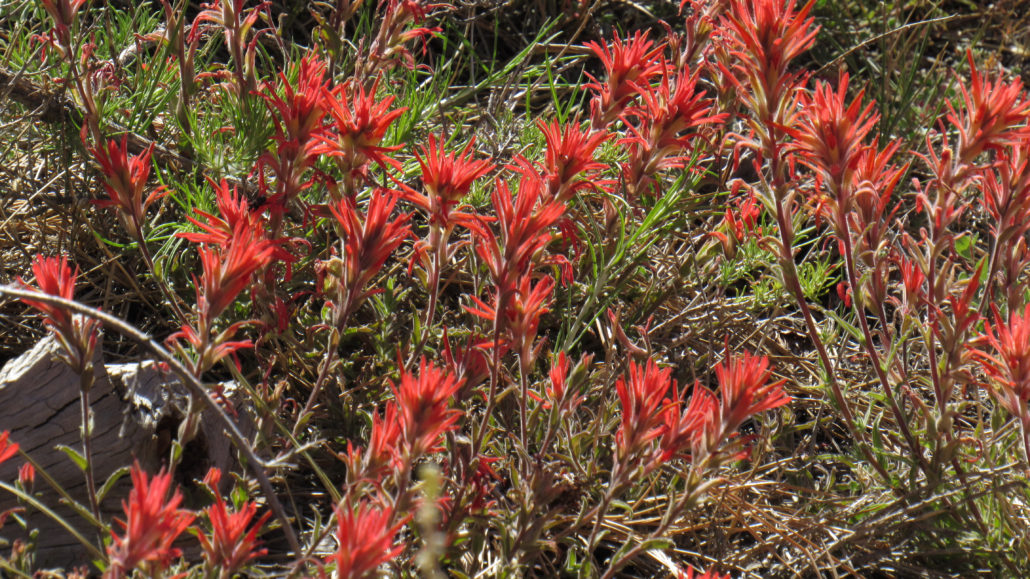
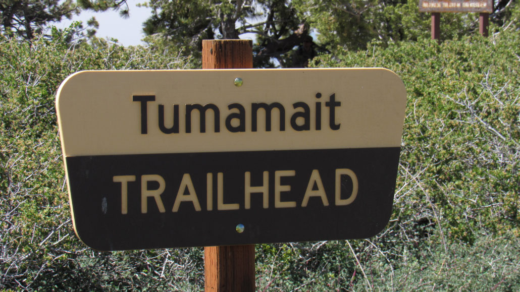
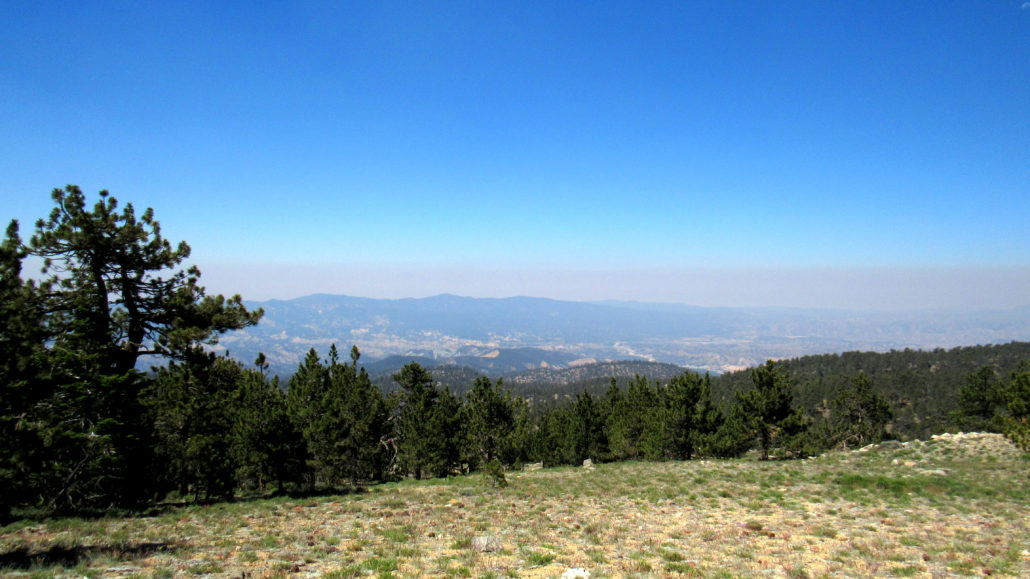
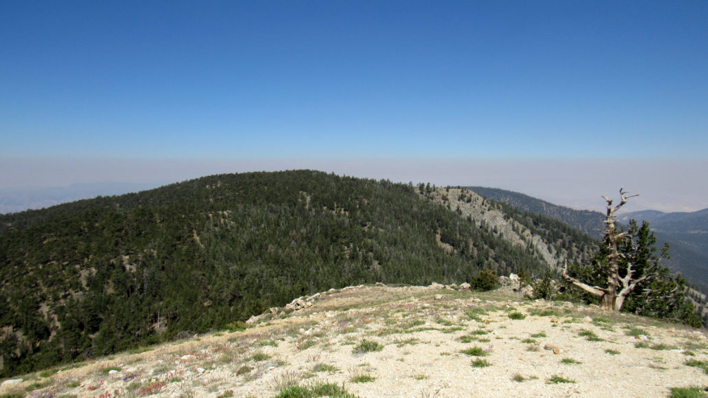
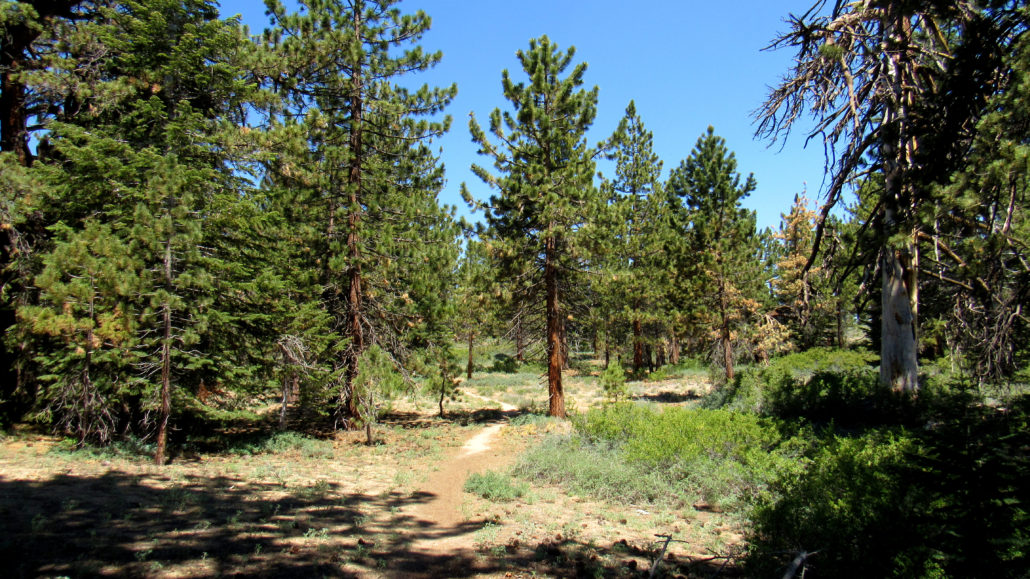
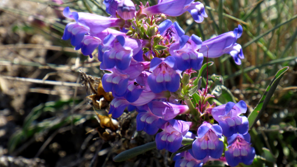
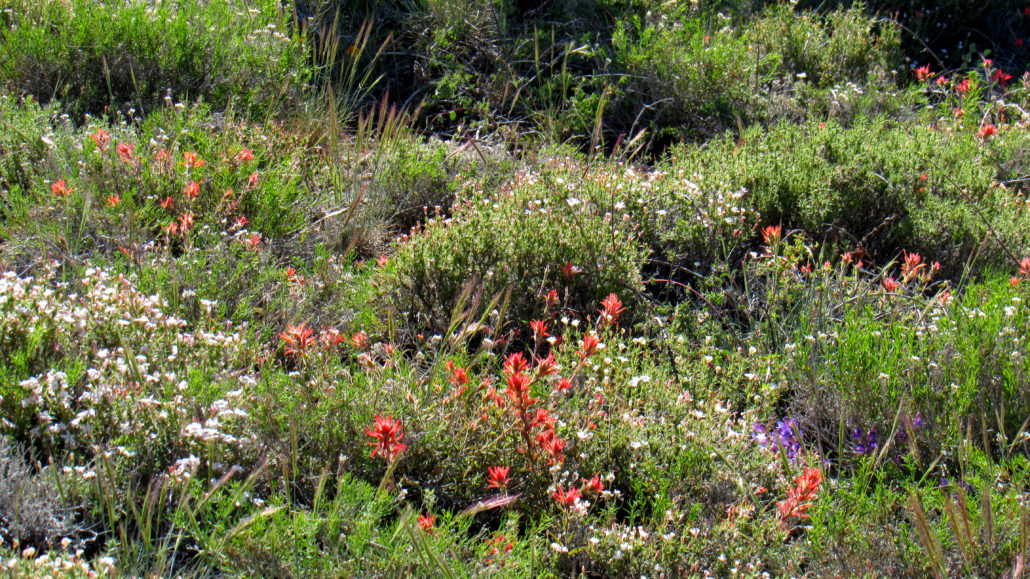
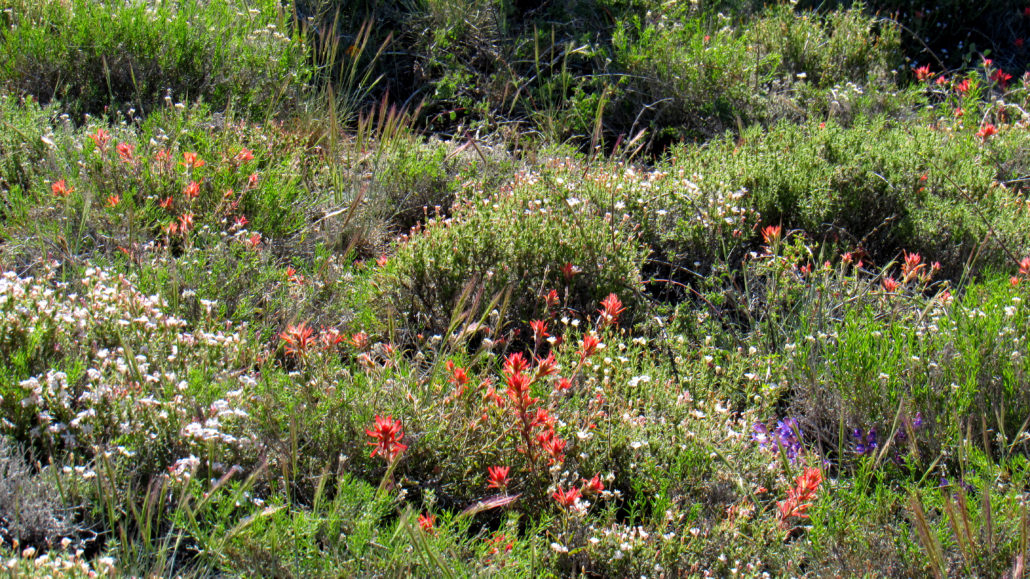
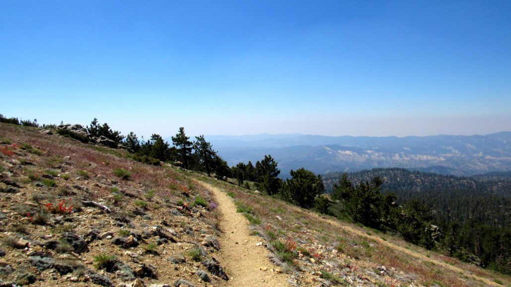
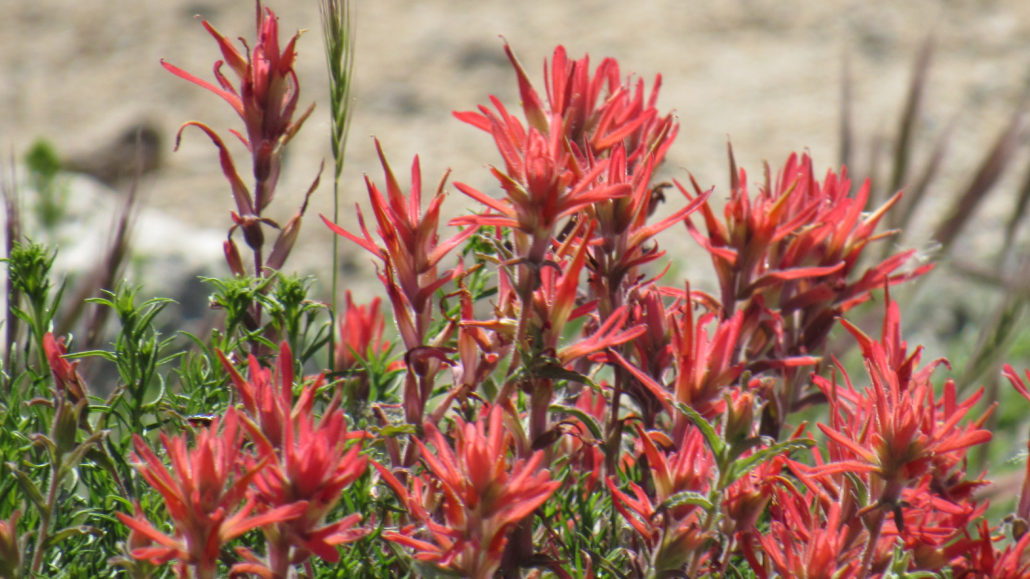
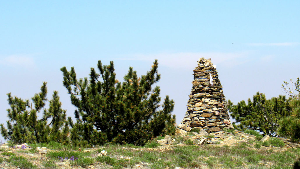
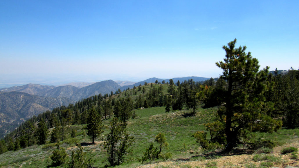
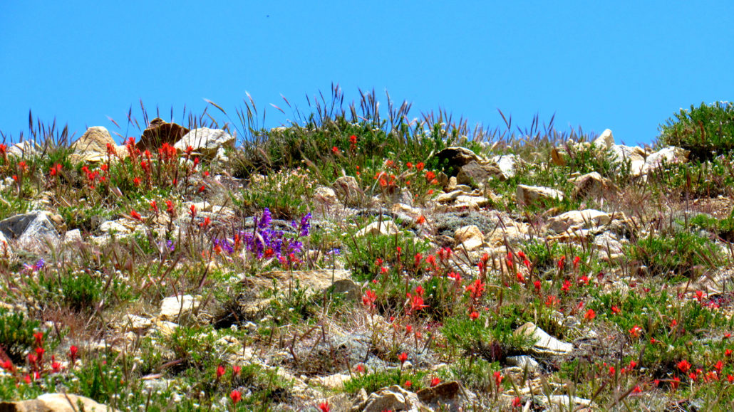
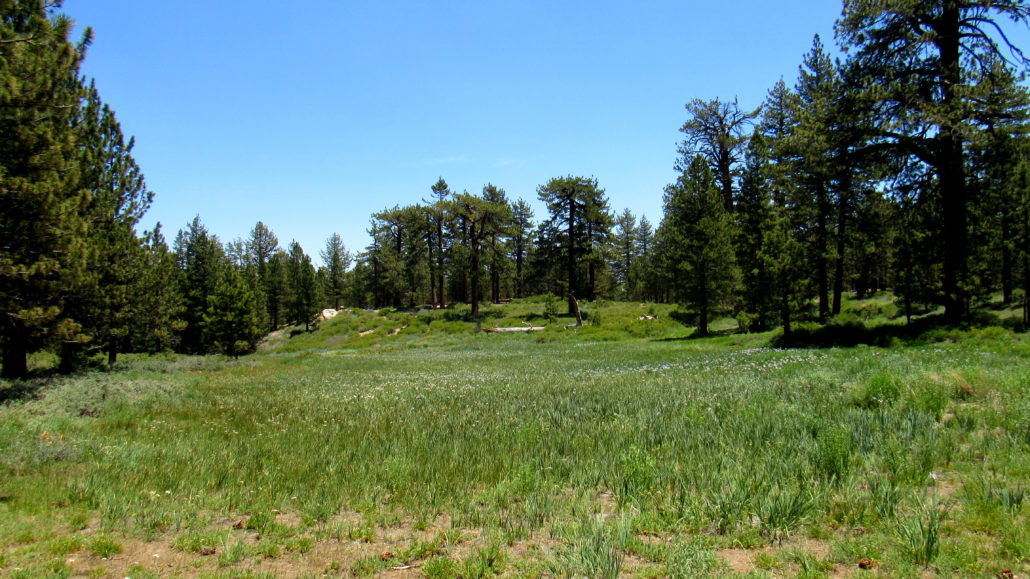
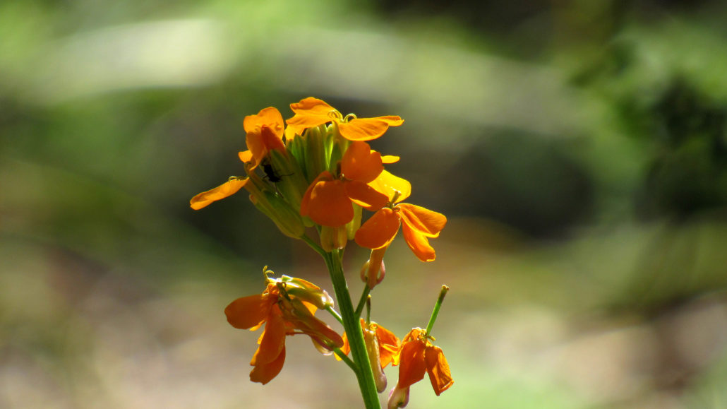
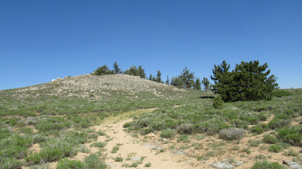
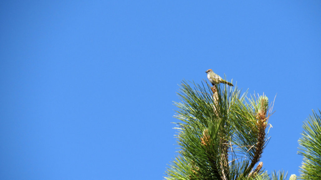
How would you like to bag two Southern California County high points in one go? Sounds unrealistic? Too much work? Well, perhaps if you were trying to tag San Gorgonio and San Jacinto all in one day. Yes, some hardy souls attempt this feat as part of Adventure 16’s Three Peak Challenge, and more power too them. However, if you are looking for something a little more reasonable, consider tag-teaming the twin high points of Mount Pinos and Sawmill Mountain. These two peaks represent the highest point in their respective counties, Ventura and Kern. Because both peaks sit atop a ridge standing high above the San Andreas Rift Zone, and because they are a mere 1.1 linear miles apart across a saddle split by the Ventura-Kern County line, all it takes is a moderately difficult hike to connect the two peaks. If you harbor ambitions of hiking all of SoCal’s County High Points as I do, you can’t help but appreciate such efficiency. In addition to bucket list-style peak bagging, this hike features a fascinating landscape full of interesting cultural, geological, avian, and scenic highlights. Several large dry meadows and a lovely wet meadow bound by forests of Jeffrey pines characterize the landscape, and at the highest points, the ever-flexible limber pines, yogis of the natural world, oversee the vast, rippling landscape of the San Emigdo Mountains as they recede into the San Joaquin Valley. Late spring brings a number of wildflowers, and the extremely lucky may possibly spot a California condor soaring high above from the Condor Observation Site. Start from the large parking area that serves the Mt. Pinos Nordic Area and several other trails radiating from this hub. An access road climbs away from the west side of the lot. Just before the road bends to the west, look off to the right and spy a wet meadow glistening in the high altitude sunshine. You can split off from the main road to approach the edge of the meadow so as to observe the spring wildflowers or simply to marvel that enough water exists in this dry environ
Trail Stats
6.0 km
457 m
2712 m
2529 m
—
Photos
Trail photo
No caption provided.
Trail photo
No caption provided.
Trail photo
No caption provided.
Trail photo
No caption provided.
Trail photo
No caption provided.
Trail photo
No caption provided.
Trail photo
No caption provided.
Trail photo
No caption provided.
Trail photo
No caption provided.
Trail photo
No caption provided.
Trail photo
No caption provided.
Trail photo
No caption provided.
Trail photo
No caption provided.
Trail photo
No caption provided.
Trail photo
No caption provided.
Trail photo
No caption provided.
Trail photo
No caption provided.
Trail photo
No caption provided.
Trail photo
No caption provided.