5 min
Overview
As we have witnessed more and more over the past few decades, Southern California is an extremely flammable place. Every year between Memorial Day and early December, drought, winds, and heat turn shrubs and woodlands into potential tinderboxes. All it takes is one spark in a field of dry, non-native grasses, and before we know it, 50,000 acres have burnt, millions of dollars of property have been destroyed, and countless lives have been endangered. These conditions have threatened homes, lives, and ecosystems in the region for as long as people have lived here. Historically, fires would burn slowly through the surrounding mountains, creating a patchwork of habitats in varying stages of fire recovery. Exponential growth in population and development in the Southern California region over the last 150 years has changed all that, and now the formerly benign fires have become potential cataclysms every time one starts up. In the early 1900’s, various officials across different agencies began to prioritize fire suppression in response to the growing risk to population growth. Given fire’s propensity to spread rapidly, officials determined that early detection would be the best way to suppress small fires and prevent them from becoming catastrophic conflagrations. Over the next three decades, the forest service and other agencies built numerous lookout towers on the region’s high points, creating a network of points from which to triangulate the location of fires, communicate the locations, and use that information to stamp out fires before property and people could be damaged. For 40-50 years, the lookouts served their purpose until funding issues, new technologies, and increasing urbanization led officials to believe that forest fire lookout towers had become obsolete. During the 70’s and 80’s, funding dried up, towers closed, and many of the lookouts entered into states of advanced dilapidation varying from utter collapse, dismantlement, or quaint, cobwebbed curiosities. As the years went on and the region expe
Trail Stats
6.2 km
822 m
2344 m
1558 m
—
Photos
Trail photo
No caption provided.
Trail photo
No caption provided.
Trail photo
No caption provided.
Trail photo
No caption provided.

Trail photo
No caption provided.
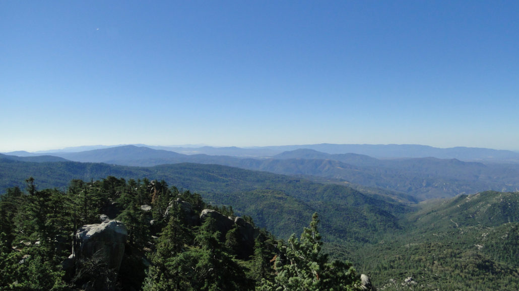
Trail photo
No caption provided.
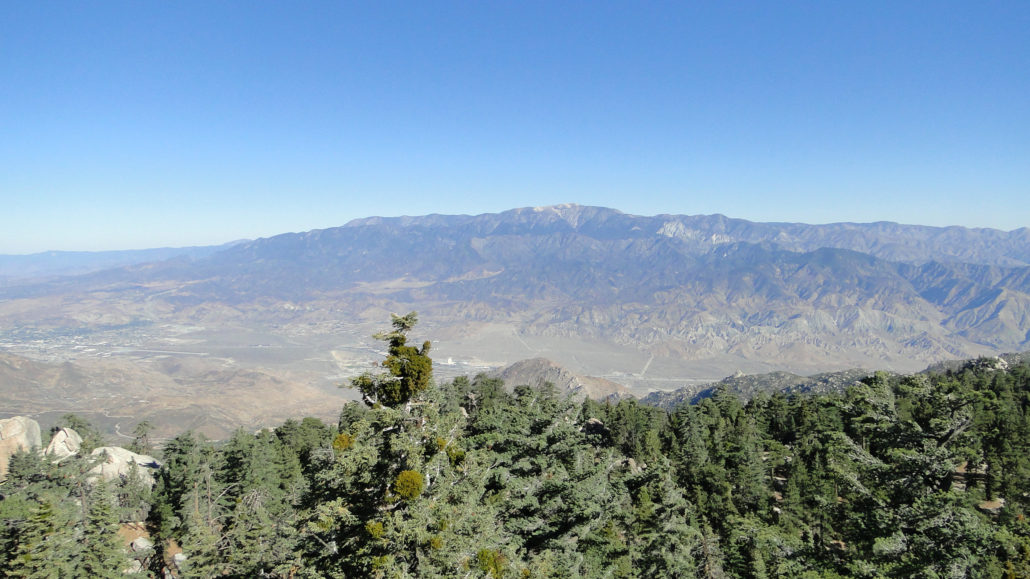
Trail photo
No caption provided.
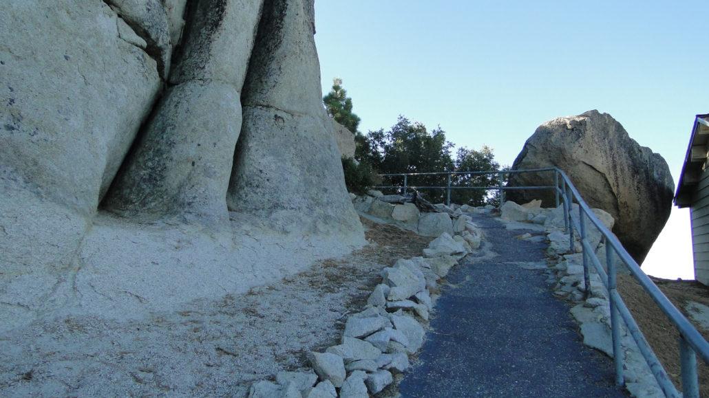
Trail photo
No caption provided.
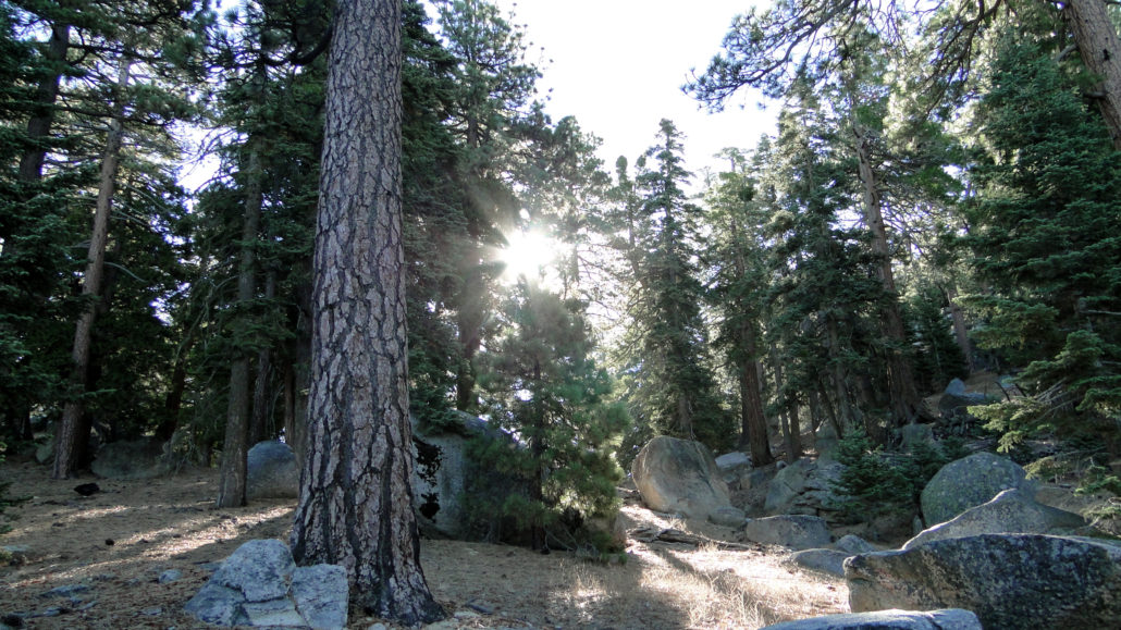
Trail photo
No caption provided.
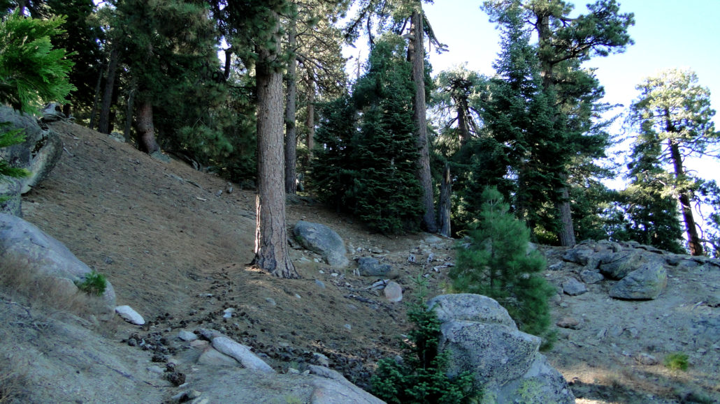
Trail photo
No caption provided.
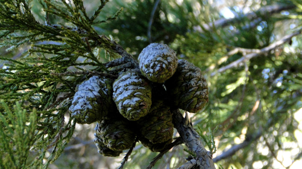
Trail photo
No caption provided.
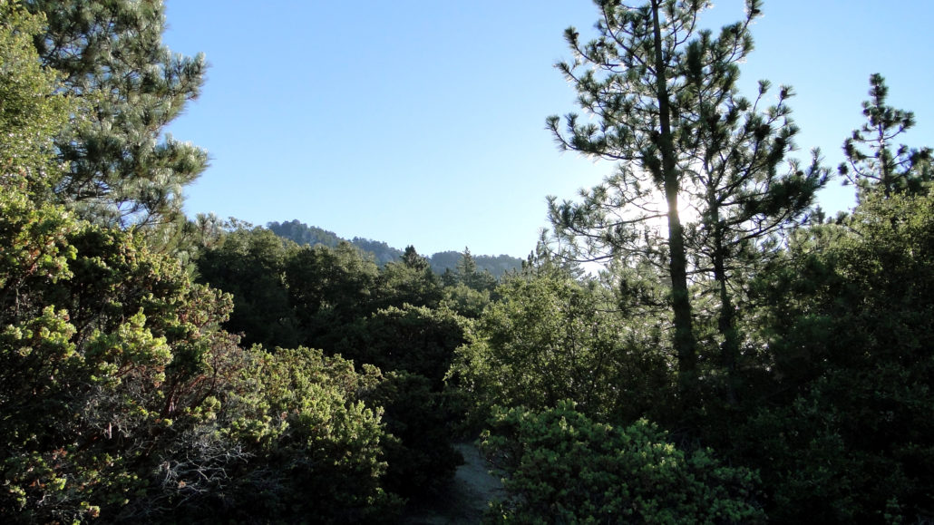
Trail photo
No caption provided.
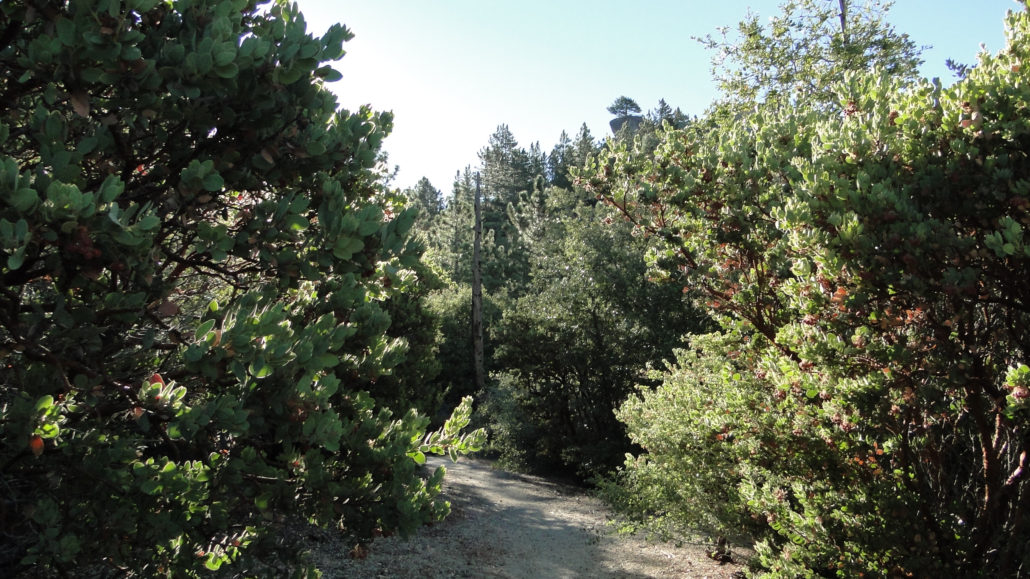
Trail photo
No caption provided.
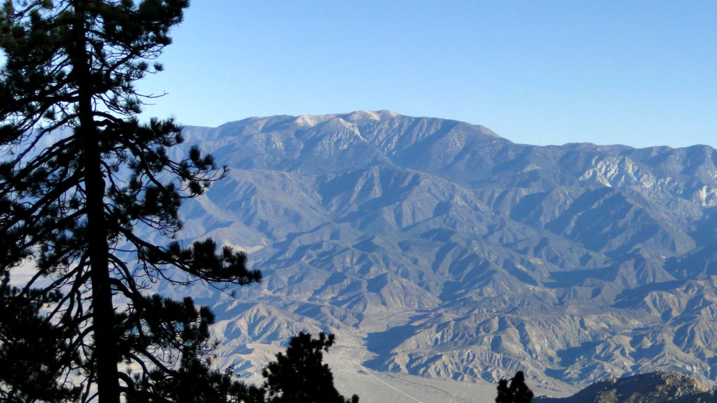
Trail photo
No caption provided.
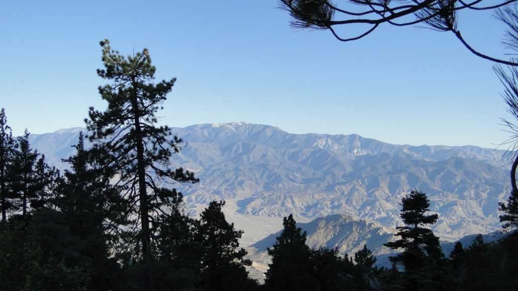
Trail photo
No caption provided.