4 min
Overview
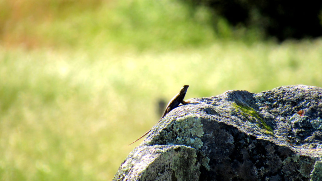
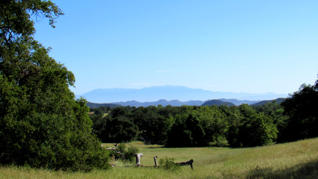
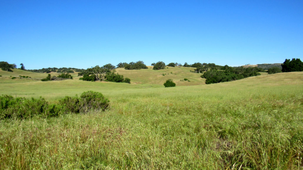
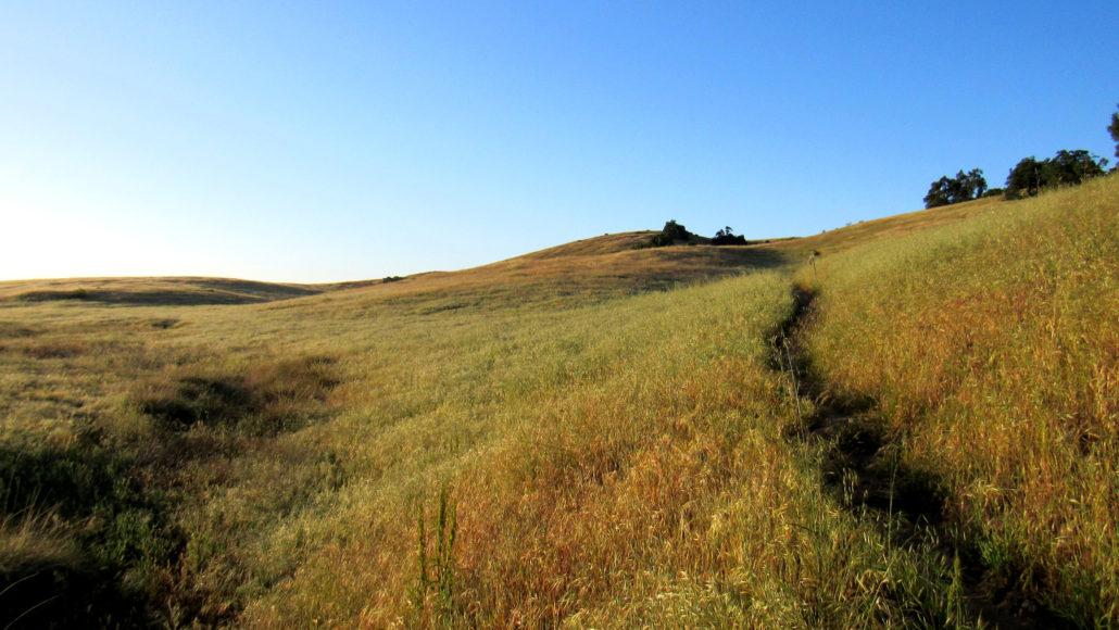
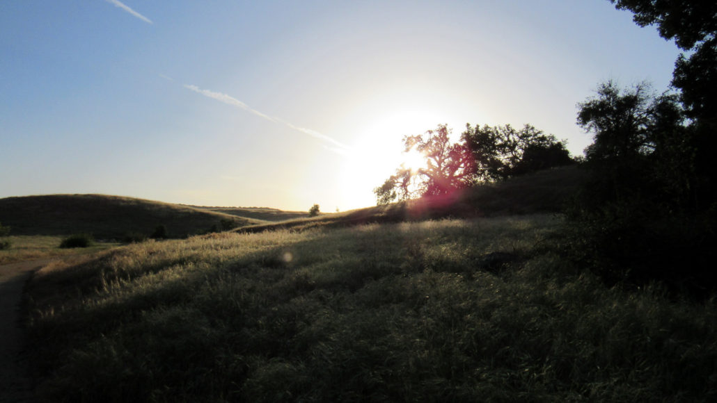
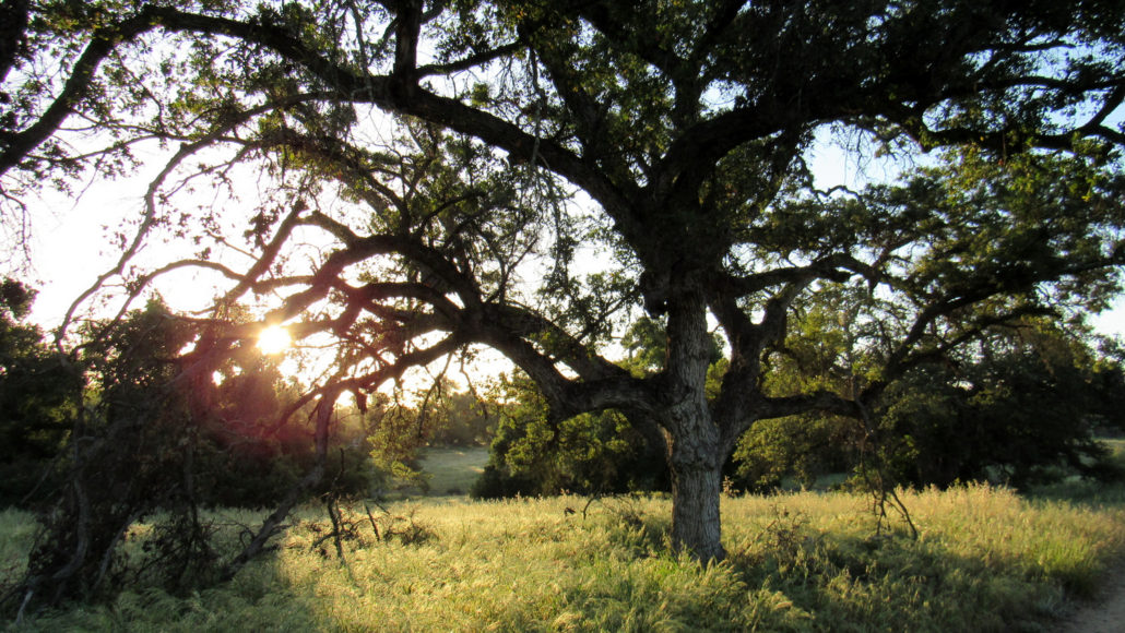
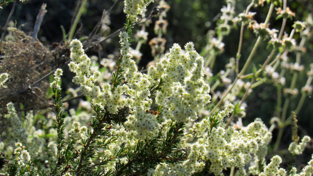
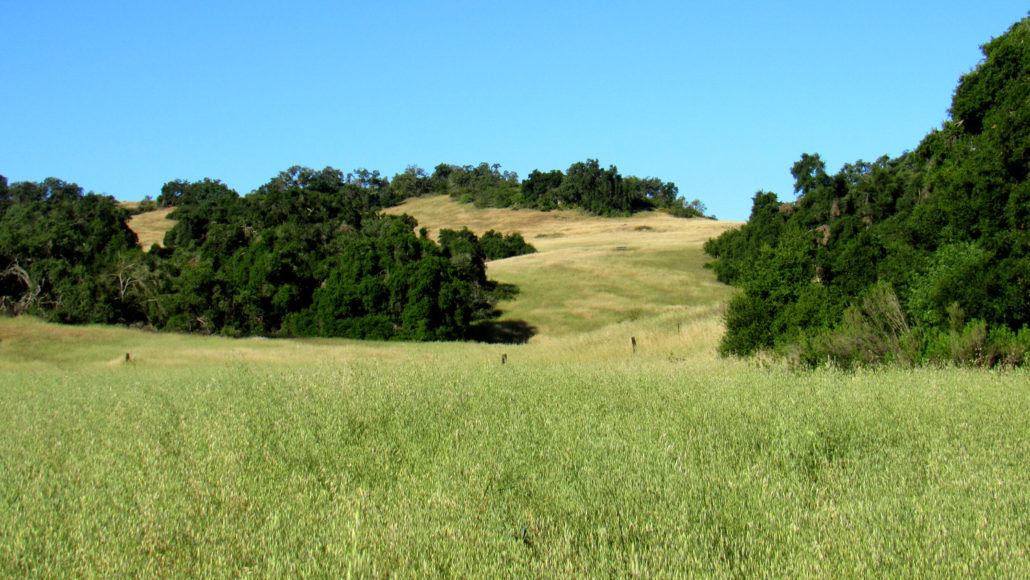
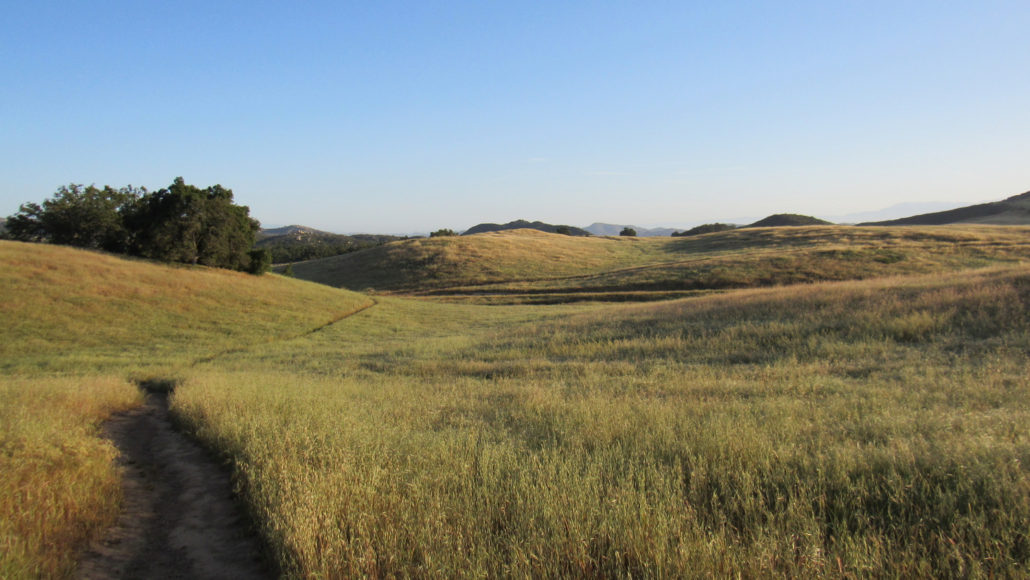
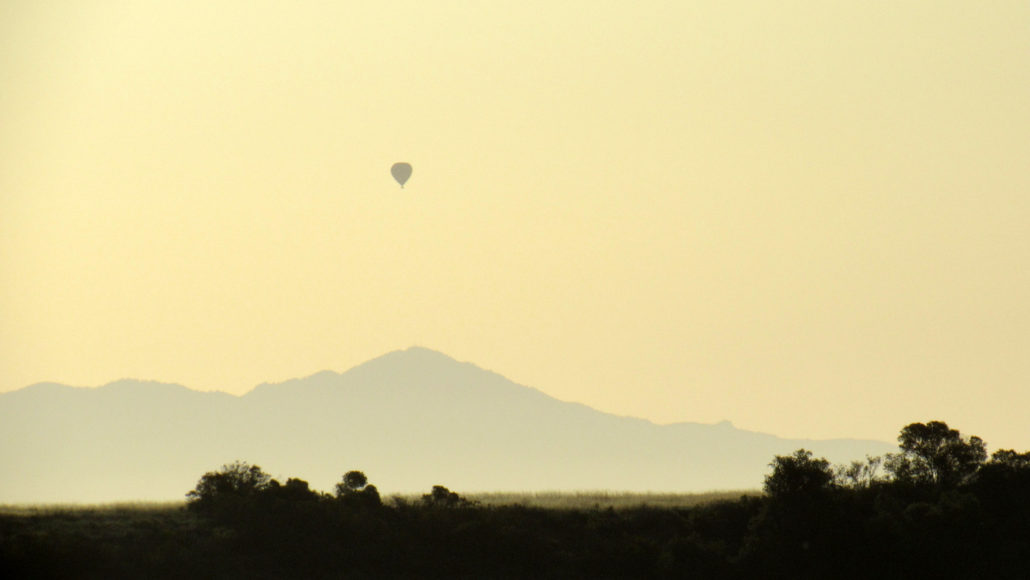
This moderately strenuous loop showcases the beauty and diversity of the Santa Rosa Plateau in satisfying fashion. As you make your way along the southern third of the reserve, you’ll sample nearly every ecosystem on the plateau, including grasslands, Engelmann and coast live oak woodlands, chaparral, sage-scrub, and riparian woodlands. You’ll also visit the historic adobe compound, and you’ll have the option for a side trip up to the reserve’s largest vernal pool. Note: As of this writing, there is a $4 fee for day use at the reserve. Grasslands and Oak Woodlands Take a stroll through the Santa Rosa Plateau Ecological Reserve, and you’ll encounter the quintessentially Southern California scene of waist-high grasses rippling in the breezes beneath the spreading boughs of gnarled oaks. This ecological wonderland preserves natural features that were once abundant across coastal SoCal, but which have now largely been relegated to small ecological islands by urban development. Fencepost Lizard sunning itself on lichen-encrusted boulders Much of the visitation at this popular reserve occurs near the Visitor Center, the Vernal Pools Trailhead, and the access points for Sylvan Meadows. On any given weekend day, especially those that are cool, heavy hiker traffic buzzes along the intricate trail network adjacent to these access points. Hikers willing to venture deeper into the reserve on the Punta Mesa Trail and Trans-Preserve Trails will achieve a satisfying amount of solitude, as well as a rich natural experience devoid of the encroachment of civilization. Hot Air Balloon over Pechanga with Toro Peak in the background A few warnings apply: The areas surrounding Temecula Valley can become brutally hot during the late spring, summer, and early fall months. Hikers seeking to walk the trails during these times are advised to start as early as possible and to avoid the hottest parts of the day (10am – 4pm). Vista Grande Trail in the early morning Additionally, rattlesnakes are common on the reserve. This route eschews w
Trail Stats
16.4 km
304 m
631 m
487 m
—
Photos
Trail photo
No caption provided.
Trail photo
No caption provided.
Trail photo
No caption provided.
Trail photo
No caption provided.
Trail photo
No caption provided.
Trail photo
No caption provided.
Trail photo
No caption provided.
Trail photo
No caption provided.
Trail photo
No caption provided.
Trail photo
No caption provided.
Trail photo
No caption provided.
Trail photo
No caption provided.
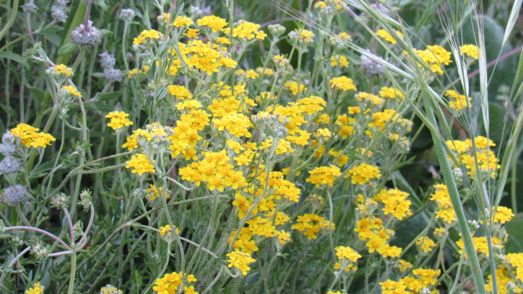
Trail photo
No caption provided.
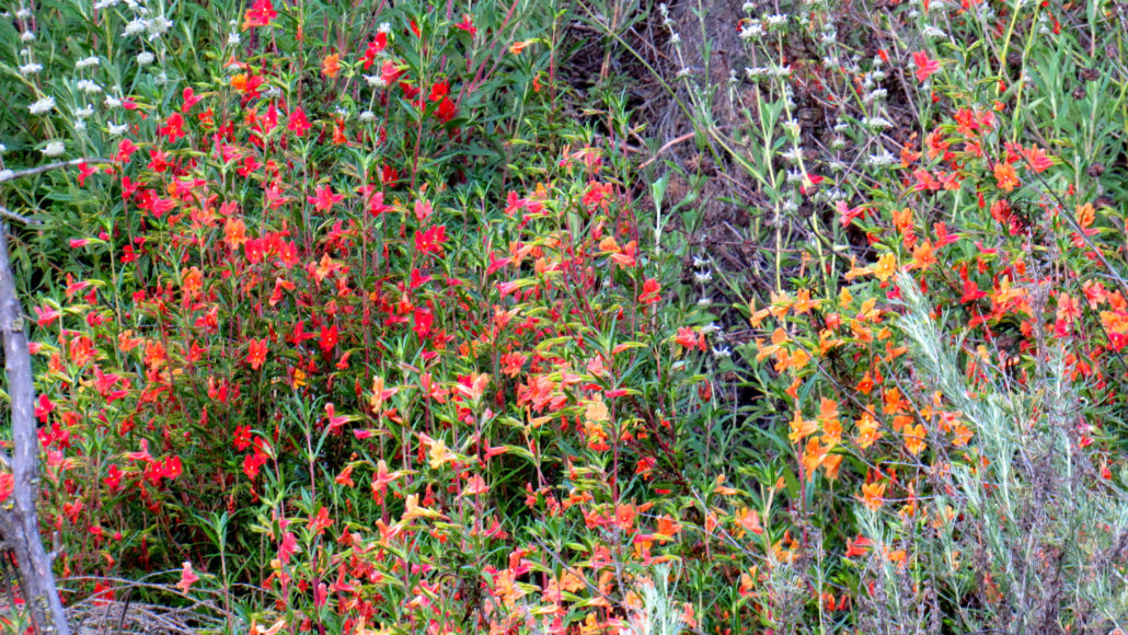
Trail photo
No caption provided.
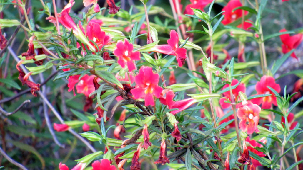
Trail photo
No caption provided.