3 min
Overview
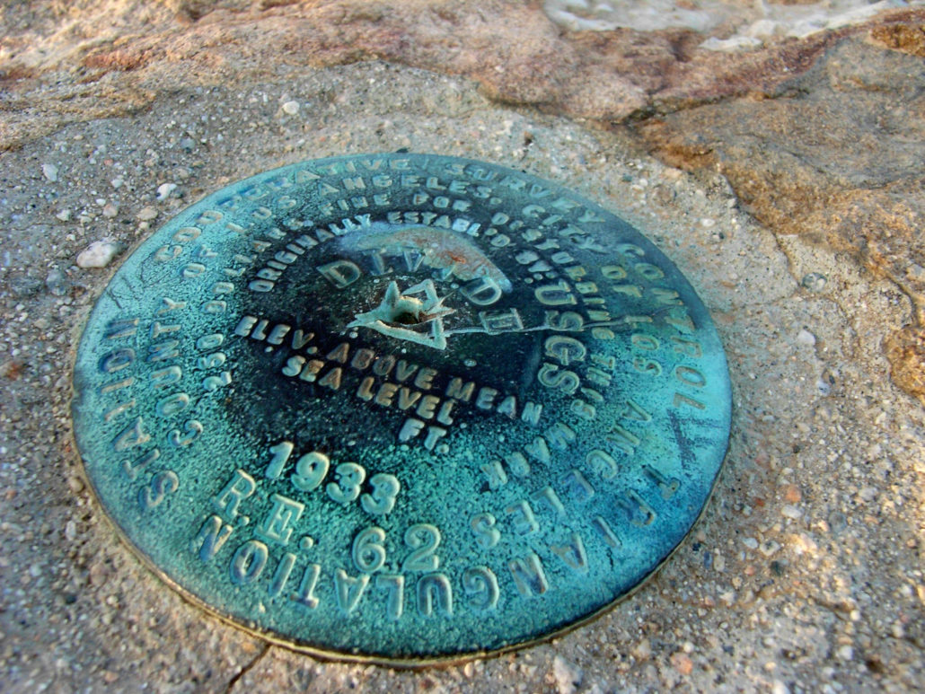
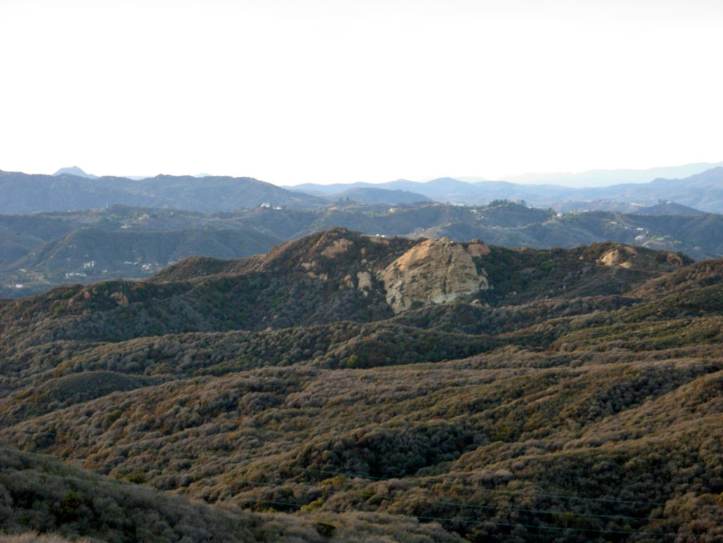
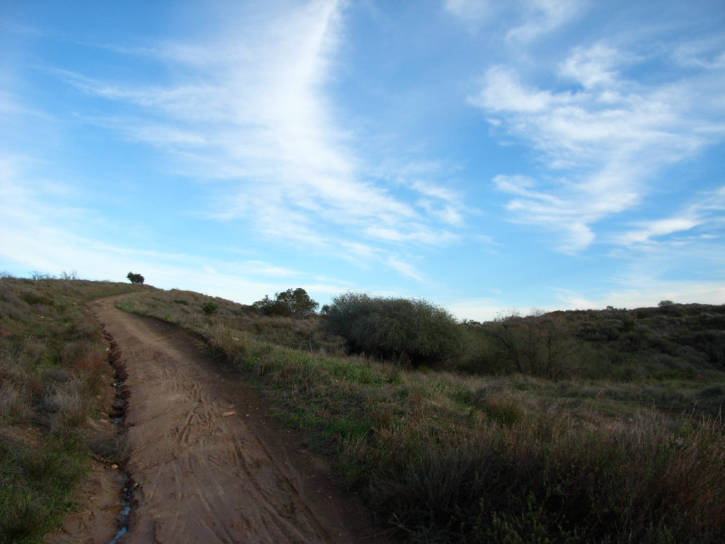
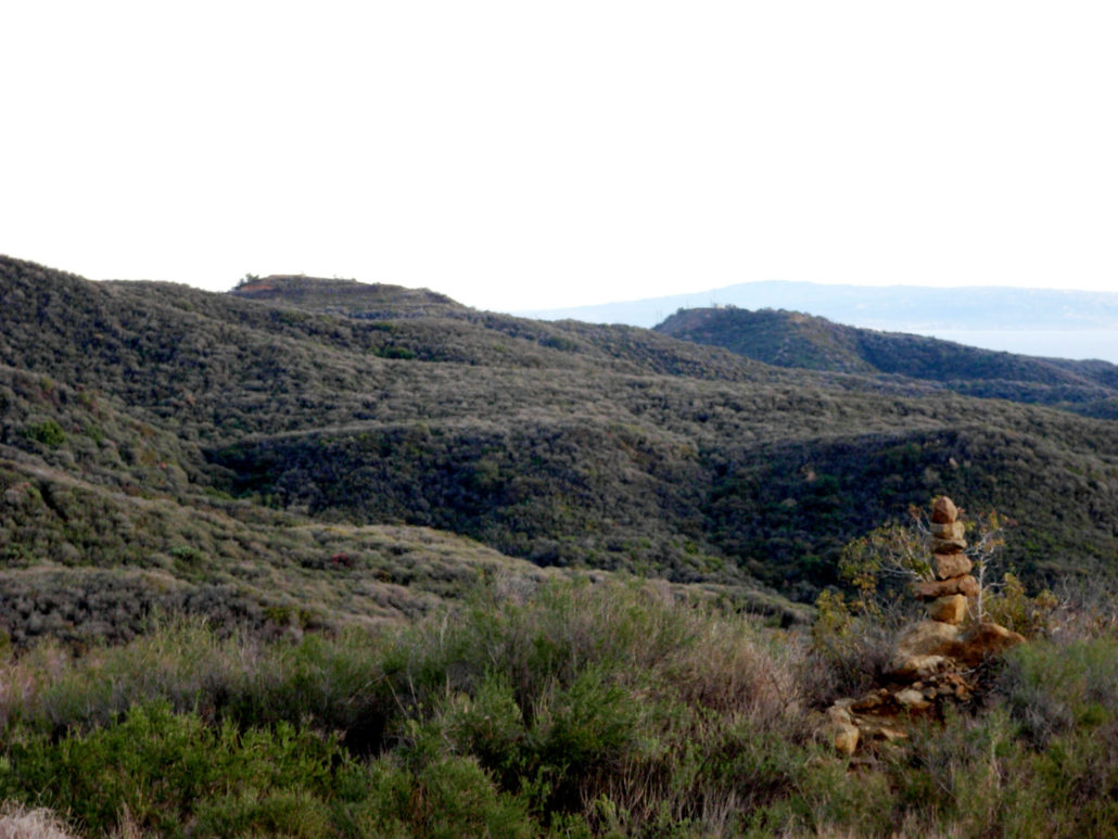
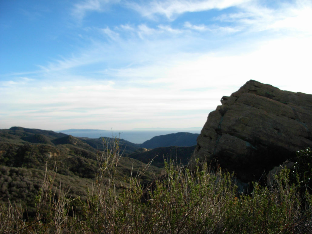
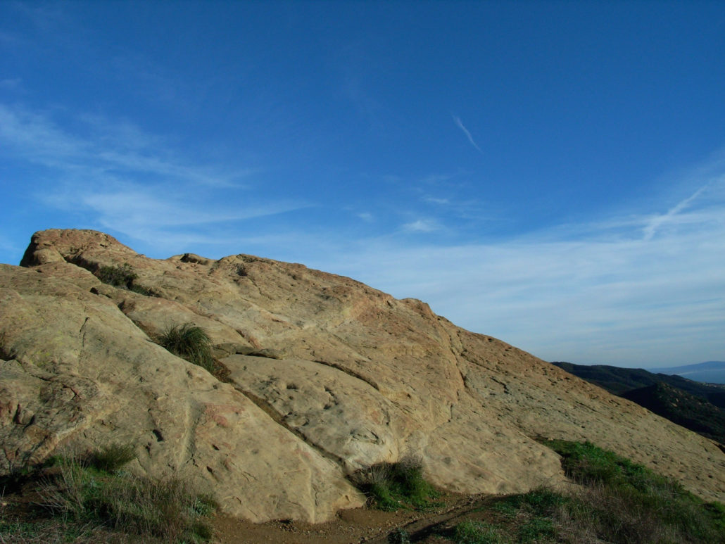
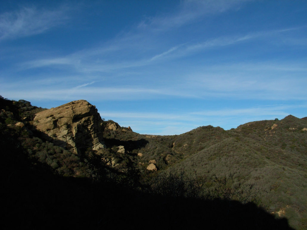
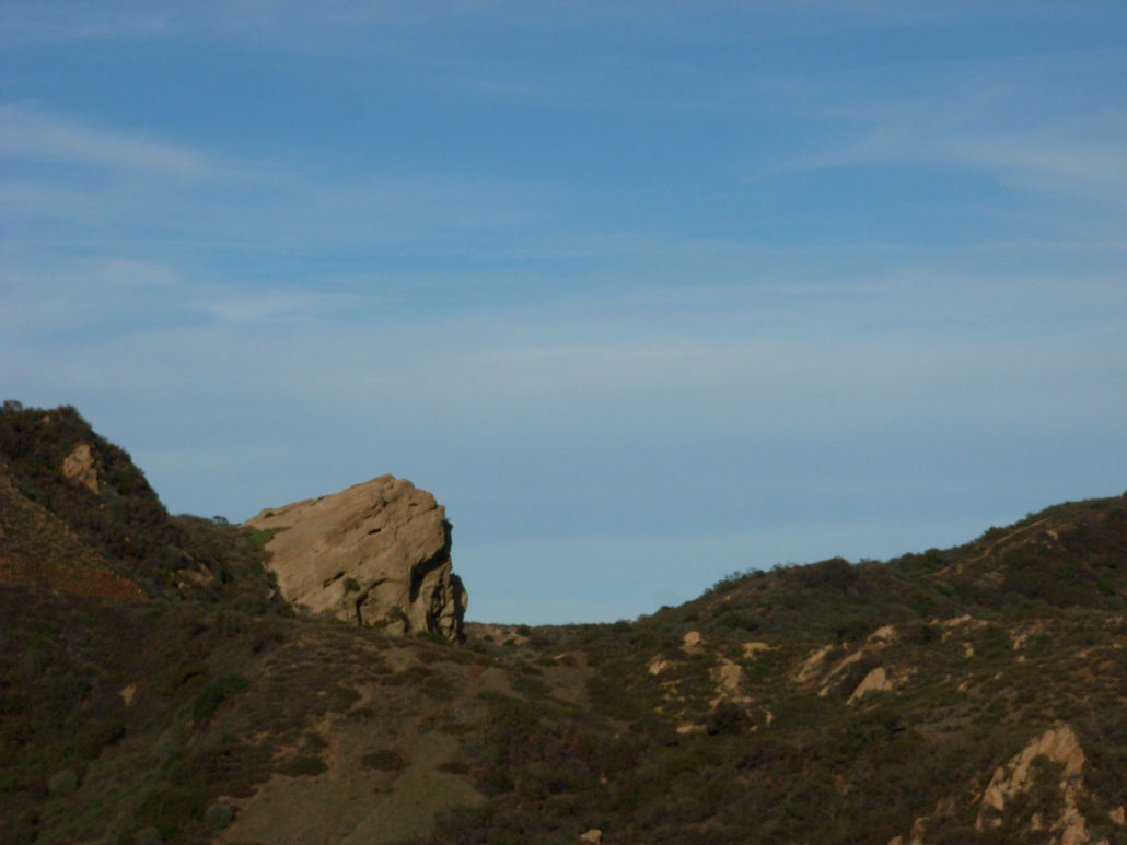
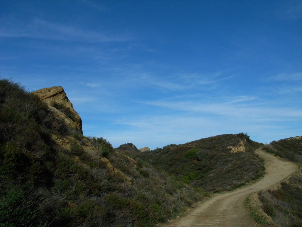
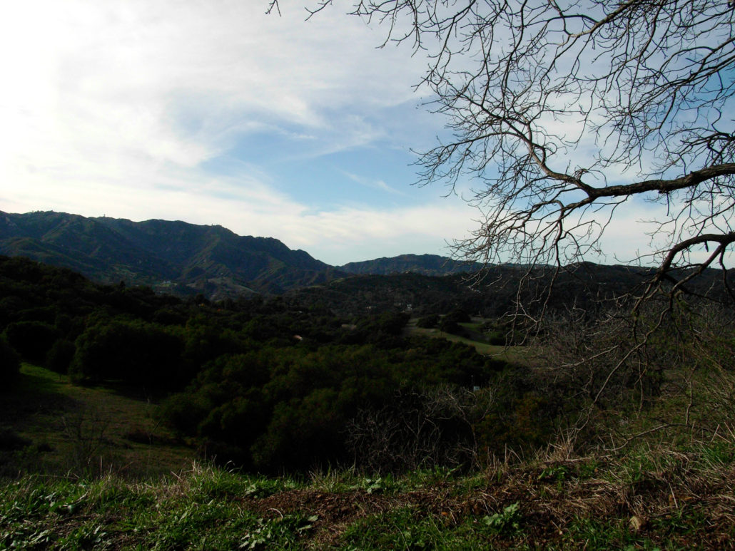
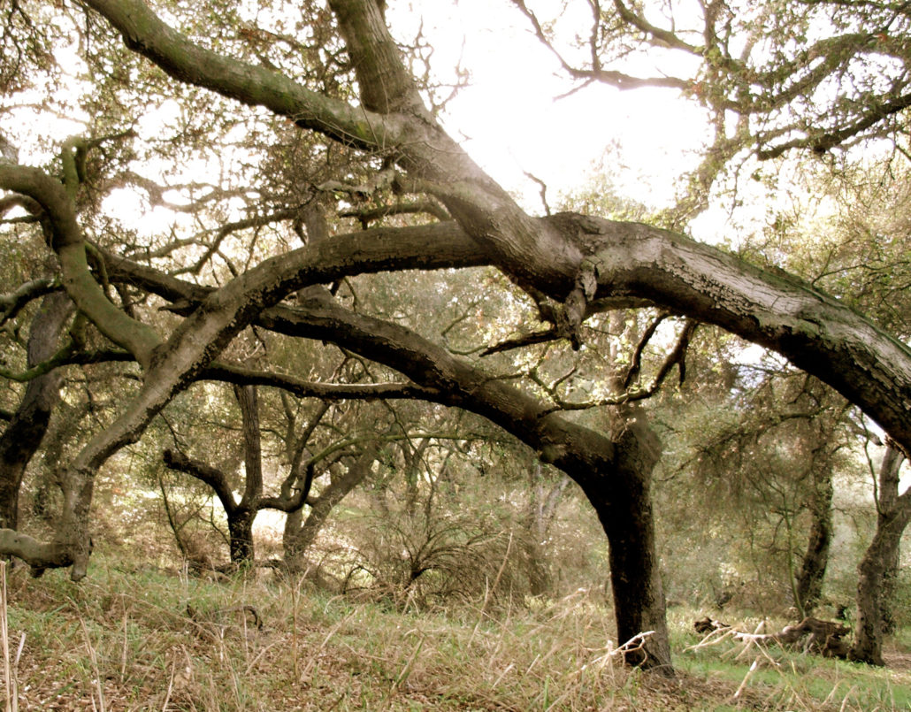
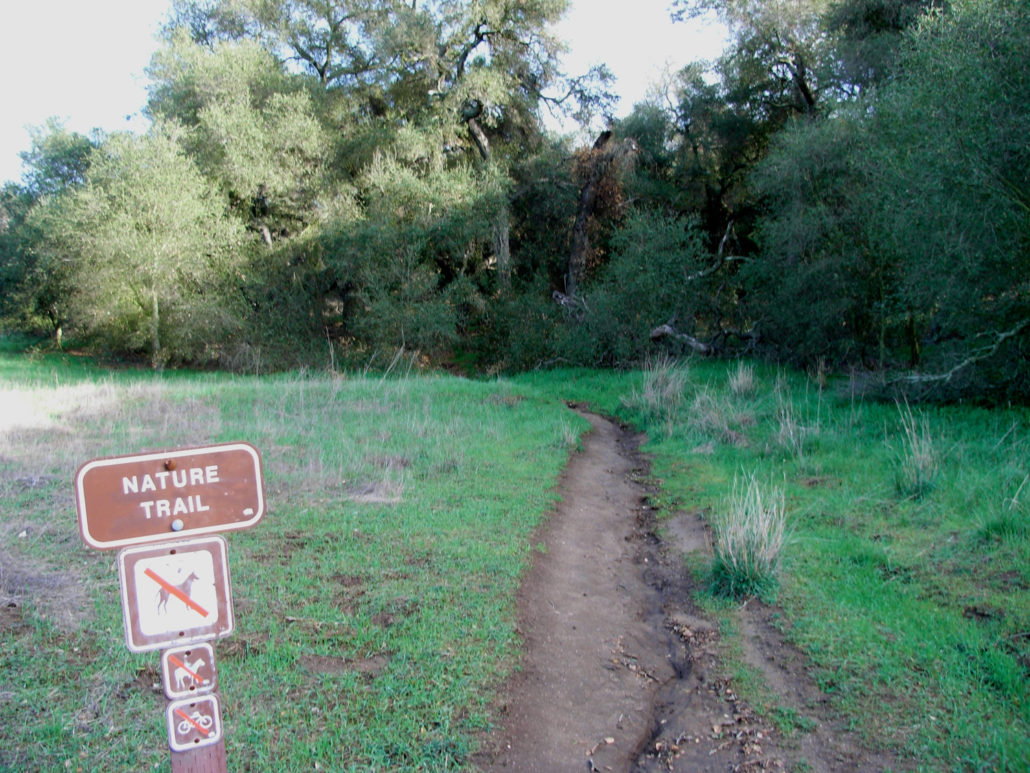
A 7+ mile semi-loop in one of the Los Angeles area’s most accessible parks. Some classic, Sycamore-covered SoCal geography, with meadows, boulder formations and outcroppings, and rolling chaparral ridges. Excellent views of the Pacific Ocean, the Santa Monica Mountains and — if you’re lucky — the far reaching sprawl of the Los Angeles megalopolis. Topanga State Park is the largest state park in the Santa Monica Mountains and the largest State Park inside L.A. City Limits. What’s important for hikers is that the park is big, has a very-well designed and labeled system of trails, and is accessible from several different approaches. From the north, you can enter off Reseda Blvd. through Caballero Canyon Park, from the south, entrances are just off Sunset Blvd. through Will Rogers and Temescal Gateway Parks, or through the Pacific Palisades neighborhood. Or you can enter from the western end of the park, from Topanga Canyon’s Trippet Ranch. I hadn’t been to this park in a long time, although it was one of the first places I started hiking in Los Angeles. On a Monday afternoon, the Trippet Ranch parking lot was almost empty, and the air had just enough of a chill to require long sleeves. In other words, perfect. From Trippet Ranch, there are several options, and I decided to head toward Eagle Rock on the Eagle Springs Fire Road instead of taking the Backbone Trail / Musch Trail. I should note, however, that during the spring and summer, the meadows on the Musch Trail absolutely explode with color, and it’s definitely worth exploring. From the parking lot, you can either wind up the East Topanga Fire Road to the Eagle Springs Route, or you can proceed up the much shorter Nature Trail that passes a ranch building / education center. It’s a very short path, and dives under some tree-cover for a quick glimpse at some typical coastal range sycamores. Shortly after that, you’ll find yourself on the Fire Road, which is wide, sandy, and well-maintained. If you’re hiking this in the summer, be aware that there’s almost no sh
Trail Stats
11.9 km
282 m
631 m
365 m
—
Photos
Trail photo
No caption provided.
Trail photo
No caption provided.
Trail photo
No caption provided.
Trail photo
No caption provided.
Trail photo
No caption provided.

Trail photo
No caption provided.
Trail photo
No caption provided.
Trail photo
No caption provided.
Trail photo
No caption provided.
Trail photo
No caption provided.
Trail photo
No caption provided.
Trail photo
No caption provided.
Trail photo
No caption provided.